1970s Maps of Valley County, Idaho
Explore 32 historic maps of Valley County from the 1970s. These maps offer a rare glimpse into what life looked like during the 1970s — showing old roads, neighborhoods, homes, and landmarks that have changed or disappeared over time.
Whether you're researching your family's past, planning a metal detecting trip, or studying how Valley County's landscape evolved across the 1970s, these high-resolution maps are a powerful tool for exploring the history of this region.
- Focus on a specific era: All maps on this page are from the 1970s, giving you a focused view of this time period.
- See what’s changed: Compare century-old streets, trails, and buildings to today's modern landscape using overlays and satellite layers.
- Research with precision: Use these maps for genealogy, historical research, land use analysis, or educational projects.
- View, download, or print: Maps are fully viewable online in high resolution, and can be downloaded or printed for your own records.
Start exploring Valley County's history through authentic maps from the 1970s. This is your window into the past.
Valley County, ID maps
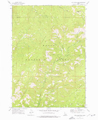
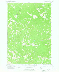
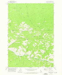
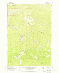
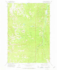
(32)- 1972 Map of Bull Trout Point, 1975 Print
 1972 Bull Trout Point1975 Print · USGSThe high divide of the Sawtooth range in the early 1970s shows a landscape of mountain trails and alpine lakes. Researchers can trace historic access routes to prospects, remote campgrounds, and the headwaters of Dead Man Creek and Bull Trout Lake.2 unique versions available
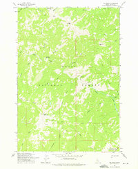
 - 1972 Map of Cache Creek, 1976 Print
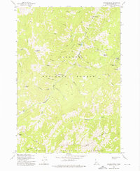
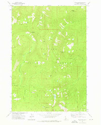
 1972 Cache Creek1976 Print · USGSThe Boise National Forest backcountry in the early 1970s is shown here as a wilderness of high meadows and pack trails. Trace the routes of the EIGHTMILE PACK TRAIL to the Sack Creek Campground or locate the Transfer Cabin (Site) near Mace Meadows.
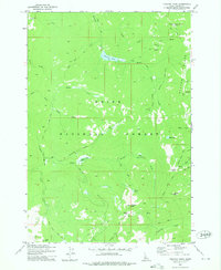
 - 1972 Map of Miller Mtn East, 1976 Print
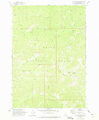
 1972 Miller Mtn East1976 Print · USGSThe high country of the Boise National Forest is charted in the 1970s, showing a remote landscape of pack trails and prominent peaks. Trace the routes of the Pack Trail or locate family landmarks near Miller Mountain and Eightmile Creek.
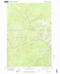
 - 1972 Map of Scott Creek, 1976 Print
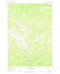
 1972 Scott Creek1976 Print · USGSCentral Idaho in the early seventies was a landscape of deep timber and forest management. Trace high-country routes like the Packsaddle Trail and find backcountry landmarks including the Deadwood Lookout and Center Camp Corral.
 - 1972 Map of Miller Mtn West, 1976 Print
 1972 Miller Mtn West1976 Print · USGSThe Boise National Forest area in the early seventies shows a wilderness of steep ridges and high-country drainages. Trace the early trails and remote family-named landmarks like Miller Mountain, Deadwood Ridge, and Miller Fence Creek.2 unique versions available
 - 1972 Map of Blue Bunch Mtn, 1977 Print
 1972 Blue Bunch Mtn1977 Print · USGSIn the Idaho backcountry during the early seventies, this area centered on the high meadows and ridges of the Boise National Forest. Researchers can trace the layout of the Bruce Meadows Landing Strip and remote camps like Fir Creek Campground.2 unique versions available
 - 1972 Map of Cape Horn Lakes, 1977 Print
 1972 Cape Horn Lakes1977 Print · USGSThe high Idaho backcountry comes into focus in the early 1970s at the meeting point of the Challis and Boise National Forests. Researchers can trace remote alpine routes like the Pack Trail to Ruffneck Peak and find seasonal landmarks like Bradley Memorial Camp.3 unique versions available
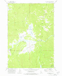
 - 1972 Map of Bear Valley Mtn, 1984 Print
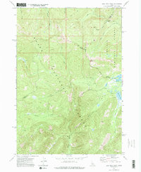
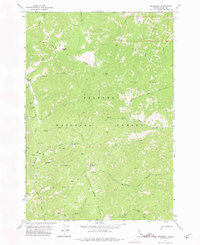
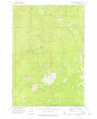
 1972 Bear Valley Mtn1984 Print · USGSThe high backcountry of Valley County is captured in the early 1970s, showing a landscape of national forest management and mountain recreation. Researchers can locate remote outposts like the Elk Creek Ranger Station and trace the reaches of Corduroy Meadows and Bearskin Meadows.
 - 1973 Map of Center Mtn, 1975 Print
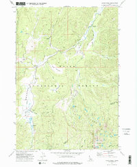
 1973 Center Mtn1975 Print · USGSThe high country of the Payette National Forest is captured here in the early 1970s, showing a landscape of steep ridges and packing trails. Researchers can trace the Monumental Pack Trail past the Thunder City (Site) and find the remote Simonds Landing Strip.
 - 1973 Map of Rainbow Peak, 1975 Print
 1973 Rainbow Peak1975 Print · USGSThe high Idaho backcountry of the early 1970s reveals a legacy of mountain mining and remote encampments. Researchers can locate the Dewey Mine, the Twentieth Century Mill (Site), and the small Cem near the banks of Fall Creek.
 - 1973 Map of Big Chief Creek, 1975 Print
 1973 Big Chief Creek1975 Print · USGSBackcountry mining and trail networks defined this part of Idaho's Salmon River Mountains in the early 1970s. Researchers can trace remote operations at the Springfield Mine, follow the historic Kiwah Trail, and locate high-altitude landmarks like Indian Creek Point.
 - 1973 Map of Safety Creek, 1975 Print
 1973 Safety Creek1975 Print · USGSThe Idaho backcountry in the early 1970s remained a landscape of isolated mines and rugged trails. Researchers can locate the Belleco (Site), the Venable Mine, and old Ruins along the banks of Safety Creek.
 - 1973 Map of Acorn Butte, 1975 Print
 1973 Acorn Butte1975 Print · USGSThe wilderness of the Payette National Forest is revealed here in the 1970s, as pack trails and river camps defined the backcountry. Trace remote history at the Snowshoe Mine, the Acorn Butte lookout, and uniquely named river landings like Soft Boil Bar.2 unique versions available
 - 1973 Map of Big Baldy, 1975 Print
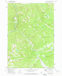
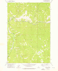
 1973 Big Baldy1975 Print · USGSThe high country of Valley County in the early seventies remains a wilderness of peaks and pack routes. Trace the path of the Indian Trail past Kwiskwis Hot Spring or locate the fire lookout atop Lookout Big Baldy.
 - 1973 Map of Chilcoot Peak, 1975 Print
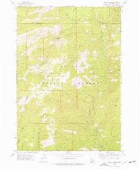
 1973 Chilcoot Peak1975 Print · USGSValley County high country is mapped here during the early seventies, showing a landscape defined by forest trails and isolated peaks. Trace the routes of the Thunder Mountain Road (Pack) or locate landmarks like Riordan Lookout and Pistol Rock.
 - 1973 Map of Bismark Mtn, 1975 Print
 1973 Bismark Mtn1975 Print · USGSThe remote Idaho backcountry comes into focus in the early seventies, detailing the high ridges and drainage basins of the Payette National Forest. Trace early prospecting routes and human landmarks like Copper Camp, the Grave near Copper Creek, and Monumental Bar.2 unique versions available
 - 1973 Map of Monument, 1975 Print
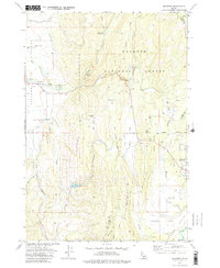
 1973 Monument1975 Print · USGSValley County, Idaho is shown in the early seventies, dominated by the high-elevation terrain of the Payette National Forest. Researchers can trace remote backcountry access points like Simonds Landing Strip, the Pack Trail system, and Lookout Mountain.
 - 1973 Map of Pungo Mountain, 1975 Print
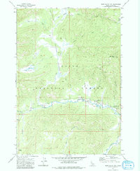
 1973 Pungo Mountain1975 Print · USGSThe Salmon River backcountry of central Idaho is captured here in the early seventies, spanning the border of Valley and Custer Counties. Researchers can trace the layout of isolated forest outposts like the Indian Creek Guard Station and the Indian Creek Landing Field near Aguinaldo Flat.
 - 1973 Map of Meadows, 1976 Print
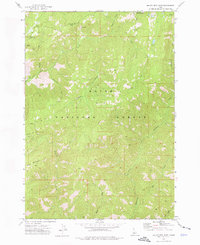
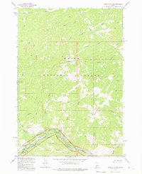
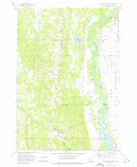
 1973 Meadows1976 Print · USGSMeadows and the surrounding high-country flats of western Idaho are captured here in the early seventies as the region maintained its timber and transport roots. Researchers can trace the Old Railroad Grade and locate historic sites like Meadows Valley Cem and Packer Johns Cabin State Park.2 unique versions available
 - 1973 Map of Yellow Pine, 1976 Print
 1973 Yellow Pine1976 Print · USGSIn the Idaho backcountry during the 1970s, this area shows a landscape defined by forest service outposts and remote mountain ranches. You can trace early settlement and infrastructure through Pioneer Cem, the Abstein Place, and the Johnson Creek Airport.2 unique versions available
 - 1973 Map of Stibnite, 1976 Print
 1973 Stibnite1976 Print · USGSValley County mining life is preserved here in the 1970s, centered on the active industrial operations around Stibnite. Researchers can trace the backcountry infrastructure of the Yellow Pine Mine, the Meadow Creek Landing Field, and remote sites like Monday Camp.2 unique versions available
 - 1973 Map of Blackmare, 1976 Print
 1973 Blackmare1976 Print · USGSCentral Idaho's backcountry in the 1970s is shown through its network of high-elevation summits and remote waterways. Trace the historic pack trails leading to Miners Peak Lookout, Blackmare Lookout, and Dismal Lake.2 unique versions available
 - 1973 Map of No Business Mtn, 1976 Print
 1973 No Business Mtn1976 Print · USGSValley County’s rugged interior and the agricultural Long Valley are documented here during the early seventies. Genealogists and historians can trace family-named landmarks like Hartsell Bridge and the Old Fort (Ruins) near the North Fork Payette River.2 unique versions available
 - 1973 Map of White Rock Peak, 1976 Print
 1973 White Rock Peak1976 Print · USGSThe South Fork Salmon River canyon comes to life in the early 1970s, showcasing the primitive recreation sites and backcountry routes of central Idaho. Researchers can locate remote landmarks like White Rock Peak, the Spring (Hot) near Goat Creek, and the Lodgepole Campground.2 unique versions available
 - 1973 Map of Log Mountain, 1976 Print
 1973 Log Mountain1976 Print · USGSThe Salmon River Mountains of central Idaho appear in the early 1970s as a high-altitude wilderness defined by pack trails and forest boundaries. Researchers can trace the Old Thunder Mtn Road and locate remote sites like Cox Ranch and Halfway Station (Site).2 unique versions available
Showing maps 1-25 of 32
Top cities of Valley County
Frequently asked questions
- What are the different types of historical maps available for Valley County?
- What is the oldest map of Valley County?
- Where can I purchase historical maps of Valley County for my home or office?
- Where can I download high-res historical maps of Valley County?
- Are there historical topographic maps available for Valley County?
- Is there historical aerial imagery available for Valley County?
- Where are historical maps of Valley County sourced from?