2020s Maps of Valley County, Idaho
Explore 199 historic maps of Valley County from the 2020s. These maps offer a rare glimpse into what life looked like during the 2020s — showing old roads, neighborhoods, homes, and landmarks that have changed or disappeared over time.
Whether you're researching your family's past, planning a metal detecting trip, or studying how Valley County's landscape evolved across the 2020s, these high-resolution maps are a powerful tool for exploring the history of this region.
- Focus on a specific era: All maps on this page are from the 2020s, giving you a focused view of this time period.
- See what’s changed: Compare century-old streets, trails, and buildings to today's modern landscape using overlays and satellite layers.
- Research with precision: Use these maps for genealogy, historical research, land use analysis, or educational projects.
- View, download, or print: Maps are fully viewable online in high resolution, and can be downloaded or printed for your own records.
Start exploring Valley County's history through authentic maps from the 2020s. This is your window into the past.
Valley County, ID maps
(199)- 2020 Map of Paddy Flat, 2020 Print
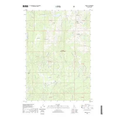 2020 Paddy Flat2020 Print · USGSValley County, Idaho, is documented here in the early twenty-first century as a land of high-elevation meadows and timbered peaks. Hikers and researchers can trace access routes to Louie Lake and Paddy Flat, or locate landmarks like Jughandle Mtn and Jug Meadows.
 - 2020 Map of Sloans Point, 2020 Print
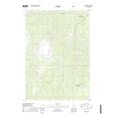 2020 Sloans Point2020 Print · USGSValley County is shown in recent detail as it transitions between two major national forests. Modern researchers can trace the course of the Gold Fork River and locate landmarks like the Gold Fork Hot Spring and the remote Little Valley settlement.
 - 2020 Map of Yellow Pine, 2020 Print
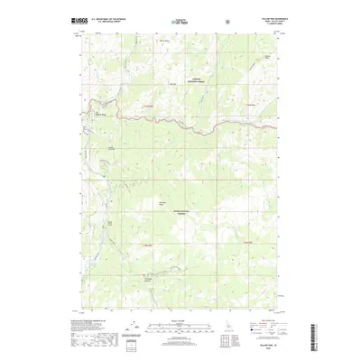 2020 Yellow Pine2020 Print · USGSThe remote Idaho backcountry near the confluence of the Salmon River's forks is captured here in the early twenty-first century. Researchers can trace the layout of Yellow Pine, locate the Yellow Pine Pioneer Cem, and find landmarks like Johnson Creek Airport and Deadhorse Rapids.
 - 2020 Map of Pistol Lake, 2020 Print
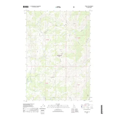 2020 Pistol Lake2020 Print · USGSValley County, Idaho, is shown in this recent survey of high-elevation wilderness within the Boise National Forest. Backpackers and hunters can trace the Summit Trail as it climbs toward Little Baldy or drops down to the banks of Pistol Lake.
 - 2020 Map of Bull Creek Hot Springs, 2020 Print
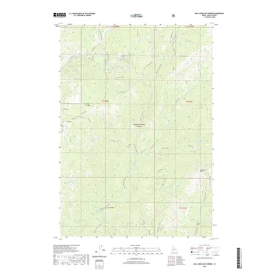 2020 Bull Creek Hot Springs2020 Print · USGSValley County high country is documented here in the early twenty-first century, showcasing the deep river canyons and peaks of the North Fork Range. Trace the paths of forest service routes to landmarks like Bull Creek Hot Springs and the Silver Creek Lookout.
 - 2020 Map of Rainbow Peak, 2020 Print
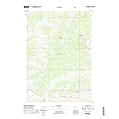 2020 Rainbow Peak2020 Print · USGSValley County’s high-altitude wilderness is mapped here in the contemporary era within the Payette National Forest. Researchers can trace the steep drainages of Monumental Creek and identify landmarks like Roosevelt Lake and Thunder Mtn.
 - 2020 Map of Bear Valley Mountain, 2020 Print
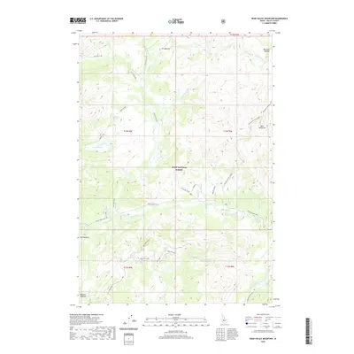 2020 Bear Valley Mountain2020 Print · USGSCentral Idaho's high forest interior is captured here in the 2020s, showing a landscape defined by meadow systems and fire lookout history. Trace the remote Stanley-Warm Lake corridor to find Jensen Cabin or the high Bear Valley Mtn Lookout.
 - 2020 Map of Oro Mountain, 2020 Print
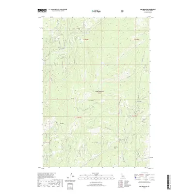 2020 Oro Mountain2020 Print · USGSValley County’s high-country terrain is captured here in the contemporary era, showing the intricate drainages and summits of the Boise National Forest. Trace the paths of early travelers through Railroad Pass or explore the remote waters of Curtis Lake and the Middle Fork Payette River.
 - 2020 Map of Rice Peak, 2020 Print
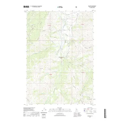 2020 Rice Peak2020 Print · USGSValley County’s high backcountry in the Boise National Forest is documented here in the early twenty-first century. Researchers and hikers can locate the thermal Vulcan Hot Springs, the broad Stolle Meadows, and the lookout point at Rice Peak.
 - 2020 Map of Fitsum Peak, 2020 Print
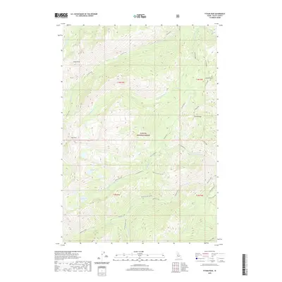 2020 Fitsum Peak2020 Print · USGSPayette National Forest in the early twenty-first century reveals a high-country landscape of summits and springs. Researchers can trace the drainages of Fitsum Creek and Buckhorn Creek or locate landmarks like Buckhorn Hot-Spring and Rainbow Lakes.
 - 2020 Map of Tyndall Meadows, 2020 Print
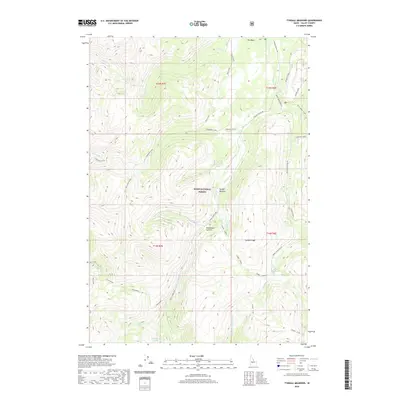 2020 Tyndall Meadows2020 Print · USGSValley County’s high backcountry in the Boise National Forest is shown here in the contemporary era. Outdoorsmen and geographers can trace the headwaters of the East Fork Deadwood River and locate remote landmarks like Deadwood Summit and Sheepherder Lake.
 - 2020 Map of Deadwood Reservoir, 2020 Print
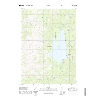 2020 Deadwood Reservoir2020 Print · USGSValley County, Idaho, is defined by the high-elevation waters of the Boise National Forest in this contemporary topographic record. Modern researchers can trace the roads and landmarks surrounding the Deadwood Reservoir, including the Deadwood Dam and its remote mountain Airstrip.
 - 2020 Map of Scott Creek, 2020 Print
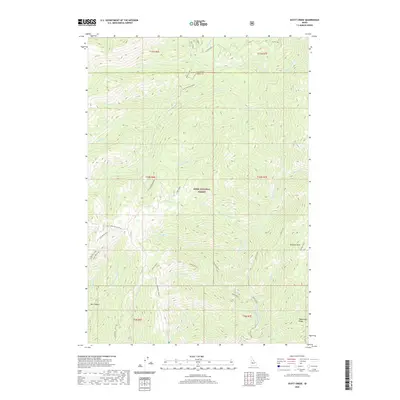 2020 Scott Creek2020 Print · USGSThe Boise National Forest backcountry in recent years reveals a landscape of high-altitude lookouts and remote river canyons. Researchers can trace the drainage of the Deadwood River and locate historic high points like Scott Mountain Lookout and Stevens Point.
 - 2020 Map of Sixmile Point, 2020 Print
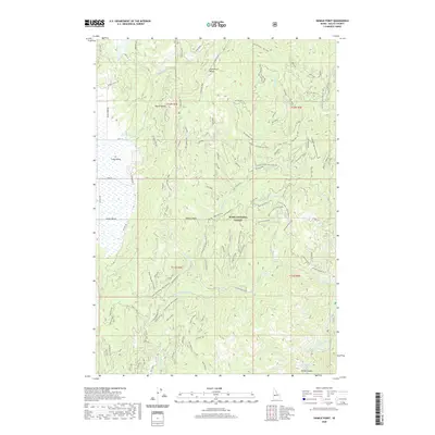 2020 Sixmile Point2020 Print · USGSValley County, Idaho, is shown here in its modern state within the Boise National Forest during the 2020s. Researchers can trace forest access routes and find unique landmarks like Hot Springs in Rocky Canyon and the high ridges of Table Mountain.
 - 2020 Map of Chilcoot Peak, 2020 Print
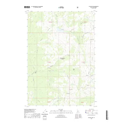 2020 Chilcoot Peak2020 Print · USGSValley County’s high backcountry in the Boise National Forest is documented here in the early twenty-first century. Outdoor historians and researchers can trace high-altitude routes like the Summit Trail and locate industrial sites such as the Springfield Mine and Meadow Cr Lookout.
 - 2020 Map of White Rock Peak, 2020 Print
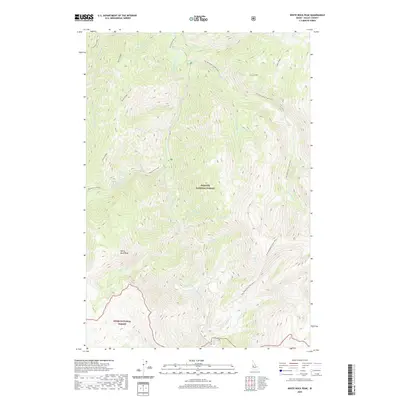 2020 White Rock Peak2020 Print · USGSValley County is shown in the early twenty-first century as a wilderness defined by the South Fork Salmon River. You can trace high-elevation ridgelines and remote watercourses like White Rock Peak, Indian Ridge, and Blackmare Creek.
 - 2020 Map of Skunk Creek Summit, 2020 Print
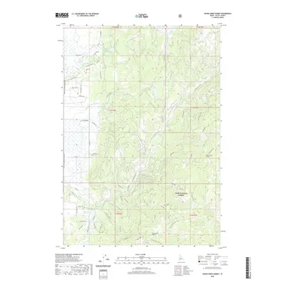 2020 Skunk Creek Summit2020 Print · USGSHigh in Valley County during the early twenty-first century, this Idaho landscape is defined by the North Fork Range and the timber-rich Boise National Forest. Researchers can trace old forest routes and local history at the Alpha Cem or near the East Mountain Reservoir.
 - 2020 Map of Boiling Springs, 2020 Print
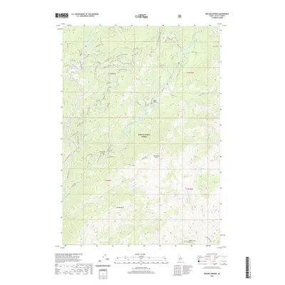 2020 Boiling Springs2020 Print · USGSValley County in the modern era remains a wild landscape of river drainages and forest summits. Researchers can trace the backcountry roads to remote landmarks like Boiling Springs, Silver Creek Plunge, and the heights of Rattlesnake Point.
 - 2020 Map of Gold Fork Rock, 2020 Print
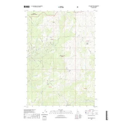 2020 Gold Fork Rock2020 Print · USGSValley County’s high forest lands are captured here in the recent era, showing the meeting point of two national forests. Trace the network of backcountry access routes like Needles Route and Foolhen Way to landmarks like Gold Fork Rock and Big Creek Summit.
 - 2020 Map of Caton Lake, 2020 Print
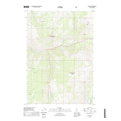 2020 Caton Lake2020 Print · USGSValley County, Idaho, is shown at the junction of two national forests in this modern topographic survey. Researchers and hikers can trace the drainages of Caton Creek and locate remote high-country landmarks like Indian Peak, Marion Lake, and Sawpit Hill.
 - 2020 Map of Honeymoon Lake, 2020 Print
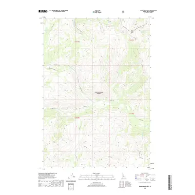 2020 Honeymoon Lake2020 Print · USGSValley County’s backcountry comes into focus in this recent survey of the Boise National Forest wilderness. You can trace the high-country routes of the Honeymoon Trail and Camptender Trail as they navigate the ridges around Honeymoon Lake.
 - 2020 Map of Artillery Dome, 2020 Print
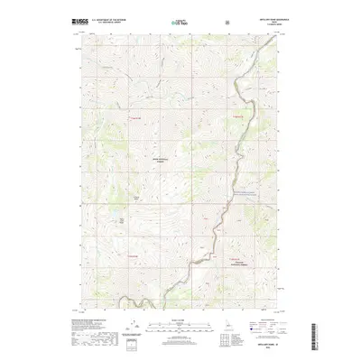 2020 Artillery Dome2020 Print · USGSThe Middle Fork Salmon River canyon in the Idaho wilderness is captured here in its protected state within the Boise and Challis National Forests. Researchers and outdoorsmen can trace the river's volatile path through Pistol Creek Rapids and locate the remote Sheeheater Hot Springs.
 - 2020 Map of Lightning Ridge, 2020 Print
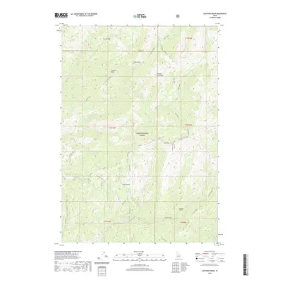 2020 Lightning Ridge2020 Print · USGSValley and Boise Counties are documented here as they appeared recently, focused on the high ridgelines of the Boise National Forest. Researchers can locate remote landmarks like the Scott Mountain Lookout, Onion Valley, and Granite Basin.
 - 2020 Map of Eagle Nest, 2020 Print
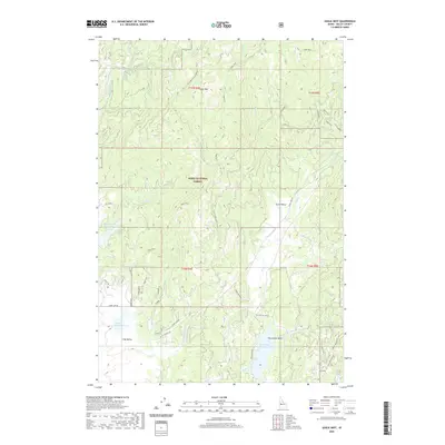 2020 Eagle Nest2020 Print · USGSValley County in the early twenty-first century reveals a rugged landscape of national forest and high-altitude basins. Researchers can trace remote settlements like Eagle Nest and Scott Valley or locate water features such as Horsethief Reservoir.
 - 2020 Map of No Business Mountain, 2020 Print
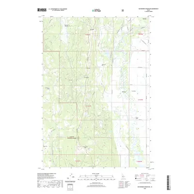 2020 No Business Mountain2020 Print · USGSThe high country west of McCall is captured in this modern survey of the Long Valley region. Researchers can trace land use and water management through features like Old Fort, the Hait Reservoir, and the winding North Fork Payette River.
Showing maps 1-25 of 199
Top cities of Valley County
Frequently asked questions
- What are the different types of historical maps available for Valley County?
- What is the oldest map of Valley County?
- Where can I purchase historical maps of Valley County for my home or office?
- Where can I download high-res historical maps of Valley County?
- Are there historical topographic maps available for Valley County?
- Is there historical aerial imagery available for Valley County?
- Where are historical maps of Valley County sourced from?