2010s Maps of Valley County, Idaho
Explore 285 historic maps of Valley County from the 2010s. These maps offer a rare glimpse into what life looked like during the 2010s — showing old roads, neighborhoods, homes, and landmarks that have changed or disappeared over time.
Whether you're researching your family's past, planning a metal detecting trip, or studying how Valley County's landscape evolved across the 2010s, these high-resolution maps are a powerful tool for exploring the history of this region.
- Focus on a specific era: All maps on this page are from the 2010s, giving you a focused view of this time period.
- See what’s changed: Compare century-old streets, trails, and buildings to today's modern landscape using overlays and satellite layers.
- Research with precision: Use these maps for genealogy, historical research, land use analysis, or educational projects.
- View, download, or print: Maps are fully viewable online in high resolution, and can be downloaded or printed for your own records.
Start exploring Valley County's history through authentic maps from the 2010s. This is your window into the past.
Valley County, ID maps
(285)- 2010 Map of Lake Fork, 2010 Print
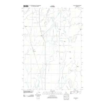 2010 Lake Fork2010 Print · USGSValley County, Idaho, is documented in this 2010 survey during a period of established ranching and irrigation. Researchers can trace historic family lands through sites like Finn Cemetery, Spink, and the Lake Irrigation District Canal.
 - 2011 Map of Whitehawk Mountain, 2011 Print
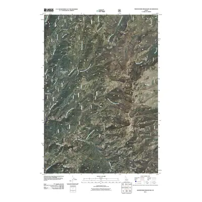 2011 Whitehawk Mountain2011 Print · USGSValley County high country is shown here in the early twenty-first century, centered on the heights of Whitehawk Mountain. Researchers can trace the legacy of resource extraction at Mary Blue Mine or follow the complex watersheds of Warm Springs Creek and the Deadwood River.
 - 2011 Map of Big Soldier Mountain, 2011 Print
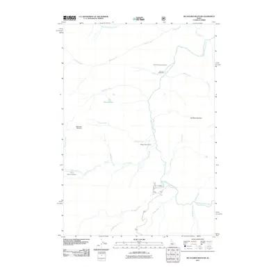 2011 Big Soldier Mountain2011 Print · USGSValley County wilderness comes into focus in this early twenty-first-century survey of the salmon river backcountry. Researchers and explorers can locate remote landmarks like Sulphur Creek Ranch, the Morgan Ranch Airport, and the high peak of Big Soldier Mountain.
 - 2011 Map of Gold Fork Rock, 2011 Print
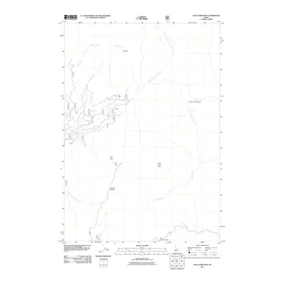 2011 Gold Fork Rock2011 Print · USGSIdaho’s high-country drainages are charted here in the early twenty-first century as they branch toward the North Fork Gold Fork River. Researchers can trace the network of forest roads to landmark elevations like Gold Fork Rock, Gold Fork Lookout, and the Needles.
 - 2011 Map of Bernard Mountain, 2011 Print
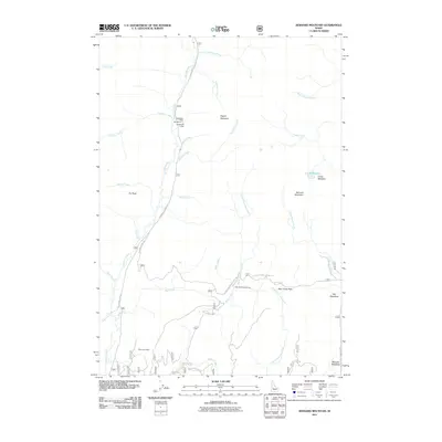 2011 Bernard Mountain2011 Print · USGSValley County’s high mountain drainages and mining history are clearly defined in this early twenty-first-century survey. Trace the local topography from the Deadwood River up to peaks like Bernard Mountain or locate the Mary Jane Mine and Deadwood Lodge.
 - 2011 Map of Paddy Flat, 2011 Print
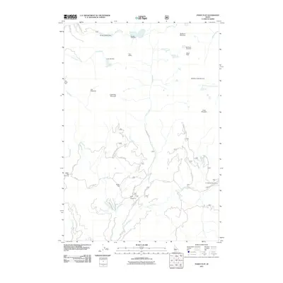 2011 Paddy Flat2011 Print · USGSValley County’s high meadows and alpine peaks are captured here in the early 2000s, showing a landscape of water management and mountain recreation. Trace the routes to Paddy Flat Campground, the waters of Boulder Lake, and the heights of Jughandle Mountain.
 - 2011 Map of Honeymoon Lake, 2011 Print
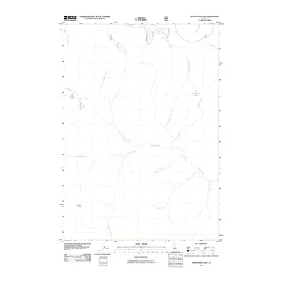 2011 Honeymoon Lake2011 Print · USGSValley County’s remote backcountry is captured here during the early 2010s, showcasing a high-country landscape dominated by an intricate system of creeks and alpine waters. Researchers can trace historical mineral interests at the Portland Mine or follow the naming patterns of Honeymoon Lake and Moonshine Creek.
 - 2011 Map of Oro Mountain, 2011 Print
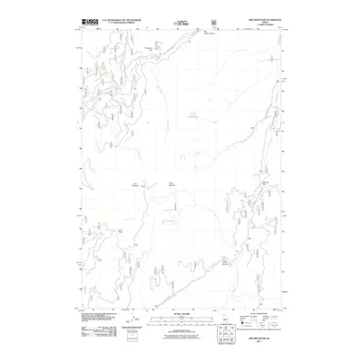 2011 Oro Mountain2011 Print · USGSThe high ridges of Valley County come into focus in this modern era survey of the central Idaho backcountry. Researchers can trace the drainages of the Middle Fork Payette River and locate remote landmarks like Curtis Lake, Railroad Pass, and Oro Mountain.
 - 2011 Map of Blackmare, 2011 Print
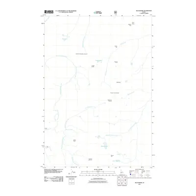 2011 Blackmare2011 Print · USGSHigh in the Salmon River Mountains of Idaho during the early 2010s, this area remains a bastion of remote backcountry geography. Trace the high-altitude hydrology and fire-watch history at sites like Miners Peak Lookout, Blackmare Lake, and the winding Kennally Creek.
 - 2011 Map of Norton Ridge, 2011 Print
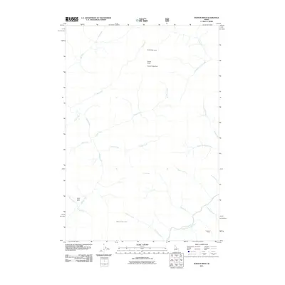 2011 Norton Ridge2011 Print · USGSCentral Idaho's mountain landscape was documented in detail just after the turn of the millennium, centered on the high drainages of the Salmon River system. Researchers can trace remote sites like Marble Creek Ranch, Norton Ridge Lookout, and Cameron Ranch.
 - 2011 Map of Yellow Pine, 2011 Print
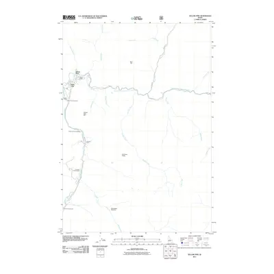 2011 Yellow Pine2011 Print · USGSYellow Pine and the surrounding Idaho backcountry are captured in this 2011 survey during a period of modern mountain settlement and recreation. Genealogists and historians can locate the Pioneer Cemetery and Abstein Place, or trace the winding course of Stibnite Rd.
 - 2011 Map of Teapot Mountain, 2011 Print
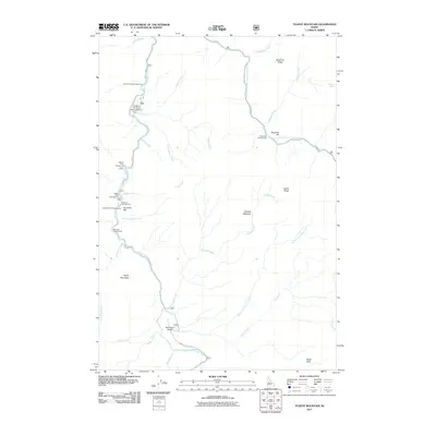 2011 Teapot Mountain2011 Print · USGSValley County, Idaho, is seen here in the early twenty-first century as a remote landscape shaped by the forks of the Salmon River. Researchers can locate backcountry infrastructure like the Krassel-US Forest Service Airport and Buckhorn Bar.
 - 2011 Map of Soldier Creek, 2011 Print
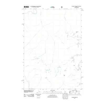 2011 Soldier Creek2011 Print · USGSIdaho’s backcountry mineral claims and alpine waters are recorded here in the early twenty-first century. Researchers can trace the proximity of historic operations like the Greyhound Mine and Seafoam Mine to high-country landmarks such as Josephus Lake.
 - 2011 Map of Bull Creek Hot Springs, 2011 Print
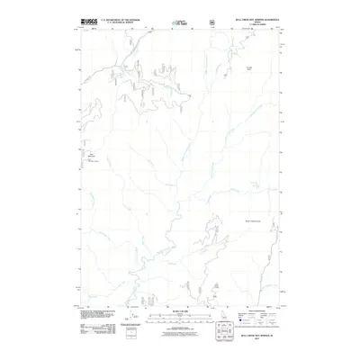 2011 Bull Creek Hot Springs2011 Print · USGSValley County’s backcountry comes into focus in this 2011 survey of the Boise National Forest. Researchers can trace forest access roads to sites like Bull Creek Hot Springs and the fire lookouts at East Mountain and Silver Creek Lookout.
 - 2011 Map of Fitsum Peak, 2011 Print
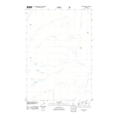 2011 Fitsum Peak2011 Print · USGSValley County’s backcountry in the early 2010s was a landscape defined by high ridges and thermal springs. Researchers can trace the drainage of Fitsum Creek or locate isolated landmarks like Buckhorn Hot Spring, Buckhorn Lake, and Sixmile Ridge.
 - 2011 Map of Sixmile Point, 2011 Print
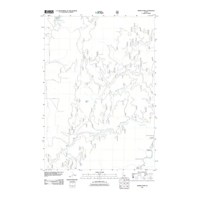 2011 Sixmile Point2011 Print · USGSThe Payette River backcountry of Valley County is documented here during the early twenty-first century. Outdoor enthusiasts and researchers can trace access routes to Herrick Reservoir and remote sites like Rattlesnake Campground.
 - 2011 Map of Bear Valley Mountain, 2011 Print
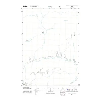 2011 Bear Valley Mountain2011 Print · USGSValley County, Idaho, is shown at the start of the 2010s as a high-country landscape defined by its complex creek systems and mountain meadows. Researchers can trace forest service landmarks like the Bear Valley Patrol Cabin or find remote camps at Elk Creek Campground and Tennessee Creek Campground.
 - 2011 Map of Pistol Lake, 2011 Print
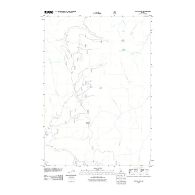 2011 Pistol Lake2011 Print · USGSValley County’s backcountry comes into sharp focus in the early 2010s, revealing a landscape of high summits and intricate creek systems. Trace the remote access routes along Lucky Lad Rd or find quiet landmarks like Pistol Lake and Snowshoe Summit.
 - 2011 Map of Safety Creek, 2011 Print
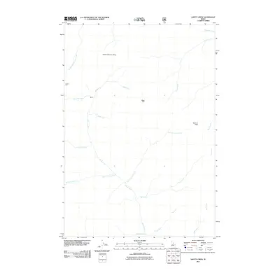 2011 Safety Creek2011 Print · USGSValley County’s high ridges and deep creek drainages are documented here during the early twenty-first century. Mineral and forest history can be traced through the Venable Mine and isolated markers like Black Pole and Belleco.
 - 2011 Map of Bull Trout Point, 2011 Print
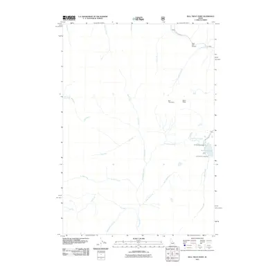 2011 Bull Trout Point2011 Print · USGSValley County’s high backcountry is documented here during a period of modern forest management and recreation. Outdoor enthusiasts and researchers can trace the roads to Bull Trout Lake Campground or follow the waters of Warm Spring Creek and Dead Man Creek.
 - 2011 Map of Lightning Ridge, 2011 Print
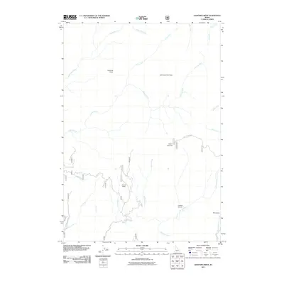 2011 Lightning Ridge2011 Print · USGSValley County is shown in this early twenty-first-century survey of the Boise National Forest backcountry. Topographic researchers and hikers can trace the winding paths of Big Bulldog Creek and the steep elevation of Scott Mountain.
 - 2011 Map of White Rock Peak, 2011 Print
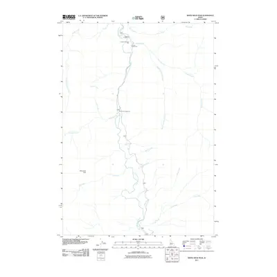 2011 White Rock Peak2011 Print · USGSThe South Fork Salmon River basin in Valley County is documented here during the early twenty-first century as a corridor of mountain recreation. You can trace the forest roads to remote sites like Poverty Flat Campground, Lodgepole Roadside Park, and the heights of White Rock Peak.
 - 2011 Map of Fitsum Summit, 2011 Print
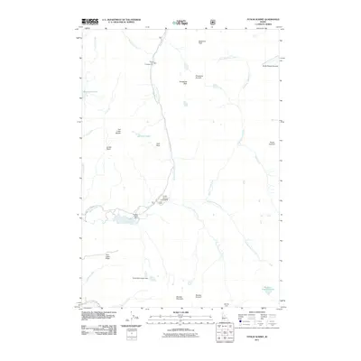 2011 Fitsum Summit2011 Print · USGSValley County’s high backcountry is detailed here in the early twenty-first century, showing the intersection of mountain trails and forest roads. Researchers can locate remote landmarks like Black Lee Campground, Slick Rock, and the waters of Crystal Lake and Boulder Lake.
 - 2011 Map of Landmark, 2011 Print
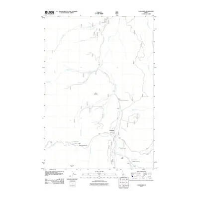 2011 Landmark2011 Print · USGSValley County’s high-country backcountry is documented here in the early twenty-first century, centered on the remote outpost of Landmark. Researchers can trace the drainages of Johnson Creek and locate historic recreation sites like Pen Basin Campground and the Landmark-US Forest Service Airport.
 - 2011 Map of Tyndall Meadows, 2011 Print
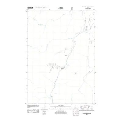 2011 Tyndall Meadows2011 Print · USGSIn the early twenty-first century, this high-mountain reach of Valley County remains defined by its rugged watersheds and forest road networks. Researchers can trace the path of the historic Landmark Stanley Rd past Whiskey Cabin and through the open expanse of Tyndall Meadows.
Showing maps 1-25 of 285
Top cities of Valley County
Frequently asked questions
- What are the different types of historical maps available for Valley County?
- What is the oldest map of Valley County?
- Where can I purchase historical maps of Valley County for my home or office?
- Where can I download high-res historical maps of Valley County?
- Are there historical topographic maps available for Valley County?
- Is there historical aerial imagery available for Valley County?
- Where are historical maps of Valley County sourced from?