2000s (21st Century) Maps of Cook County, Illinois
Explore 173 historic maps of Cook County from the 2000s (21st Century). These maps offer a rare glimpse into what life looked like during the 2000s — showing old roads, neighborhoods, homes, and landmarks that have changed or disappeared over time.
Whether you're researching your family's past, planning a metal detecting trip, or studying how Cook County's landscape evolved across the 2000s, these high-resolution maps are a powerful tool for exploring the history of this region.
- Focus on a specific era: All maps on this page are from the 2000s, giving you a focused view of this time period.
- See what’s changed: Compare century-old streets, trails, and buildings to today's modern landscape using overlays and satellite layers.
- Research with precision: Use these maps for genealogy, historical research, land use analysis, or educational projects.
- View, download, or print: Maps are fully viewable online in high resolution, and can be downloaded or printed for your own records.
Start exploring Cook County's history through authentic maps from the 2000s. This is your window into the past.
Cook County, IL maps
(173)- 2000 Map of Highland Park, 2001 Print
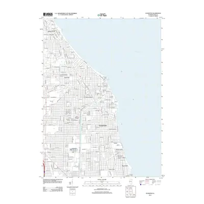
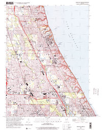 2000 Highland Park2001 Print · USGSThe Lake Michigan shoreline of Lake County and Cook County is captured here at the turn of the millennium. Researchers can trace the layout of Fort Sheridan, locate family plots in Sacred Heart Cem, and see the development around Lake Forest College.
 - 2010 Map of Calumet City, 2010 Print
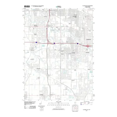 2010 Calumet City2010 Print · USGSCovers Cook County, including Hammond, Calumet City, and other nearby areas
 - 2010 Map of Dyer, 2010 Print
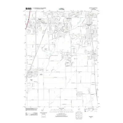
 2010 Dyer2010 Print · USGSCovers Cook County, including Chicago Heights, Sauk Village, and other nearby areas
 - 2012 Map of Palatine, 2012 Print
 2012 Palatine2012 Print · USGSCovers Cook County, including Schaumburg, Arlington Heights, and other nearby areas
 - 2012 Map of Elgin, 2012 Print
 2012 Elgin2012 Print · USGSCovers Cook County, including Elgin, Bartlett, and other nearby areas
 - 2012 Map of Barrington, 2012 Print
 2012 Barrington2012 Print · USGSCovers Cook County, including Carpentersville, Cary, and other nearby areas
 - 2012 Map of Streamwood, 2012 Print
 2012 Streamwood2012 Print · USGSCovers Cook County, including Elgin, Schaumburg, and other nearby areas
 - 2012 Map of Lake Zurich, 2012 Print
 2012 Lake Zurich2012 Print · USGSCovers Cook County, including Arlington Heights, Palatine, and other nearby areas
 - 2012 Map of Palos Park, 2012 Print
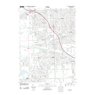 2012 Palos Park2012 Print · USGSCovers Cook County, including Oak Lawn, Orland Park, and other nearby areas
 - 2012 Map of Harvey, 2012 Print
 2012 Harvey2012 Print · USGSCovers Cook County, including Chicago Heights, Oak Forest, and other nearby areas
 - 2012 Map of Tinley Park, 2012 Print
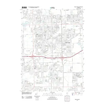 2012 Tinley Park2012 Print · USGSCovers Cook County, including Orland Park, Tinley Park, and other nearby areas
 - 2012 Map of River Forest, 2012 Print
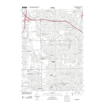 2012 River Forest2012 Print · USGSCovers Cook County, including Chicago, Des Plaines, and other nearby areas
 - 2012 Map of Hinsdale, 2012 Print
 2012 Hinsdale2012 Print · USGSCovers Cook County, including Downers Grove, Lombard, and other nearby areas
 - 2012 Map of Berwyn, 2012 Print
 2012 Berwyn2012 Print · USGSCovers Cook County, including Chicago, Cicero, and other nearby areas
 - 2012 Map of Blue Island, 2012 Print
 2012 Blue Island2012 Print · USGSCovers Cook County, including Chicago, Oak Lawn, and other nearby areas
 - 2012 Map of Mokena, 2012 Print
 2012 Mokena2012 Print · USGSCovers Cook County, including Joliet, Orland Park, and other nearby areas
 - 2012 Map of Sag Bridge, 2012 Print
 2012 Sag Bridge2012 Print · USGSCovers Cook County, including Orland Park, Downers Grove, and other nearby areas
 - 2012 Map of Lombard, 2012 Print
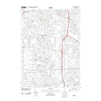 2012 Lombard2012 Print · USGSCovers Cook County, including Schaumburg, Wheaton, and other nearby areas
 - 2012 Map of Steger, 2012 Print
 2012 Steger2012 Print · USGSCovers Cook County, including Chicago Heights, Park Forest, and other nearby areas
 - 2012 Map of Frankfort, 2012 Print
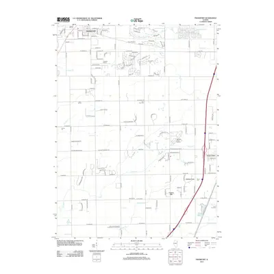 2012 Frankfort2012 Print · USGSCovers Cook County, including Frankfort, Matteson, and other nearby areas
 - 2012 Map of Romeoville, 2012 Print
 2012 Romeoville2012 Print · USGSCovers Cook County, including Naperville, Bolingbrook, and other nearby areas
 - 2012 Map of Park Ridge, 2012 Print
 2012 Park Ridge2012 Print · USGSCovers Cook County, including Chicago, Skokie, and other nearby areas
 - 2012 Map of Wheeling, 2012 Print
 2012 Wheeling2012 Print · USGSCovers Cook County, including Arlington Heights, Buffalo Grove, and other nearby areas
 - 2012 Map of Evanston, 2012 Print
 2012 Evanston2012 Print · USGSCovers Cook County, including Chicago, Evanston, and other nearby areas
 - 2012 Map of Highland Park OE E, 2012 Print
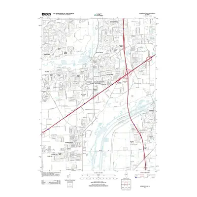
 2012 Highland Park OE E2012 Print · USGSCovers Cook County, including Winnetka, Glencoe, and other nearby areas
Showing maps 1-25 of 173
Top cities of Cook County
- Chicago historical maps
- Cicero historical maps
- Arlington Heights historical maps
- Evanston historical maps
- Des Plaines historical maps
- Berwyn historical maps
See more
Frequently asked questions
- What are the different types of historical maps available for Cook County?
- What is the oldest map of Cook County?
- Where can I purchase historical maps of Cook County for my home or office?
- Where can I download high-res historical maps of Cook County?
- Are there historical topographic maps available for Cook County?
- Is there historical aerial imagery available for Cook County?
- Where are historical maps of Cook County sourced from?