2020s Maps of Jackson County, Illinois
Explore 35 historic maps of Jackson County from the 2020s. These maps offer a rare glimpse into what life looked like during the 2020s — showing old roads, neighborhoods, homes, and landmarks that have changed or disappeared over time.
Whether you're researching your family's past, planning a metal detecting trip, or studying how Jackson County's landscape evolved across the 2020s, these high-resolution maps are a powerful tool for exploring the history of this region.
- Focus on a specific era: All maps on this page are from the 2020s, giving you a focused view of this time period.
- See what’s changed: Compare century-old streets, trails, and buildings to today's modern landscape using overlays and satellite layers.
- Research with precision: Use these maps for genealogy, historical research, land use analysis, or educational projects.
- View, download, or print: Maps are fully viewable online in high resolution, and can be downloaded or printed for your own records.
Start exploring Jackson County's history through authentic maps from the 2020s. This is your window into the past.
Jackson County, IL maps
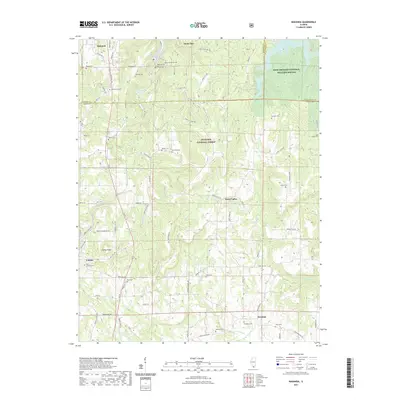
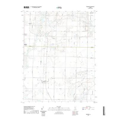
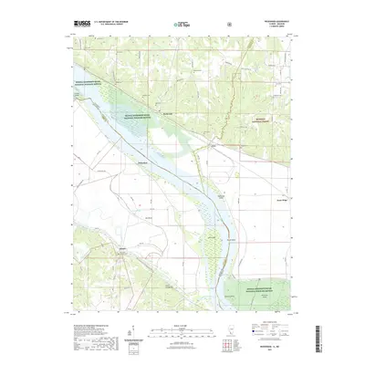
(35)- 2021 Map of Oraville, 2021 Print
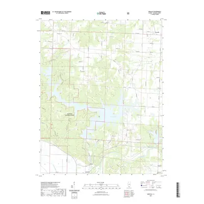 2021 Oraville2021 Print · USGSCovers Jackson County, including Grimsby, Oraville, and other nearby areas
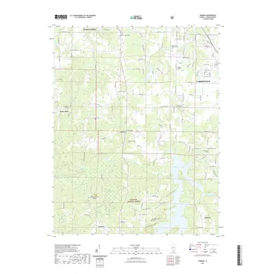
 - 2021 Map of Ava, 2021 Print
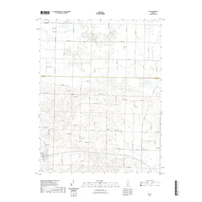 2021 Ava2021 Print · USGSCovers Jackson County, including Ava, Denmark, and other nearby areas
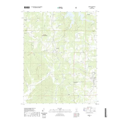
 - 2021 Map of De Soto, 2021 Print
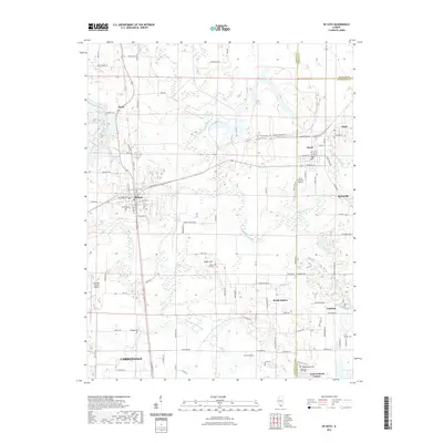 2021 De Soto2021 Print · USGSCovers Jackson County, including Carbondale, De Soto, and other nearby areas
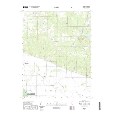
 - 2021 Map of Welge, 2021 Print
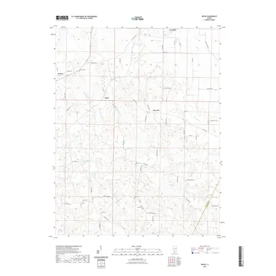 2021 Welge2021 Print · USGSCovers Jackson County, including Steeleville, Wine Hill, and other nearby areas
 - 2021 Map of Makanda, 2021 Print
 2021 Makanda2021 Print · USGSCovers Jackson County, including Cobden, Makanda, and other nearby areas
 - 2021 Map of Pomona, 2021 Print
 2021 Pomona2021 Print · USGSCovers Jackson County, including Carbondale, Murphysboro, and other nearby areas
 - 2021 Map of Cobden, 2021 Print
 2021 Cobden2021 Print · USGSCovers Jackson County, including Cobden, Makanda, and other nearby areas
 - 2021 Map of Carbondale, 2021 Print
 2021 Carbondale2021 Print · USGSCovers Jackson County, including Carbondale, Carterville, and other nearby areas
 - 2021 Map of Raddle, 2021 Print
 2021 Raddle2021 Print · USGSCovers Jackson County, including Raddle, Dry Hill, and other nearby areas
 - 2021 Map of Vergennes, 2021 Print
 2021 Vergennes2021 Print · USGSCovers Jackson County, including Du Quoin, Vergennes, and other nearby areas
 - 2021 Map of Gorham, 2021 Print
 2021 Gorham2021 Print · USGSCovers Jackson County, including Sand Ridge, Grand Tower, and other nearby areas
 - 2021 Map of Willisville, 2021 Print
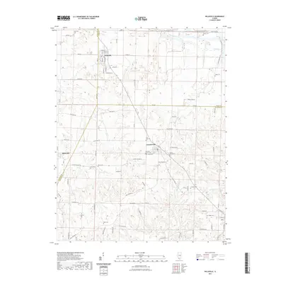 2021 Willisville2021 Print · USGSCovers Jackson County, including Willisville, Ava, and other nearby areas
 - 2021 Map of Murphysboro, 2021 Print
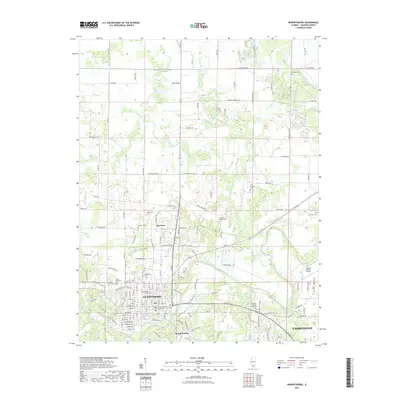 2021 Murphysboro2021 Print · USGSCovers Jackson County, including Carbondale, Murphysboro, and other nearby areas
 - 2021 Map of Rockwood, 2021 Print
 2021 Rockwood2021 Print · USGSCovers Jackson County, including Degognia, Rockwood, and other nearby areas
 - 2021 Map of Wolf Lake, 2021 Print
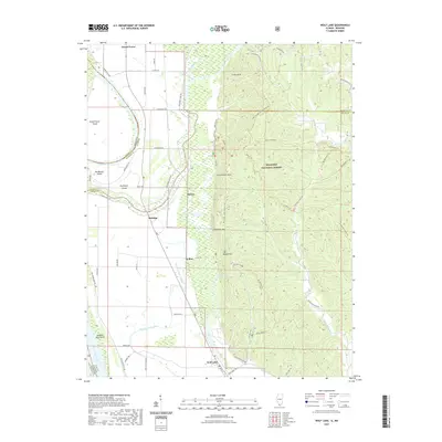 2021 Wolf Lake2021 Print · USGSCovers Jackson County, including Grand Tower, Wolf Lake, and other nearby areas
 - 2021 Map of Crosstown, 2021 Print
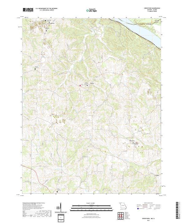 2021 Crosstown2021 Print · USGSPerry County and the Mississippi River bluffs are documented here during the early twenty-first century. Researchers can trace family history through numerous church sites and burial grounds like Salem Lutheran Church Cem in Farrar and Saint James Cem.
 - 2021 Map of Altenburg, 2021 Print
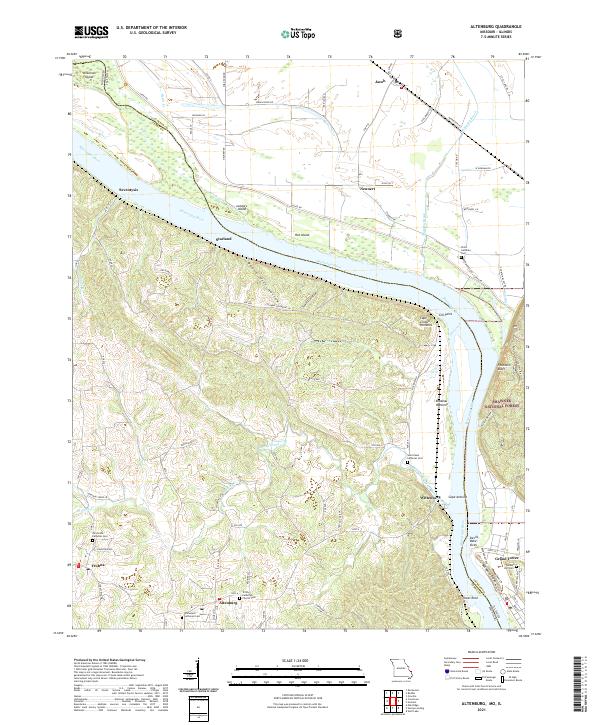 2021 Altenburg2021 Print · USGSThe Missouri-Illinois borderlands come alive in this recent survey of Perry and Jackson counties. Local historians can trace the legacy of German settlement through Altenburg and Frohna, or locate family sites at Trinity Church Cem and Tower Rock.
 - 2021 Map of Neelys Landing, 2021 Print
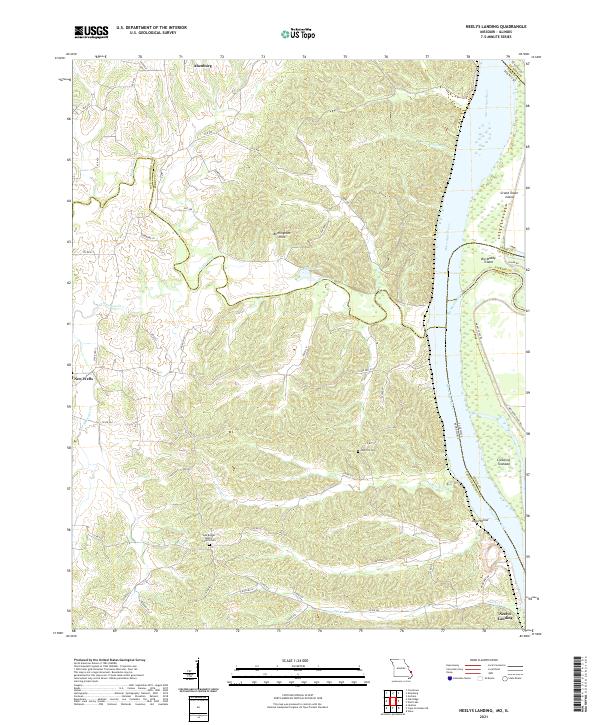 2021 Neelys Landing2021 Print · USGSThe Mississippi River border between Missouri and Illinois remains a land of river islands and rural bluffs in the early twenty-first century. Researchers can trace family roots at New Bethel Baptist Church Cem and the riverfront at Neelys Landing.
 - 2021 Map of Elkville, 2021 Print
 2021 Elkville2021 Print · USGSCovers Jackson County, including Du Quoin, Elkville, and other nearby areas
 - 2024 Map of Welge, 2024 Print
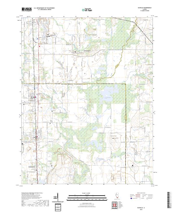
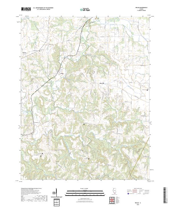 2024 Welge2024 Print · USGSThe rural landscapes of Randolph County are captured here in the early twenty-first century, featuring small crossroads communities and family farmsteads. Local historians can locate numerous burial sites like Paradise Cem, Mill Creek Cem, and Grah Cem along the winding banks of Marys River.
 - 2024 Map of Gorham, 2024 Print
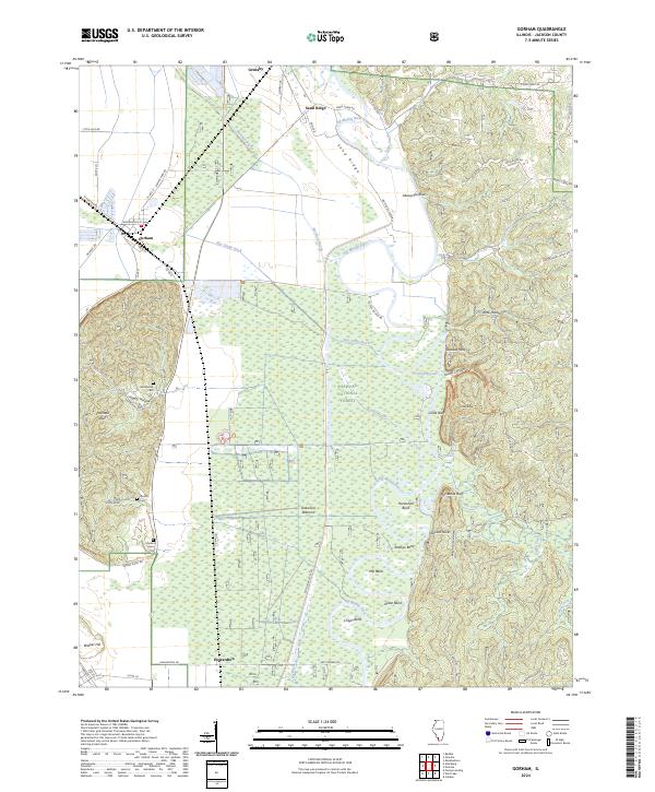 2024 Gorham2024 Print · USGSThis southwestern Illinois river landscape shows the intersection of the Mississippi floodplains and the high bluffs in the early twenty-first century. Genealogists and local historians can trace family sites like Goodbread Cem or explore the winding course of the Big Muddy River through Oakwood Bottoms.
 - 2024 Map of Murphysboro, 2024 Print
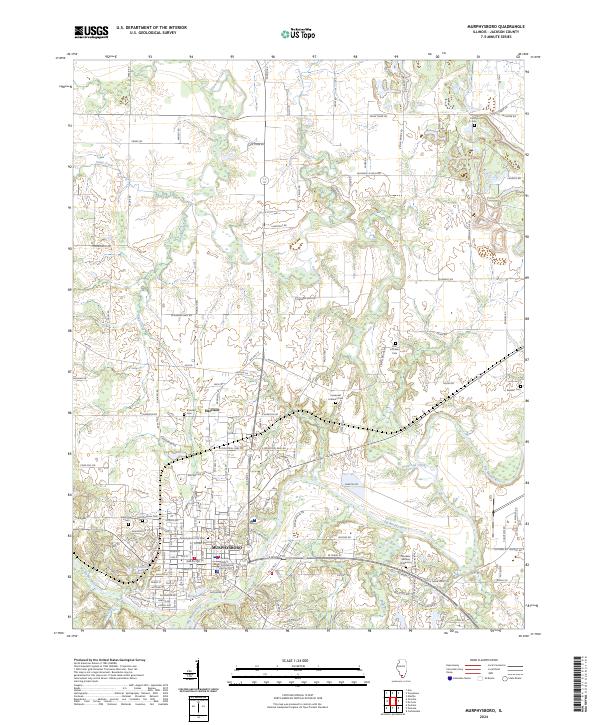 2024 Murphysboro2024 Print · USGSMurphysboro and the surrounding Jackson County bottomlands are captured here as they appear today, centered on the river-bend geography of the Big Muddy. Researchers can trace local lineage through a high density of cemeteries, including Murphysboro City Cem, Central Cem, and the rural Beasley Cem.
 - 2024 Map of Elkville, 2024 Print
 2024 Elkville2024 Print · USGSSouthern Illinois coal and farm country comes into focus here, showing the communities of Elkville and Old Du Quoin. Genealogists can trace family lines through numerous burial sites like Dutch Hill Cem and Hallidayboro Cem along the Little Muddy River.
 - 2024 Map of Oraville, 2024 Print
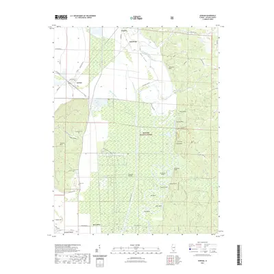
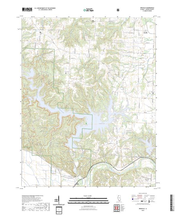 2024 Oraville2024 Print · USGSJackson County's hills and bottomlands are shown in modern detail as of 2024, centered on the expansive waters of Kinkaid Lake. Genealogists and local historians can trace rural family sites like Lone Oak Cem, the small settlement of Grimsby, and landmarks such as Rendleman Airport.
 - 2024 Map of Vergennes, 2024 Print
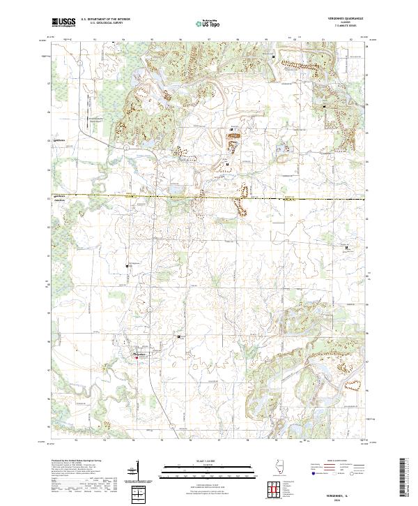 2024 Vergennes2024 Print · USGSSouthern Illinois agricultural and creek-bed landscapes are documented here in the contemporary era. Researchers can trace family history through numerous burial sites like Parrish Cem and Sutter Cem or explore the rail-adjacent settlement of Matthews Junction.
Showing maps 1-25 of 35
Top cities of Jackson County
- Carbondale historical maps
- Murphysboro historical maps
- De Soto historical maps
- Elkville historical maps
- Pomona historical maps
- Sand Ridge historical maps
See more
Frequently asked questions
- What are the different types of historical maps available for Jackson County?
- What is the oldest map of Jackson County?
- Where can I purchase historical maps of Jackson County for my home or office?
- Where can I download high-res historical maps of Jackson County?
- Are there historical topographic maps available for Jackson County?
- Is there historical aerial imagery available for Jackson County?
- Where are historical maps of Jackson County sourced from?