Old Maps of Farmersburg, Indiana for Academic Research
Study the evolution of Farmersburg with 36 high-resolution historic maps. Whether you're teaching, researching, or modeling changes in land use, these maps provide essential visual documentation of urban, environmental, and geographic change.
- Analyze long-term change: Track patterns in development, transportation, and natural features.
- Ideal for environmental or urban studies: Support academic projects with primary historical map data.
- Use in the classroom or lab: Educators and researchers rely on these maps to bring historical context to life.
These maps are a powerful tool for teaching, research, and visualizing how Farmersburg has changed over the decades.
Farmersburg, IN maps
(36)- 1940 Map of Lewis
 1940 Lewis1940 Print · USGSVigo and Sullivan counties are shown here just before the Second World War as coal mining and rail transport shaped the local economy. Researchers can trace family history through sites like Smith Cem or locate industrial landmarks like the Blackhawk Mine and Brown Jug Corner.
 - 1940 Map of Pimento
 1940 Pimento1940 Print · USGSVigo and Sullivan Counties are shown in the late 1930s, capturing the rural character of the Indiana prairie before modern development. Genealogists can trace family roots through numerous local landmarks, including Kester Cem, Farmers Chapel, and the settlement of Prairie Creek.2 unique versions available
 - 1942 Map of Shelburn
 1942 Shelburn1942 Print · USGSWestern Indiana coal and rail life are captured here in the early 1940s, as mining towns thrived along the corridor. Trace local family roots at Ebenezer Cem or explore the rail hubs of Shelburn and Curryville near the Linda Lou Mine.2 unique versions available
 - 1943 Map of Hymera
 1943 Hymera1943 Print · USGSSullivan County was a bustling coal corridor in the early 1940s, where heavy rail lines connected numerous active mining sites. Researchers can trace the lineage of small communities and family-named sites like Miner City, Nye Chapel, and the Jackson Hill Mine.2 unique versions available
 - 1952 Map of Lewis, 1953 Print
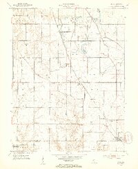 1952 Lewis1953 Print · USGSVigo and Sullivan counties during the early fifties reveal a landscape transitioning from the canal era to an intensive mining economy. Genealogists and local historians can trace family roots through numerous landmarks like Fletcher Chapel, Stephens Cem, and the settlement of Lewis.2 unique versions available
 - 1952 Map of Shelburn, 1953 Print
 1952 Shelburn1953 Print · USGSSullivan County’s coal and rail landscape is captured here in the early fifties, centered on the corridor between Farmersburg and Shelburn. Genealogists and historians can trace numerous rural landmarks, including Little Flock Cem, Douglas Chapel Ch, and the workings of a local Strip Mine.2 unique versions available
 - 1953 Map of Hymera
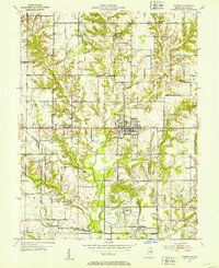 1953 Hymera1953 Print · USGSMid-century Indiana coal country is mapped here in detail, showing a landscape defined by industrial extraction and small rail-side settlements. Genealogists and researchers can trace local family roots through sites like Sugar Grove Ch, Salem Cem, and Jackson Hill.
 - 1953 Map of Indianapolis, 1965 Print
 1953 Indianapolis1965 Print · USGSCentral Indiana and the Illinois borderlands are captured in the mid-sixties, showing the growth of Indianapolis and its industrial rail corridors. Genealogists and historians can trace the development of outlying towns like Zionsville or Beech Grove and find landmarks such as Atterbury AAF and Turkey Run State Park.4 unique versions available
 - 1956 Map of Indianapolis
 1956 Indianapolis1956 Print · USGSCentral Indiana in the mid-fifties is captured during a period of industrial growth and military presence. Genealogists and historians can trace the rail networks of the New York Central or locate regional landmarks like Fort Benjamin Harrison and Camp Atterbury.
 - 1957 Map of Indianapolis
 1957 Indianapolis1957 Print · USGSCentral Indiana in the mid-fifties is captured here as a crossroads of major rail lines and nascent federal highways. Genealogists and historians can trace family-named ridges like Poplar Ridge or locate strategic sites like Camp Atterbury and Speedway.2 unique versions available
 - 1958 Map of Pimento, 1959 Print
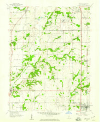 1958 Pimento1959 Print · USGSThe rural border of Vigo and Sullivan counties is captured here in the late fifties, defined by its small farming towns and institutional landmarks. Researchers can trace family roots at New Harmony Cem or follow the Chicago and Eastern Illinois rail line through Pimento and Farmersburg.3 unique versions available
 - 1962 Map of Indianapolis
 1962 Indianapolis1962 Print · USGSCentral Indiana and the Illinois borderlands are captured here in the early sixties, showing the region's dense rail networks and growing urban centers. Genealogists and historians can locate family-named landmarks and institutions like Crown Hill Cem, Indiana University, and the Indianapolis Motor Speedway.
 - 1963 Map of Shelburn, 1964 Print
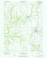 1963 Shelburn1964 Print · USGSSullivan County during the 1960s reveals a landscape of coal and oil production alongside established farming communities. Genealogists and historians can trace the foundations of Shelburn and Farmersburg, locating landmarks like West Lawn Cem and the Chicago and Eastern Illinois Railroad.4 unique versions available
 - 1963 Map of Lewis, 1965 Print
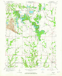 1963 Lewis1965 Print · USGSThe Vigo and Sullivan County line near Lewis shows a landscape defined by coal and transit in the mid-1960s. Genealogists and historians can trace the Wabash and Erie Canal route, old schools, and country churches like Fletcher Chapel and Union Ch.3 unique versions available
 - 1963 Map of Hymera, 1965 Print
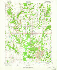 1963 Hymera1965 Print · USGSSullivan County during the 1960s shows a landscape of active extraction and established rural settlements like Hymera and Miner City. Researchers can trace the path of the CHICAGO MILWAUKEE ST PAUL AND PACIFIC RAILROAD or locate local landmarks like Oak Grove Ch and the Knights of Columbus Cem.3 unique versions available
 - 1986 Map of Terre Haute
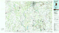 1986 Terre Haute1986 Print · USGSThe Wabash River valley and the coal-rich hills of West-Central Indiana and East-Central Illinois are shown here in the mid-eighties. Genealogists and local historians can trace family-named corners like Barrick Corner, find rural churches like New Hope Ch, and locate industrial landmarks such as the Thunderbird Mine.2 unique versions available
 - 2010 Map of Hymera, 2010 Print
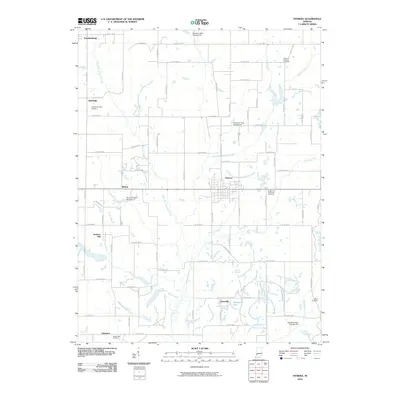 2010 Hymera2010 Print · USGSSullivan County’s coal and farming country is captured here during a period of modern water management and rural stability. Genealogists and local historians can trace family ties at Mount Pleasant Cemetery, the town of Hymera, and the settlement at Glendora.
 - 2010 Map of Lewis, 2010 Print
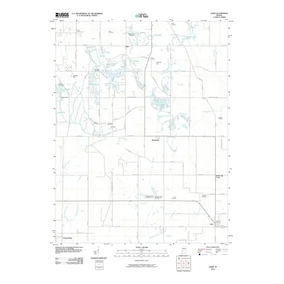 2010 Lewis2010 Print · USGSSullivan and Vigo Counties are shown here during the late 2000s, where small crossroad settlements and managed water bodies define the rural landscape. Genealogists can trace family roots at Smith Cemetery or Donham Cemetery, while exploring sites like Blackhawk and Brown Jug Corner.
 - 2010 Map of Shelburn, 2010 Print
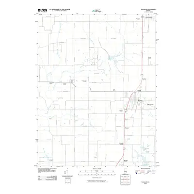 2010 Shelburn2010 Print · USGSSullivan County in the early twenty-first century maintains its rural character through a network of small settlements and expansive water features. Genealogists and local historians can trace family roots through numerous sites like Little Flock Cemetery, Scott City, and the banks of Turtle Creek Lake.
 - 2011 Map of Pimento, 2011 Print
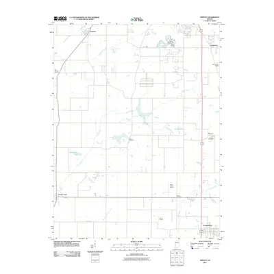 2011 Pimento2011 Print · USGSThe rural landscapes of Vigo County are captured here in the early 2010s, showcasing the small settlements and watercourses south of Terre Haute. Researchers can trace family history through sites like New Harmony Cemetery or locate landmarks such as the Pimento Post Office and Aero Plaines Airport.
 - 2013 Map of Shelburn, 2013 Print
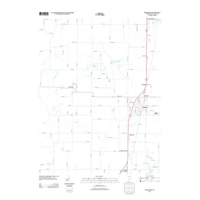 2013 Shelburn2013 Print · USGSShelburn and Farmersburg anchor this 2013 landscape in Sullivan County, reflecting a mix of small-town centers and rural water features. Researchers can trace local landmarks like Drake Airport, Turtle Creek Lake, and the community of Scott City.
 - 2013 Map of Pimento, 2013 Print
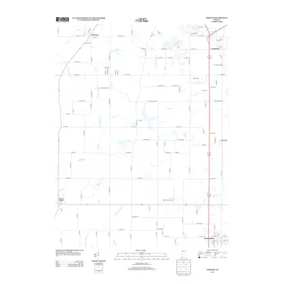 2013 Pimento2013 Print · USGSThe rural expanses of Vigo County are documented here in the early 2010s, showing a landscape of managed prairies and private airfields. Researchers can trace the development of Prairieton and Pimento or locate landmarks like Shure Airport and Wadsworth Lake.
 - 2013 Map of Lewis, 2013 Print
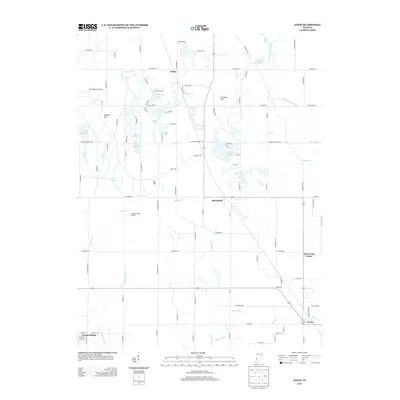 2013 Lewis2013 Print · USGSSullivan County and southern Vigo County are shown here in the early twenty-first century, where historic transport routes meet a modified industrial landscape. Researchers can trace the path of the Wabash and Erie Canal and locate the crossroads at Brown Jug Corner and Blackhawk.
 - 2013 Map of Hymera, 2013 Print
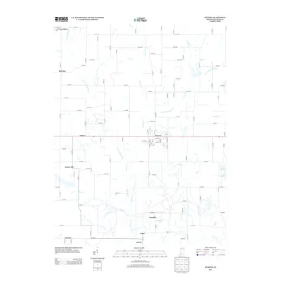 2013 Hymera2013 Print · USGSThe rural coal-country and farming landscape of Sullivan County comes into focus in this early 21st-century survey. Genealogists and local historians can trace the settlement patterns of Hymera and Jackson Hill or locate landmarks along Kettle Cr.
 - 2016 Map of Shelburn, 2016 Print
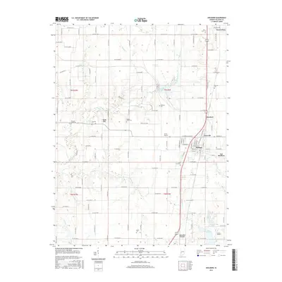 2016 Shelburn2016 Print · USGSSullivan County during the mid-2010s shows a landscape of established coal-country towns and numerous rural burial sites. Genealogists can trace family lines through West Lawn Cem and Little Flock Cem, while others locate old settlements like Scott City.
Showing maps 1-25 of 36
Top cities near Farmersburg
- Terre Haute historical maps
- Linton historical maps
- Sullivan historical maps
- Jasonville historical maps
- West Terre Haute historical maps
- Cass historical maps
See more
Frequently asked questions
- What are the different types of historical maps available for Farmersburg?
- What is the oldest map of Farmersburg?
- Where can I purchase historical maps of Farmersburg for my home or office?
- Where can I download high-res historical maps of Farmersburg?
- Are there historical topographic maps available for Farmersburg?
- Is there historical aerial imagery available for Farmersburg?
- Where are historical maps of Farmersburg sourced from?