2000s (21st Century) Maps of Atchison County, Kansas
Explore 80 historic maps of Atchison County from the 2000s (21st Century). These maps offer a rare glimpse into what life looked like during the 2000s — showing old roads, neighborhoods, homes, and landmarks that have changed or disappeared over time.
Whether you're researching your family's past, planning a metal detecting trip, or studying how Atchison County's landscape evolved across the 2000s, these high-resolution maps are a powerful tool for exploring the history of this region.
- Focus on a specific era: All maps on this page are from the 2000s, giving you a focused view of this time period.
- See what’s changed: Compare century-old streets, trails, and buildings to today's modern landscape using overlays and satellite layers.
- Research with precision: Use these maps for genealogy, historical research, land use analysis, or educational projects.
- View, download, or print: Maps are fully viewable online in high resolution, and can be downloaded or printed for your own records.
Start exploring Atchison County's history through authentic maps from the 2000s. This is your window into the past.
Atchison County, KS maps
(80)- 2009 Map of Nortonville, 2009 Print
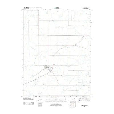 2009 Nortonville2009 Print · USGSKansas farm life in the early 2000s is centered on the Jefferson County town of Nortonville. Local historians and genealogists can trace property access and local landmarks such as Saint Josephs Cemetery and the many drainage branches including Hulls Branch.
 - 2009 Map of Atchison East, 2009 Print
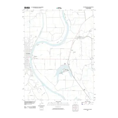 2009 Atchison East2009 Print · USGSThe riverfront around Atchison and Winthrop is captured here during the first decade of the 2000s, showing a landscape defined by the loops of the Missouri. Family historians can trace local sites like Hudseph Cemetery or the uniquely named Dead Mans Hole Dam.
 - 2009 Map of Oak Mills, 2009 Print
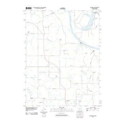 2009 Oak Mills2009 Print · USGSThe Missouri River borderlands near Leavenworth County are captured here in the early twenty-first century, showing a landscape defined by river bends and rural crossroads. Local historians can trace family roots through numerous sites like Round Prairie Cemetery, Oak Mills, and the small Bean Lake Airport.
 - 2009 Map of Effingham, 2009 Print
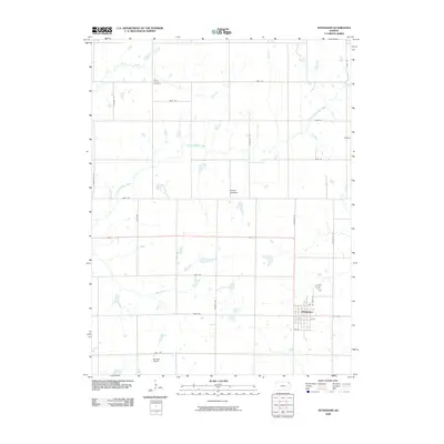 2009 Effingham2009 Print · USGSEffingham and the surrounding Atchison County prairie are captured here in the early twenty-first century. Genealogists and local historians can locate Brush Creek Cemetery, the small community of Helena, and aviation landmarks like Strafuss Airport.
 - 2009 Map of Lancaster, 2009 Print
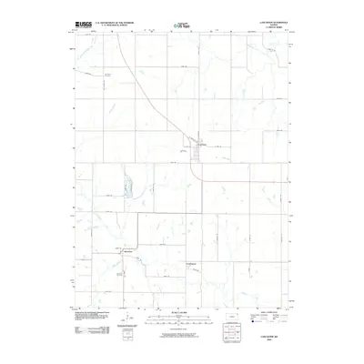 2009 Lancaster2009 Print · USGSAtchison County at the end of the first decade of the 2000s shows a landscape of steady agricultural roots and small-town hubs. Researchers can trace family sites near Old Huron Cemetery, the community of Monrovia, and the headwaters of Stranger Creek.
 - 2009 Map of Potter, 2009 Print
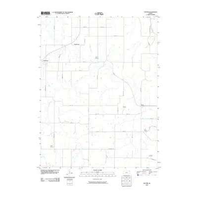 2009 Potter2009 Print · USGSAtchison County's rural landscape is captured here in the early twenty-first century, centered on the historic settlements of Potter and Cummings. Researchers can trace old family sites and burial grounds like Round Mound Cemetery, Fairview Cemetery, and Saint Johns Cemetery.
 - 2009 Map of Arrington, 2009 Print
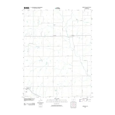 2009 Arrington2009 Print · USGSArrington and Larkinburg sit at the confluence of several prairie waterways during the early twenty-first century. Researchers can trace family history at Miller Cemetery or Larkinburg Cemetery while following the path of the Delaware River.
 - 2009 Map of Atchison NE, 2009 Print
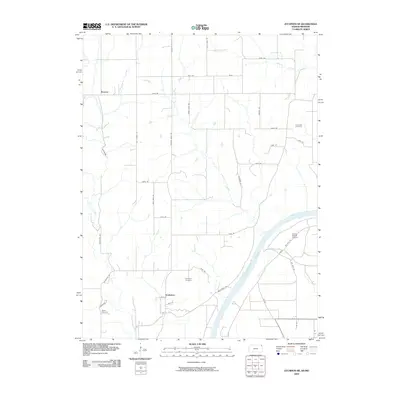 2009 Atchison NE2009 Print · USGSDoniphan County at the turn of the 21st century remains a landscape of high prairie ridges and deep river valleys. Researchers can trace rural lineages through the Doniphan and Rosendale cemeteries or locate landmarks like Brenner and Booze Island Airport.
 - 2009 Map of Everest, 2009 Print
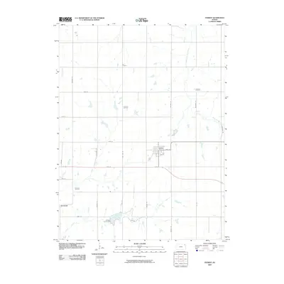 2009 Everest2009 Print · USGSEverest and the surrounding Kansas countryside are shown at the end of the first decade of the 2000s, where rural life revolves around traditional townships. Researchers can find numerous family and community sites including Carr Cemetery, All Saints Cemetery, and Kennekuk Cemetery.
 - 2009 Map of Whiting, 2009 Print
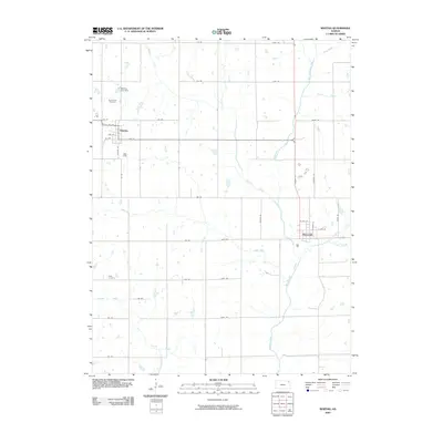 2009 Whiting2009 Print · USGSJackson County agricultural life is documented here in the early twenty-first century, showing the established townsites and rural road networks. Researchers can locate family sites near Spring Hill Cemetery or trace the winding course of the Delaware River and Grasshopper Creek.
 - 2009 Map of Denton, 2009 Print
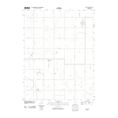 2009 Denton2009 Print · USGSDoniphan County at the end of the 2000s shows a landscape of established farming communities and quiet creek valleys. Local history researchers can trace old family footprints at Saint Marys Cemetery or follow the paths of Squaw Creek and the South Fork Wolf River.
 - 2009 Map of Weston, 2009 Print
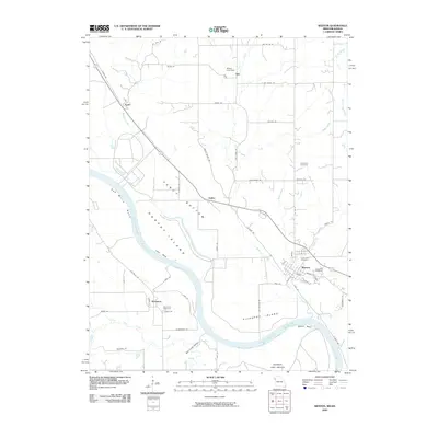 2009 Weston2009 Print · USGSThe Missouri-Kansas border comes alive in this 2000s survey of the Missouri River's shifting bends and bottomlands. Genealogists and local historians can trace family plots at Graceland Cemetery or explore the riverfront near Weston and Kickapoo.
 - 2009 Map of Atchison West, 2009 Print
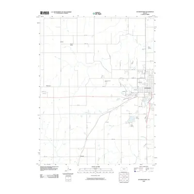 2009 Atchison West2009 Print · USGSAtchison and its western outskirts are captured here during the first decade of the millennium. Researchers can trace family history at Oak Hill Cemetery or locate smaller rural points like Good Intent and the Amelia Earhart Airport.
 - 2009 Map of Half Mound, 2009 Print
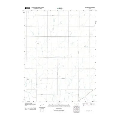 2009 Half Mound2009 Print · USGSNortheastern Kansas farmland is mapped here in the early twenty-first century as it appeared before further modern development. Genealogists and local historians can trace family ties at Earnst Cemetery and Neill Cemetery or follow the banks of the Delaware River.
 - 2009 Map of Bendena, 2009 Print
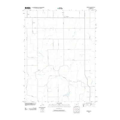 2009 Bendena2009 Print · USGSShannon Township and the community of Bendena are captured in the early twenty-first century as a landscape of grid-line farms and winding prairie creeks. Genealogists can locate specific burial sites like Victory Cemetery or Robertson Cemetery and trace family-named routes such as St Benedicts Rd.
 - 2009 Map of Horton, 2009 Print
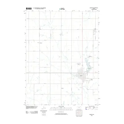 2009 Horton2009 Print · USGSHorton and the surrounding Brown County prairies are documented here during the early twenty-first century. Genealogists and local historians can trace family roots at Saint Peters Cemetery or Wheatland Cemetery and explore the area around Mission Lake and Willis.
 - 2012 Map of Weston, 2012 Print
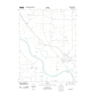 2012 Weston2012 Print · USGSThe Missouri River borderlands near Weston and Kickapoo are documented here in the early twenty-first century. Genealogists and historians can trace family locations through Hawkins Cemetery, Memorial Cemetery, and small settlements like Fancy Bottom.
 - 2012 Map of Potter, 2012 Print
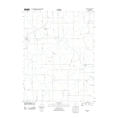 2012 Potter2012 Print · USGSAtchison County's rural landscape is captured here in the early twenty-first century, showing a network of agricultural roads and small settlements. Genealogists can locate several family and community burial sites, including Round Mound Cem, Springhill Cem, and Fairview Cem.
 - 2012 Map of Lancaster, 2012 Print
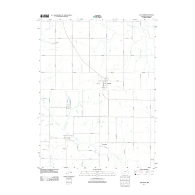 2012 Lancaster2012 Print · USGSAtchison County in the early 2010s reveals a stable landscape of Kansas farmsteads and rural crossroads. Genealogists and local researchers can locate several burial sites including Old Huron Cem and Lancaster Cem, or trace the winding course of Stranger Cr.
 - 2012 Map of Bendena, 2012 Print
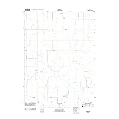 2012 Bendena2012 Print · USGSThe rural landscape of Northeast Kansas is captured here just over a decade ago, showcasing the enduring settlement patterns of Doniphan County. Researchers can pinpoint historic burial sites such as Vickery Family Cem and Bitner Cem, or trace the winding course of Cold Ryan Br.
 - 2012 Map of Effingham, 2012 Print
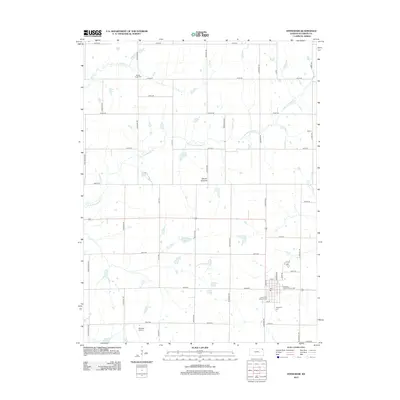 2012 Effingham2012 Print · USGSEffingham and the surrounding Atchison County countryside appear in this survey as a classic Kansas agricultural landscape at the start of the 2010s. Genealogists and local historians can trace family locations near Saint Anns Catholic Cem, Brush Creek Cem, or the Atchison County Fairgrounds.
 - 2012 Map of Everest, 2012 Print
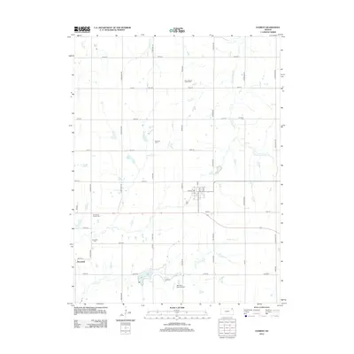 2012 Everest2012 Print · USGSNortheast Kansas remains a landscape of deep family roots and quiet prairie drainages in this modern survey. Genealogists and local historians can trace legacy sites like Kennekuk and Zion Lutheran Church Cem alongside Clear Creek Lake.
 - 2012 Map of Horton, 2012 Print
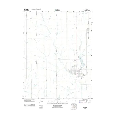 2012 Horton2012 Print · USGSHorton and the surrounding Brown County prairie are captured here in the early twenty-first century as a landscape of grid-patterned farms and small-town centers. Researchers can trace family history through several local burial grounds like Saint Peters Cem or explore landmarks such as Mission Lake and Mercier.
 - 2012 Map of Atchison East, 2012 Print
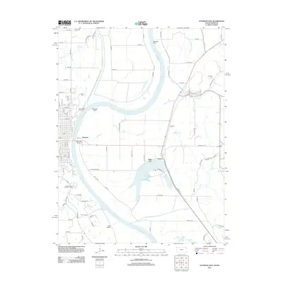 2012 Atchison East2012 Print · USGSThe Missouri-Kansas borderlands come alive in this 2010s survey, showing the intricate oxbows and bottomlands of the Missouri River valley. Researchers can pinpoint historic family plots like Armstrong Cem and Gore Cem or trace the early settlement footprints of Winthrop and Armour.
 - 2012 Map of Nortonville, 2012 Print
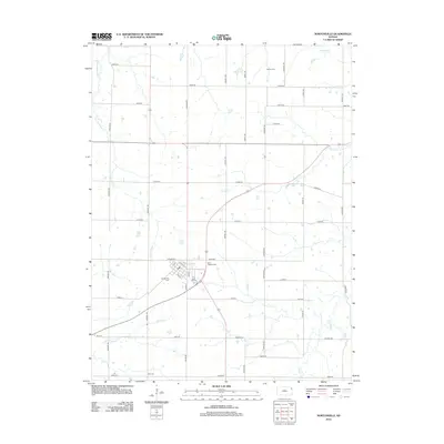 2012 Nortonville2012 Print · USGSNortheast Kansas farmland surrounds Nortonville in the early 2010s, revealing a landscape defined by its rural cemeteries and winding creek beds. Genealogists can locate family sites at Saint Josephs Cem, Pardee Cem, or Hart Cem while tracing the waters of Little Stranger Cr.
Showing maps 1-25 of 80
Top cities of Atchison County
- Atchison historical maps
- Effingham historical maps
- Lancaster historical maps
- Muscotah historical maps
- Huron historical maps
Frequently asked questions
- What are the different types of historical maps available for Atchison County?
- What is the oldest map of Atchison County?
- Where can I purchase historical maps of Atchison County for my home or office?
- Where can I download high-res historical maps of Atchison County?
- Are there historical topographic maps available for Atchison County?
- Is there historical aerial imagery available for Atchison County?
- Where are historical maps of Atchison County sourced from?