2020s Maps of Phillips County, Kansas
Explore 30 historic maps of Phillips County from the 2020s. These maps offer a rare glimpse into what life looked like during the 2020s — showing old roads, neighborhoods, homes, and landmarks that have changed or disappeared over time.
Whether you're researching your family's past, planning a metal detecting trip, or studying how Phillips County's landscape evolved across the 2020s, these high-resolution maps are a powerful tool for exploring the history of this region.
- Focus on a specific era: All maps on this page are from the 2020s, giving you a focused view of this time period.
- See what’s changed: Compare century-old streets, trails, and buildings to today's modern landscape using overlays and satellite layers.
- Research with precision: Use these maps for genealogy, historical research, land use analysis, or educational projects.
- View, download, or print: Maps are fully viewable online in high resolution, and can be downloaded or printed for your own records.
Start exploring Phillips County's history through authentic maps from the 2020s. This is your window into the past.
Phillips County, KS maps
(30)- 2021 Map of Alma, 2021 Print
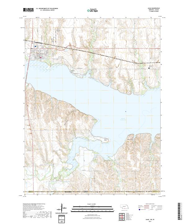 2021 Alma2021 Print · USGSThis Harlan County landscape shows the interface of civic life and the Republican River's vast reservoir. You can trace the streets of Alma, locate the Harlan County Courthouse, or find the Republican City Cem near the northern shore.
 - 2021 Map of Precept, 2021 Print
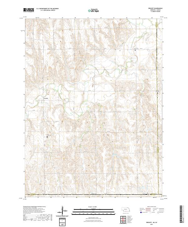 2021 Precept2021 Print · USGSThe Nebraska-Kansas borderlands come into focus in the early 2020s, showing a landscape of high-plains agriculture and scattered rural history. Genealogists can trace the locations of Precept, the Maple Creek Cem, and the Pleasant Hill Cem.
 - 2021 Map of Alma SW, 2021 Print
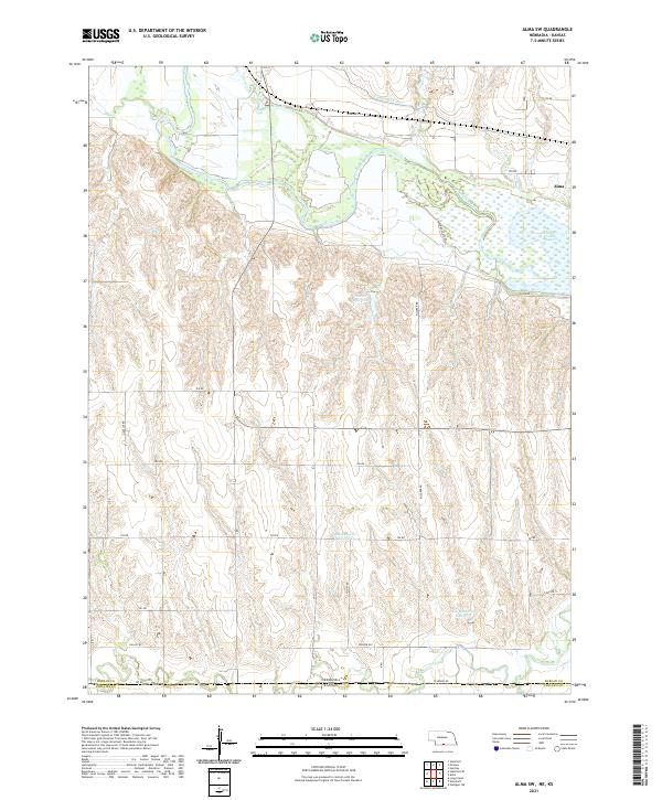 2021 Alma SW2021 Print · USGSThe Nebraska-Kansas borderlands come into focus in the early 2020s, centered on the vital water systems of the Republican River valley. Genealogists and land researchers can trace property boundaries along the state line or locate rural landmarks like Hecker Reservoir and Harlan County Lake.
 - 2021 Map of Bloomington, 2021 Print
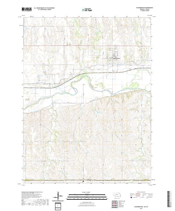 2021 Bloomington2021 Print · USGSFranklin County's irrigation and river landscape are captured in the early 2020s, showing the town of Bloomington and its surrounding agricultural tracts. Trace water management through the Franklin Canal and locate family history at Mount Olive Cem.
 - 2021 Map of Republican City, 2021 Print
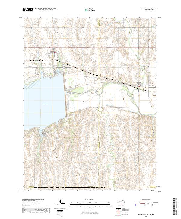 2021 Republican City2021 Print · USGSRepublican City and the surrounding reservoir country are documented here in the early twenty-first century. Genealogists and local researchers can trace the shorelines of Harlan County Lake and the street layouts of Republican City and Naponee.
 - 2021 Map of Stamford SE, 2021 Print
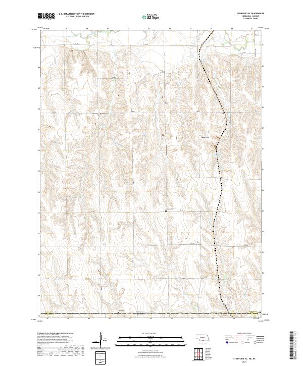 2021 Stamford SE2021 Print · USGSThe Nebraska-Kansas borderlands come into focus in this recent survey of the prairie hills. Local history researchers can trace family plots at Lutheran Cem and Home Cem or locate regional landmarks like Sappa Peak and Lubeck Reservoir.
 - 2022 Map of Logan SW, 2022 Print
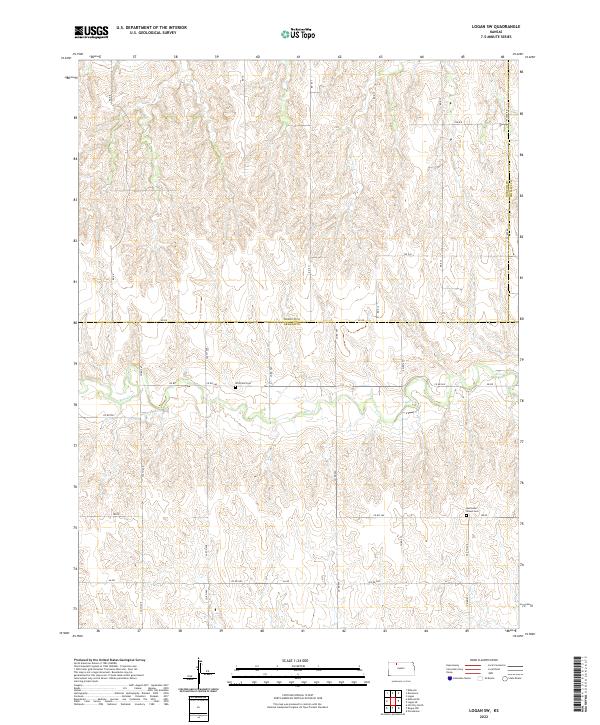 2022 Logan SW2022 Print · USGSThe rural borderlands of Norton and Graham counties come into focus in this recent survey of the Kansas High Plains. Researchers can trace the winding path of Bow Cr and locate historic burial sites like Whitfield Cem and Buchanan Brown Cem.
 - 2022 Map of Speed, 2022 Print
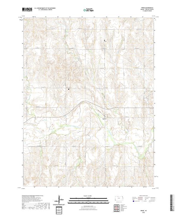 2022 Speed2022 Print · USGSThe N Fork Solomon River valley in Phillips County remains a classic agrarian landscape in the early twenty-first century. Researchers can trace the rural layout around Speed and locate family landmarks such as Belmont Cem and Wolf Cr.
 - 2022 Map of Stuttgart NE, 2022 Print
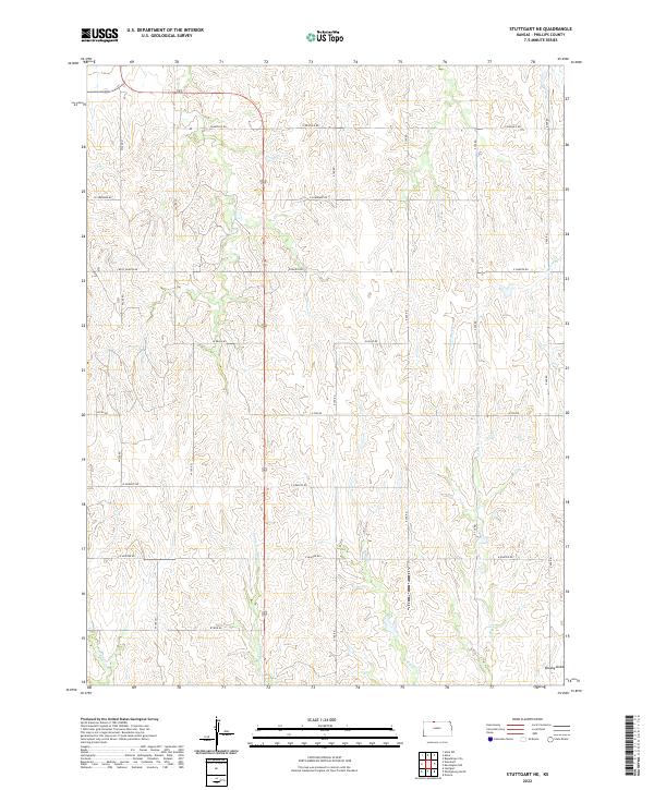 2022 Stuttgart NE2022 Print · USGSPhillips County in the early twenty-first century remains defined by its rhythmic section-line roads and seasonal creek valleys. Researchers can trace the intersections of named rural routes like W Buffalo Rd and W Iron Rd across the headwaters of Spring Cr.
 - 2022 Map of Phillipsburg South, 2022 Print
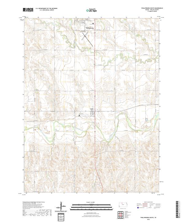 2022 Phillipsburg South2022 Print · USGSPhillips County is captured here in the early 2020s, showcasing the agricultural heartland between the city of Phillipsburg and the N Fork Solomon River. Genealogists and local historians can locate Marvin Cem, the small community of Glade, and a dense network of rural section roads.
 - 2022 Map of Kirwin SW, 2022 Print
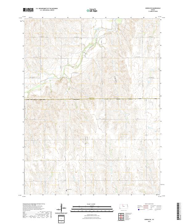 2022 Kirwin SW2022 Print · USGSNorth-central Kansas prairie life and the borders of Phillips and Rooks counties are detailed in this recent topographic study. Genealogists can locate West Hope Cem while researchers trace the seasonal flow of Jim Cr, Hungry Hollow, and Medicine Cr.
 - 2022 Map of Phillipsburg North, 2022 Print
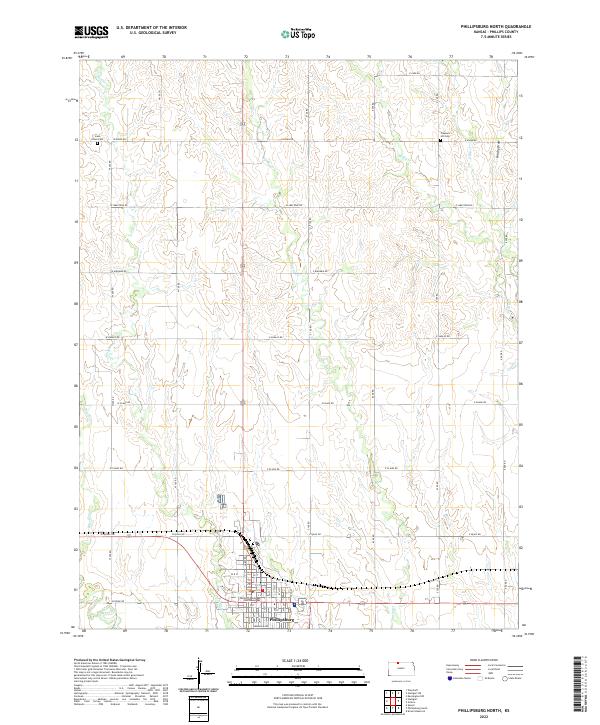 2022 Phillipsburg North2022 Print · USGSNorth of the county seat in the early twenty-first century, this area of Kansas shows the intersection of deep-rooted agriculture and prairie hydrology. Researchers can locate family sites near Iowa Union Cem, Pleasant Hill Cem, and the Phillips County Courthouse.
 - 2022 Map of Kensington, 2022 Print
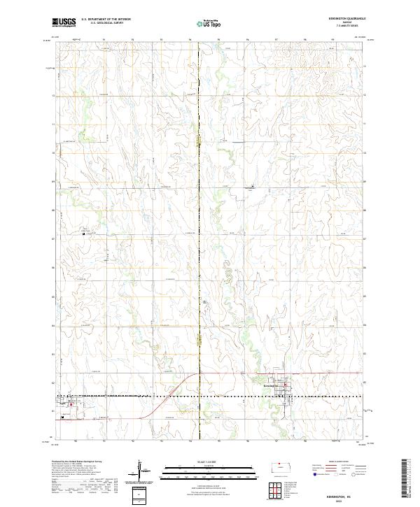 2022 Kensington2022 Print · USGSThe agricultural plains of the Phillips and Smith county border are captured here in the early twenty-first century. Genealogists and local historians can locate rural burial sites like Germantown Cem and West Cedar Cem, while tracing the local street plans of Kensington and Agra.
 - 2022 Map of Kensington NW, 2022 Print
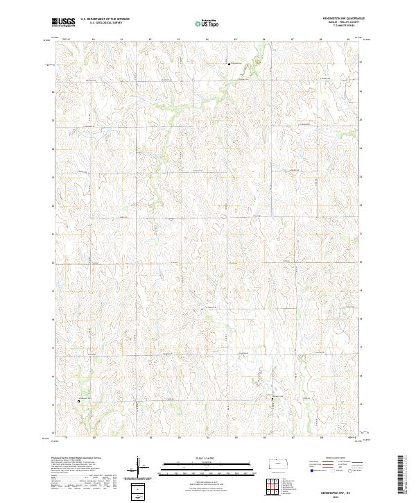 2022 Kensington NW2022 Print · USGSNorthwestern Phillips County maintains its rural character in this 2022 survey of the Kansas plains. Genealogists and historians can locate family plots at Chapman Cem, Greenwood Cem, and Matteson Cem along the creek-carved landscape.
 - 2022 Map of Stuttgart, 2022 Print
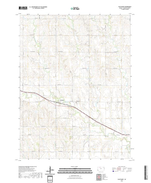 2022 Stuttgart2022 Print · USGSStuttgart and the surrounding Phillips County plains are captured here in the early 2020s, showing a landscape defined by agriculture and drainage. Researchers can trace family ties at the Emmanuel Lutheran Cem and map the rural road network between Deer Cr and Starvation Cr.
 - 2022 Map of Glade SE, 2022 Print
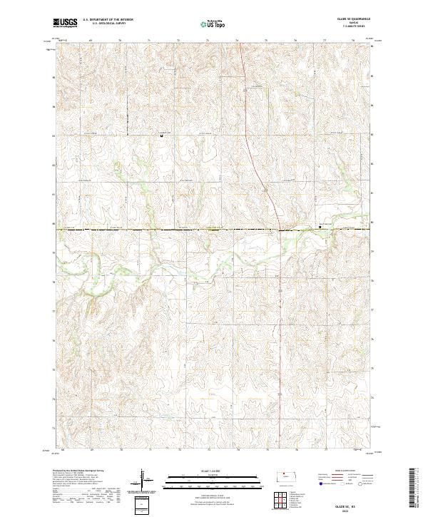 2022 Glade SE2022 Print · USGSThe rural border of Phillips and Rooks counties comes into focus in this recent survey of the Kansas plains. Genealogists and researchers can trace the winding course of Bow Creek as it flows through the heart of the township grid.
 - 2022 Map of Glade SW, 2022 Print
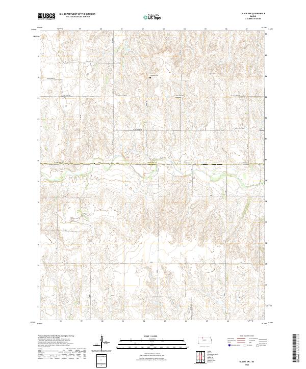 2022 Glade SW2022 Print · USGSThe Phillips and Rooks County border comes into focus here during the early 2020s, centered on the drainage of Bow Cr. Researchers can locate Plainview Cem and trace the modern rural road network including W Day Dream Rd and W Big Bear Rd.
 - 2022 Map of Kensington NE, 2022 Print
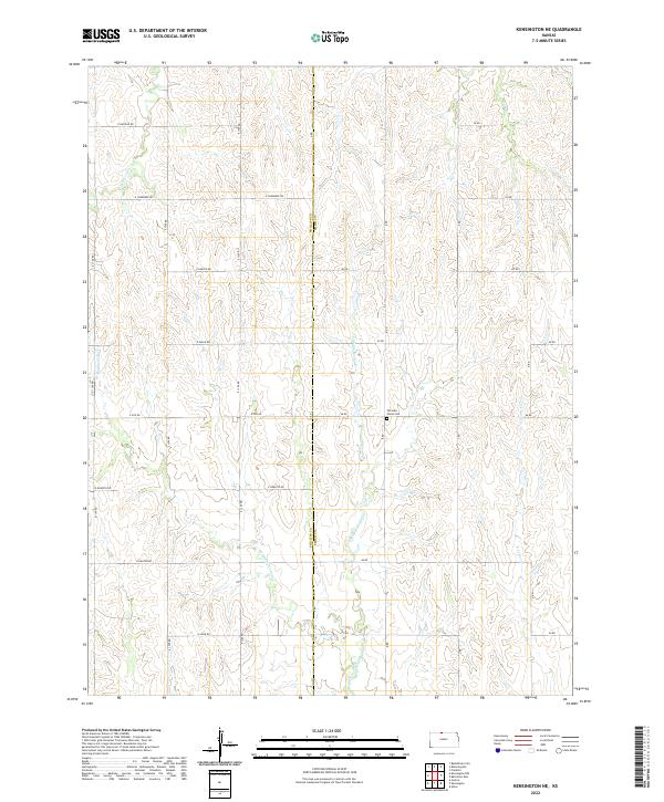 2022 Kensington NE2022 Print · USGSThe Smith and Phillips county line in northern Kansas comes alive on this survey of rural agricultural land and rolling creek valleys. Genealogists and historians can locate Fairview Stone Cem or trace the winding paths of E Middle Cedar Cr and Rebecca Cr.
 - 2022 Map of Densmore, 2022 Print
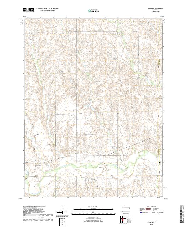 2022 Densmore2022 Print · USGSNorton County and the Solomon River valley appear in this recent survey of the Kansas plains. Researchers can trace the layout of Densmore and locate local family history at Mount Calvary Cem, Densmore Cem, and West Union Cem.
 - 2022 Map of Woodruff, 2022 Print
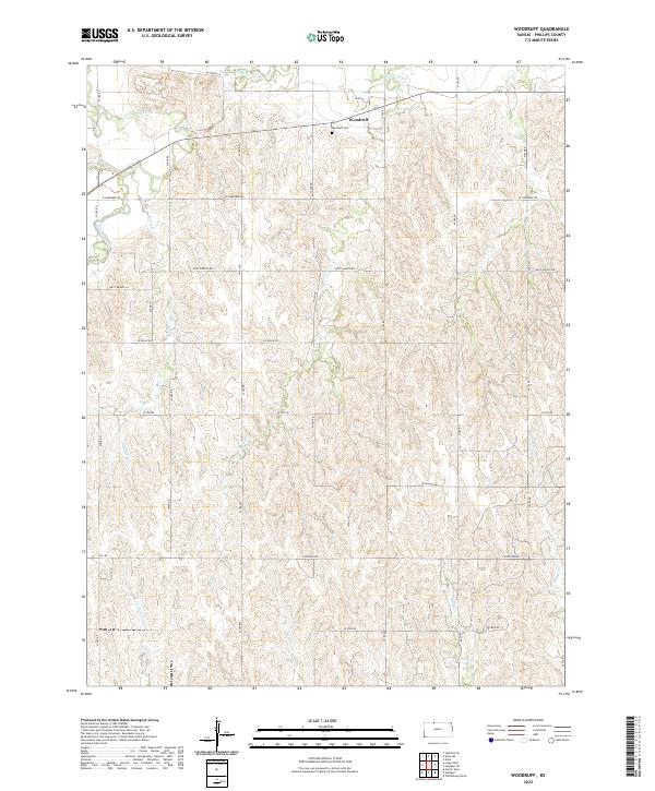 2022 Woodruff2022 Print · USGSPhillips County agriculture meets the Nebraska border in this twenty-first-century survey of the Kansas plains. Genealogists and local historians can trace the roads around Woodruff and Woodruff Cem or follow the paths of Prairie Dog Cr and Starvation Cr.
 - 2022 Map of Kirwin, 2022 Print
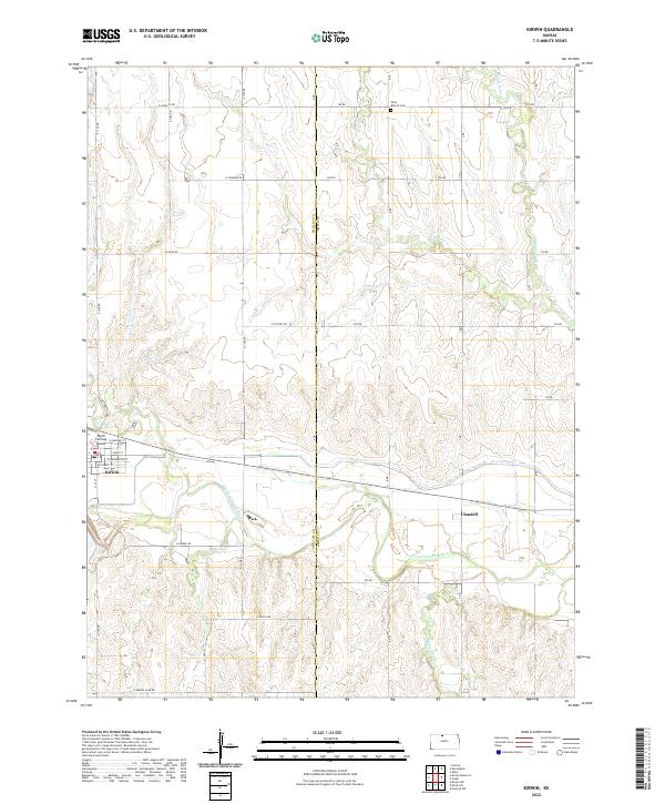 2022 Kirwin2022 Print · USGSPhillips and Smith Counties are captured here in the early twenty-first century, showing the rural landscape surrounding the N Fork Solomon River. Researchers can trace local history through the streets of Kirwin, the riverside settlement of Claudell, and the Olive Branch Cem.
 - 2022 Map of Logan SE, 2022 Print
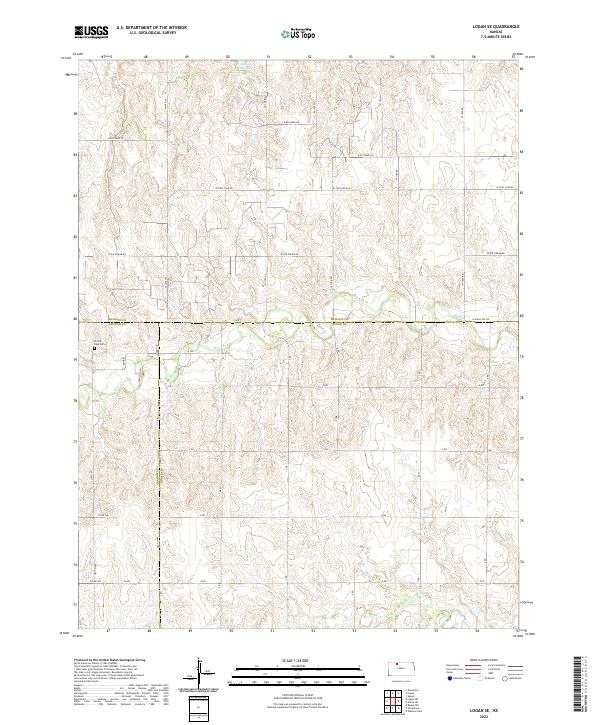 2022 Logan SE2022 Print · USGSPhillips and Graham counties are captured in this recent survey of rural Kansas, where the intersection of three counties meets the plains. Trace family ties at Prairie Dale Cemetery or follow the waters of Logan City Lake and Bow Creek.
 - 2022 Map of Prairie View, 2022 Print
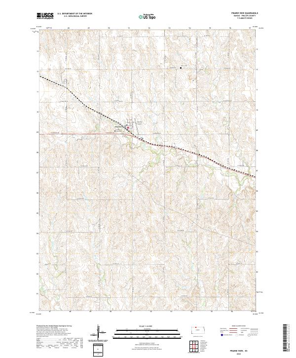 2022 Prairie View2022 Print · USGSPrairie View and the surrounding Phillips County plains are captured here in the early twenty-first century, showing the persistent grid of a classic Kansas agricultural landscape. Researchers can trace local heritage through sites like Luctor Cem, Prairie View Cem, and the headwaters of Beaver Cr.
 - 2022 Map of Almena, 2022 Print
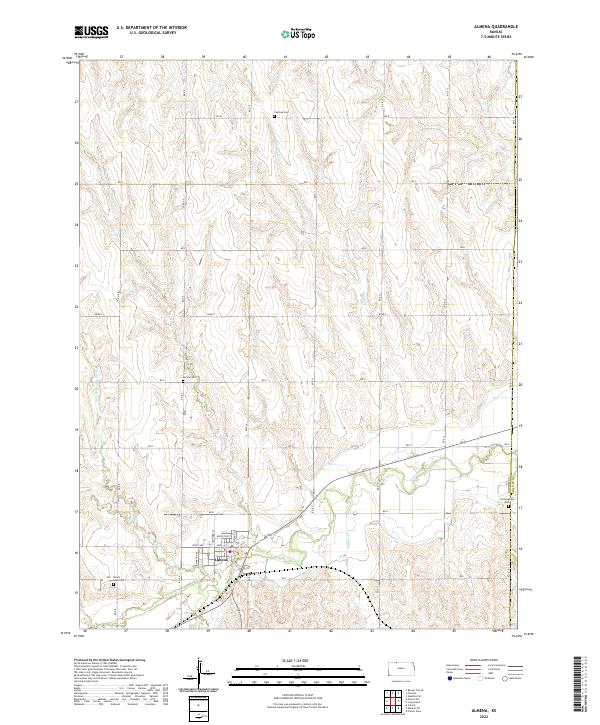 2022 Almena2022 Print · USGSAlmena and the surrounding agricultural townships of Norton County are documented here in the early twenty-first century. Researchers can trace land divisions and family history through local landmarks like Fairview Cem, Carlson Cem, and the streets of Almena.
 - 2022 Map of Almena SW, 2022 Print
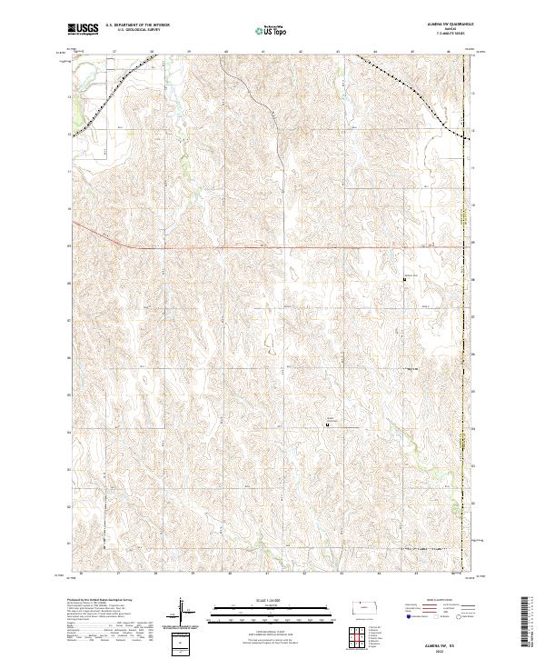 2022 Almena SW2022 Print · USGSNorthwest Kansas at the start of the 2020s shows a landscape deeply defined by its drainage basins and sectional road grid. Genealogists and local historians can locate remote landmarks like Zellmer Cemetery, Mount Olive Cemetery, and the banks of Buffalo Creek.
Showing maps 1-25 of 30
Top cities of Phillips County
- Phillipsburg historical maps
- Logan historical maps
- Agra historical maps
- Kirwin historical maps
- Long Island historical maps
- Prairie View historical maps
See more
Frequently asked questions
- What are the different types of historical maps available for Phillips County?
- What is the oldest map of Phillips County?
- Where can I purchase historical maps of Phillips County for my home or office?
- Where can I download high-res historical maps of Phillips County?
- Are there historical topographic maps available for Phillips County?
- Is there historical aerial imagery available for Phillips County?
- Where are historical maps of Phillips County sourced from?