2010s Maps of Phillips County, Kansas
Explore 92 historic maps of Phillips County from the 2010s. These maps offer a rare glimpse into what life looked like during the 2010s — showing old roads, neighborhoods, homes, and landmarks that have changed or disappeared over time.
Whether you're researching your family's past, planning a metal detecting trip, or studying how Phillips County's landscape evolved across the 2010s, these high-resolution maps are a powerful tool for exploring the history of this region.
- Focus on a specific era: All maps on this page are from the 2010s, giving you a focused view of this time period.
- See what’s changed: Compare century-old streets, trails, and buildings to today's modern landscape using overlays and satellite layers.
- Research with precision: Use these maps for genealogy, historical research, land use analysis, or educational projects.
- View, download, or print: Maps are fully viewable online in high resolution, and can be downloaded or printed for your own records.
Start exploring Phillips County's history through authentic maps from the 2010s. This is your window into the past.
Phillips County, KS maps
(92)- 2010 Map of Kirwin SW, 2010 Print
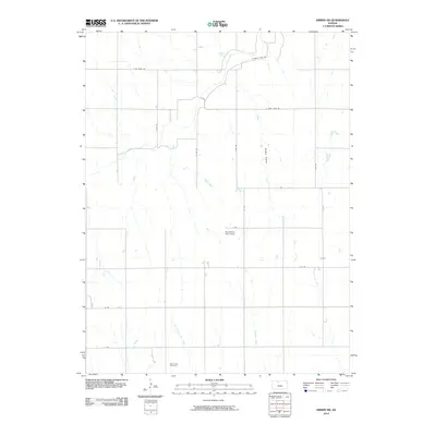 2010 Kirwin SW2010 Print · USGSPhillips County in the early twenty-first century maintains its quiet agricultural character and section-line road network. Researchers can trace family roots at West Hope Cemetery or follow the paths of Bow Creek and Hungry Hollow.
 - 2010 Map of Kirwin, 2010 Print
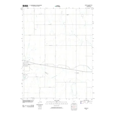 2010 Kirwin2010 Print · USGSPhillips County is shown in the early twenty-first century, dominated by the waters of the North Fork Solomon River. You can trace local landmarks like Kirwin Reservoir, the irrigation network of the Kirwin Main Canal, and the Olive Branch Cemetery.
 - 2011 Map of Bloomington, 2011 Print
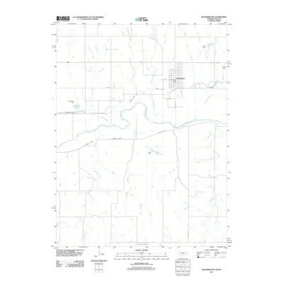 2011 Bloomington2011 Print · USGSNear the Republican River valley in the early twenty-first century, this area of Franklin County reveals a landscape shaped by water and agriculture. Genealogists and local historians can trace the streets of Bloomington, locate the Mount Olive Cemetery, and identify water works like the Franklin Canal.
 - 2011 Map of Precept, 2011 Print
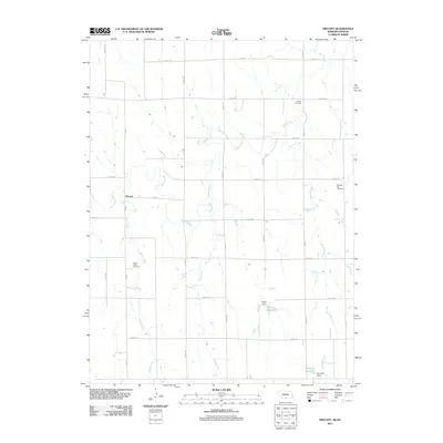 2011 Precept2011 Print · USGSThe Nebraska-Kansas borderlands in the early twenty-first century reveal a landscape of disciplined section roads and prairie creeks. Researchers can locate several burial sites like Maple Creek Cemetery and Deaver Cemetery, or trace water features such as Sappa Creek.
 - 2011 Map of Alma SW, 2011 Print
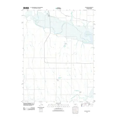 2011 Alma SW2011 Print · USGSThe Nebraska-Kansas borderlands come alive in this 2011 survey of the Republican River valley and its critical water infrastructure. Trace the modern shoreline of Harlan County Lake or locate inland features like Bantom-Coe Reservoir and the Cambridge Canal.
 - 2011 Map of Stamford SE, 2011 Print
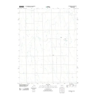 2011 Stamford SE2011 Print · USGSPhillips County, Kansas, is shown during the early 2010s as a landscape of structured section roads and vital water management. Genealogists and local historians can locate the Lutheran Cemetery and trace the paths of Sappa Creek and Twin Creek.
 - 2011 Map of Alma, 2011 Print
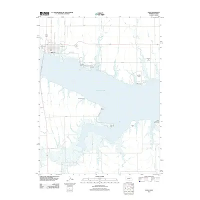 2011 Alma2011 Print · USGSAlma and the shores of Harlan County Lake are captured in detail during the early twenty-first century. Researchers can trace local landmarks from the Alma Post Office and Republican City Cemetery to the unique Harlan County Lake Seaplane Base.
 - 2011 Map of Republican City, 2011 Print
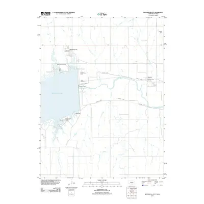 2011 Republican City2011 Print · USGSRepublican City and Naponee are shown at the height of their modern recreational and agricultural development near the Kansas border. Researchers can trace the water infrastructure of Harlan County Lake and locate sites like Patterson Harbor and the Harlan County Dam.
 - 2012 Map of Glade SE, 2012 Print
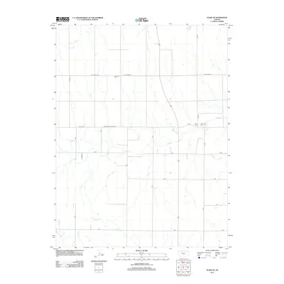 2012 Glade SE2012 Print · USGSPhillips County is captured here in the early twenty-first century, showing a rural landscape defined by prairie streams and section-line roads. Researchers can locate family landmarks like Lockwood Cem and Bow Creek Cem along the banks of Bow Cr.
 - 2012 Map of Almena, 2012 Print
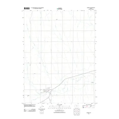 2012 Almena2012 Print · USGSAlmena sits at the confluence of prairie waterways in northern Kansas during the early twenty-first century. Genealogists can locate several local burial grounds, including Fairview Cem, Mount Hope Cem, and Farmingdale Cem, alongside the Almena town site.
 - 2012 Map of Almena SW, 2012 Print
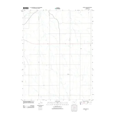 2012 Almena SW2012 Print · USGSThis rural portion of Norton County in the early twenty-first century reveals a landscape shaped by its creek systems and section-line roads. Researchers can locate family heritage sites at Mount Olive Cem or follow the paths of Prairie Dog Cr and Buffalo Cr.
 - 2012 Map of Gretna, 2012 Print
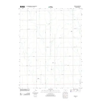 2012 Gretna2012 Print · USGSPhillips County was well-established by the early twenty-first century, with its rural landscape organized around a strict section-line road grid. Genealogists can locate family sites near Gretna and three regional burial grounds, including Pleasant View Cem and Edwards Cem.
 - 2012 Map of Kensington NW, 2012 Print
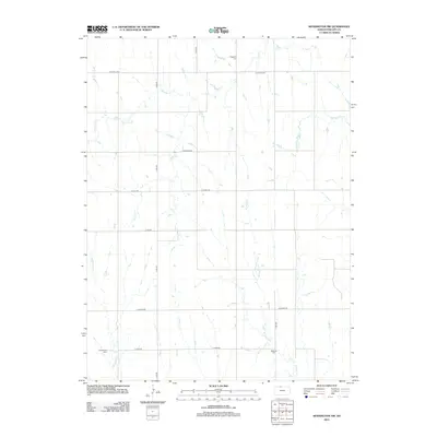 2012 Kensington NW2012 Print · USGSThe rural expanses of Phillips County in the early twenty-first century are defined by a precise section-line road network and quiet creek valleys. Genealogists can locate family landmarks such as Greenwood Cem, Matteson Cem, and the waters of W Cedar Cr.
 - 2012 Map of Stuttgart NE, 2012 Print
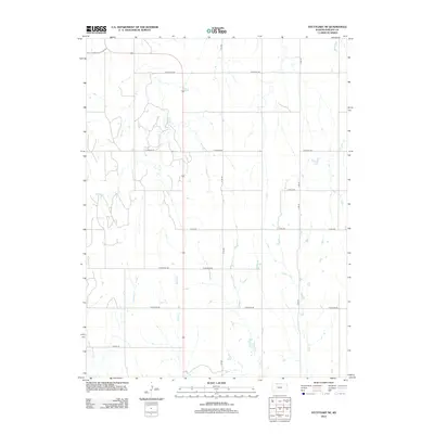 2012 Stuttgart NE2012 Print · USGSIn the open farm country of Phillips County during the early twenty-first century, the landscape is defined by its section-line roads and prairie tributaries. Researchers can trace the courses of Spring Cr and W Big Cr as they weave through a grid of rural routes like W Buffalo Rd.
 - 2012 Map of Stuttgart, 2012 Print
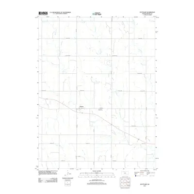 2012 Stuttgart2012 Print · USGSStuttgart and the surrounding Phillips County plains are captured here in the early twenty-first century as a landscape of steady agricultural tradition. Family historians can trace local roots at the Emmanuel Lutheran Cem and map the rural drainages of Deer Cr and Starvation Cr.
 - 2012 Map of Kirwin SE, 2012 Print
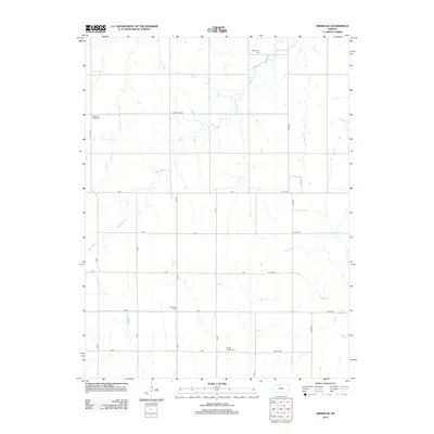 2012 Kirwin SE2012 Print · USGSOsborne County in the early twenty-first century remains a landscape of disciplined section lines and meandering prairie waterways. Genealogists can locate family burial sites at Bohemian Cem, Ash Rock Cem, and Spring Branch Cem along the Medicine Cr drainage.
 - 2012 Map of Glade SW, 2012 Print
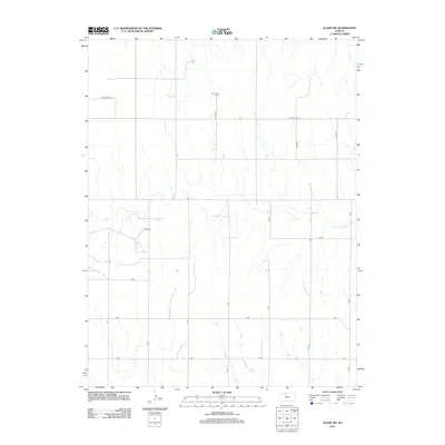 2012 Glade SW2012 Print · USGSPhillips County in the early twenty-first century remains a landscape of agricultural order and quiet prairie drainages. Genealogists and local historians can pinpoint Plainview Cem or trace the winding paths of Bow Cr and Ash Cr.
 - 2012 Map of Prairie View, 2012 Print
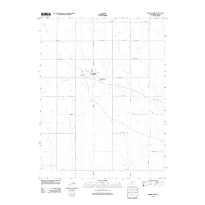 2012 Prairie View2012 Print · USGSThis northern Kansas landscape in the early 2010s captures the rural community of Prairie View and its surrounding agricultural grid. Genealogists can locate family landmarks like Luctor Cem and Prairie View Cem among the reaches of Beaver Cr.
 - 2012 Map of Logan, 2012 Print
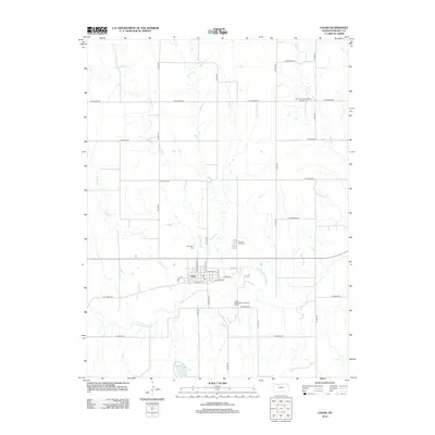 2012 Logan2012 Print · USGSLogan and the Solomon River valley are captured here in the early twenty-first century, showing the town's local road network and surrounding farmland. Genealogists can locate family sites at Old Logan Cem, Pleasant View Cem, and the Logan City Lake.
 - 2012 Map of Woodruff, 2012 Print
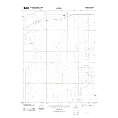 2012 Woodruff2012 Print · USGSPhillips County's northern borderlands are captured here in the early twenty-first century as agricultural tradition meets modern energy production. Researchers can locate Woodruff Cem and trace the many drainage patterns of Prairie Dog Cr and the Huffstutter Oil Field.
 - 2012 Map of Kensington, 2012 Print
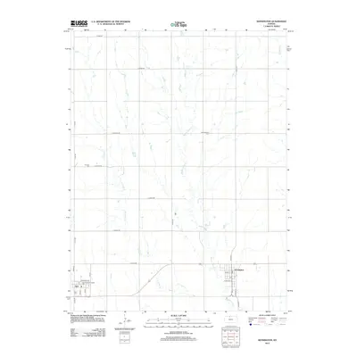 2012 Kensington2012 Print · USGSSmith County agriculture and small-town life are preserved here as they appeared in the early 2010s. Genealogists and local historians can trace the street grids of Kensington and Agra or locate rural landmarks like Germantown Cem and the Agra American Legion Hall.
 - 2012 Map of Kensington NE, 2012 Print
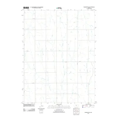 2012 Kensington NE2012 Print · USGSPhillips County rural life is mapped here in the early twenty-first century, showing the enduring grid of section-line roads and prairie creek beds. Genealogists and local historians can locate Stone Cem and trace the paths of E Middle Cedar Cr and Lost Cr.
 - 2012 Map of Logan SE, 2012 Print
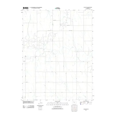 2012 Logan SE2012 Print · USGSPhillips County agricultural lands are documented here in the early twenty-first century, centered on the drainage of Bow Cr. Researchers can locate Prairie Dale Cem or trace rural infrastructure along W Cozy Cove Rd and A RD.
 - 2012 Map of Long Island, 2012 Print
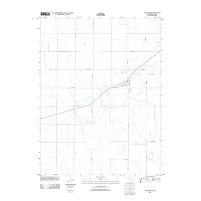 2012 Long Island2012 Print · USGSPhillips County's agricultural heartland is documented here in the early twenty-first century, centered on the community of Long Island. Researchers can locate family sites and local landmarks like the Long Island Cem, Vineman Cem, and the central PO.
 - 2012 Map of Phillipsburg North, 2012 Print
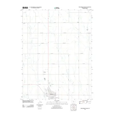 2012 Phillipsburg North2012 Print · USGSPhillipsburg sits at the edge of the Kansas plains in the early 2010s, where town life meets a vast network of prairie creeks. Researchers can locate family plots at Union Cem or Pleasant Hill Cem and trace the drainage of Plotner Cr through the local section lines.
Showing maps 1-25 of 92
Top cities of Phillips County
- Phillipsburg historical maps
- Logan historical maps
- Agra historical maps
- Kirwin historical maps
- Long Island historical maps
- Prairie View historical maps
See more
Frequently asked questions
- What are the different types of historical maps available for Phillips County?
- What is the oldest map of Phillips County?
- Where can I purchase historical maps of Phillips County for my home or office?
- Where can I download high-res historical maps of Phillips County?
- Are there historical topographic maps available for Phillips County?
- Is there historical aerial imagery available for Phillips County?
- Where are historical maps of Phillips County sourced from?