2000-2009 Maps of Rice County, Kansas
Explore 19 historic maps of Rice County from 2000-2009. These maps offer a rare glimpse into what life looked like during the 2000s — showing old roads, neighborhoods, homes, and landmarks that have changed or disappeared over time.
Whether you're researching your family's past, planning a metal detecting trip, or studying how Rice County's landscape evolved across the 2000s, these high-resolution maps are a powerful tool for exploring the history of this region.
- Focus on a specific era: All maps on this page are from the 2000s, giving you a focused view of this time period.
- See what’s changed: Compare century-old streets, trails, and buildings to today's modern landscape using overlays and satellite layers.
- Research with precision: Use these maps for genealogy, historical research, land use analysis, or educational projects.
- View, download, or print: Maps are fully viewable online in high resolution, and can be downloaded or printed for your own records.
Start exploring Rice County's history through authentic maps from the 2000s. This is your window into the past.
Rice County, KS maps
(19)- 2009 Map of Lyons SE, 2009 Print
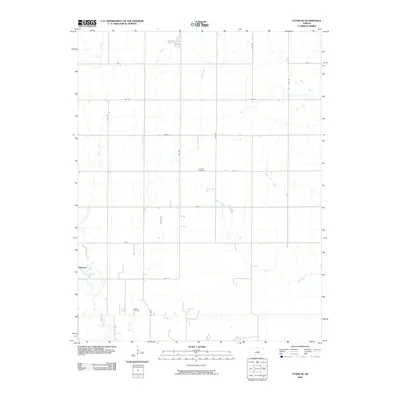 2009 Lyons SE2009 Print · USGSSoutheast of Lyons in the early 2000s, this rural Kansas landscape reveals a mix of agricultural heritage and energy production. Researchers can pinpoint Lociana Cemetery and the Saxman settlement, or trace the footprint of the Wherry Oil Field among the prairie creeks.
 - 2009 Map of Chase NE, 2009 Print
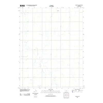 2009 Chase NE2009 Print · USGSThe rural expanses of Rice County are captured here in the early twenty-first century, showing a landscape defined by industrial energy and prairie agriculture. Researchers can trace the layout of the Frederick Oil Field and the meandering paths of Cow Creek and Lost Creek.
 - 2009 Map of Lyons, 2009 Print
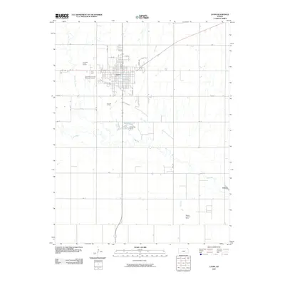 2009 Lyons2009 Print · USGSLyons and the surrounding Kansas plains appear here at the end of the first decade of the 2000s, balancing municipal growth with energy extraction. Researchers can trace the extensive Lyons West Oil and Gas Field, find the Lyons Post Office, and locate the settlement of Saxman.
 - 2009 Map of Lyons NW, 2009 Print
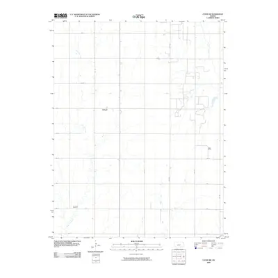 2009 Lyons NW2009 Print · USGSRice County at the end of the first decade of the 2000s shows a classic Kansas landscape of rural roads and oil exploration. Genealogists and local historians can locate the Shumway Cemetery, the settlement of Pollard, and the industrial footprint of the Kepley Oil Field.
 - 2009 Map of Alden NW, 2009 Print
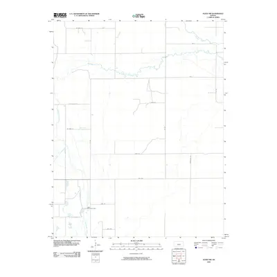 2009 Alden NW2009 Print · USGSReno County's agricultural heartland is documented here at the end of the decade, showing the geometric precision of the Great Plains road grid. Researchers can trace local water management and terrain through Lake Darrynane Dam, Salt Creek, and Dead Horse Slough.
 - 2009 Map of Windom SW, 2009 Print
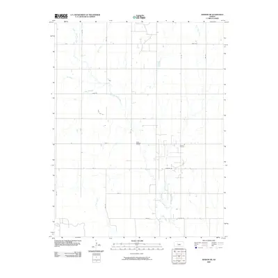 2009 Windom SW2009 Print · USGSCentral Kansas remains a landscape defined by its waterways and oil extraction at the end of the decade. Genealogists and local researchers can trace family roots at Andover Cemetery or follow the path of the Little Arkansas River near the Welch- Bornholdt Oil Field.
 - 2009 Map of Holyrood, 2009 Print
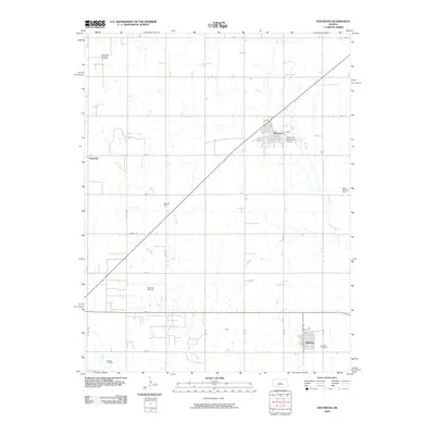 2009 Holyrood2009 Print · USGSHolyrood and the surrounding Kansas plains are captured here in a period of active energy production and rural settlement. Genealogists and local historians can trace family roots near Bushton Cemetery or locate old sites like Cain and Farhman.
 - 2009 Map of Lorraine, 2009 Print
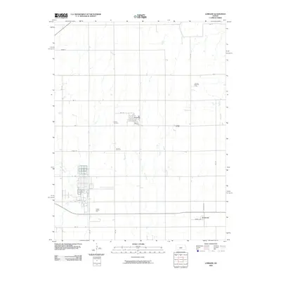 2009 Lorraine2009 Print · USGSCentral Kansas agriculture and energy production intersect in this early twenty-first-century survey of Ellsworth County. Genealogists and local historians can locate the Lorraine Cemetery, trace the Lorraine Oil Field, and explore the small settlement of Frederick.
 - 2009 Map of Windom, 2009 Print
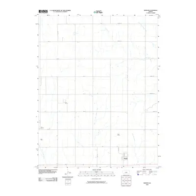 2009 Windom2009 Print · USGSWindom and the surrounding McPherson County plains are documented here at the turn of the millennium. Genealogists and local historians can trace the grid of country roads to Bean Cemetery, the Rellim Oil Field, and the banks of the Little Arkansas River.
 - 2009 Map of Raymond, 2009 Print
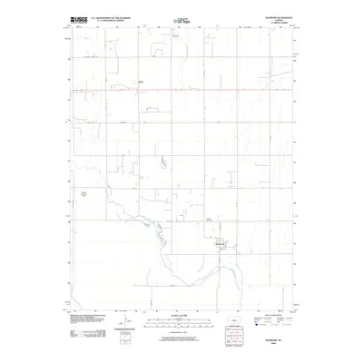 2009 Raymond2009 Print · USGSRice County agriculture and river life intersect in this 2009 survey of the central Kansas plains. Genealogists and local historians can trace the community of Raymond along the Arkansas River, locating family markers at Hilltop Cemetery or Immanuel Cemetery.
 - 2009 Map of Hutchinson NW, 2009 Print
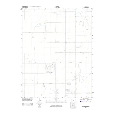 2009 Hutchinson NW2009 Print · USGSNorthwest of the city center in the early 2000s, this area of Reno County demonstrates the shift from prairie farming to suburban growth. Researchers can trace modern developments like Rolling Dunes Rd and the leisure-focused streets around Country Club Dr near the Little Arkansas River.
 - 2009 Map of Chase NW, 2009 Print
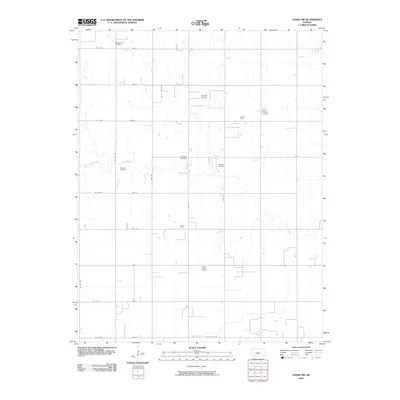 2009 Chase NW2009 Print · USGSBarton County is shown during a period of significant energy production in the early twenty-first century. Researchers can trace the footprint of the local petroleum industry across the Chase-Silica Oil Field or locate family plots at Salem-Friedhof Cemetery.
 - 2009 Map of Little River, 2009 Print
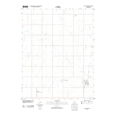 2009 Little River2009 Print · USGSLittle River and the surrounding Rice County prairie are shown here in the early twenty-first century, revealing a landscape shaped by water and oil. Researchers can trace the town grid of Little River and locate rural landmarks like Galt, Mitchell, and the Odessa Oil Field.
 - 2009 Map of Geneseo, 2009 Print
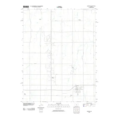 2009 Geneseo2009 Print · USGSGeneseo and the surrounding Rice County plains are shown here as they appeared in the early 2000s, where traditional agriculture and oil extraction coexist. Genealogists and researchers can locate the Kansas Center Cemetery, the community of Midway, and the Little Arkansas River headwaters.
 - 2009 Map of Sterling, 2009 Print
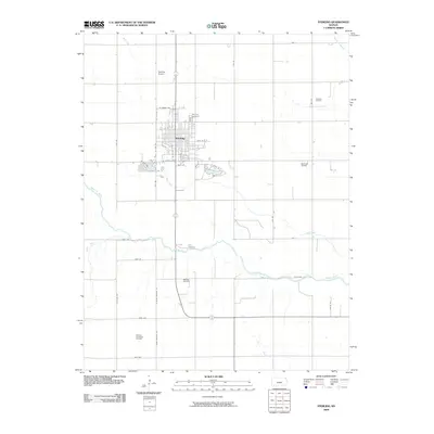 2009 Sterling2009 Print · USGSSterling is documented at the close of the 2000s, showing a well-ordered townsite near the Arkansas River. Genealogists and historians can trace the local landscape through the Sterling Cemetery, local energy production at the Dymond Oil Field, and the Sterling Airport.
 - 2009 Map of Chase, 2009 Print
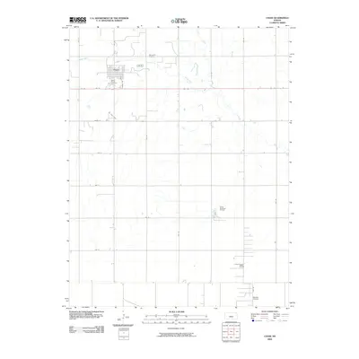 2009 Chase2009 Print · USGSThe agricultural and energy-producing landscape of central Kansas is documented here in the early twenty-first century. Genealogists and local historians can locate Saint Marys Cemetery, trace the meandering Cow Creek, and identify industrial markers like the Tobias Oil Field.
 - 2009 Map of Alden, 2009 Print
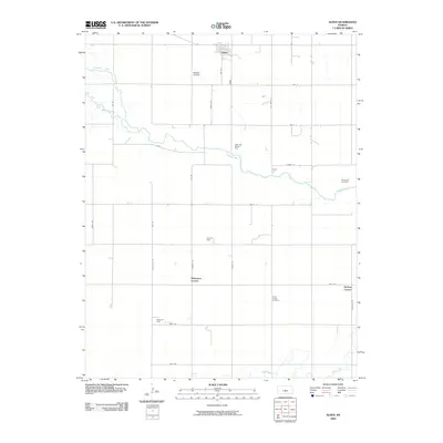 2009 Alden2009 Print · USGSRice County agricultural and energy landscapes are captured here during the first decade of the 2000s. Researchers can trace the section-line roads connecting Alden to local landmarks like Kilbourns Corner, Peace Valley Cemetery, and the Rino Oil Field.
 - 2009 Map of Nickerson, 2009 Print
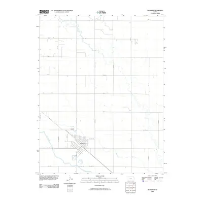 2009 Nickerson2009 Print · USGSNickerson is situated on the Kansas plains just north of the Arkansas River in the early twenty-first century. Genealogists and local historians can trace the town grid and find Wildmead Cemetery, Cow Creek, and the paths of Railroad Rd and RR St.
 - 2009 Map of Langley, 2009 Print
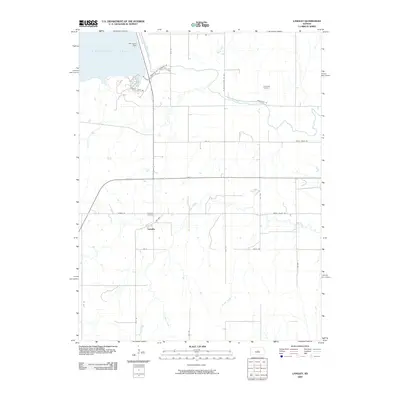 2009 Langley2009 Print · USGSLangley and the surrounding Ellsworth County countryside appear in this early twenty-first-century survey just south of the vast reservoir. Researchers can trace local heritage through sites like Riverside Cemetery, the Kanopolis Dam, and the small settlement of Langley.
End of results
Showing maps 1-19 of 19
Top cities of Rice County
- Lyons historical maps
- Sterling historical maps
- Little River historical maps
- Chase historical maps
- Bushton historical maps
- Geneseo historical maps
See more
Frequently asked questions
- What are the different types of historical maps available for Rice County?
- What is the oldest map of Rice County?
- Where can I purchase historical maps of Rice County for my home or office?
- Where can I download high-res historical maps of Rice County?
- Are there historical topographic maps available for Rice County?
- Is there historical aerial imagery available for Rice County?
- Where are historical maps of Rice County sourced from?