1950s Maps of Plaquemines Parish, Louisiana
Explore 35 historic maps of Plaquemines Parish from the 1950s. These maps offer a rare glimpse into what life looked like during the 1950s — showing old roads, neighborhoods, homes, and landmarks that have changed or disappeared over time.
Whether you're researching your family's past, planning a metal detecting trip, or studying how Plaquemines Parish's landscape evolved across the 1950s, these high-resolution maps are a powerful tool for exploring the history of this region.
- Focus on a specific era: All maps on this page are from the 1950s, giving you a focused view of this time period.
- See what’s changed: Compare century-old streets, trails, and buildings to today's modern landscape using overlays and satellite layers.
- Research with precision: Use these maps for genealogy, historical research, land use analysis, or educational projects.
- View, download, or print: Maps are fully viewable online in high resolution, and can be downloaded or printed for your own records.
Start exploring Plaquemines Parish's history through authentic maps from the 1950s. This is your window into the past.
Plaquemines Parish, LA maps
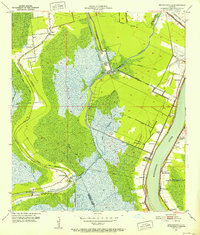
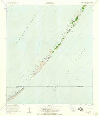
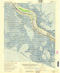
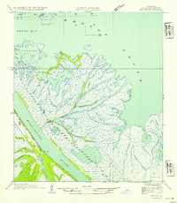
(35)- 1950 Map of Breton Islands, 1958 Print
 1950 Breton Islands1958 Print · USGSCovers Plaquemines Parish, including Breton, West Point, and other nearby areas
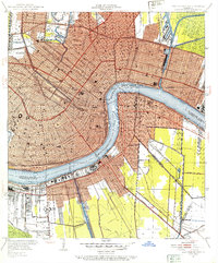
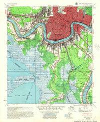
 - 1950 Map of New Orleans, 1966 Print
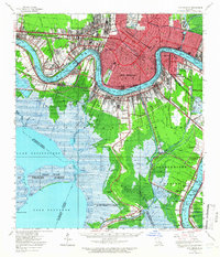 1950 New Orleans1966 Print · USGSCovers Plaquemines Parish, including New Orleans, Metairie, and other nearby areas
 - 1951 Map of Bertrandville, 1952 Print
 1951 Bertrandville1952 Print · USGSCovers Plaquemines Parish, including Gretna, Jean Lafitte, and other nearby areas2 unique versions available
 - 1951 Map of Delacroix, 1952 Print
 1951 Delacroix1952 Print · USGSCovers Plaquemines Parish, including Reggio, Toca, and other nearby areas
 - 1951 Map of Belle Chasse, 1952 Print
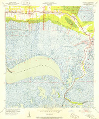
 1951 Belle Chasse1952 Print · USGSCovers Plaquemines Parish, including New Orleans, Saint Clair, and other nearby areas2 unique versions available
 - 1951 Map of New Orleans East, 1953 Print
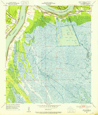
 1951 New Orleans East1953 Print · USGSCovers Plaquemines Parish, including New Orleans, Algiers, and other nearby areas2 unique versions available
 - 1951 Map of Chalmette, 1953 Print
 1951 Chalmette1953 Print · USGSCovers Plaquemines Parish, including New Orleans, Chalmette, and other nearby areas2 unique versions available
 - 1951 Map of Stake Islands, 1958 Print
 1951 Stake Islands1958 Print · USGSCovers Plaquemines Parish, including Saint Bernard Parish, United States, and other nearby areas2 unique versions available
 - 1951 Map of Grand Gosier Islands, 1975 Print
 1951 Grand Gosier Islands1975 Print · USGSCovers Plaquemines Parish, including United States, Louisiana, and other nearby areas2 unique versions available
 - 1952 Map of Southwest Pass
 1952 Southwest Pass1952 Print · USGSCovers Plaquemines Parish, including United States, Louisiana, and other nearby areas
 - 1953 Map of West Delta
 1953 West Delta1953 Print · USGSCovers Plaquemines Parish, including Pilottown, United States, and other nearby areas
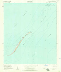
 - 1953 Map of Breton Island
 1953 Breton Island1953 Print · USGSCovers Plaquemines Parish, including Breton, West Point, and other nearby areas
 - 1953 Map of Empire
 1953 Empire1953 Print · USGSCovers Plaquemines Parish, including Port Sulphur, Home Place, and other nearby areas
 - 1954 Map of Pass A Loutre East
 1954 Pass A Loutre East1954 Print · USGSCovers Plaquemines Parish, including United States, Louisiana, and other nearby areas
 - 1954 Map of Pass A Loutre West
 1954 Pass A Loutre West1954 Print · USGSCovers Plaquemines Parish, including United States, Louisiana, and other nearby areas
 - 1954 Map of Pass Du Bois
 1954 Pass Du Bois1954 Print · USGSCovers Plaquemines Parish, including United States, Louisiana, and other nearby areas
 - 1954 Map of Venice
 1954 Venice1954 Print · USGSCovers Plaquemines Parish, including Orchard, Venice, and other nearby areas
 - 1954 Map of Fort St. Philip
 1954 Fort St. Philip1954 Print · USGSCovers Plaquemines Parish, including Boothville, Duvic, and other nearby areas
 - 1954 Map of Southwest Pass
 1954 Southwest Pass1954 Print · USGSCovers Plaquemines Parish, including United States, Louisiana, and other nearby areas
 - 1954 Map of Taylor Pass
 1954 Taylor Pass1954 Print · USGSCovers Plaquemines Parish, including United States, Louisiana, and other nearby areas
 - 1954 Map of Pass Tante Phine
 1954 Pass Tante Phine1954 Print · USGSCovers Plaquemines Parish, including United States, Louisiana, and other nearby areas
 - 1954 Map of East Delta
 1954 East Delta1954 Print · USGSCovers Plaquemines Parish, including Port Eads, United States, and other nearby areas
 - 1954 Map of Mudpan Bayou
 1954 Mudpan Bayou1954 Print · USGSCovers Plaquemines Parish, including United States, Louisiana, and other nearby areas
 - 1954 Map of New Orleans, 1955 Print
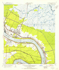
 1954 New Orleans1955 Print · USGSCovers Plaquemines Parish, including New Orleans, Metairie, and other nearby areas
 - 1955 Map of St. Bernard
 1955 St. Bernard1955 Print · USGSCovers Plaquemines Parish, including New Orleans, Chalmette, and other nearby areas
Showing maps 1-25 of 35
Top cities of Plaquemines Parish
Frequently asked questions
- What are the different types of historical maps available for Plaquemines Parish?
- What is the oldest map of Plaquemines Parish?
- Where can I purchase historical maps of Plaquemines Parish for my home or office?
- Where can I download high-res historical maps of Plaquemines Parish?
- Are there historical topographic maps available for Plaquemines Parish?
- Is there historical aerial imagery available for Plaquemines Parish?
- Where are historical maps of Plaquemines Parish sourced from?