2020s Maps of Plaquemines Parish, Louisiana
Explore 122 historic maps of Plaquemines Parish from the 2020s. These maps offer a rare glimpse into what life looked like during the 2020s — showing old roads, neighborhoods, homes, and landmarks that have changed or disappeared over time.
Whether you're researching your family's past, planning a metal detecting trip, or studying how Plaquemines Parish's landscape evolved across the 2020s, these high-resolution maps are a powerful tool for exploring the history of this region.
- Focus on a specific era: All maps on this page are from the 2020s, giving you a focused view of this time period.
- See what’s changed: Compare century-old streets, trails, and buildings to today's modern landscape using overlays and satellite layers.
- Research with precision: Use these maps for genealogy, historical research, land use analysis, or educational projects.
- View, download, or print: Maps are fully viewable online in high resolution, and can be downloaded or printed for your own records.
Start exploring Plaquemines Parish's history through authentic maps from the 2020s. This is your window into the past.
Plaquemines Parish, LA maps
(122)- 2020 Map of Burrwood Bayou East, 2020 Print
 2020 Burrwood Bayou East2020 Print · USGSCovers Plaquemines Parish, including United States, Louisiana, and other nearby areas
 - 2020 Map of Burrwood Bayou West, 2020 Print
 2020 Burrwood Bayou West2020 Print · USGSCovers Plaquemines Parish, including United States, Louisiana, and other nearby areas
 - 2020 Map of Grand Gosier Islands OE E, 2020 Print
 2020 Grand Gosier Islands OE E2020 Print · USGSCovers Plaquemines Parish, including United States, Louisiana, and other nearby areas
 - 2020 Map of Curlew Islands, 2020 Print
 2020 Curlew Islands2020 Print · USGSCovers Plaquemines Parish, including Saint Bernard Parish, United States, and other nearby areas
 - 2020 Map of South of South Pass, 2020 Print
 2020 South of South Pass2020 Print · USGSCovers Plaquemines Parish, including South Pass, United States, and other nearby areas
 - 2020 Map of Black Bay South, 2020 Print
 2020 Black Bay South2020 Print · USGSCovers Plaquemines Parish, including United States, Louisiana, and other nearby areas
 - 2020 Map of Dixon Bay, 2020 Print
 2020 Dixon Bay2020 Print · USGSCovers Plaquemines Parish, including United States, Louisiana, and other nearby areas
 - 2020 Map of Lake Cuatro Caballo, 2020 Print
 2020 Lake Cuatro Caballo2020 Print · USGSCovers Plaquemines Parish, including Saint Bernard Parish, United States, and other nearby areas
 - 2020 Map of Bay Batiste, 2020 Print
 2020 Bay Batiste2020 Print · USGSCovers Plaquemines Parish, including Grande Ecaille, United States, and other nearby areas
 - 2020 Map of Pilottown, 2020 Print
 2020 Pilottown2020 Print · USGSCovers Plaquemines Parish, including Pilottown, United States, and other nearby areas
 - 2020 Map of Pass du Bois, 2020 Print
 2020 Pass du Bois2020 Print · USGSCovers Plaquemines Parish, including United States, Louisiana, and other nearby areas
 - 2020 Map of Bay Coquette, 2020 Print
 2020 Bay Coquette2020 Print · USGSCovers Plaquemines Parish, including United States, Louisiana, and other nearby areas
 - 2020 Map of Lake Laurier, 2020 Print
 2020 Lake Laurier2020 Print · USGSCovers Plaquemines Parish, including Bellevue, Deer Range, and other nearby areas
 - 2020 Map of Lake Athanasio OE S, 2020 Print
 2020 Lake Athanasio OE S2020 Print · USGSCovers Plaquemines Parish, including Saint Bernard Parish, United States, and other nearby areas
 - 2020 Map of Bastian Bay, 2020 Print
 2020 Bastian Bay2020 Print · USGSCovers Plaquemines Parish, including United States, Louisiana, and other nearby areas
 - 2020 Map of Pass Tante Phine, 2020 Print
 2020 Pass Tante Phine2020 Print · USGSCovers Plaquemines Parish, including United States, Louisiana, and other nearby areas
 - 2020 Map of Buras, 2020 Print
 2020 Buras2020 Print · USGSCovers Plaquemines Parish, including Ostrica, Sunrise, and other nearby areas
 - 2020 Map of Grand Isle, 2020 Print
 2020 Grand Isle2020 Print · USGSCovers Plaquemines Parish, including Grand Isle, Jefferson Parish, and other nearby areas
 - 2020 Map of Breton Islands, 2020 Print
 2020 Breton Islands2020 Print · USGSCovers Plaquemines Parish, including West Point, Breton, and other nearby areas
 - 2020 Map of Barataria Pass, 2020 Print
 2020 Barataria Pass2020 Print · USGSCovers Plaquemines Parish, including Grand Isle, Bassa Bassa, and other nearby areas
 - 2020 Map of Happy Jack, 2020 Print
 2020 Happy Jack2020 Print · USGSCovers Plaquemines Parish, including Happy Jack, Encalade, and other nearby areas
 - 2020 Map of Lake Batola, 2020 Print
 2020 Lake Batola2020 Print · USGSCovers Plaquemines Parish, including United States, Louisiana, and other nearby areas
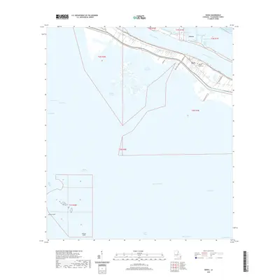
 - 2020 Map of Empire, 2020 Print
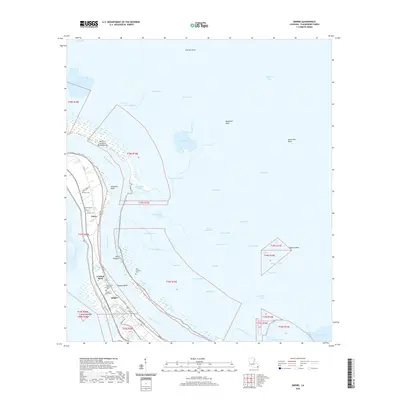 2020 Empire2020 Print · USGSCovers Plaquemines Parish, including Hesperides, Empire, and other nearby areas
 - 2020 Map of Grand Gosier Islands, 2020 Print
 2020 Grand Gosier Islands2020 Print · USGSCovers Plaquemines Parish, including United States, Louisiana, and other nearby areas
 - 2020 Map of Pass a Loutre East, 2020 Print
 2020 Pass a Loutre East2020 Print · USGSCovers Plaquemines Parish, including United States, Louisiana, and other nearby areas
Showing maps 1-25 of 122
Top cities of Plaquemines Parish
Frequently asked questions
- What are the different types of historical maps available for Plaquemines Parish?
- What is the oldest map of Plaquemines Parish?
- Where can I purchase historical maps of Plaquemines Parish for my home or office?
- Where can I download high-res historical maps of Plaquemines Parish?
- Are there historical topographic maps available for Plaquemines Parish?
- Is there historical aerial imagery available for Plaquemines Parish?
- Where are historical maps of Plaquemines Parish sourced from?