2010s Maps of Saint Bernard Parish, Louisiana
Explore 129 historic maps of Saint Bernard Parish from the 2010s. These maps offer a rare glimpse into what life looked like during the 2010s — showing old roads, neighborhoods, homes, and landmarks that have changed or disappeared over time.
Whether you're researching your family's past, planning a metal detecting trip, or studying how Saint Bernard Parish's landscape evolved across the 2010s, these high-resolution maps are a powerful tool for exploring the history of this region.
- Focus on a specific era: All maps on this page are from the 2010s, giving you a focused view of this time period.
- See what’s changed: Compare century-old streets, trails, and buildings to today's modern landscape using overlays and satellite layers.
- Research with precision: Use these maps for genealogy, historical research, land use analysis, or educational projects.
- View, download, or print: Maps are fully viewable online in high resolution, and can be downloaded or printed for your own records.
Start exploring Saint Bernard Parish's history through authentic maps from the 2010s. This is your window into the past.
Saint Bernard Parish, LA maps
(129)- 2012 Map of Isle au Pitre, 2012 Print
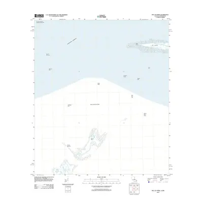 2012 Isle au Pitre2012 Print · USGSThe coastal boundary of Mississippi and Louisiana comes into focus through this survey of the Mississippi Sound's barrier islands and shoals. Maritime researchers can trace the intricate shorelines of Isle au Pitre and Cat Island or locate remote landmarks like Creole Gap Key.
 - 2012 Map of Three Mile Bay, 2012 Print
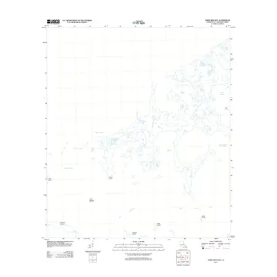 2012 Three Mile Bay2012 Print · USGSSaint Bernard Parish at the start of the 2010s reveals a sprawling network of marshland and tidal bayous. You can trace the intricate coastal geography through landmarks like Oyster Bayou, Little Raccoon Island, and Boudeau Bay.
 - 2012 Map of Door Point, 2012 Print
 2012 Door Point2012 Print · USGSSaint Bernard Parish at the edge of the Chandeleur Sound is a landscape of shifting tides and marshes. Maritime researchers can trace the intricate waterways of Jack Williams Bayou and Murder Bayou or locate the historic Door Point Light.
 - 2012 Map of Malheureux Point, 2012 Print
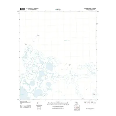 2012 Malheureux Point2012 Print · USGSThe coastal marshlands of Saint Bernard Parish appear in fine detail during the early twenty-first century, showing the fluid boundary where the Mississippi delta meets the sound. Maritime researchers can locate specific navigational aids like Ninemile Bayou Light and trace the complex waterways of Whiskey Bayou and Trappers Bayou.
 - 2012 Map of Alligator Point, 2012 Print
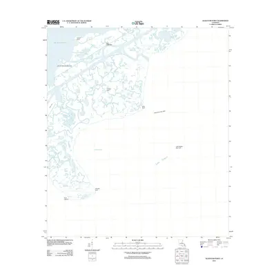 2012 Alligator Point2012 Print · USGSThe Orleans Parish coastline and its industrial gas fields come into sharp focus in this early twenty-first-century survey of the Louisiana wetlands. Researchers can trace the layout of energy infrastructure like the Lake St Catherine Gas Field and name coastal features such as Alligator Point and Truloix Point.
 - 2012 Map of False Mouth Bayou, 2012 Print
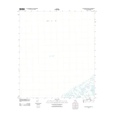 2012 False Mouth Bayou2012 Print · USGSCoastal Louisiana marshes meet the open waters of the sound in the early twenty-first century. Researchers can trace the winding paths of False Mouth Bayou and Bayou Magill or locate the offshore Rigolets Gas Field.
 - 2012 Map of Chef Menteur, 2012 Print
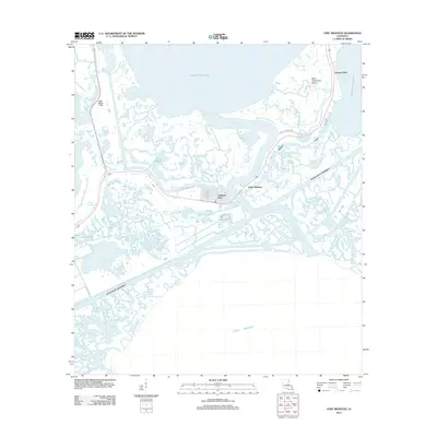 2012 Chef Menteur2012 Print · USGSCoastal Louisiana in the early twenty-first century reveals a landscape defined by the intersection of major shipping channels and master-planned waterfront living. Trace the development of Venetian Isles and follow the vital Intracoastal Waterway as it cuts past Chef Menteur Pass.
 - 2012 Map of English Lookout, 2012 Print
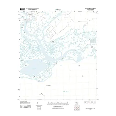 2012 English Lookout2012 Print · USGSThe Mississippi-Louisiana borderlands come alive in this map of the Pearl River delta just after the first decade of the millennium. Genealogists and researchers can trace the coastal landscape from the streets of Pearlington to Ansley, locating landmarks like English Lookout and the Pearl River Light.
 - 2012 Map of Little Woods, 2012 Print
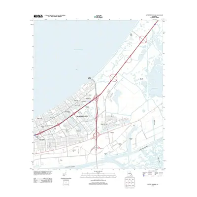 2012 Little Woods2012 Print · USGSEastern New Orleans in the early 2010s shows a complex network of industrial canals and residential enclaves. Trace the heavy infrastructure of the Michoud Assembly Facility alongside neighborhoods like Village de L'Est and Little Woods.
 - 2012 Map of Rigolets, 2012 Print
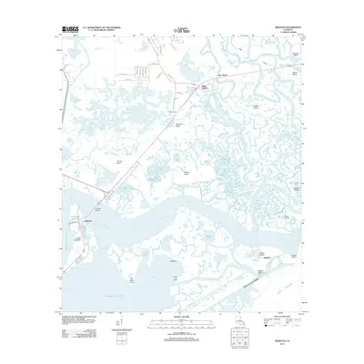 2012 Rigolets2012 Print · USGSCoastal marshes and historic fortifications dominate this New Orleans passage at the start of the 2010s. Modern researchers can locate the McKean Cem on Apple Pie Ridge or trace the strategic position of Pike Fort guarding the deep-water channels.
 - 2012 Map of Chandeleur Light, 2012 Print
 2012 Chandeleur Light2012 Print · USGSThe coastal waters of Saint Bernard Parish are captured here during the early 2010s, showing the fragile barrier of the Chandeleur Islands. Researchers can trace the shifting geography of the island chain where it meets the Chandeleur Sound and the Gulf of Mexico.
 - 2012 Map of Chandeleur Light OE W, 2012 Print
 2012 Chandeleur Light OE W2012 Print · USGSCoastal Saint Bernard Parish is captured during a period of significant environmental shift in the early 2010s. Maritime researchers and coastal historians can trace the precise shoreline of the Chandeleur Islands and the location of Hewes Point within the Chandeleur Sound.
 - 2012 Map of New Orleans East, 2012 Print
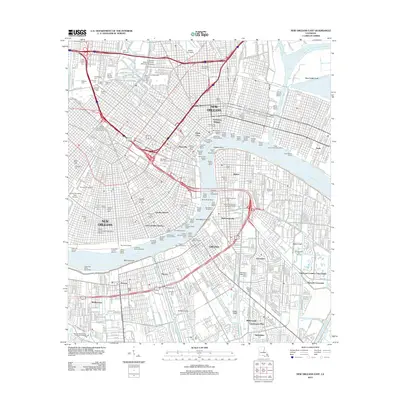 2012 New Orleans East2012 Print · USGSNew Orleans and the West Bank waterfront are shown in high detail during the early twenty-first century. Researchers can trace historic burial grounds like Metairie Cemetery or explore the river's industrial reach through the Stuyvesant Docks and Gretna Ferry Landing.
 - 2012 Map of Pointe aux Marchettes, 2012 Print
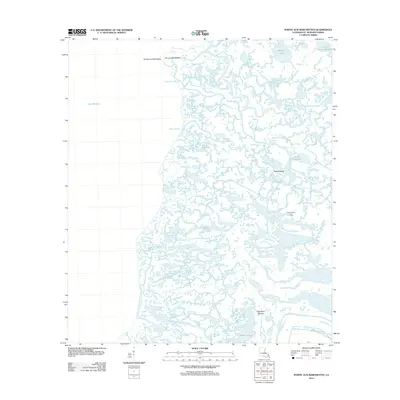 2012 Pointe aux Marchettes2012 Print · USGSSaint Bernard Parish at the start of the 2010s reveals a complex coastal landscape where the marsh meets Lake Borgne. Researchers can trace the winding paths of Bayou la Loutre and Bayou Grande or locate the Bayou Biloxi Gas Field.
 - 2012 Map of Lake Athanasio, 2012 Print
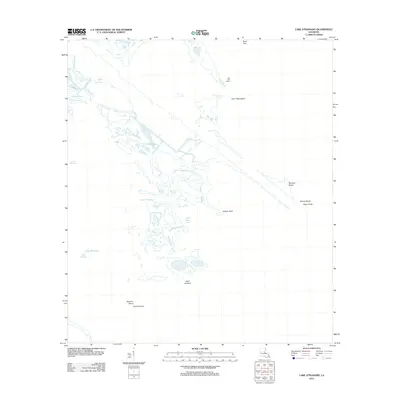 2012 Lake Athanasio2012 Print · USGSThe coastal marsh of Saint Bernard Parish is documented here in the early twenty-first century as a labyrinth of bayous and shifting islands. Trace the shoreline and maritime landmarks like Saint Helena Bay, Point Fortuna, and the winding Bayou Frenepiquant.
 - 2012 Map of Lake Cuatro Caballo, 2012 Print
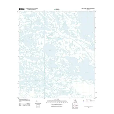 2012 Lake Cuatro Caballo2012 Print · USGSCoastal Saint Bernard Parish is captured here during the early twenty-first century, showing the intricate water-bound landscape of the Louisiana delta. Trace the complex marshland channels connecting Lake Cuatro Caballo, Deer Island, and the River aux Chenes.
 - 2012 Map of Lake Eloi, 2012 Print
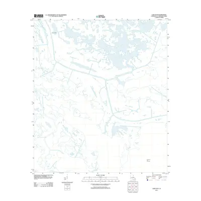 2012 Lake Eloi2012 Print · USGSSaint Bernard Parish at the edge of the gulf is captured here in the early twenty-first century, showing a complex network of coastal marshes and waterways. Researchers can trace maritime routes along Bayou-la-Loutre and locate industrial landmarks like the Eloi Bay Oil and Gas Fields.
 - 2012 Map of Lake Eugenie, 2012 Print
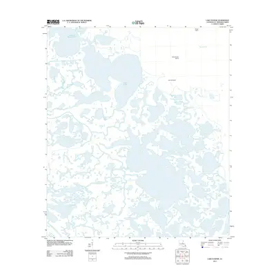 2012 Lake Eugenie2012 Print · USGSCoastal Saint Bernard Parish is documented here in the early twenty-first century, revealing an intricate world of marsh and tidal bayous. Trace the winding paths of Bayou-la-Loutre or locate isolated landmarks like Wild Goose Island and Pirate Point among the wetlands.
 - 2012 Map of Morgan Harbor, 2012 Print
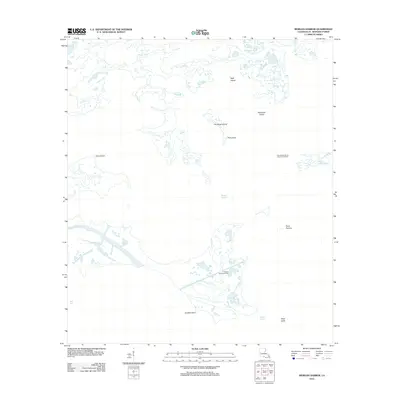 2012 Morgan Harbor2012 Print · USGSCoastal Saint Bernard Parish in the early 2010s reveals a maritime landscape shaped by both tide and industry. Researchers can trace the layout of the Treasure Island Gas Field and the winding course of Bayou La Loutre past landforms like Dry Bread Island.
 - 2012 Map of Saint Joe Pass, 2012 Print
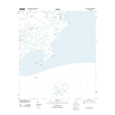 2012 Saint Joe Pass2012 Print · USGSThe Hancock County coastline and its intricate marshes are captured here in the early twenty-first century. Researchers can trace the layout of Lakeshore and Ansley, locate the Bayou Caddy Cem, and explore remote landmarks like Half Moon Island.
 - 2012 Map of Proctor Point, 2012 Print
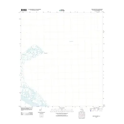 2012 Proctor Point2012 Print · USGSSaint Bernard Parish at the start of the 2010s shows a landscape of shifting tides and major maritime engineering. Trace the intersection of natural waterways like Bayou Louis with the industrial Mississippi River-Gulf Outlet Canal near Proctor Point.
 - 2012 Map of Black Bay North, 2012 Print
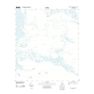 2012 Black Bay North2012 Print · USGSCoastal Saint Bernard Parish is seen here in the early twenty-first century as a labyrinth of marsh and energy infrastructure. Researchers can trace the geography of the gulf coast through named landmarks like Grand Coquille Point, Snake Island, and the Block 12 Oil Field.
 - 2012 Map of Oak Mound Bayou, 2012 Print
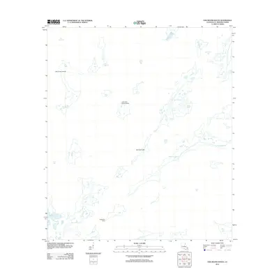 2012 Oak Mound Bayou2012 Print · USGSCoastal Saint Bernard Parish is revealed here as an intricate web of marsh and water during the early twenty-first century. Researchers can trace the winding paths of Oak Mound Bayou and Deadmans Bayou or locate landmarks like Anderson Point and the Mud Grass Islands.
 - 2012 Map of Curlew Islands, 2012 Print
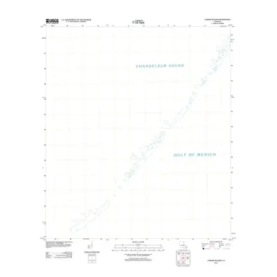 2012 Curlew Islands2012 Print · USGSCoastal Louisiana barrier islands are captured in this early 21st-century survey of the outer reaches of Saint Bernard Parish. Marine researchers and collectors can trace the fragile shoreline separating Chandeleur Sound from the Gulf of Mexico.
 - 2012 Map of North Islands OE W, 2012 Print
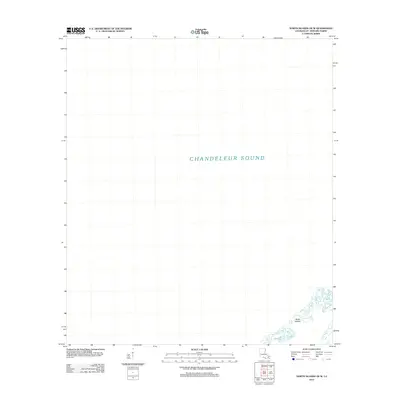 2012 North Islands OE W2012 Print · USGSSaint Bernard Parish at the start of the 2010s shows a landscape of fragile barrier islands and open water. Maritime historians can trace the tenuous position of the North Islands as they separate the Gulf from the wide Chandeleur Sound.
Showing maps 1-25 of 129
Top cities of Saint Bernard Parish
Frequently asked questions
- What are the different types of historical maps available for Saint Bernard Parish?
- What is the oldest map of Saint Bernard Parish?
- Where can I purchase historical maps of Saint Bernard Parish for my home or office?
- Where can I download high-res historical maps of Saint Bernard Parish?
- Are there historical topographic maps available for Saint Bernard Parish?
- Is there historical aerial imagery available for Saint Bernard Parish?
- Where are historical maps of Saint Bernard Parish sourced from?