2020s Maps of Saint Bernard Parish, Louisiana
Explore 96 historic maps of Saint Bernard Parish from the 2020s. These maps offer a rare glimpse into what life looked like during the 2020s — showing old roads, neighborhoods, homes, and landmarks that have changed or disappeared over time.
Whether you're researching your family's past, planning a metal detecting trip, or studying how Saint Bernard Parish's landscape evolved across the 2020s, these high-resolution maps are a powerful tool for exploring the history of this region.
- Focus on a specific era: All maps on this page are from the 2020s, giving you a focused view of this time period.
- See what’s changed: Compare century-old streets, trails, and buildings to today's modern landscape using overlays and satellite layers.
- Research with precision: Use these maps for genealogy, historical research, land use analysis, or educational projects.
- View, download, or print: Maps are fully viewable online in high resolution, and can be downloaded or printed for your own records.
Start exploring Saint Bernard Parish's history through authentic maps from the 2020s. This is your window into the past.
Saint Bernard Parish, LA maps
(96)- 2020 Map of Little Woods, 2020 Print
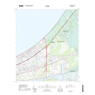 2020 Little Woods2020 Print · USGSThe eastern edges of New Orleans are captured here in the early twenty-first century as the city meets the marsh. Researchers can trace the layout of Village de L'Est, the industrial footprint at Michoud, and the historic route of the Old Spanish Trl.
 - 2020 Map of English Lookout, 2020 Print
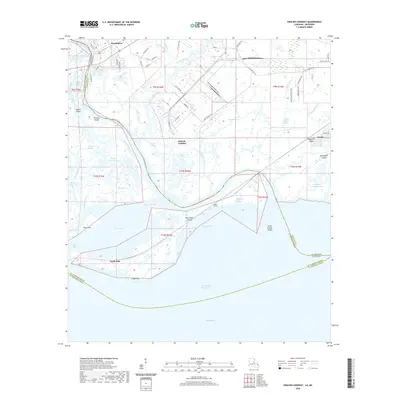 2020 English Lookout2020 Print · USGSThe coastal delta where Mississippi meets Louisiana is mapped here in detail, showing the intricate marshlands near Pearlington. Genealogists and researchers can trace family-named water features like Cousin Bayou and the remote settlements at Jackson Landing or Ansley.
 - 2020 Map of Curlew Islands OE E, 2020 Print
 2020 Curlew Islands OE E2020 Print · USGSCoastal Louisiana meets the open sea in this modern survey of Saint Bernard Parish. Maritime researchers can observe the boundary of the Gulf of Mexico in this specific reach of the Curlew Islands outer islands system.
 - 2020 Map of North Islands, 2020 Print
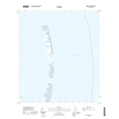 2020 North Islands2020 Print · USGSThe outer barrier system of Saint Bernard Parish is documented in this recent coastal survey. Historians and environmental researchers can trace the shifting footprint of the North Islands as they stand against the open Gulf of Mexico.
 - 2020 Map of False Mouth Bayou, 2020 Print
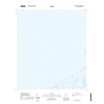 2020 False Mouth Bayou2020 Print · USGSCoastal Saint Bernard Parish is captured here in the contemporary era, showing a landscape dominated by the tidal waters of the gulf. Researchers can trace the winding waterways of False Mouth Bayou, the Lakes of Bayou Marron, and the open reach of Lake Borgne.
 - 2020 Map of Curlew Islands, 2020 Print
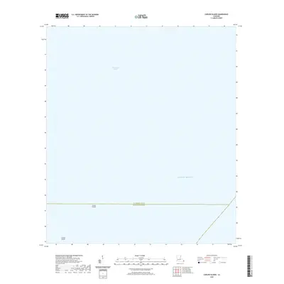 2020 Curlew Islands2020 Print · USGSCoastal Louisiana at the start of the 2020s is defined by the shifting barrier chain of the Curlew Islands. Researchers can trace the parish boundary between St. Bernard Parish and Plaquemines Parish as it crosses Chandeleur Sound.
 - 2020 Map of Freemason Island, 2020 Print
 2020 Freemason Island2020 Print · USGSThe barrier islands of Saint Bernard Parish are captured in the early twenty-first century, showing the delicate state of Louisiana's outer coast. Map collectors and coastal researchers can trace the isolated footprints of Freemason Island and the North Islands amidst Chandeleur Sound.
 - 2020 Map of North Islands OE W, 2020 Print
 2020 North Islands OE W2020 Print · USGSCoastal Saint Bernard Parish is captured during the 2020s, showing a landscape defined by the water of the Gulf. Maritime researchers and coastal historians can trace the positions of the North Islands and the expanse of Chandeleur Sound.
 - 2020 Map of Chandeleur Light, 2020 Print
 2020 Chandeleur Light2020 Print · USGSCoastal waters in Saint Bernard Parish are charted during the early twenty-first century, showing the open expanse of the Gulf of Mexico. Maritime researchers can trace maritime boundaries and offshore coordinates across this specific nautical quadrant.
 - 2020 Map of Rigolets, 2020 Print
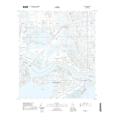 2020 Rigolets2020 Print · USGSThe northern reaches of New Orleans and the Pearl River delta meet in this recent coastal survey. Genealogists and local historians can trace the geography around White Kitchen, McKean Cem, and the historic Fort Pike Bridge.
 - 2020 Map of New Harbor Islands, 2020 Print
 2020 New Harbor Islands2020 Print · USGSThe eastern marshes of Saint Bernard Parish are seen in the year 2020 as they transition into the open sea. Map collectors and coastal researchers can trace the fragile shapes of the New Harbor Islands where they meet the Gulf of Mexico.
 - 2020 Map of Isle au Pitre, 2020 Print
 2020 Isle au Pitre2020 Print · USGSThe maritime border between Mississippi and Louisiana is captured here in the early twenty-first century, showing a landscape of shifting shoals and coastal keys. Nautical researchers can locate the protected Cat Island and trace the shallow banks of Isle au Pitre and Creole Gap Key.
 - 2020 Map of Malheureux Point, 2020 Print
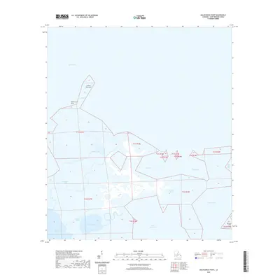 2020 Malheureux Point2020 Print · USGSSaint Bernard Parish at the edge of the gulf reveals a complex network of coastal marshes and tidal passes in the early twenty-first century. Researchers can trace the shifting shorelines of Malheureux Point and explore the historic waterways of Whiskey Bayou and Trappers Bayou.
 - 2020 Map of Three Mile Bay, 2020 Print
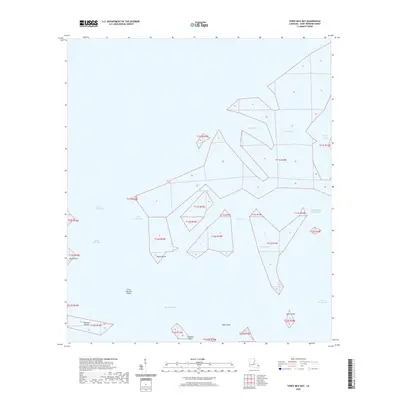 2020 Three Mile Bay2020 Print · USGSCoastal Saint Bernard Parish is captured here in the early twenty-first century, showing the fluid geometry of the Louisiana marsh. Boaters and coastal historians can trace the intricate shorelines of Three Mile Bay and islands like Little Raccoon Island or Mink Island.
 - 2020 Map of Door Point, 2020 Print
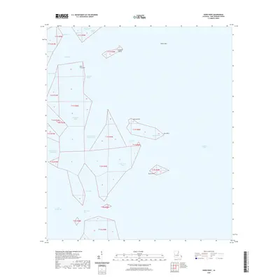 2020 Door Point2020 Print · USGSCoastal Saint Bernard Parish is captured here at a moment of significant ecological flux, showing the intricate bayou systems of the Louisiana marsh. Researchers can trace historic waterways like Murder Bayou and locate islands such as Sundown Island and Brush Island.
 - 2020 Map of Chef Menteur, 2020 Print
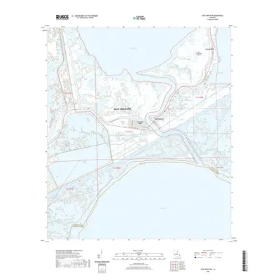 2020 Chef Menteur2020 Print · USGSThe eastern marshes of New Orleans are captured here in the contemporary era, where the historic Old Spanish Trl meets the modern Intracoastal Waterway. Trace the winding reaches of Chef Menteur Pass and the residential canals of Venetian Isles.
 - 2020 Map of Lake Cuatro Caballo, 2020 Print
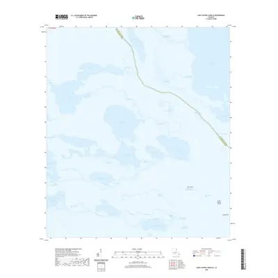 2020 Lake Cuatro Caballo2020 Print · USGSCoastal Louisiana marshes and bayous are captured in this recent survey of the boundary between St. Bernard and Plaquemines parishes. Researchers can trace the complex waterways around Lake Cuatro Caballo, Bayou Terre Aux Boeufs, and Deer Island.
 - 2020 Map of Pointe aux Marchettes, 2020 Print
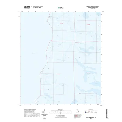 2020 Pointe aux Marchettes2020 Print · USGSSaint Bernard Parish at the edge of Lake Borgne reveals a complex coastal ecosystem in the early twenty-first century. Researchers can trace the winding paths of Bayou Saint Malo and locate landmarks like Magnolia Mound and Pointe aux Marchettes.
 - 2020 Map of Chandeleur Light OE W, 2020 Print
 2020 Chandeleur Light OE W2020 Print · USGSSaint Bernard Parish maritime waters are captured in this recent survey of the Louisiana coast. Researchers and hydrologists can study the open Gulf of Mexico and the transition into the Chandeleur Sound as they appeared in 2020.
 - 2020 Map of Lake Athanasio OE S, 2020 Print
 2020 Lake Athanasio OE S2020 Print · USGSCoastal Louisiana waters and the marsh edge are documented here in the early twenty-first century. Researchers can locate the boundary between St. Bernard Parish and Plaquemines Parish at Mozambique Point on the edge of Black Bay.
 - 2020 Map of Alligator Point, 2020 Print
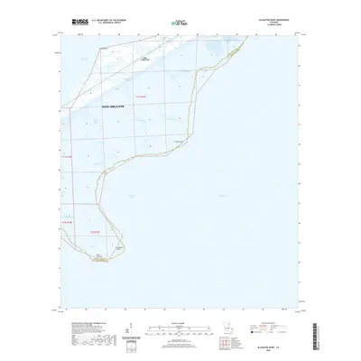 2020 Alligator Point2020 Print · USGSThe coastal fringes of the Louisiana delta appear in high detail during this modern survey of the marshes east of the city. Researchers can trace the winding paths of Truloix Bayou, locate Alligator Point, and examine the shoreline of Lake Borgne.
 - 2020 Map of Proctor Point, 2020 Print
 2020 Proctor Point2020 Print · USGSSaint Bernard Parish at the start of the 2020s reveals a marshland landscape shaped by both nature and shipping. Maritime researchers can trace the intersection of the Mississippi River-Gulf Outlet Canal with local waters like Fort Bayou and Proctor Point.
 - 2020 Map of Martello Castle, 2020 Print
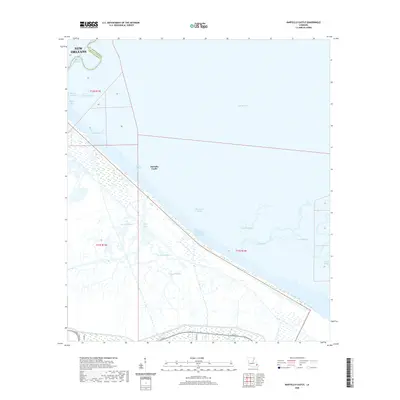 2020 Martello Castle2020 Print · USGSThe coastal marshes east of New Orleans are captured here in the early twenty-first century, showing the intersection of St. Bernard and Orleans Parishes. Trace the intricate hydrology of Lake Borgne and the Mississippi River-Gulf Outlet Canal, or locate Martello Castle.
 - 2020 Map of Lake Eloi, 2020 Print
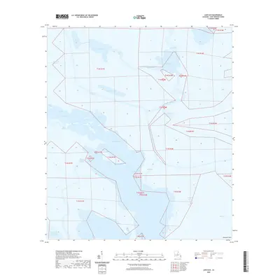 2020 Lake Eloi2020 Print · USGSThe coastal marshlands of Saint Bernard Parish are captured here in the years following the closure of major shipping channels. You can trace the intricate network of Bayou la Loutre, find landmarks like Deadman Island, and study the legacy of maritime engineering at Engineers Canal.
 - 2020 Map of Lake Athanasio, 2020 Print
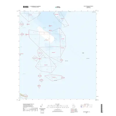 2020 Lake Athanasio2020 Print · USGSThe coastal wetlands of St. Bernard Parish are shown here in the 2020s, dominated by tidal bays and dredging projects. Researchers can trace the path of the Mississippi River-Gulf Outlet Canal past Lake Athanasio, Gardner Island, and Deadman Island.
Showing maps 1-25 of 96
Top cities of Saint Bernard Parish
Frequently asked questions
- What are the different types of historical maps available for Saint Bernard Parish?
- What is the oldest map of Saint Bernard Parish?
- Where can I purchase historical maps of Saint Bernard Parish for my home or office?
- Where can I download high-res historical maps of Saint Bernard Parish?
- Are there historical topographic maps available for Saint Bernard Parish?
- Is there historical aerial imagery available for Saint Bernard Parish?
- Where are historical maps of Saint Bernard Parish sourced from?