2010s Maps of Washington Parish, Louisiana
Explore 66 historic maps of Washington Parish from the 2010s. These maps offer a rare glimpse into what life looked like during the 2010s — showing old roads, neighborhoods, homes, and landmarks that have changed or disappeared over time.
Whether you're researching your family's past, planning a metal detecting trip, or studying how Washington Parish's landscape evolved across the 2010s, these high-resolution maps are a powerful tool for exploring the history of this region.
- Focus on a specific era: All maps on this page are from the 2010s, giving you a focused view of this time period.
- See what’s changed: Compare century-old streets, trails, and buildings to today's modern landscape using overlays and satellite layers.
- Research with precision: Use these maps for genealogy, historical research, land use analysis, or educational projects.
- View, download, or print: Maps are fully viewable online in high resolution, and can be downloaded or printed for your own records.
Start exploring Washington Parish's history through authentic maps from the 2010s. This is your window into the past.
Washington Parish, LA maps
(66)- 2012 Map of Bogalusa West, 2012 Print
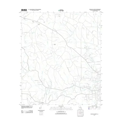 2012 Bogalusa West2012 Print · USGSWashington Parish at the start of the 2010s was a landscape of timbered tracts and quiet rural settlements centered around Plainview. Genealogists and local researchers can trace family lands near Jacksonville Springs or locate rural burial sites at Sheridan Cem and Corkem Cem.
 - 2012 Map of Sun, 2012 Print
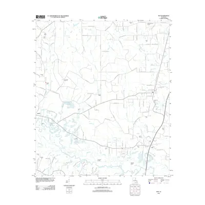 2012 Sun2012 Print · USGSNortheastern St. Tammany Parish is defined by the shifting channels of the Bogue Chitto in the early 2010s. Researchers can locate numerous family cemeteries like Mizell Cem and Magee Cem or trace the river islands of Coopers Island and Holdens Island.
 - 2012 Map of Bogalusa East, 2012 Print
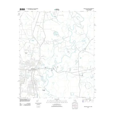 2012 Bogalusa East2012 Print · USGSBogalusa and the Pearl River valley are detailed here in the early twenty-first century. Researchers can trace family history through sites like Ponemah Cemetery and Miley Cemetery or locate the Richardson Landing and Piggott Crossing landmarks.
 - 2012 Map of Angie, 2012 Print
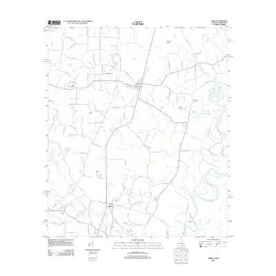 2012 Angie2012 Print · USGSWashington Parish near the Pearl River shows a landscape of timberlands and small communities in the early 2010s. Genealogists can trace numerous family burial sites including Rester Cem, Pierce Cem, and Old Fornea Cem, while landmarks like the Angle Lookout Tower mark the terrain.
 - 2012 Map of State Line, 2012 Print
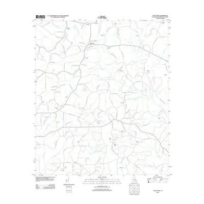 2012 State Line2012 Print · USGSThe Louisiana-Mississippi border comes into focus in the early twenty-first century, showing a rural Washington Parish landscape shaped by family-named roads and remote creek crossings. Genealogists can locate dozens of small burial sites such as Briarwood Cem, Crain Cem, and Pierce Cem.
 - 2012 Map of Mount Hermon, 2012 Print
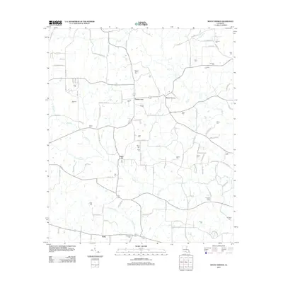 2012 Mount Hermon2012 Print · USGSLouisiana's north country comes alive in this modern survey of the communities near the Tchefuncte River. Genealogists and historians can trace family ties through dozens of local landmarks like Mount Hermon Cem, Sunny Hill, and the Sunny-Hill Lookout Tower.
 - 2012 Map of Franklinton, 2012 Print
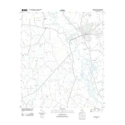 2012 Franklinton2012 Print · USGSFranklinton and the surrounding Washington Parish countryside are captured here in the early twenty-first century. Researchers can trace family sites at Bickham Cem and Magee Cem or follow the winding path of the Bogue Chitto.
 - 2012 Map of Sheridan, 2012 Print
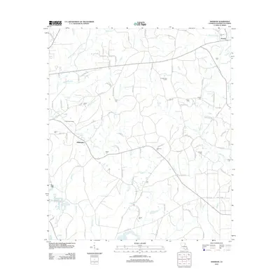 2012 Sheridan2012 Print · USGSIn the piney woods of Washington Parish during the early 2010s, rural life centered on small communities like Sheridan and Springhill. Genealogists can trace family roots through local landmarks such as Magee Cem, Spencer Cem, and Tison Cem.
 - 2012 Map of Folsom, 2012 Print
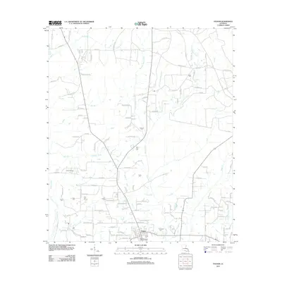 2012 Folsom2012 Print · USGSNorthern St. Tammany Parish comes into focus during the early twenty-first century, centered on the village of Folsom. Local historians can trace numerous family burial grounds and landmarks like Unicorn Airport, Hay Hollow Cem, and the headwaters of the Tchefuncte River.
 - 2012 Map of Enon, 2012 Print
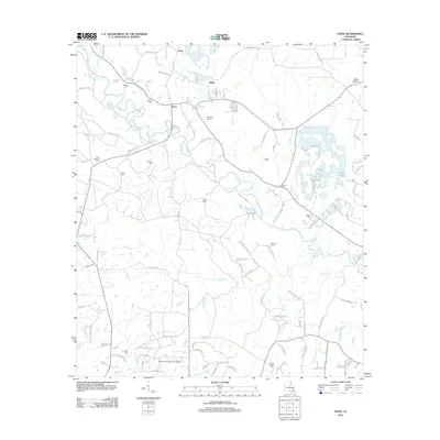 2012 Enon2012 Print · USGSWashington Parish in the early 2010s remains a landscape of river bends and family homesteads centered on the Bogue Chitto. Genealogists can trace decades of local history through sites like Magee Cem, Corkern Cem, and the Enon Lookout Tower.
 - 2012 Map of Pine, 2012 Print
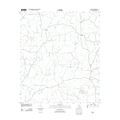 2012 Pine2012 Print · USGSNortheastern Washington Parish is captured here in the early twenty-first century, showing a rural landscape defined by its kinship networks and winding creeks. Researchers can locate numerous family burial sites and homesteads, from Payne Cem near Thomas to the Beard Cem on the banks of E Fork Burch Cr.
 - 2012 Map of Husser, 2012 Print
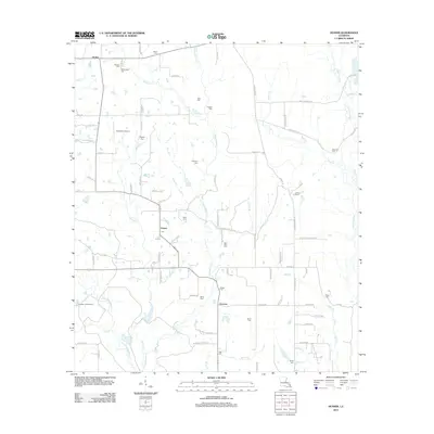 2012 Husser2012 Print · USGSTangipahoa Parish settlements and family cemeteries are documented here in the early twenty-first century. Genealogists can trace family names through sites like Saint Rock Cem and Olliphant Cem, while mapping the drainages of Chappepeela Cr and the Tchefuncte River.
 - 2012 Map of Dexter, 2012 Print
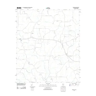 2012 Dexter2012 Print · USGSThe rural borderlands of Walthall County are captured here in the early twenty-first century, showing a landscape defined by oil fields and family cemeteries. Researchers can locate several burial sites like Centerville Cem and Carson Springs Cem near the Dexter Oil and Gas Field.
 - 2012 Map of Wilmer, 2012 Print
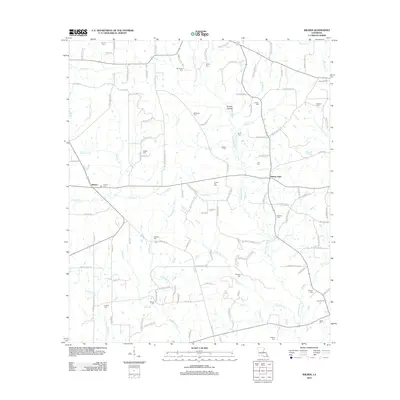 2012 Wilmer2012 Print · USGSTangipahoa Parish at the start of the 2010s reveals a deeply rooted rural landscape centered on the Tchefuncte River. Genealogists and local historians can trace family locations through numerous sites like Stoney Point, Brumfield Cem, and Sylvest Cem.
 - 2012 Map of Clifton, 2012 Print
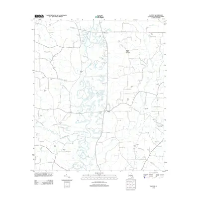 2012 Clifton2012 Print · USGSWashington Parish near the Mississippi border is documented here just after the turn of the decade, centered on the Bogue Chitto river system. Genealogists can trace decades of local history through dozens of named burial sites, including Star Hill Cem, Saint James Cem, and Brumfield Cem.
 - 2012 Map of Fords Creek, 2012 Print
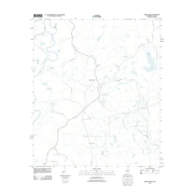 2012 Fords Creek2012 Print · USGSPearl River County in the early twenty-first century remains a landscape shaped by its namesake river and deep rural roots. Researchers can trace local landmarks and family-named roads such as Richie Cem, Fords Creek, and Hills of Sinai Rd.
 - 2012 Map of Henleyfield, 2012 Print
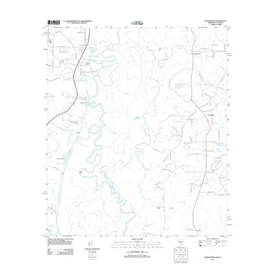 2012 Henleyfield2012 Print · USGSThe Pearl River valley comes into sharp focus in this early twenty-first century study of the Louisiana-Mississippi borderlands. Genealogists and local historians can locate several family cemeteries, including Duffys Cem and Sheridan Cem, alongside rural settlements like Henleyfield.
 - 2012 Map of Tylertown, 2012 Print
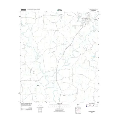 2012 Tylertown2012 Print · USGSTylertown and the surrounding Walthall County countryside are shown here in the early twenty-first century. Genealogists can trace family landmarks and burial sites across the landscape, from Founders Cemetery to the rural settlements of Lexie and Dillon.
 - 2012 Map of Progress, 2012 Print
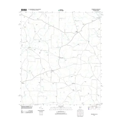 2012 Progress2012 Print · USGSSouthern Pike County at the start of the decade reveals a dense network of family-named settlements and landmarks near the Louisiana line. Genealogists can trace hundreds of family sites like Brumfield Cem, Simmonsville, and Bala Chitto Cem.
 - 2012 Map of Tylertown SE, 2012 Print
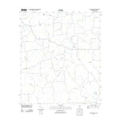 2012 Tylertown SE2012 Print · USGSSoutheast of Tylertown at the turn of the twenty-first century, this landscape is a patchwork of family homesteads and rural drainages. Researchers can trace ancestral sites through numerous family plots like Elisha Crawford Holmes Cem and small settlements like Kirklin or Flowers.
 - 2012 Map of Sandy Hook, 2012 Print
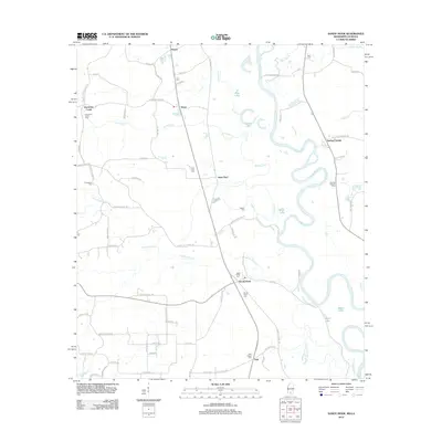 2012 Sandy Hook2012 Print · USGSSandy Hook and the surrounding Marion County bottomlands are documented here just after the turn of the millennium. Genealogists can trace family footprints through several local burial sites like Ford Chapel Cem and Pearl River Cem near Saint Paul.
 - 2012 Map of Baxterville SW, 2012 Print
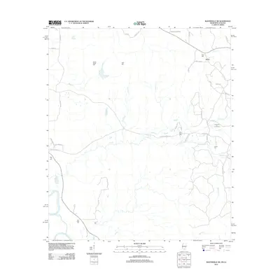 2012 Baxterville SW2012 Print · USGSThe borderlands of Mississippi and Louisiana are captured here during a period of active energy production and rural expansion. Researchers can trace family history through numerous landmarks including Rose Hill Cem, the settlement of Rouse, and the Baxterville Oil and Gas Field.
 - 2015 Map of Franklinton, 2015 Print
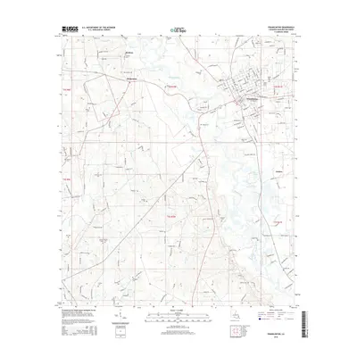 2015 Franklinton2015 Print · USGSLouisiana's Washington Parish is showcased here in the mid-2010s, centered on the historic hub of Franklinton along the Bogue Chitto river. Researchers can trace numerous family burial sites and rural settlements, including Stringfield Cem, Bickham, and Sylvest Cem.
 - 2015 Map of Enon, 2015 Print
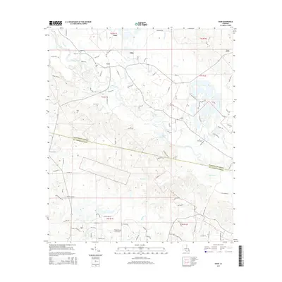 2015 Enon2015 Print · USGSWashington Parish and the upper reaches of St. Tammany Parish are shown here in the mid-2010s, centered on the Bogue Chitto river. Local researchers can trace family landmarks like Magee Cem and Corkern Cem, or locate rural airstrips such as The Place Airport.
 - 2015 Map of Folsom, 2015 Print
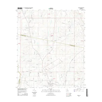 2015 Folsom2015 Print · USGSNorth of Lake Pontchartrain in the 2010s, this area of St. Tammany Parish shows a landscape shaped by the Bogue Falaya and its many prongs. Genealogists and local historians can locate numerous rural burial sites like Pierre Cem and Blackwell Cem near the town of Folsom.
Showing maps 1-25 of 66
Top cities of Washington Parish
Frequently asked questions
- What are the different types of historical maps available for Washington Parish?
- What is the oldest map of Washington Parish?
- Where can I purchase historical maps of Washington Parish for my home or office?
- Where can I download high-res historical maps of Washington Parish?
- Are there historical topographic maps available for Washington Parish?
- Is there historical aerial imagery available for Washington Parish?
- Where are historical maps of Washington Parish sourced from?