2020s Maps of Michigan
Explore 1,330 historic maps of Michigan from the 2020s. These maps offer a rare glimpse into what life looked like during the 2020s — showing old roads, neighborhoods, homes, and landmarks that have changed or disappeared over time.
Whether you're researching your family's past, planning a metal detecting trip, or studying how Michigan's landscape evolved across the 2020s, these high-resolution maps are a powerful tool for exploring the history of this region.
- Focus on a specific era: All maps on this page are from the 2020s, giving you a focused view of this time period.
- See what’s changed: Compare century-old streets, trails, and buildings to today's modern landscape using overlays and satellite layers.
- Research with precision: Use these maps for genealogy, historical research, land use analysis, or educational projects.
- View, download, or print: Maps are fully viewable online in high resolution, and can be downloaded or printed for your own records.
Start exploring Michigan's history through authentic maps from the 2020s. This is your window into the past.
Michigan maps
(1,330)- 2020 Map of Shingleton, 2020 Print
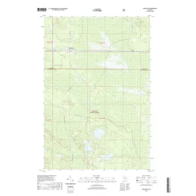 2020 Shingleton2020 Print · USGSCovers Michigan, including Star, Shingleton, and other nearby areas
 - 2022 Map of Long Lake NE, 2022 Print
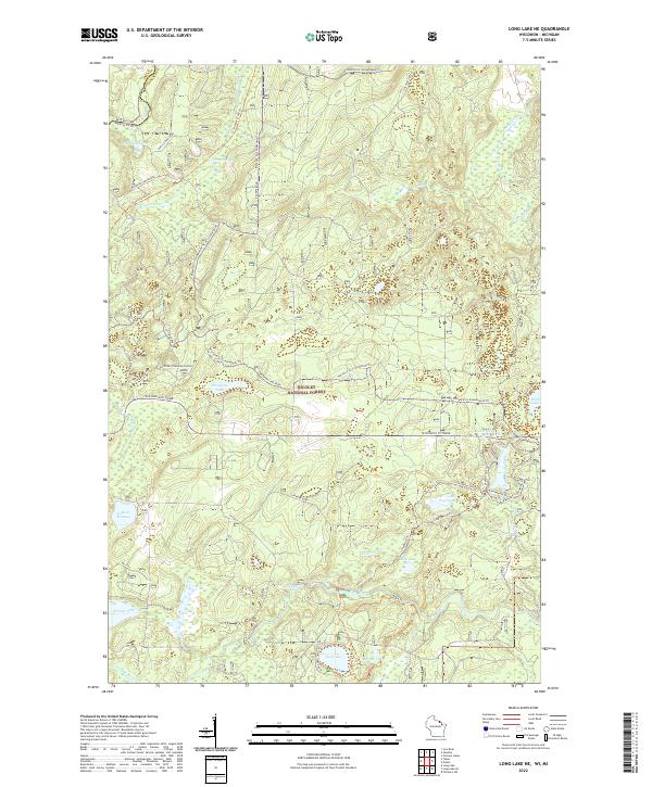 2022 Long Lake NE2022 Print · USGSThe Wisconsin-Michigan borderlands come into focus in this recent survey of the Florence County wilderness. Genealogists and outdoor historians can trace the legacy of Northwoods recreation and industry through landmarks like Chipmunk Rapids, the Nicolet State Trl, and Lake of Dreams.
 - 2022 Map of Marinette East, 2022 Print
 2022 Marinette East2022 Print · USGSThe twin border cities of the Menominee River estuary are shown here in detail during the early 2020s. Trace the urban development near the Menominee County Courthouse or explore the coastal features of Seagull Bar and Green Island.
 - 2022 Map of Washington Island NW, 2022 Print
 2022 Washington Island NW2022 Print · USGSThe northern tip of Wisconsin’s Door Peninsula is captured here in the early 2020s, showing the quiet settlement patterns of Washington Island. Researchers can trace local lineage through sites like Island Cem or explore the coast near Bowyer Bluff and Little Lake.
 - 2022 Map of Green Island, 2022 Print
 2022 Green Island2022 Print · USGSThe waters of the northern Great Lakes are captured in this modern survey, focusing on the isolated Green Island during the early twenty-first century. Researchers can trace the aquatic boundaries where Lake Michigan meets Green Bay at the junction of Door, Marinette, and Menominee counties.
 - 2022 Map of Tipler, 2022 Print
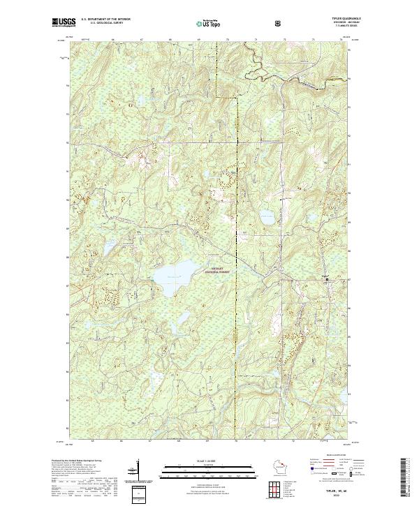 2022 Tipler2022 Print · USGSThe Northwoods of Wisconsin and Michigan's Upper Peninsula meet in this 2022 study of the Nicolet National Forest. Genealogists and historians can trace the community of Tipler, identifying locations like Tipler Cem and Martin Cem.
 - 2022 Map of Washington Island NE, 2022 Print
 2022 Washington Island NE2022 Print · USGSThe islands and passages of the Door County archipelago are documented here in the early twenty-first century. Researchers can trace land tracts near Jackson Harbor or locate the historic Saint Martin Island Cem on the northern islands.
 - 2022 Map of McAllister, 2022 Print
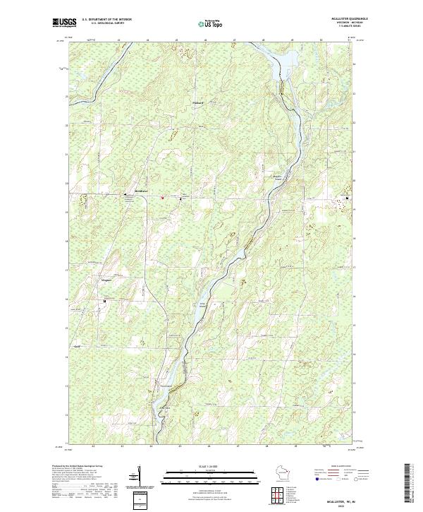 2022 McAllister2022 Print · USGSThe Menominee River border between Wisconsin and Michigan comes alive in this 2020s survey of the northern timberlands and rural settlements. Genealogists can locate family landmarks at Saint Edwards Cem or the Tabor Lutheran Cem and trace the old routes of McAllister and Goll.
 - 2022 Map of Chambers Island, 2022 Print
 2022 Chambers Island2022 Print · USGSChambers Island and the surrounding waters of Green Bay are shown in detail as they appeared in 2022. Researchers can trace the layout of the Chambers Island Airport and the small archipelago of the Strawberry Islands.
 - 2022 Map of Tenderfoot Lake, 2022 Print
 2022 Tenderfoot Lake2022 Print · USGSThe Wisconsin-Michigan border country near the turn of the 2020s is a landscape of glacial waters and protected timberlands. Genealogists and historians can trace shoreline developments and forest access roads around Tenderfoot Lake, Plum Lake, and High Lake.
 - 2022 Map of Land O' Lakes, 2022 Print
 2022 Land O' Lakes2022 Print · USGSThe Wisconsin-Michigan border country is captured here in recent detail, showing a landscape defined by glacial lakes and a deep network of forest trails. You can trace the shorelines of Duck Lake and Moon Lake, or locate regional hubs like Kings Land O' Lakes Airport.
 - 2022 Map of Iron Mountain SW, 2022 Print
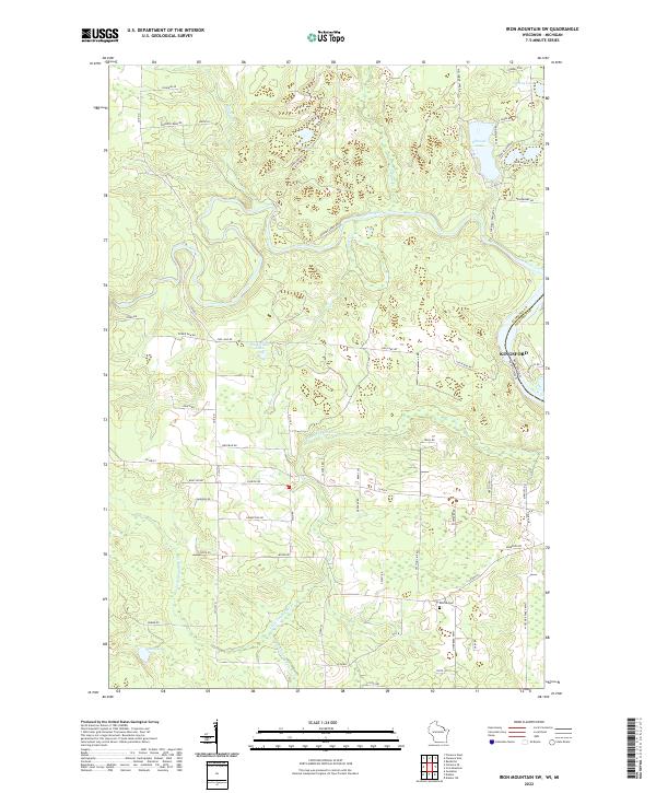 2022 Iron Mountain SW2022 Print · USGSFlorence County and the Michigan border are captured here in the early twenty-first century, showing a landscape of river valleys and glacial lakes. Genealogists can trace family footprints along Knutson Rd and Westman Rd near the Aurora Cem.
 - 2022 Map of Black Oak Lake, 2022 Print
 2022 Black Oak Lake2022 Print · USGSThe Wisconsin and Michigan borderlands are shown here in the 2020s, featuring a dense network of glacial lakes and forest trails. Local historians can locate Land O' Lakes Cem and Oak Hill Cem or trace routes around Whitefish Lake and Black Oak Lake.
 - 2022 Map of Presque Isle, 2022 Print
 2022 Presque Isle2022 Print · USGSWisconsin's lake country along the Michigan border is seen here in recent years, showing a landscape saturated with water and forest. Genealogists and historians can trace shoreline developments around Annabelle Lake, Armour Lake, and the local Presque Isle community.
 - 2022 Map of Florence East, 2022 Print
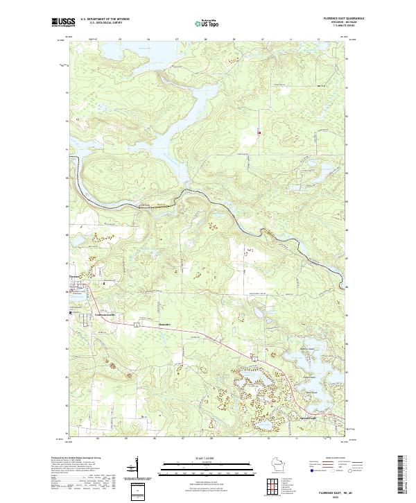 2022 Florence East2022 Print · USGSWisconsin’s Northwoods and the Michigan border meet at the junction of three major rivers in the early 2020s. Discover the layout of Florence and Commonwealth, or trace family roots at Woodlawn Cem and the Florence County Courthouse.
 - 2022 Map of Harris Lake, 2022 Print
 2022 Harris Lake2022 Print · USGSThe Northwoods along the Wisconsin-Michigan border are documented here in their modern state, centered on the protected wilderness of the Ottawa National Forest. Researchers and outdoorsmen can trace remote access points along Fisher Rd and identify the numerous glacial basins like Harris Lake and Twin Pups Lakes.
 - 2022 Map of Marinette West, 2022 Print
 2022 Marinette West2022 Print · USGSThe riverfront border between Wisconsin and Michigan comes into focus in this recent survey of the Twin Cities region. Genealogists and historians can trace numerous burial sites like Forest Home Cem and explore the area surrounding the Indian Mound.
 - 2022 Map of Wausaukee South, 2022 Print
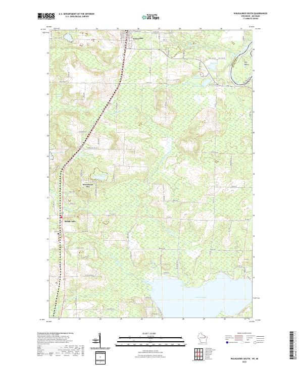 2022 Wausaukee South2022 Print · USGSMarinette County is shown in detail at the start of the 2020s, where the river-rich landscape of the Wisconsin-Michigan border unfolds. Genealogists and locals can trace family landmarks like Pine Hill Cem and the small settlements of Wausaukee and Sweetheart City.
 - 2022 Map of Chambers Island NW, 2022 Print
 2022 Chambers Island NW2022 Print · USGSCoastal Wisconsin and Michigan boundaries meet in these waters during the early twenty-first century, centered on the expanse of Green Bay. Local historians can trace the shoreline of Chambers Island and locate land features like Sand Point and Million Dollar Rd.
 - 2022 Map of Phelps, 2022 Print
 2022 Phelps2022 Print · USGSVilas County's lake-rich landscape and the village of Phelps are shown in detail during the early 2020s. Researchers can trace local landmarks like Military Hill and Phelps Cem alongside recreational routes like the Phelps Ski And Hiking Trl.
 - 2022 Map of Florence West, 2022 Print
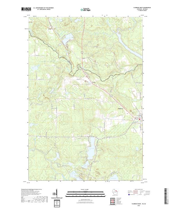 2022 Florence West2022 Print · USGSThe Wisconsin-Michigan border comes to life in the early 2020s, showing the intricate river systems and lakefront communities of Florence County. Researchers can trace local landmarks like Keyes Lake and Sea Lion Lake, or locate the settlements of Stager and Tyran.
 - 2022 Map of Pine Lake, 2022 Print
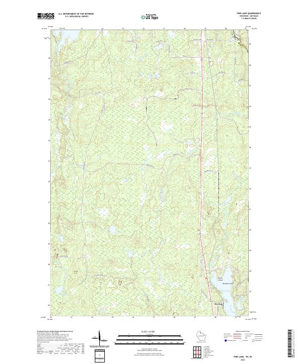 2022 Pine Lake2022 Print · USGSThe Wisconsin-Michigan border country near Iron County is captured here in the early twenty-first century. Researchers can trace lakeside developments at Pine Lake and find remote landmarks like Spring Cliff Falls or the small reaches of Little Pine Lake.
 - 2022 Map of Oronto Bay, 2022 Print
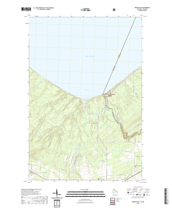 2022 Oronto Bay2022 Print · USGSAlong the shores of Lake Superior in the early 2020s, this area traces the border between Wisconsin and Michigan near the mouth of the Montreal River. Explore the coastal terrain around Saxon Harbor and locate the nearby Lake View Cemetery and the settlement of Cedar.
 - 2022 Map of Lake Evelyn, 2022 Print
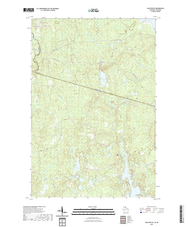 2022 Lake Evelyn2022 Print · USGSThe Wisconsin-Michigan border country comes alive in this survey of the lake-rich forests of Iron County and Gogebic County. Researchers can trace historic timber routes like Mosinee Grade Rd and find remote landmarks such as Lake Evelyn and Horseshoe Island.
 - 2022 Map of Pigeon Point OE E, 2022 Print
 2022 Pigeon Point OE E2022 Print · USGSLake Superior and the international border define this maritime reach during the early 2020s. Researchers can trace the water boundaries between Minnesota and Michigan near the northernmost extent of Isle Royale National Park.
Showing maps 1-25 of 1,330
Top cities of Michigan
- Detroit historical maps
- Grand Rapids historical maps
- Sterling Heights historical maps
- Warren historical maps
- Ann Arbor historical maps
- Lansing historical maps
See more
Top counties of Michigan
- Wayne County historical maps
- Oakland County historical maps
- Macomb County historical maps
- Kent County historical maps
- Genesee County historical maps
- Washtenaw County historical maps
See more
Frequently asked questions
- What are the different types of historical maps available for Michigan?
- What is the oldest map of Michigan?
- Where can I purchase historical maps of Michigan for my home or office?
- Where can I download high-res historical maps of Michigan?
- Are there historical topographic maps available for Michigan?
- Is there historical aerial imagery available for Michigan?
- Where are historical maps of Michigan sourced from?