2010s Maps of Cottonwood County, Minnesota
Explore 88 historic maps of Cottonwood County from the 2010s. These maps offer a rare glimpse into what life looked like during the 2010s — showing old roads, neighborhoods, homes, and landmarks that have changed or disappeared over time.
Whether you're researching your family's past, planning a metal detecting trip, or studying how Cottonwood County's landscape evolved across the 2010s, these high-resolution maps are a powerful tool for exploring the history of this region.
- Focus on a specific era: All maps on this page are from the 2010s, giving you a focused view of this time period.
- See what’s changed: Compare century-old streets, trails, and buildings to today's modern landscape using overlays and satellite layers.
- Research with precision: Use these maps for genealogy, historical research, land use analysis, or educational projects.
- View, download, or print: Maps are fully viewable online in high resolution, and can be downloaded or printed for your own records.
Start exploring Cottonwood County's history through authentic maps from the 2010s. This is your window into the past.
Cottonwood County, MN maps
(88)- 2010 Map of Heron Lake NW, 2010 Print
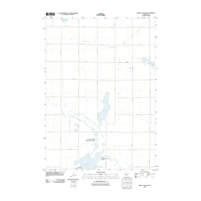 2010 Heron Lake NW2010 Print · USGSMurray County, Minnesota, at the start of the decade, shows a landscape shaped by glacial waters and agricultural persistence. Researchers can trace the winding Des Moines River and locate local landmarks like Emanuel Cemetery and Talcot Lake.
 - 2010 Map of Bingham Lake, 2010 Print
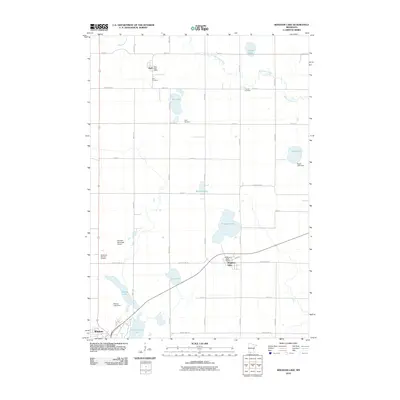 2010 Bingham Lake2010 Print · USGSCottonwood County at the start of the 2010s shows a landscape of productive prairie farms and growing lakeside communities. Genealogists can locate family plots at Delft Cemetery or Voth Cemetery, while tracking the rural economy through the Bingham Post Office and the Windom Municipal Airport.
 - 2010 Map of Dundee, 2010 Print
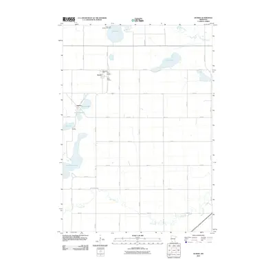 2010 Dundee2010 Print · USGSDundee and Kinbrae are captured here in the early twenty-first century, showing a classic Minnesota prairie landscape of lakes and section-line roads. Genealogists can locate family sites at First Lutheran Cemetery, Saint Marys Cemetery, or the Dundee Post Office.
 - 2010 Map of Harder Lake, 2010 Print
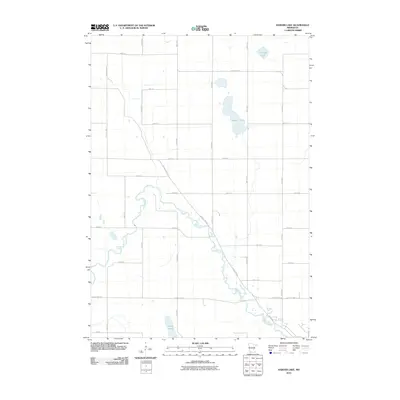 2010 Harder Lake2010 Print · USGSThe rural agricultural lands of Cottonwood County are captured here in the early twenty-first century, showing the intersection of river hydrology and township grids. Researchers can trace the path of the Des Moines River and locate water bodies like Harder Lake and Arnolds Lake.
 - 2010 Map of Windom, 2010 Print
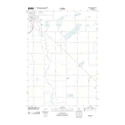 2010 Windom2010 Print · USGSWindom and its surrounding prairie lakes are shown here in the early twenty-first century as the city developed along the Des Moines River. Genealogists can locate family sites at Lakeview Cemetery and the Bethany Cemetery or trace landmarks like the Cottonwood County Fairgrounds.
 - 2010 Map of Heron Lake, 2010 Print
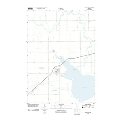 2010 Heron Lake2010 Print · USGSThe rural landscape of Jackson County is centered on the waters of Heron Lake during the early twenty-first century. Genealogists and local historians can trace the foundations of the community through sites like the Heron Lake Post Office and Lakeside Cemetery.
 - 2010 Map of Wilder, 2010 Print
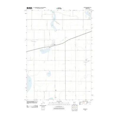 2010 Wilder2010 Print · USGSThe rural landscape around Wilder was characterized by its intricate wetlands and agricultural grid in the early twenty-first century. Genealogists can trace local family history through sites like Wilder Cemetery and the Wilder Post Office, or map the hydrology of Heron Lake and the String Lakes.
 - 2010 Map of Heron Lake NE, 2010 Print
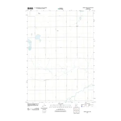 2010 Heron Lake NE2010 Print · USGSCottonwood County at the start of the 2010s shows a landscape defined by the Des Moines River and a network of glacial lakes. Genealogists can locate burial sites at Amo Cemetery and United Amo Cemetery or trace the drainage of Berry Lakebed.
 - 2010 Map of Storden, 2010 Print
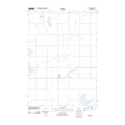 2010 Storden2010 Print · USGSThe town of Storden and the surrounding Minnesota prairie are captured here during the first decade of the 2000s. Researchers can locate family sites and local history at the Storden Post Office, Old Westbrook Cemetery, and Hurricane Lake.
 - 2010 Map of Darfur, 2010 Print
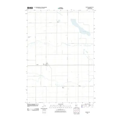 2010 Darfur2010 Print · USGSDarfur and the surrounding Minnesota prairie are documented here just after the first decade of the new millennium. Family historians can locate several rural burial sites such as Haseman Post Cemetery and Salem Cemetery alongside the banks of the Watonwan River.
 - 2010 Map of Butterfield, 2010 Print
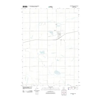 2010 Butterfield2010 Print · USGSButterfield and the surrounding prairie of Watonwan County are shown in detail as the first decade of the millennium drew to a close. Genealogists and local researchers can locate family sites near the Mennonite Cemetery, Sulem Lake, and the Butterfield Cemetery.
 - 2010 Map of Mountain Lake SE, 2010 Print
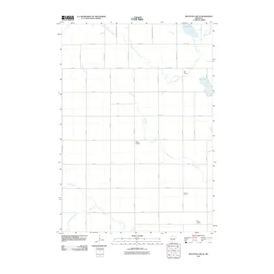 2010 Mountain Lake SE2010 Print · USGSMartin County is captured here at the start of the 2010s, showcasing a meticulously surveyed agricultural landscape defined by its prairie creeks and early cemeteries. Researchers can trace family ties at Saint Olaf Cemetery or follow the banks of the South Fork Watonwan River and Cedar Creek.
 - 2010 Map of Walnut Grove, 2010 Print
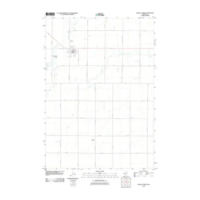 2010 Walnut Grove2010 Print · USGSWalnut Grove and the surrounding prairie lands appear in great detail during the early twenty-first century. Genealogists and local historians can trace the town's footprint, locate the Walnut Grove Post Office, and find rural burial sites like Saint Olaf Cemetery.
 - 2010 Map of Jeffers, 2010 Print
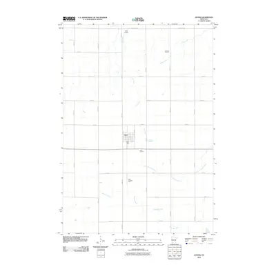 2010 Jeffers2010 Print · USGSThe town of Jeffers and its surrounding Cottonwood County farmsteads are documented in this recent survey. Local historians can trace family ties at Saint Johns Cemetery or locate the site of the Ewen Landing Field and Jeffers Post Office.
 - 2010 Map of Westbrook, 2010 Print
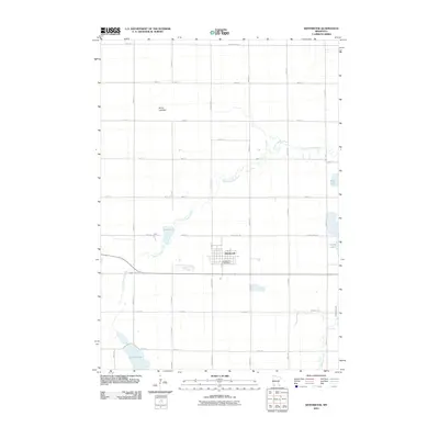 2010 Westbrook2010 Print · USGSThe township of Westbrook and its surrounding prairie lakelands are captured here during the first decade of the millennium. Genealogists and local researchers can trace the rural grid between Westbrook's Post Office, Lake Julia, and Bean Lake.
 - 2010 Map of Sanborn NE, 2010 Print
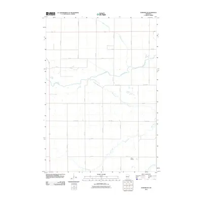 2010 Sanborn NE2010 Print · USGSBrown County's fertile prairie and river valleys appear in meticulous detail at the start of the 21st century. Genealogists and local historians can trace the rural landscape surrounding the Christ Lutheran Cemetery and the waters of Mound Creek.
 - 2010 Map of Comfrey, 2010 Print
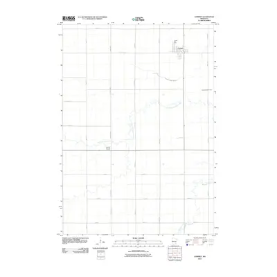 2010 Comfrey2010 Print · USGSThe agricultural plains surrounding Comfrey are documented here in the early twenty-first century. Researchers can trace local genealogy and land use through landmarks like the Christian Reformed Cemetery, Congregational Cemetery, and the Comfrey Post Office.
 - 2010 Map of Lamberton, 2010 Print
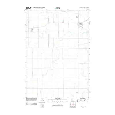 2010 Lamberton2010 Print · USGSLamberton and Revere stand at the center of this Minnesota prairie landscape in the early twenty-first century. Genealogists can locate family sites near Saint Joseph Cemetery or trace the meandering paths of Cottonwood River and Dutch Charley Creek.
 - 2010 Map of Mountain Lake, 2010 Print
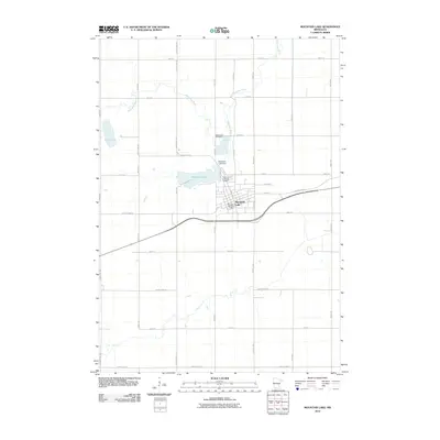 2010 Mountain Lake2010 Print · USGSSouthern Minnesota farmland surrounds the city of Mountain Lake in this 2010 study. Genealogists can trace local roots at the Mennonite Cemetery and Saint John's Lutheran Cemetery, or locate the Mountain Lake Dam along the Watonwan River.
 - 2010 Map of Sanborn, 2010 Print
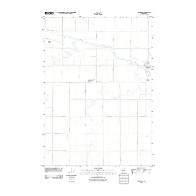 2010 Sanborn2010 Print · USGSSanborn and the surrounding Redwood County farmland are captured in detail during the early twenty-first century. Genealogists can trace family footprints at the Germantown Evangelical United Methodist Cemetery and locate landmarks like the Sanborn Post Office near the Cottonwood River.
 - 2010 Map of Sanborn SE, 2010 Print
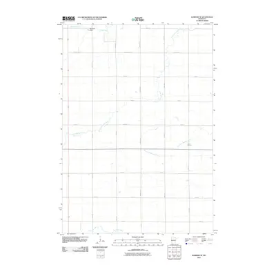 2010 Sanborn SE2010 Print · USGSSouthern Brown County's rural township landscape is documented here in the early twenty-first century as the prairie river systems remain unchanged. Genealogists and researchers can locate the Delton Cemetery and trace the paths of the Little Cottonwood River and North Fork Watonwan River.
 - 2010 Map of Bergen, 2010 Print
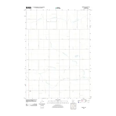 2010 Bergen2010 Print · USGSBergen and the surrounding Jackson County farmland are captured here in the early twenty-first century, showing the enduring grid of section roads and river valleys. Researchers can locate Hauges Cemetery and trace the winding courses of the South Fork Watonwan River and Elm Creek.
 - 2013 Map of Jeffers, 2013 Print
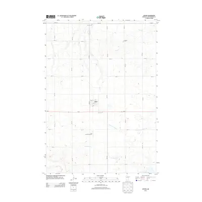 2013 Jeffers2013 Print · USGSThe rural agricultural landscape of Cottonwood County is captured here in the early twenty-first century, centered on the village of Jeffers. Researchers can locate local landmarks like Saint Johns Cem, Red Rock Cem, and the headwaters of the Watonwan River.
 - 2013 Map of Darfur, 2013 Print
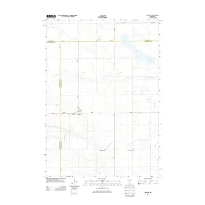 2013 Darfur2013 Print · USGSDarfur and the surrounding prairie are mapped here in the early 2010s at the junction of three Minnesota counties. Genealogists can trace several local burial sites, including the Haseman Post Cem, Salem Cem, and the First Mennonite Cem.
 - 2013 Map of Westbrook, 2013 Print
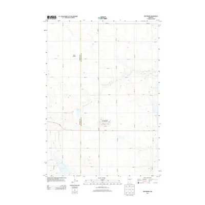 2013 Westbrook2013 Print · USGSWestbrook and the surrounding prairie of Cottonwood County are documented here in the early twenty-first century. Researchers can trace property access via the rural road grid or locate specific water features like Dutch Charley Cr and Lake Louisa.
Showing maps 1-25 of 88
Top cities of Cottonwood County
- Windom historical maps
- Mountain Lake historical maps
- Jeffers historical maps
- Storden historical maps
- Bingham Lake historical maps
Frequently asked questions
- What are the different types of historical maps available for Cottonwood County?
- What is the oldest map of Cottonwood County?
- Where can I purchase historical maps of Cottonwood County for my home or office?
- Where can I download high-res historical maps of Cottonwood County?
- Are there historical topographic maps available for Cottonwood County?
- Is there historical aerial imagery available for Cottonwood County?
- Where are historical maps of Cottonwood County sourced from?