2020s Maps of Marshall County, Minnesota
Explore 59 historic maps of Marshall County from the 2020s. These maps offer a rare glimpse into what life looked like during the 2020s — showing old roads, neighborhoods, homes, and landmarks that have changed or disappeared over time.
Whether you're researching your family's past, planning a metal detecting trip, or studying how Marshall County's landscape evolved across the 2020s, these high-resolution maps are a powerful tool for exploring the history of this region.
- Focus on a specific era: All maps on this page are from the 2020s, giving you a focused view of this time period.
- See what’s changed: Compare century-old streets, trails, and buildings to today's modern landscape using overlays and satellite layers.
- Research with precision: Use these maps for genealogy, historical research, land use analysis, or educational projects.
- View, download, or print: Maps are fully viewable online in high resolution, and can be downloaded or printed for your own records.
Start exploring Marshall County's history through authentic maps from the 2020s. This is your window into the past.
Marshall County, MN maps
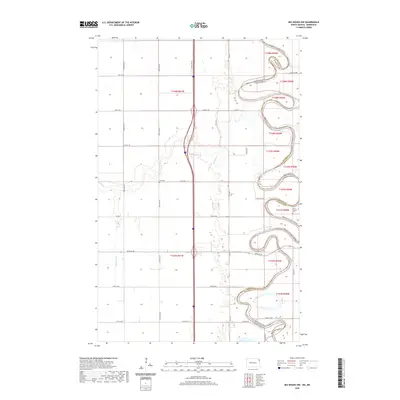
(59)- 2020 Map of Big Woods SW, 2020 Print
 2020 Big Woods SW2020 Print · USGSCovers Marshall County, including Walsh County, United States, and other nearby areas
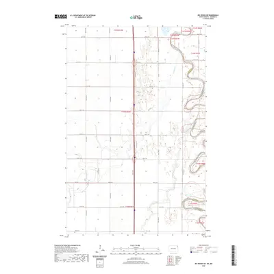
 - 2020 Map of Big Woods NW, 2020 Print
 2020 Big Woods NW2020 Print · USGSCovers Marshall County, including Walsh County, United States, and other nearby areas
 - 2020 Map of Drayton, 2020 Print
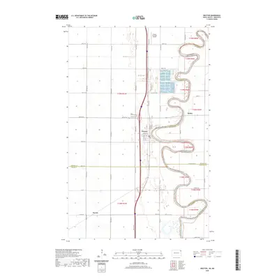 2020 Drayton2020 Print · USGSCovers Marshall County, including Drayton, Robbin, and other nearby areas
 - 2022 Map of Big Woods, 2022 Print
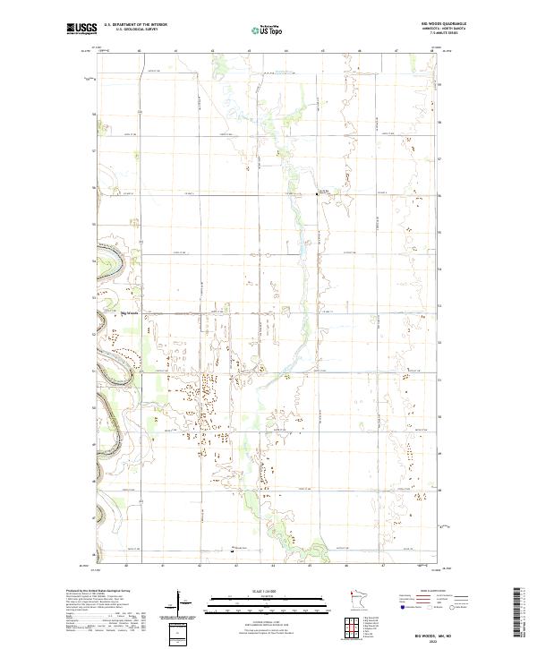 2022 Big Woods2022 Print · USGSThe Marshall County prairie is shown here during its modern agricultural era, bordered by the winding Red River. Genealogists can locate family landmarks like the North Big Woods Cem and Big Woods Cem near the banks of the Snake River.
 - 2022 Map of Grygla NE, 2022 Print
 2022 Grygla NE2022 Print · USGSBeltrami and Marshall counties are documented here in the early twenty-first century, showing a landscape shaped by water and timber trails. Researchers can locate the Northwood Cem or trace the routes of the Fourtown-Grygla Trail System Trl and Moose River.
 - 2022 Map of Kennedy SE, 2022 Print
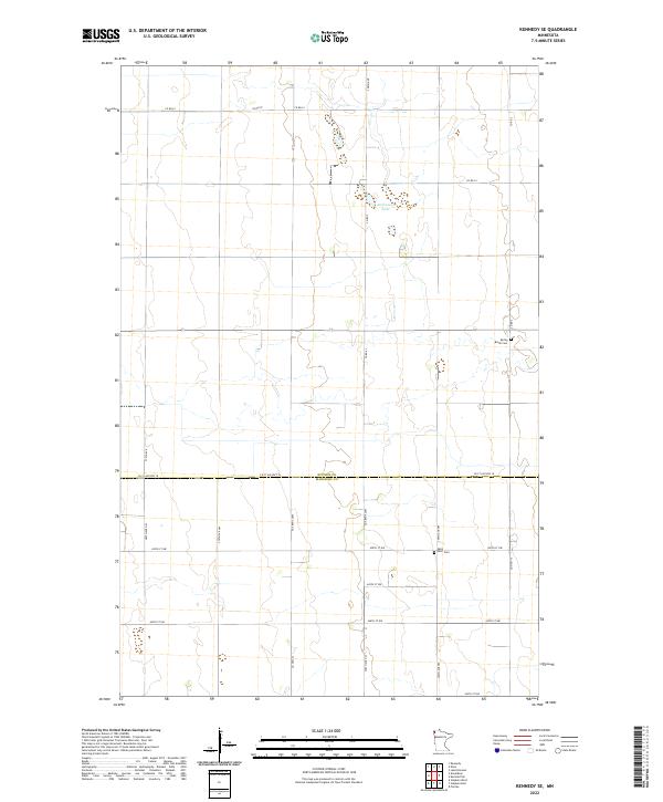 2022 Kennedy SE2022 Print · USGSKittson and Marshall counties are shown in this recent survey of the Minnesota prairie, documenting the rural landscape south of Kennedy. Genealogists can locate family burial sites at Spring Brook Cem and Saint Petri Cem or trace property near Andreason Lake.
 - 2022 Map of Ellerth, 2022 Print
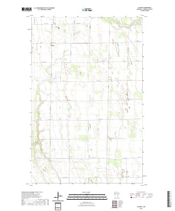 2022 Ellerth2022 Print · USGSThe rural prairie landscape near Ellerth is mapped here in the early 2020s, showing the intersection of natural waterways and agricultural engineering. Family historians can locate Bethania Cem and Bethesda Cem along the Snake River.
 - 2022 Map of Florian SE, 2022 Print
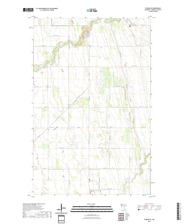 2022 Florian SE2022 Print · USGSMarshall County's agricultural heartland is documented here in the early twenty-first century, showing a landscape shaped by river systems and historical transit. Researchers can trace the Pembina Trial and locate family burial grounds at Nyed Cem and Comstock Cem.
 - 2022 Map of Viking, 2022 Print
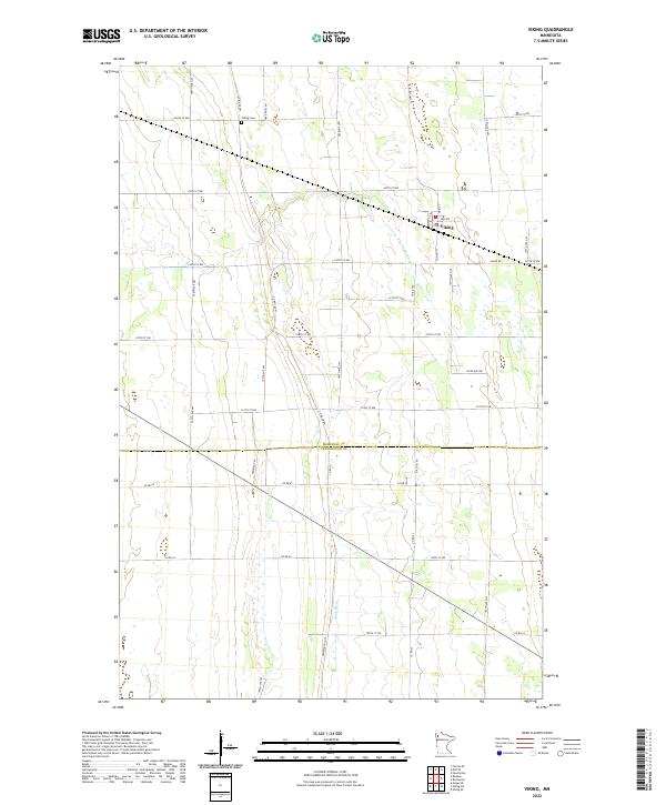 2022 Viking2022 Print · USGSThe rural agricultural lands of Marshall and Pennington Counties are captured here in the early 2020s. Researchers can trace the historical route of the Pembina Trl and locate local landmarks like the Viking Cem and the waters of the Black River.
 - 2022 Map of Gatzke SE, 2022 Print
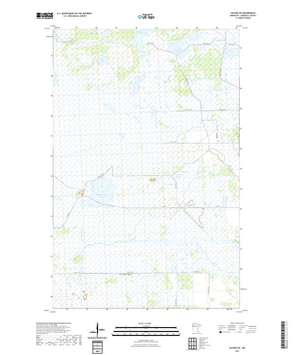
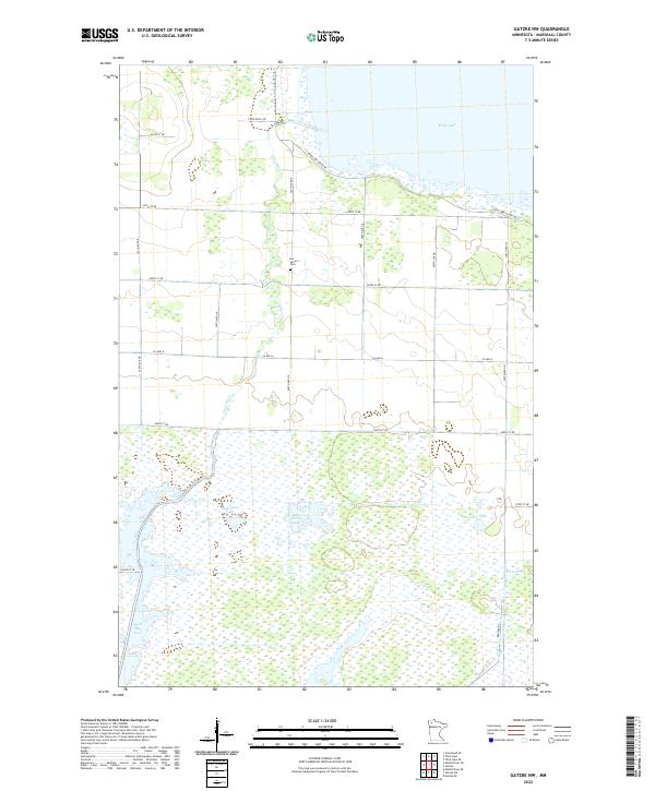
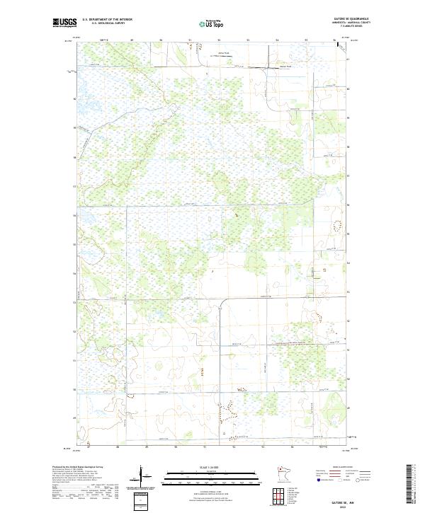 2022 Gatzke SE2022 Print · USGSMarshall County's marshy interior is shown here in the early 2020s, dominated by the winding paths of the Mud River and Lost River. Researchers can trace remote access routes like the Consolidated Conservation Trails Trl and locate local landmarks such as Arthur Field.
 - 2022 Map of Roan, 2022 Print
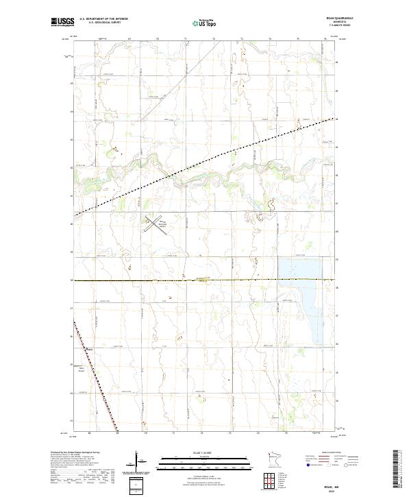 2022 Roan2022 Print · USGSThe Marshall and Polk County border comes alive in this contemporary survey of the Minnesota prairie. Researchers can trace the winding Snake River and locate local landmarks like the Roan Airport and Warren Municipal Airport.
 - 2022 Map of Pelan SE, 2022 Print
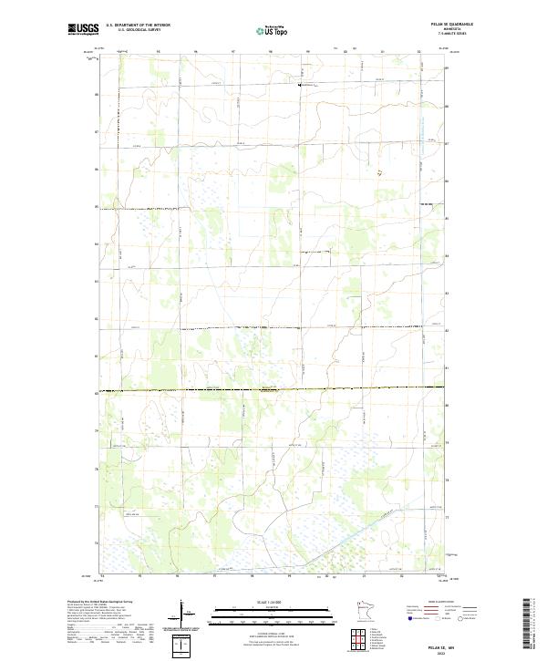 2022 Pelan SE2022 Print · USGSThe Minnesota prairie near the Roseau and Marshall county line is captured here in the early twenty-first century. Researchers can locate the Bethlehem Cem and trace the complex drainage network of Lateral Ditch Number Nine and Judicial Ditch Number Nineteen.
 - 2022 Map of Thief Lake, 2022 Print
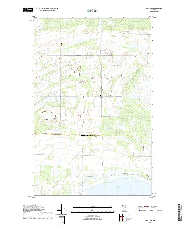 2022 Thief Lake2022 Print · USGSThe marshy lowlands of northern Minnesota are captured here at the boundary of Roseau and Marshall counties. Researchers can locate remote burial sites like Klondike Church Cem and Gust National Cem near the shores of Thief Lake.
 - 2022 Map of Middle River SE, 2022 Print
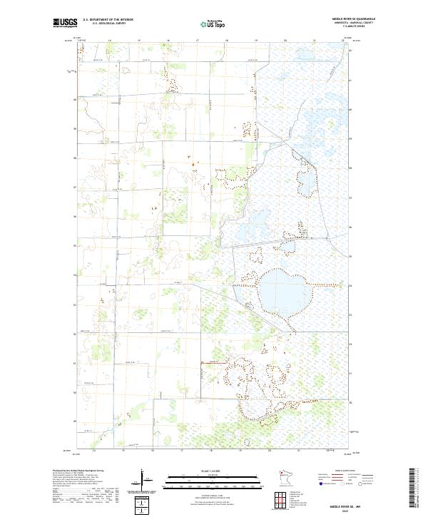 2022 Middle River SE2022 Print · USGSMarshall County's wetland landscape is captured here in the contemporary era, showing the intersection of agriculture and conservation. Trace the winding course of the Thief River or locate remote access points like the Rodahl Trl and Northwest Pool.
 - 2022 Map of Mavie, 2022 Print
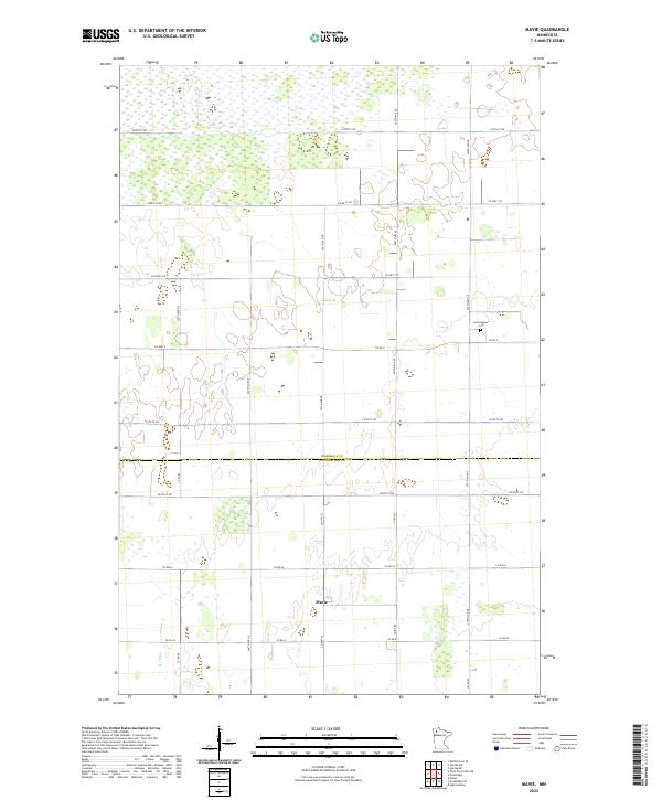 2022 Mavie2022 Print · USGSMarshall and Pennington counties meet in this rural landscape at the start of the 2020s. Genealogists and local historians can locate the Germantown Cem and trace the small settlement of Mavie along the section-line roads of Co Rd 64.
 - 2022 Map of Gatzke SW, 2022 Print
 2022 Gatzke SW2022 Print · USGSIn the remote wetlands of Marshall County, this recent survey shows a landscape dedicated to wildlife habitat and water management. Researchers can trace the boundaries of Whisky Lake, Middle CCC Pool, and the management roads like Refuge Rd that cross this boggy terrain.
 - 2022 Map of Florian NE, 2022 Print
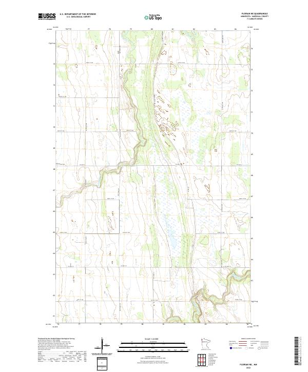 2022 Florian NE2022 Print · USGSIn the early twenty-first century, this Marshall County landscape remains defined by its prairie rivers and section roads. Genealogists can locate Assumption Cem while tracing the winding courses of the Tamarac River and Middle River.
 - 2022 Map of Gatzke NW, 2022 Print
 2022 Gatzke NW2022 Print · USGSMarshall County's wetland landscape is captured here in the early twenty-first century, showcasing a region defined by water and wildlife. Researchers can trace the Thief River through West Olson Lake and locate local landmarks like Our Savior's Cem.
 - 2022 Map of Twistal Swamp, 2022 Print
 2022 Twistal Swamp2022 Print · USGSNorthwestern Minnesota's drainage and settlement patterns are preserved here as they appeared in the 2020s. Researchers can locate Zion Cem and trace the engineered courses of State Ditch Number Ninety and the Tamarac River.
 - 2022 Map of Florian, 2022 Print
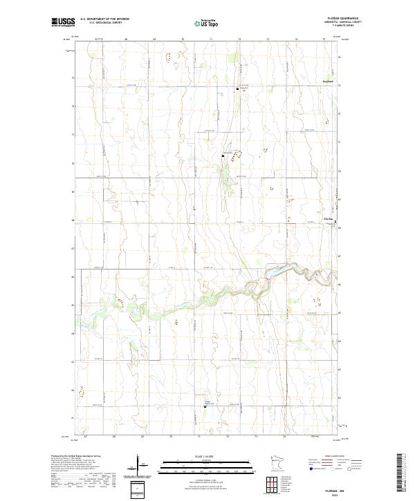 2022 Florian2022 Print · USGSMarshall County's agricultural landscape is documented here in the early twenty-first century, showing the rural communities of the Red River Valley. Researchers can locate family roots at Wanger Baptist Cem, trace the winding Tamarac River, or explore the small settlement at Florian.
 - 2022 Map of Stephen West, 2022 Print
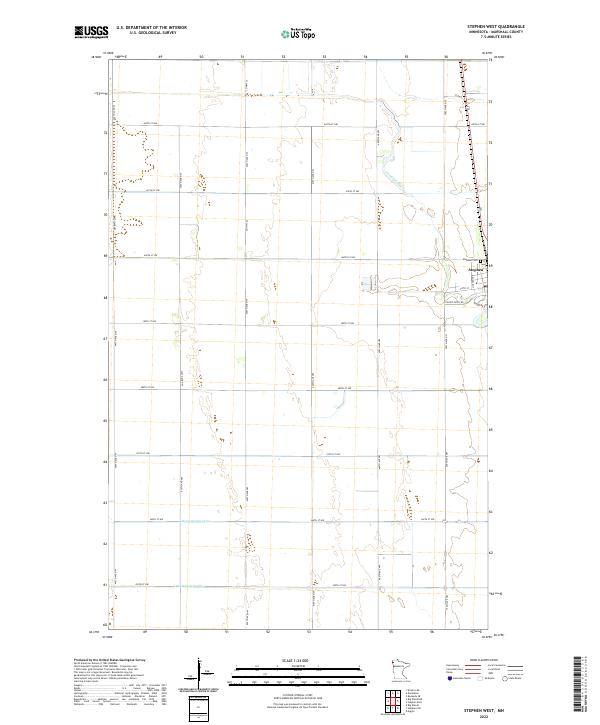 2022 Stephen West2022 Print · USGSMarshall County's agricultural heartland is documented here in the early twenty-first century, showing the intersection of town life and rural drainage. Genealogists and local historians can trace the western outskirts of Stephen and follow the paths of the Tamarac River and Lateral Number One.
 - 2022 Map of Randen Ridge, 2022 Print
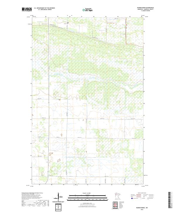 2022 Randen Ridge2022 Print · USGSMarshall County's northern wetlands and low ridges are captured here in the early twenty-first century. Genealogists and outdoor enthusiasts can locate Randen Cem near the Randen Ridge and trace the winding course of the Moose River.
 - 2022 Map of Wannaska SW, 2022 Print
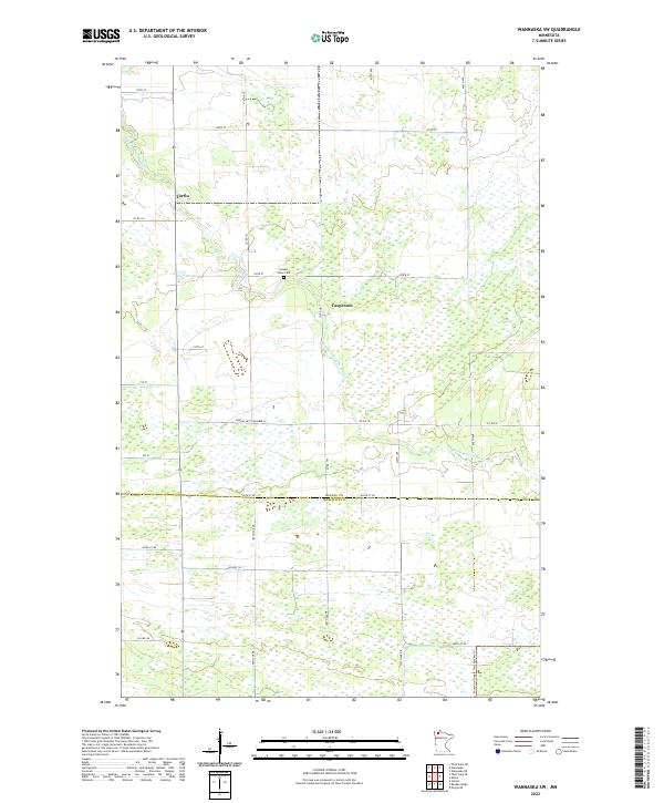 2022 Wannaska SW2022 Print · USGSWannaska's rural expanse in the early twenty-first century reveals a landscape shaped by the S Fork Roseau River and the county line. Trace the history of small settlements like Torfin or locate family roots at the Golden Valley Cem.
 - 2022 Map of Strathcona, 2022 Print
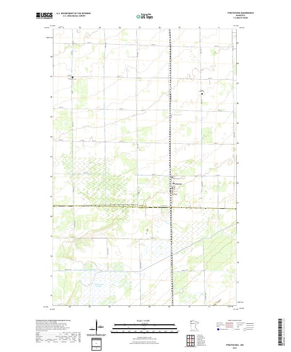 2022 Strathcona2022 Print · USGSStrathcona and the surrounding wetlands of Northwest Minnesota appear here in the early 2020s, showing a landscape defined by industrial agriculture and managed drainage. Researchers can trace the path of Judicial Ditch Number Nineteen or locate local burial sites like Bethlehem Cem and Poplar Grove Cem.
 - 2022 Map of Argyle, 2022 Print
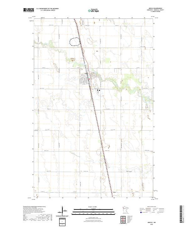 2022 Argyle2022 Print · USGSThe Red River Valley prairie surrounding Argyle is captured here in the early twenty-first century. Researchers can trace the town’s street grid and nearby cemeteries like Saint Rose Cem or locate the southern settlement of Luna near Swift Coulee.
Showing maps 1-25 of 59
Top cities of Marshall County
- Warren historical maps
- Stephen historical maps
- Argyle historical maps
- Alvarado historical maps
- Newfolden historical maps
- Oslo historical maps
See more
Frequently asked questions
- What are the different types of historical maps available for Marshall County?
- What is the oldest map of Marshall County?
- Where can I purchase historical maps of Marshall County for my home or office?
- Where can I download high-res historical maps of Marshall County?
- Are there historical topographic maps available for Marshall County?
- Is there historical aerial imagery available for Marshall County?
- Where are historical maps of Marshall County sourced from?