2010s Maps of Marshall County, Minnesota
Explore 221 historic maps of Marshall County from the 2010s. These maps offer a rare glimpse into what life looked like during the 2010s — showing old roads, neighborhoods, homes, and landmarks that have changed or disappeared over time.
Whether you're researching your family's past, planning a metal detecting trip, or studying how Marshall County's landscape evolved across the 2010s, these high-resolution maps are a powerful tool for exploring the history of this region.
- Focus on a specific era: All maps on this page are from the 2010s, giving you a focused view of this time period.
- See what’s changed: Compare century-old streets, trails, and buildings to today's modern landscape using overlays and satellite layers.
- Research with precision: Use these maps for genealogy, historical research, land use analysis, or educational projects.
- View, download, or print: Maps are fully viewable online in high resolution, and can be downloaded or printed for your own records.
Start exploring Marshall County's history through authentic maps from the 2010s. This is your window into the past.
Marshall County, MN maps
(221)- 2010 Map of Stephen East, 2010 Print
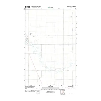 2010 Stephen East2010 Print · USGSMarshall County's agricultural prairie is documented here in the early twenty-first century as the Tamarac River winds past the town of Stephen. Family researchers can locate rural landmarks like Saint Stephen Cemetery and several historic schools including Lincoln School.
 - 2010 Map of Thief River Falls NW, 2010 Print
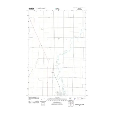 2010 Thief River Falls NW2010 Print · USGSPennington County at the start of the 2010s shows a landscape of steady agricultural patterns and rural intersections north of the city. Genealogists and local historians can trace the Thief River corridor, locate the Saint Bernard Cemetery, and identify the site of Dakota Junction.
 - 2010 Map of Thief Lake, 2010 Print
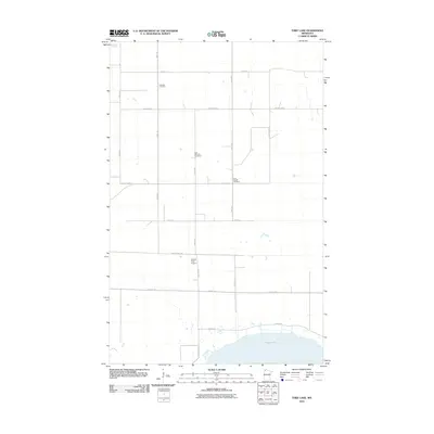 2010 Thief Lake2010 Print · USGSNorthern Minnesota's prairie and wetland landscape near the Canadian border is captured here during the first decade of the millennium. Genealogists can locate family burial sites at Klondike Cemetery and Gust National Cemetery, or trace the shoreline of Thief Lake.
 - 2010 Map of Grygla NE, 2010 Print
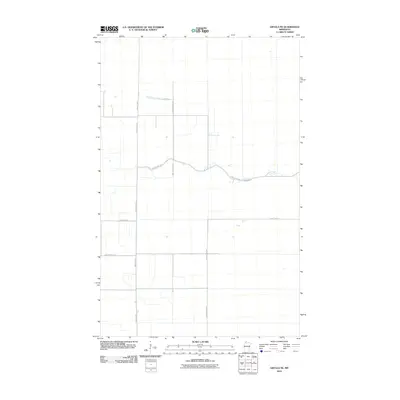 2010 Grygla NE2010 Print · USGSBeltrami County’s northern reaches appear here in the early twenty-first century, showing a landscape defined by isolated drainage and a rigid road grid. Genealogists can trace the rural connectivity provided by County Hwy-1 and the winding course of the Moose River.
 - 2010 Map of Radium, 2010 Print
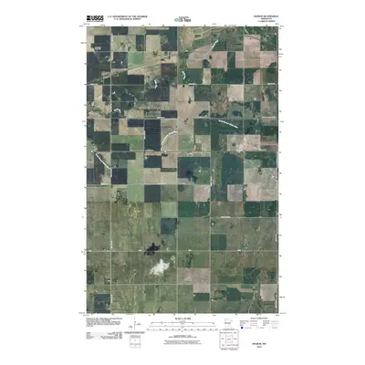 2010 Radium2010 Print · USGSThe rural landscape of Marshall County at the start of the 2010s is defined by its agricultural grid and the winding Snake River. Genealogists and local historians can locate the community of Radium and the nearby Immanuel Cemetery along the area's many section-line roads.
 - 2010 Map of Gatzke SE, 2010 Print
 2010 Gatzke SE2010 Print · USGSThe rural expanses of Marshall County are captured here in the early twenty-first century, showcasing a landscape of section-line roads and winding waterways. Genealogists and local historians can trace the paths of the Mud River and Lost River past landmarks like Arthur Field.
 - 2010 Map of Holt, 2010 Print
 2010 Holt2010 Print · USGSMarshall County agricultural life is captured here in the early twenty-first century, centered on the village of Holt. Researchers can trace local heritage through the locations of Ringbo Cemetery and Sandridge Cemetery or follow the path of Old Ridge Rd.
 - 2010 Map of Randen Ridge, 2010 Print
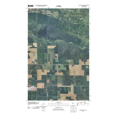 2010 Randen Ridge2010 Print · USGSMarshall County's rural landscape is captured here in the early twenty-first century, showing a region of managed farmland and prairie drainage. Genealogists can locate Randeen Cemetery along Ranson Ridge Rd or trace the winding course of the Moose River.
 - 2010 Map of Viking, 2010 Print
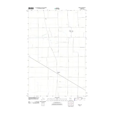 2010 Viking2010 Print · USGSViking and the surrounding Marshall County prairie are documented here during the early twenty-first century. Genealogists and local historians can trace family land near Viking Cemetery or locate the historic Pembina Trl corridor through Carpenters Corner.
 - 2010 Map of Florian NE, 2010 Print
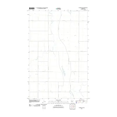 2010 Florian NE2010 Print · USGSIn Marshall County during the early twenty-first century, this landscape is defined by its deep agricultural roots and the winding paths of the Tamarac River and Middle River. Researchers can trace the geometric grid of local transit along Pembina Trl NW and County Hwy 114.
 - 2010 Map of Florian, 2010 Print
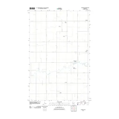 2010 Florian2010 Print · USGSNorthwestern Minnesota’s agricultural prairie is captured here at the start of the decade, centered on the Tamarac River and the rural community of Florian. Genealogists and local historians can locate Salem Lutheran Cemetery, School Number 55, and the settlement of Englund.
 - 2010 Map of Twistal Swamp, 2010 Print
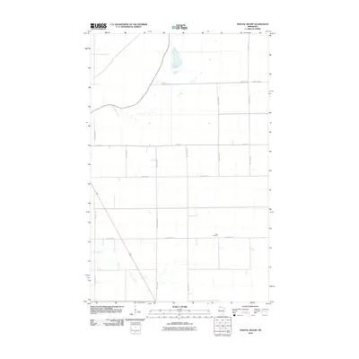 2010 Twistal Swamp2010 Print · USGSRoseau County's rural landscape is captured here in the early twenty-first century, showing a highly organized grid of township and county roads. Genealogists and local historians can locate Zion Cemetery and trace the path of the Tamarac River as it winds through the sections.
 - 2010 Map of Argyle, 2010 Print
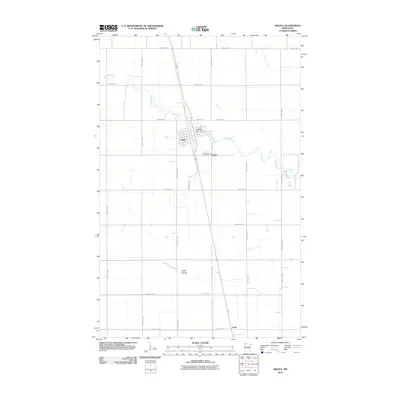 2010 Argyle2010 Print · USGSArgyle and the surrounding Marshall County prairie are captured in this 2010 survey, showcasing the town's riverfront development and rural transport network. Researchers can trace family history at Saint Rose Cemetery and Woodlawn Cemetery or locate the Middle River Dam.
 - 2010 Map of Thief Lake SE, 2010 Print
 2010 Thief Lake SE2010 Print · USGSRoseau County in the early twenty-first century is a landscape of expansive section-line roads and quiet river bends. Genealogists can locate rural burial sites such as Palmville Cemetery and Moose River Cemetery near the waters of Mickinock Creek.
 - 2010 Map of Mavie, 2010 Print
 2010 Mavie2010 Print · USGSPennington County’s agricultural heartland is captured here in the early twenty-first century, showing the small settlement of Mavie at a crossroads of rural commerce. Genealogists and local historians can locate the Germantown Cemetery and trace property access via County Hwy-52 and County Hwy-22.
 - 2010 Map of Thief River Falls NE, 2010 Print
 2010 Thief River Falls NE2010 Print · USGSPennington County at the start of the 2010s reveals a structured agricultural landscape shaped by the Thief River. Researchers can locate several rural burial sites including Satersdal Cemetery, Bethlehem Cemetery, and Silverton Cemetery.
 - 2010 Map of Newfolden, 2010 Print
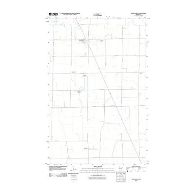 2010 Newfolden2010 Print · USGSNewfolden and the surrounding Marshall County prairies are shown here in the early twenty-first century as a well-ordered agricultural landscape. Genealogists can locate several family and community burial sites, including Augustana Cemetery, Bjorsness Cemetery, and Folden Cemetery.
 - 2010 Map of Goodridge, 2010 Print
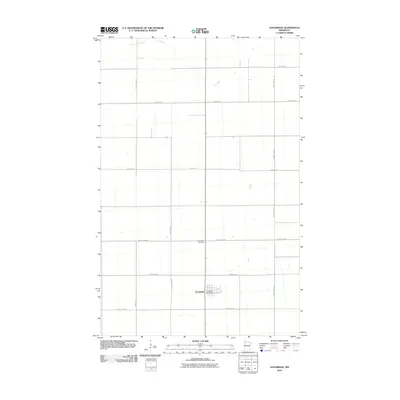 2010 Goodridge2010 Print · USGSPennington County at the turn of the millennium shows a landscape defined by the geometric precision of the northern prairie. Genealogists and local historians can pinpoint the Goodridge Post Office, the Goodridge Cemetery, and the meandering path of the Lost River.
 - 2010 Map of Alvarado, 2010 Print
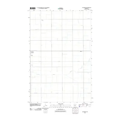 2010 Alvarado2010 Print · USGSAlvarado and the surrounding Marshall County prairie are captured here during a period of modern agricultural stability. Researchers can locate family roots at Oak Lawn Cemetery and Vega Cemetery, or trace the winding course of the Snake River through the grid.
 - 2010 Map of Karlstad, 2010 Print
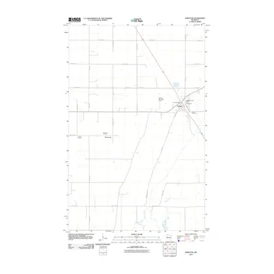 2010 Karlstad2010 Print · USGSKarlstad sits at a vital Kittson County crossroads in the early twenty-first century, anchored by its agricultural grid and the Tamarac River. Researchers can locate family sites at Pearson Cemetery, Lundeby Cemetery, or the small settlement of Deerwood.
 - 2010 Map of Wannaska SW, 2010 Print
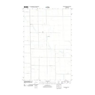 2010 Wannaska SW2010 Print · USGSNorthern Minnesota's agricultural heartland is documented here during the first decade of the millennium. Local researchers can trace family roots at Golden Valley Cemetery and locate early settlement points like Torfin and Casperson along the South Fork Roseau River.
 - 2010 Map of Middle River, 2010 Print
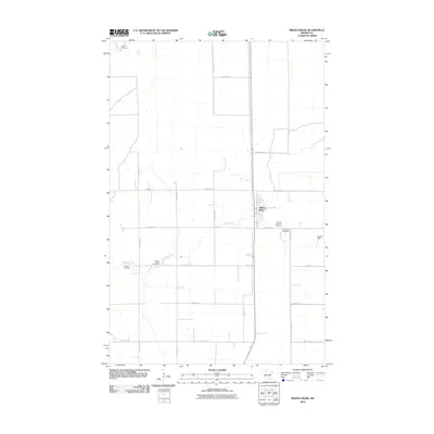 2010 Middle River2010 Print · USGSThe Marshall County plains surrounding the settlement of Middle River are captured here in the early twenty-first century. Genealogists can locate several historic burial grounds like Finnish Lutheran Cemetery and Spruce Valley Cemetery.
 - 2010 Map of Florian SW, 2010 Print
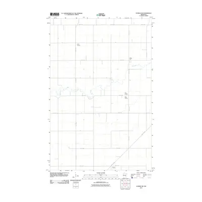 2010 Florian SW2010 Print · USGSMarshall County's rural township grids and river valleys are captured here in the early twenty-first century. Genealogists and local historians can locate specific community landmarks like Alma Lutheran Cemetery, School Number 13E, and the Great Eastern railroad.
 - 2010 Map of Greenbush SE, 2010 Print
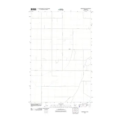 2010 Greenbush SE2010 Print · USGSRoseau County's rural township grids are preserved here in the first decade of the new millennium. Genealogists and local historians can locate Lorenson Cemetery and trace property boundaries along County Hwy-109 and 120th St.
 - 2010 Map of Erie NE, 2010 Print
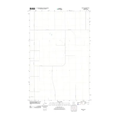 2010 Erie NE2010 Print · USGSBeltrami County in the early twenty-first century is defined by its rural road grid and isolated wetland pockets. Genealogists and land researchers can trace property access and local travel routes along Res Hwy 24 and County Hwy-42.
Showing maps 1-25 of 221
Top cities of Marshall County
- Warren historical maps
- Stephen historical maps
- Argyle historical maps
- Alvarado historical maps
- Newfolden historical maps
- Oslo historical maps
See more
Frequently asked questions
- What are the different types of historical maps available for Marshall County?
- What is the oldest map of Marshall County?
- Where can I purchase historical maps of Marshall County for my home or office?
- Where can I download high-res historical maps of Marshall County?
- Are there historical topographic maps available for Marshall County?
- Is there historical aerial imagery available for Marshall County?
- Where are historical maps of Marshall County sourced from?