2000s (21st Century) Maps of Marshall County, Minnesota
Explore 280 historic maps of Marshall County from the 2000s (21st Century). These maps offer a rare glimpse into what life looked like during the 2000s — showing old roads, neighborhoods, homes, and landmarks that have changed or disappeared over time.
Whether you're researching your family's past, planning a metal detecting trip, or studying how Marshall County's landscape evolved across the 2000s, these high-resolution maps are a powerful tool for exploring the history of this region.
- Focus on a specific era: All maps on this page are from the 2000s, giving you a focused view of this time period.
- See what’s changed: Compare century-old streets, trails, and buildings to today's modern landscape using overlays and satellite layers.
- Research with precision: Use these maps for genealogy, historical research, land use analysis, or educational projects.
- View, download, or print: Maps are fully viewable online in high resolution, and can be downloaded or printed for your own records.
Start exploring Marshall County's history through authentic maps from the 2000s. This is your window into the past.
Marshall County, MN maps
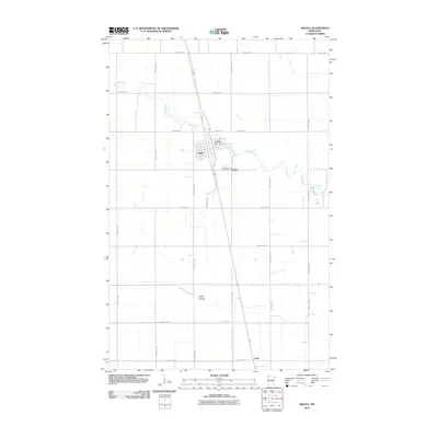
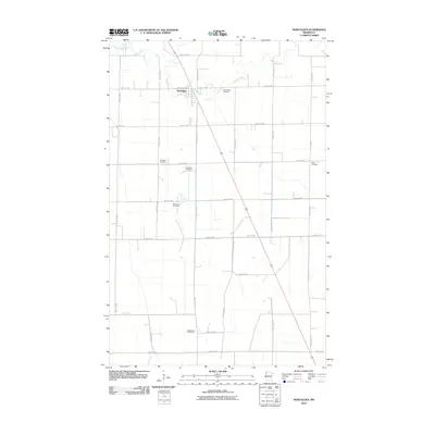
(280)- 2010 Map of Stephen East, 2010 Print
 2010 Stephen East2010 Print · USGSCovers Marshall County, including Stephen, United States, and other nearby areas
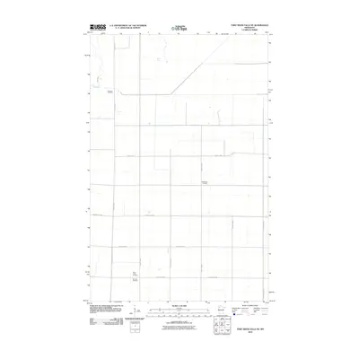
 - 2010 Map of Thief River Falls NW, 2010 Print
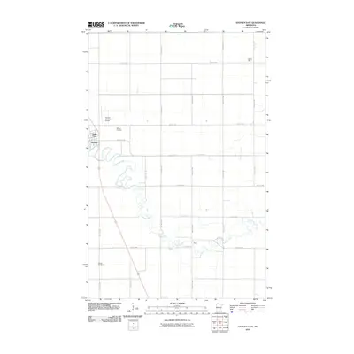
 2010 Thief River Falls NW2010 Print · USGSCovers Marshall County, including Thief River Falls, Dakota Junction, and other nearby areas
 - 2010 Map of Thief Lake, 2010 Print
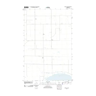 2010 Thief Lake2010 Print · USGSCovers Marshall County, including Roseau County, United States, and other nearby areas
 - 2010 Map of Grygla NE, 2010 Print
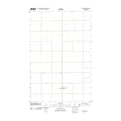
 2010 Grygla NE2010 Print · USGSCovers Marshall County, including Beltrami County, United States, and other nearby areas
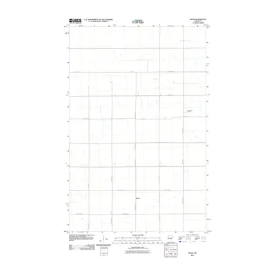
 - 2010 Map of Radium, 2010 Print
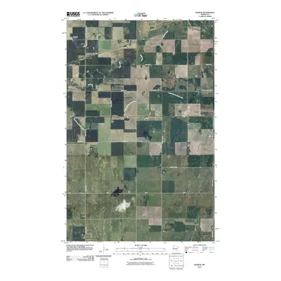 2010 Radium2010 Print · USGSCovers Marshall County, including Radium, Polk County, and other nearby areas
 - 2010 Map of Gatzke SE, 2010 Print
 2010 Gatzke SE2010 Print · USGSCovers Marshall County, including United States, Minnesota, and other nearby areas
 - 2010 Map of Holt, 2010 Print
 2010 Holt2010 Print · USGSCovers Marshall County, including Holt, United States, and other nearby areas
 - 2010 Map of Randen Ridge, 2010 Print
 2010 Randen Ridge2010 Print · USGSCovers Marshall County, including United States, Minnesota, and other nearby areas
 - 2010 Map of Viking, 2010 Print
 2010 Viking2010 Print · USGSCovers Marshall County, including Viking, Carpenters Corner, and other nearby areas
 - 2010 Map of Florian NE, 2010 Print
 2010 Florian NE2010 Print · USGSCovers Marshall County, including United States, Minnesota, and other nearby areas
 - 2010 Map of Florian, 2010 Print
 2010 Florian2010 Print · USGSCovers Marshall County, including Englund, Florian, and other nearby areas
 - 2010 Map of Twistal Swamp, 2010 Print
 2010 Twistal Swamp2010 Print · USGSCovers Marshall County, including Roseau County, Kittson County, and other nearby areas
 - 2010 Map of Argyle, 2010 Print
 2010 Argyle2010 Print · USGSCovers Marshall County, including Argyle, Luna, and other nearby areas
 - 2010 Map of Thief Lake SE, 2010 Print
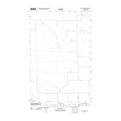 2010 Thief Lake SE2010 Print · USGSCovers Marshall County, including Roseau County, United States, and other nearby areas
 - 2010 Map of Mavie, 2010 Print
 2010 Mavie2010 Print · USGSCovers Marshall County, including Mavie, Pennington County, and other nearby areas
 - 2010 Map of Thief River Falls NE, 2010 Print
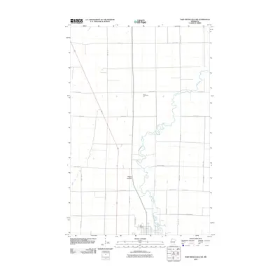
 2010 Thief River Falls NE2010 Print · USGSCovers Marshall County, including Pennington County, United States, and other nearby areas
 - 2010 Map of Newfolden, 2010 Print
 2010 Newfolden2010 Print · USGSCovers Marshall County, including Newfolden, United States, and other nearby areas
 - 2010 Map of Goodridge, 2010 Print
 2010 Goodridge2010 Print · USGSCovers Marshall County, including Goodridge, Goodridge, and other nearby areas
 - 2010 Map of Alvarado, 2010 Print
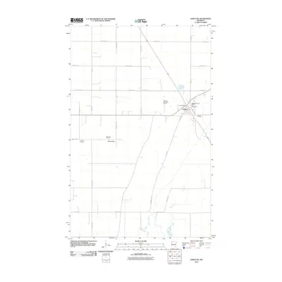
 2010 Alvarado2010 Print · USGSCovers Marshall County, including Alvarado, March, and other nearby areas
 - 2010 Map of Karlstad, 2010 Print
 2010 Karlstad2010 Print · USGSCovers Marshall County, including Karlstad, Deerwood, and other nearby areas
 - 2010 Map of Wannaska SW, 2010 Print
 2010 Wannaska SW2010 Print · USGSCovers Marshall County, including Torfin, Casperson, and other nearby areas
 - 2010 Map of Middle River, 2010 Print
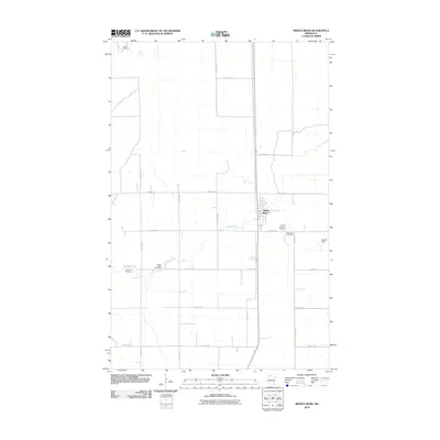 2010 Middle River2010 Print · USGSCovers Marshall County, including Middle River, United States, and other nearby areas
 - 2010 Map of Florian SW, 2010 Print
 2010 Florian SW2010 Print · USGSCovers Marshall County, including United States, Minnesota, and other nearby areas
 - 2010 Map of Greenbush SE, 2010 Print
 2010 Greenbush SE2010 Print · USGSCovers Marshall County, including Roseau County, United States, and other nearby areas
 - 2010 Map of Erie NE, 2010 Print
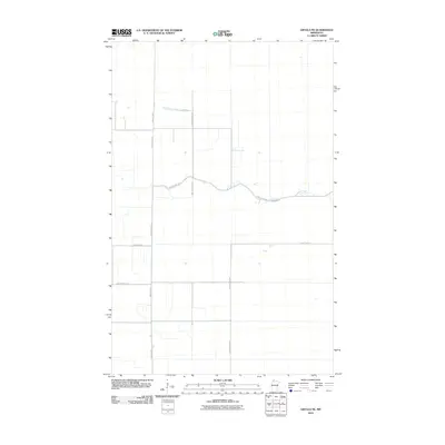
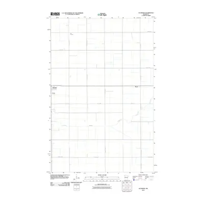
 2010 Erie NE2010 Print · USGSCovers Marshall County, including Beltrami County, Pennington County, and other nearby areas
Showing maps 1-25 of 280
Top cities of Marshall County
- Warren historical maps
- Stephen historical maps
- Argyle historical maps
- Alvarado historical maps
- Newfolden historical maps
- Oslo historical maps
See more
Frequently asked questions
- What are the different types of historical maps available for Marshall County?
- What is the oldest map of Marshall County?
- Where can I purchase historical maps of Marshall County for my home or office?
- Where can I download high-res historical maps of Marshall County?
- Are there historical topographic maps available for Marshall County?
- Is there historical aerial imagery available for Marshall County?
- Where are historical maps of Marshall County sourced from?