2010s Maps of Marshall County, Mississippi
Explore 61 historic maps of Marshall County from the 2010s. These maps offer a rare glimpse into what life looked like during the 2010s — showing old roads, neighborhoods, homes, and landmarks that have changed or disappeared over time.
Whether you're researching your family's past, planning a metal detecting trip, or studying how Marshall County's landscape evolved across the 2010s, these high-resolution maps are a powerful tool for exploring the history of this region.
- Focus on a specific era: All maps on this page are from the 2010s, giving you a focused view of this time period.
- See what’s changed: Compare century-old streets, trails, and buildings to today's modern landscape using overlays and satellite layers.
- Research with precision: Use these maps for genealogy, historical research, land use analysis, or educational projects.
- View, download, or print: Maps are fully viewable online in high resolution, and can be downloaded or printed for your own records.
Start exploring Marshall County's history through authentic maps from the 2010s. This is your window into the past.
Marshall County, MS maps
(61)- 2010 Map of Slayden, 2010 Print
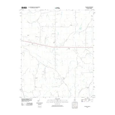 2010 Slayden2010 Print · USGSNorthern Mississippi's rural landscape at the start of the decade is defined by a deep network of ancestral burial grounds and winding creeks. Genealogists can trace family connections through sites like Isom Chapel Cemetery, Gatewood Cemetery, and Mill Pond.
 - 2010 Map of Byhalia NW, 2010 Print
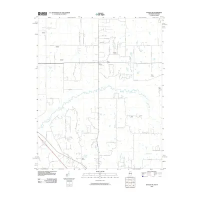 2010 Byhalia NW2010 Print · USGSSpanning the border between Mississippi and Tennessee in 2010, this area shows a landscape defined by its rural cemeteries and the winding Coldwater River. Genealogists can trace family heritage at the Shiloh Cemetery, Mount Carmel Cemetery, and Barton Cemetery.
 - 2010 Map of Lamar, 2010 Print
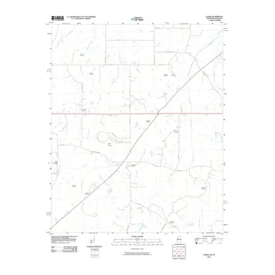 2010 Lamar2010 Print · USGSLamar and its surrounding borderlands are captured here in the early twenty-first century as a landscape of rural homesteads and family farms. Researchers can locate nearly a dozen local burial sites including Old Lamar Cemetery, Franklin Cemetery, and Rice Chapel Cemetery.
 - 2010 Map of Mount Pleasant, 2010 Print
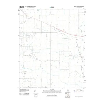 2010 Mount Pleasant2010 Print · USGSFayette County at the turn of the twenty-first century remains a landscape of quiet river bottoms and deep-rooted family homesteads. Genealogists and local historians can trace legacy sites like Mount Pleasant Cemetery and the Goldwater River.
 - 2012 Map of Wyatte, 2012 Print
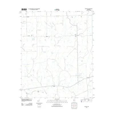 2012 Wyatte2012 Print · USGSNorthern Mississippi settlements and family burial grounds are well-documented here in the early twenty-first century. Researchers can trace local lineage through sites like Grubb Hill Cem and Strickland Chapel Cem near Orion and Chulahoma.
 - 2012 Map of Puskus Lake, 2012 Print
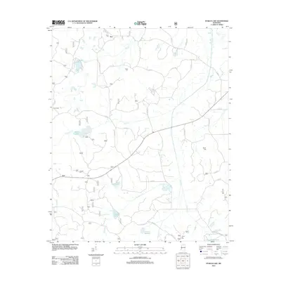 2012 Puskus Lake2012 Print · USGSLafayette County was a landscape of quiet rural communities and interconnected waterways in the years following the millennium. Genealogists and historians can locate old burial grounds like Jefferson Cem and Shiloh Cem or trace the early paths near Puskus Lake.
 - 2012 Map of Etta, 2012 Print
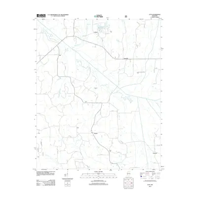 2012 Etta2012 Print · USGSUnion County's rural communities and river bottomlands are captured here in the early 2010s. Researchers can trace local heritage through numerous burial sites like Salem Cem and the small settlements of Etta, Pinedale, and Enterprise.
 - 2012 Map of Slayden, 2012 Print
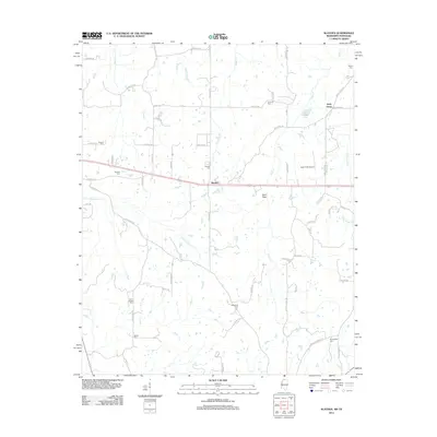 2012 Slayden2012 Print · USGSNorthern Mississippi at the turn of the decade remains a landscape of quiet rural roads and ancestral homesteads. Family historians can trace numerous burial sites including Isom Chapel Cem and Gatewood Cem near the settlement of Slayden.
 - 2012 Map of Malone, 2012 Print
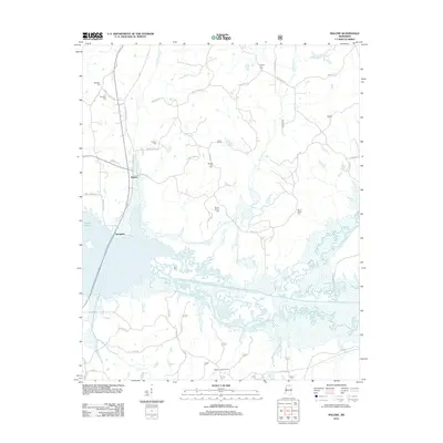 2012 Malone2012 Print · USGSLafayette County's rural northern landscape is captured here in the early twenty-first century as the waters of Sardis Lake meet the creek bottoms. Genealogists can locate several family cemeteries, including Asberry Cem and Mount Vernon Cem, or trace the old paths of Malone and Spraggins.
 - 2012 Map of Marianna, 2012 Print
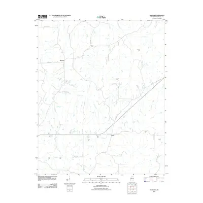 2012 Marianna2012 Print · USGSNorthern Mississippi rural life in Marshall County is preserved here just after the turn of the millennium. Family historians can trace ancestral sites through local burial grounds like Chulahoma Cem, Marvel Cem, and Mount Gillie Cem.
 - 2012 Map of Waterford, 2012 Print
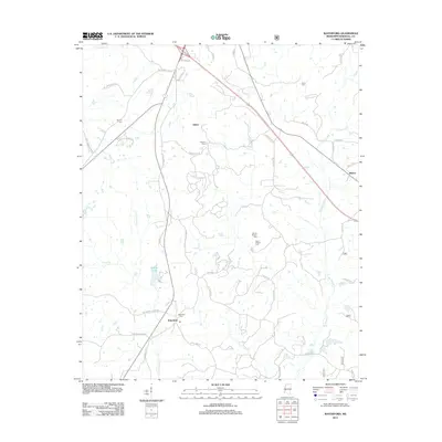 2012 Waterford2012 Print · USGSNorth Mississippi's rural landscape comes into focus in this Marshall County study from the early 2010s. Genealogists and local historians can trace family locations through numerous sites like Waterford Cemetery, Sauls Chapel Cemetery, and the community of Gilton.
 - 2012 Map of Tyro, 2012 Print
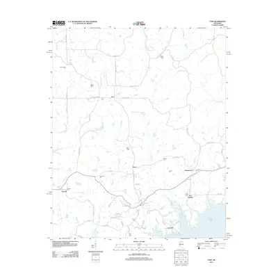 2012 Tyro2012 Print · USGSThe northern shores of Sardis Lake and the rural crossroads of Lafayette and Tate Counties are captured here in the early twenty-first century. Genealogists can trace family footprints through numerous local burial sites, including Mount Patient Cem, Waldrip Cem, and the community of Harmontown.
 - 2012 Map of Laws Hill, 2012 Print
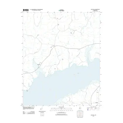 2012 Laws Hill2012 Print · USGSNorthern Mississippi and the northern reaches of Sardis Lake are captured here in the early twenty-first century. Researchers can trace rural lineages through numerous burial sites like Mount Moriah Cem, Alexander Cem, and the community of Abbeville.
 - 2012 Map of Byhalia NW, 2012 Print
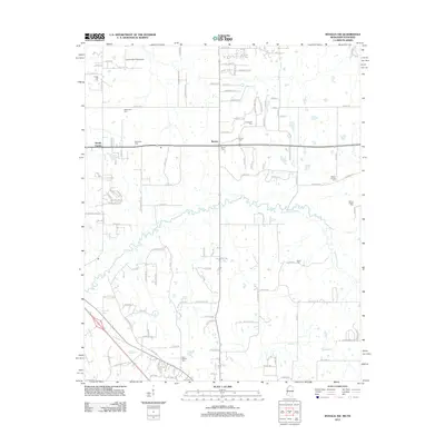 2012 Byhalia NW2012 Print · USGSThe Tennessee-Mississippi borderlands come into focus at the start of the 2010s as traditional rural life meets modern growth. Researchers can trace family history through a high concentration of burial sites like McGehee Cem and Mount Carmel Cem near Barton.
 - 2012 Map of Byhalia, 2012 Print
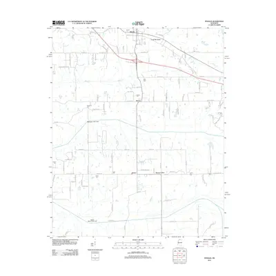 2012 Byhalia2012 Print · USGSByhalia and its rural Marshall County surroundings are captured here just after the turn of the millennium. Genealogists can trace family footprints across numerous burial sites like Saint Pauls Cem and Isaac Cem or explore small centers like Coal Oil Corner.
 - 2012 Map of Lamar, 2012 Print
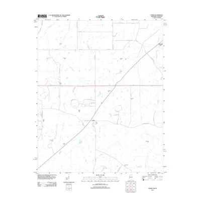 2012 Lamar2012 Print · USGSBenton County, Mississippi, near the Tennessee border is shown here in the early 2010s. Genealogists can locate family burial grounds including Old Lamar Cem and Greenwood Cem, or trace the paths of Wolf River and Early Grove Cr.
 - 2012 Map of Holly Springs SE, 2012 Print
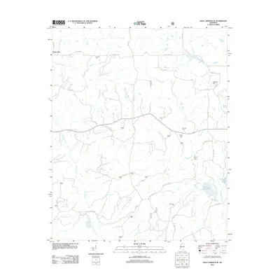 2012 Holly Springs SE2012 Print · USGSNorthern Marshall County was a landscape of quiet rural settlements and family-named landmarks in the early twenty-first century. Genealogists can trace local roots through numerous burial grounds like Governor Matthews Cem and Shawnee Cem near the banks of Chewalla Lake.
 - 2012 Map of Bethlehem, 2012 Print
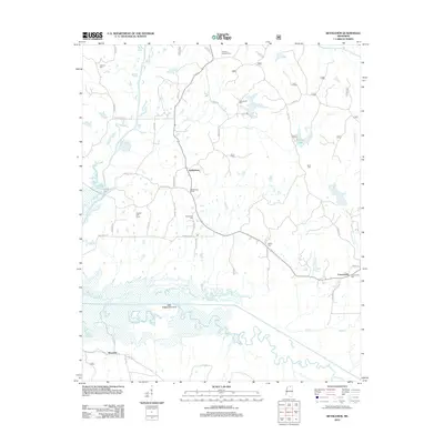 2012 Bethlehem2012 Print · USGSMarshall County in the early twenty-first century remains a rural landscape defined by the wetlands of the Little Tallahatchie River. Researchers can locate numerous local burial grounds including Salem Cem, Lebanon Cem, and the Winborn Lookout Tower.
 - 2012 Map of Holly Springs, 2012 Print
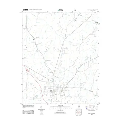 2012 Holly Springs2012 Print · USGSNorthern Mississippi's Marshall County is shown here in the early twenty-first century, centered on the historic crossroads of Holly Springs. Genealogists can trace numerous local burial sites like Strawberry Plains Cem, Grays Cem, and McAlexander Cem across the rural landscape.
 - 2012 Map of Potts Camp, 2012 Print
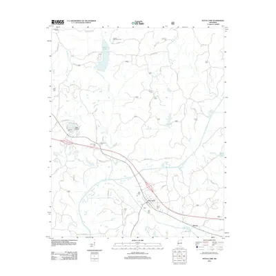 2012 Potts Camp2012 Print · USGSPotts Camp and the surrounding Marshall County countryside are documented here in the early twenty-first century. Researchers can trace family history through numerous local sites including Potts Camp Cemetery, Winborn, and Bethany Cemetery.
 - 2012 Map of Hickory Flat, 2012 Print
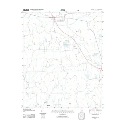 2012 Hickory Flat2012 Print · USGSHickory Flat and the surrounding north Mississippi countryside are captured in detail during the early twenty-first century. Genealogists and researchers can locate family burial grounds like Candy Hill Cemetery and trace the paths of Byers Creek and McDaniel Branch.
 - 2012 Map of Mount Pleasant, 2012 Print
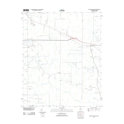 2012 Mount Pleasant2012 Print · USGSSpanning the Tennessee-Mississippi border in the early 2010s, this area shows a landscape of rural crossroads and established cemeteries. Researchers can trace family history at sites like Mount Pleasant Cem, Benton Cem, and Olive Cem along the Coldwater River.
 - 2012 Map of Red Banks, 2012 Print
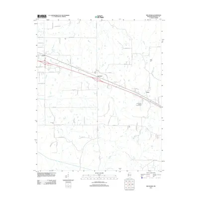 2012 Red Banks2012 Print · USGSNorthern Mississippi's rural character is captured here in the early twenty-first century as small communities dot the landscape between Byhalia and Holly Springs. Researchers can locate family burial sites like Brick Cem and Fant Cem or trace local landmarks like Red Banks and the Holly Springs-Marshall County Airport.
 - 2015 Map of Marianna, 2015 Print
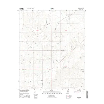 2015 Marianna2015 Print · USGSMarshall County crossroads come into focus in this recent survey of the North Mississippi landscape. Genealogists and local historians can trace family land ties through numerous burial grounds like Marvel Cem, Mount Gillie Cem, and Nunnally Cem.
 - 2015 Map of Puskus Lake, 2015 Print
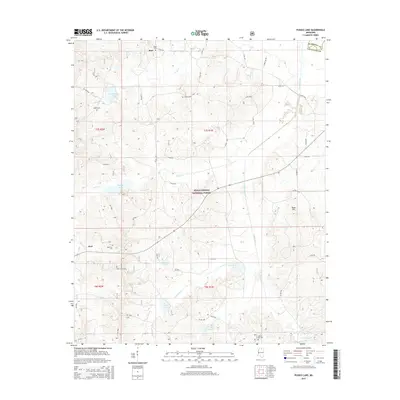 2015 Puskus Lake2015 Print · USGSLafayette and Marshall counties were dominated by the protected timberlands and drainage basins of the national forest in the early twenty-first century. Genealogists can trace family footprints at Jefferson Cem, Liberty Cem, and the small settlement of Keel.
Showing maps 1-25 of 61
Top cities of Marshall County
Frequently asked questions
- What are the different types of historical maps available for Marshall County?
- What is the oldest map of Marshall County?
- Where can I purchase historical maps of Marshall County for my home or office?
- Where can I download high-res historical maps of Marshall County?
- Are there historical topographic maps available for Marshall County?
- Is there historical aerial imagery available for Marshall County?
- Where are historical maps of Marshall County sourced from?