2020s Maps of Marshall County, Mississippi
Explore 38 historic maps of Marshall County from the 2020s. These maps offer a rare glimpse into what life looked like during the 2020s — showing old roads, neighborhoods, homes, and landmarks that have changed or disappeared over time.
Whether you're researching your family's past, planning a metal detecting trip, or studying how Marshall County's landscape evolved across the 2020s, these high-resolution maps are a powerful tool for exploring the history of this region.
- Focus on a specific era: All maps on this page are from the 2020s, giving you a focused view of this time period.
- See what’s changed: Compare century-old streets, trails, and buildings to today's modern landscape using overlays and satellite layers.
- Research with precision: Use these maps for genealogy, historical research, land use analysis, or educational projects.
- View, download, or print: Maps are fully viewable online in high resolution, and can be downloaded or printed for your own records.
Start exploring Marshall County's history through authentic maps from the 2020s. This is your window into the past.
Marshall County, MS maps
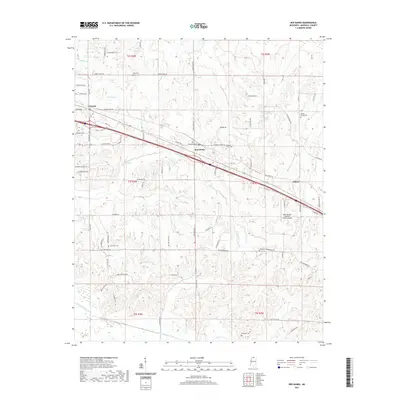
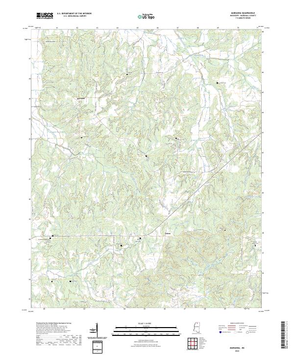
(38)- 2021 Map of Marianna, 2021 Print
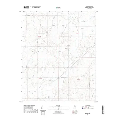 2021 Marianna2021 Print · USGSCovers Marshall County, including Marianna, Galena, and other nearby areas
 - 2021 Map of Byhalia NW, 2021 Print
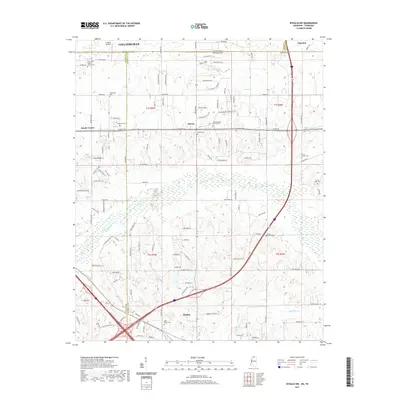 2021 Byhalia NW2021 Print · USGSCovers Marshall County, including Piperton, Byhalia, and other nearby areas
 - 2021 Map of Byhalia, 2021 Print
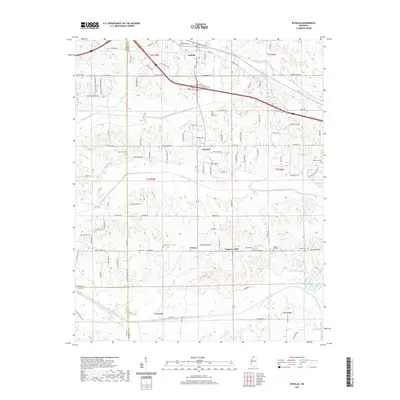 2021 Byhalia2021 Print · USGSCovers Marshall County, including Byhalia, Watson Center, and other nearby areas
 - 2021 Map of Tyro, 2021 Print
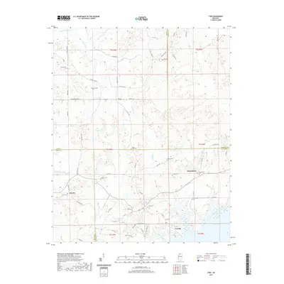 2021 Tyro2021 Print · USGSCovers Marshall County, including Free Springs, Tyro, and other nearby areas
 - 2021 Map of Red Banks, 2021 Print
 2021 Red Banks2021 Print · USGSCovers Marshall County, including Victoria, Mahon, and other nearby areas
 - 2021 Map of Mount Pleasant, 2021 Print
 2021 Mount Pleasant2021 Print · USGSCovers Marshall County, including Piperton, Cayce, and other nearby areas
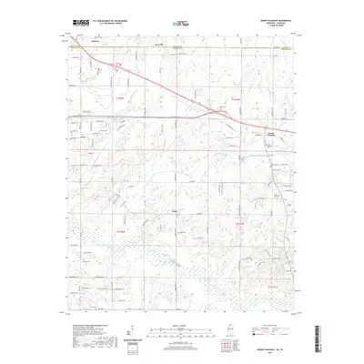
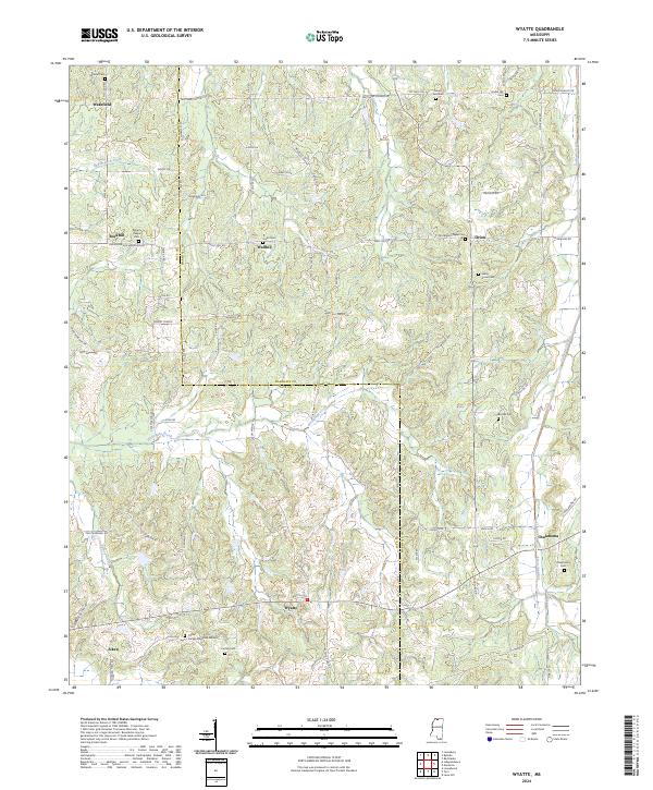
 - 2021 Map of Wyatte, 2021 Print
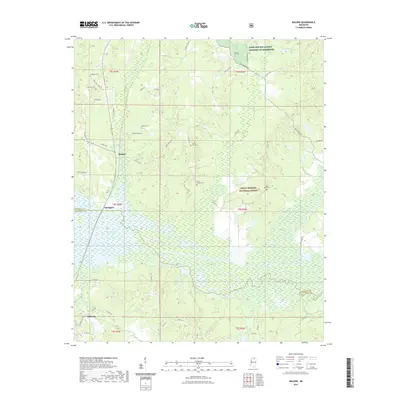
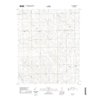 2021 Wyatte2021 Print · USGSCovers Marshall County, including Wakefield, Rockhill, and other nearby areas
 - 2021 Map of Laws Hill, 2021 Print
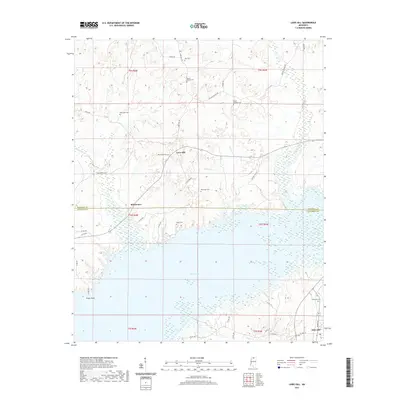 2021 Laws Hill2021 Print · USGSCovers Marshall County, including Abbeville, Blackwater, and other nearby areas
 - 2021 Map of Slayden, 2021 Print
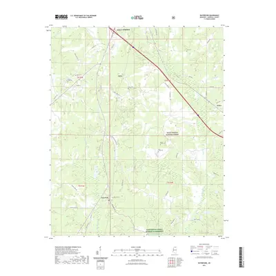
 2021 Slayden2021 Print · USGSCovers Marshall County, including Early Grove, Slayden, and other nearby areas
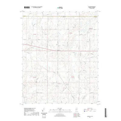
 - 2021 Map of Lamar, 2021 Print
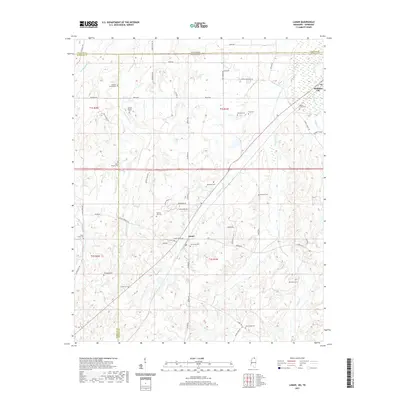 2021 Lamar2021 Print · USGSCovers Marshall County, including Lamar, Michigan City, and other nearby areas
 - 2021 Map of Holly Springs SE, 2021 Print
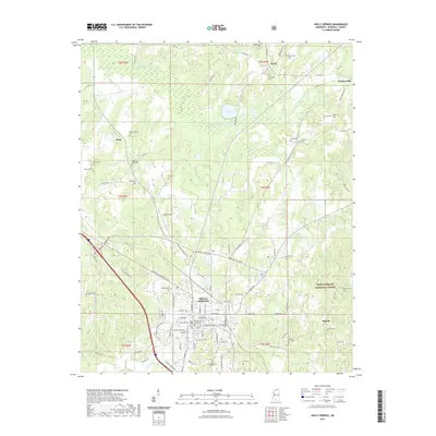
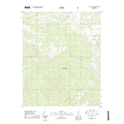 2021 Holly Springs SE2021 Print · USGSCovers Marshall County, including Benton County, United States, and other nearby areas
 - 2021 Map of Hickory Flat, 2021 Print
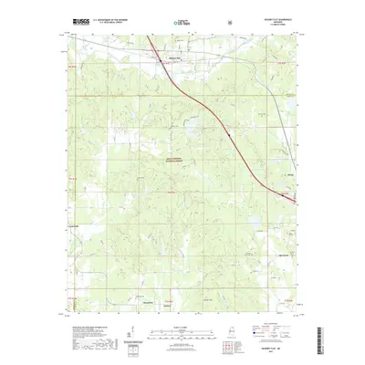 2021 Hickory Flat2021 Print · USGSCovers Marshall County, including Myrtle, Hickory Flat, and other nearby areas
 - 2021 Map of Holly Springs, 2021 Print
 2021 Holly Springs2021 Print · USGSCovers Marshall County, including Holly Springs, Higdon, and other nearby areas
 - 2021 Map of Potts Camp, 2021 Print
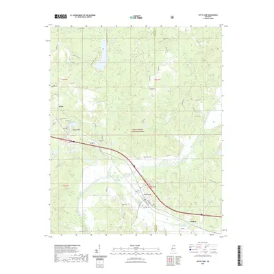 2021 Potts Camp2021 Print · USGSCovers Marshall County, including Potts Camp, Lake Center, and other nearby areas
 - 2021 Map of Puskus Lake, 2021 Print
 2021 Puskus Lake2021 Print · USGSCovers Marshall County, including Keel, Burt, and other nearby areas
 - 2021 Map of Bethlehem, 2021 Print
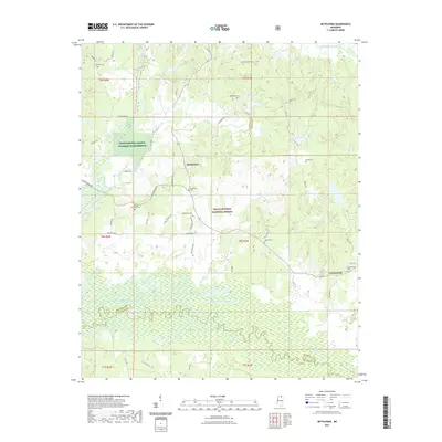 2021 Bethlehem2021 Print · USGSCovers Marshall County, including Bethlehem, Cornersville, and other nearby areas
 - 2021 Map of Waterford, 2021 Print
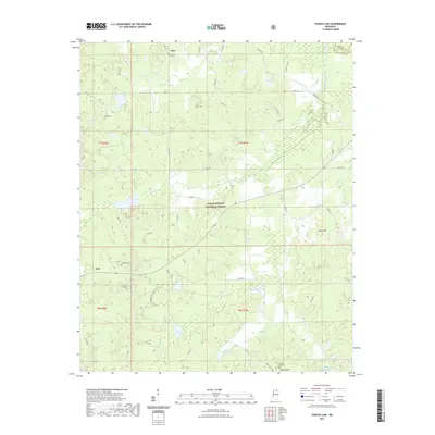
 2021 Waterford2021 Print · USGSCovers Marshall County, including Holly Springs, Gilton, and other nearby areas
 - 2021 Map of Malone, 2021 Print
 2021 Malone2021 Print · USGSCovers Marshall County, including Abbeville, Malone, and other nearby areas
 - 2021 Map of Etta, 2021 Print
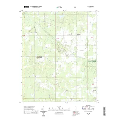 2021 Etta2021 Print · USGSCovers Marshall County, including Flatwood, Enterprise, and other nearby areas
 - 2024 Map of Slayden, 2024 Print
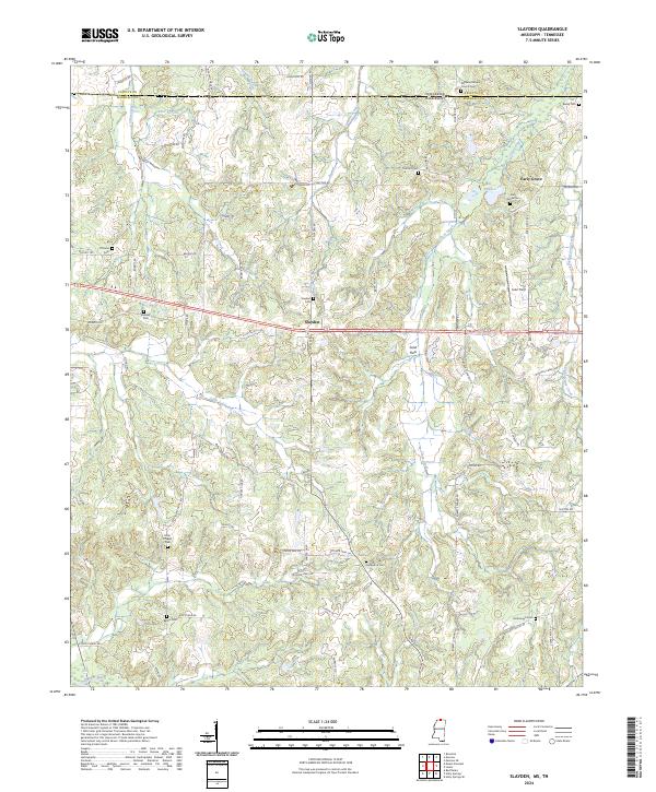 2024 Slayden2024 Print · USGSMarshall County, Mississippi, sits along the Tennessee border in this recent survey of its rural crossroads and creek valleys. Genealogists can trace family locations through numerous sites like Early Grove Cem, Slayden Cem, and Isom Chapel.
 - 2024 Map of Marianna, 2024 Print
 2024 Marianna2024 Print · USGSMarshall County's rural heartland is meticulously documented in this 2024 survey, showing the enduring structure of its communities and family lands. Researchers can trace local heritage through numerous burial sites and landmarks like Brooks Family Cem, Marianna, and the Chulahoma Missionary Baptist Church.
 - 2024 Map of Wyatte, 2024 Print
 2024 Wyatte2024 Print · USGSThe rural borders of Marshall and Tate counties come into focus in this recent survey of Northern Mississippi. Researchers can locate numerous local burial sites and landmarks like Sunset Memorial Garden, Jones Cem, and Roberts Chapel near the community of Wakefield.
 - 2024 Map of Holly Springs SE, 2024 Print
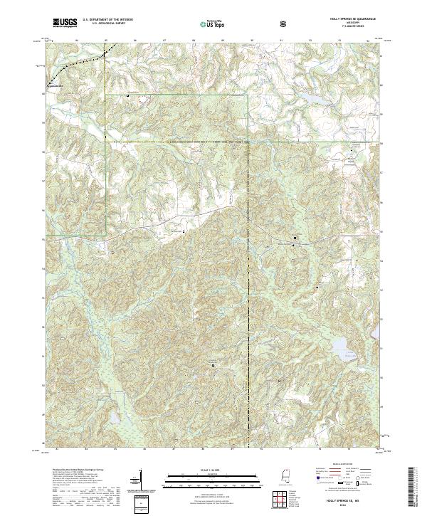 2024 Holly Springs SE2024 Print · USGSHudsonville and the northern reaches of the Holly Springs National Forest are detailed in this recent Mississippi survey. Family historians can locate several remote burial sites, including Governor Matthews Cem and Hopewell Cem, near the banks of the Coldwater River.
 - 2024 Map of Bethlehem, 2024 Print
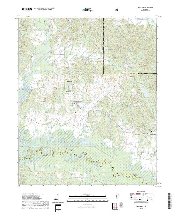 2024 Bethlehem2024 Print · USGSMarshall County's rural communities and cemetery sites are documented in this contemporary survey of the north Mississippi landscape. Researchers can locate family landmarks like Bethlehem Methodist Cem, the river crossing at Goodmans Ferry, and the quiet crossroads of Cornersville.
 - 2024 Map of Byhalia, 2024 Print
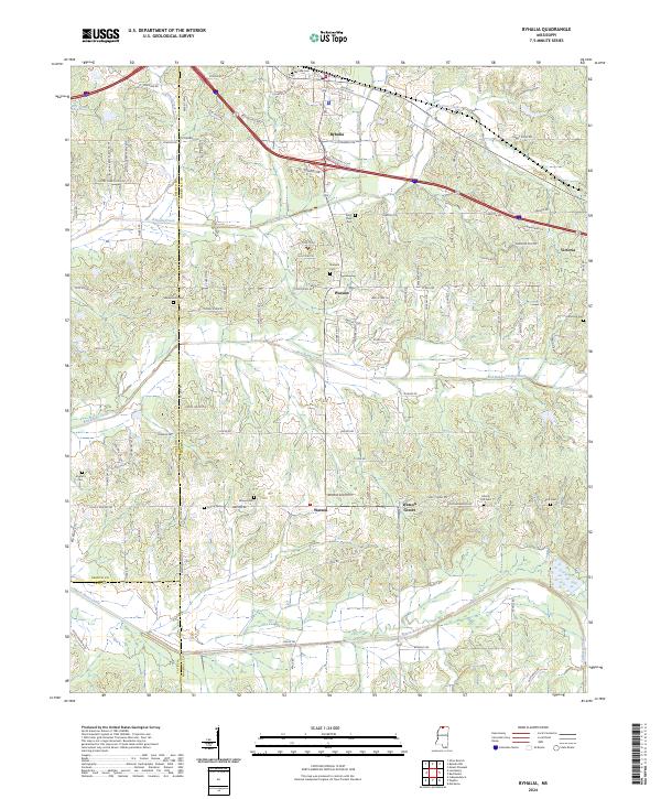 2024 Byhalia2024 Print · USGSByhalia and its rural surrounds come into focus in this contemporary survey of the Marshall County uplands. Genealogists can locate family landmarks at Harmonia Cem, Macedonia Cem, and the small community of Watson Center.
Showing maps 1-25 of 38
Top cities of Marshall County
Frequently asked questions
- What are the different types of historical maps available for Marshall County?
- What is the oldest map of Marshall County?
- Where can I purchase historical maps of Marshall County for my home or office?
- Where can I download high-res historical maps of Marshall County?
- Are there historical topographic maps available for Marshall County?
- Is there historical aerial imagery available for Marshall County?
- Where are historical maps of Marshall County sourced from?