Old Maps of Pontotoc, Mississippi for Academic Research
Study the evolution of Pontotoc with 33 high-resolution historic maps. Whether you're teaching, researching, or modeling changes in land use, these maps provide essential visual documentation of urban, environmental, and geographic change.
- Analyze long-term change: Track patterns in development, transportation, and natural features.
- Ideal for environmental or urban studies: Support academic projects with primary historical map data.
- Use in the classroom or lab: Educators and researchers rely on these maps to bring historical context to life.
These maps are a powerful tool for teaching, research, and visualizing how Pontotoc has changed over the decades.
Pontotoc, MS maps
(33)- 1949 Map of New Albany, 1964 Print
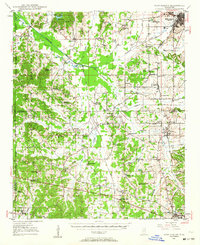 1949 New Albany1964 Print · USGSNorth Mississippi's rural landscape comes to life in the late 1940s as rail lines and river bottoms connect scattered farming communities. Researchers can trace the heritage of local crossroads and schools like Ingomar, Possum Trot, and Beulah Grove Sch.
 - 1951 Map of New Albany
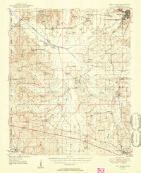 1951 New Albany1951 Print · USGSMississippi's hill country comes into focus in the early fifties, showing a landscape defined by the GULF MOBILE AND OHIO railroad and the Tallahatchie River. Researchers can trace rural lineages through numerous local sites like Possum Trot, Turnpike Ch, and Ingomar.2 unique versions available
 - 1955 Map of Sherman, 1956 Print
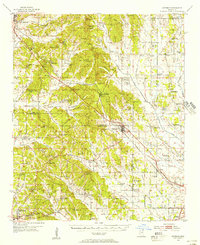 1955 Sherman1956 Print · USGSNortheast Mississippi in the mid-fifties is captured here as a landscape of small railway towns and rural crossroads along the St Louis San Francisco line. Genealogists can trace family landmarks like Cherry Creek Cem, Wallerville, and Rakestraw Mountain.2 unique versions available
 - 1956 Map of Tupelo, 1967 Print
 1956 Tupelo1967 Print · USGSNortheast Mississippi and parts of Tennessee and Alabama are shown here during the mid-fifties, a time of major reservoir construction and forestry management. Researchers can trace the St Louis-San Francisco RR through Tupelo or locate historic sites like Tishomingo State Park and the University.2 unique versions available
 - 1958 Map of Tupelo
 1958 Tupelo1958 Print · USGSNortheast Mississippi and neighboring Alabama and Tennessee appear here during the late fifties as a region defined by new reservoirs and historic rail lines. Genealogists can trace family locations near Sardis Lake, Woodall Mountain, and the St Louis-San Francisco Ry.
 - 1966 Map of Troy NW, 1967 Print
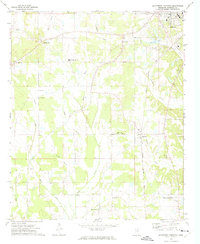
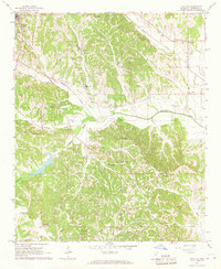 1966 Troy NW1967 Print · USGSPontotoc and its rural surroundings are captured in the mid-sixties, showing a landscape of deep creek valleys and ridge-top settlements. Genealogists can locate numerous country landmarks like College Hill Cem, Campground Ch, and the Friendship Cem.3 unique versions available
 - 1972 Map of Southwest Pontotoc, 1974 Print
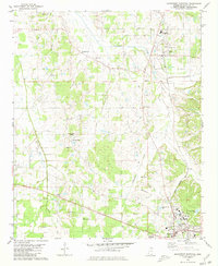
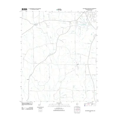
 1972 Southwest Pontotoc1974 Print · USGSPontotoc County in the early seventies shows a landscape defined by the Gulf Central Illinois railroad and a deep network of rural congregations. Genealogists can locate family landmarks like Reynolds Chapel, Old Monroe Ch, and the settlement of Algoma.
 - 1980 Map of Northwest Pontotoc, 1981 Print
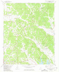
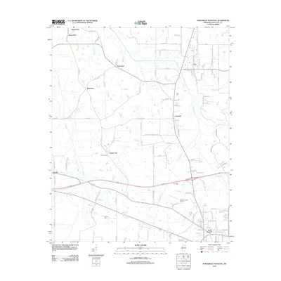
 1980 Northwest Pontotoc1981 Print · USGSPontotoc and Ecru are captured here in the mid-1970s as agricultural traditions met modernizing infrastructure. Local researchers can trace family roots through sites like Weatherall Cem, Wardlow Cem, and the town center of Ecru.
 - 1980 Map of Northeast Pontotoc, 1981 Print
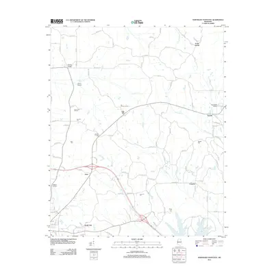
 1980 Northeast Pontotoc1981 Print · USGSNortheast Mississippi in the 1980s reveals a rural landscape defined by historic creek bottoms and dispersed settlements. Genealogists and historians can trace family locations near Poplar Springs, Cherry Creek, and Spring Hill Cem while locating the route of the Old Natchez Trace Park.
 - 1984 Map of Tupelo
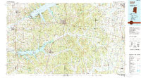
 1984 Tupelo1984 Print · USGSNorth Mississippi in the 1980s is defined by its massive river basin reservoirs and the growing regional hubs of Tupelo and Oxford. Researchers can trace the legacy of the Pontotoc Ridge, find the University of Mississippi, and map early Interstate corridors near Sardis Lake.3 unique versions available
 - 1984 Map of Tupelo, 1985 Print
 1984 Tupelo1985 Print · USGSNortheast Mississippi and the Alabama borderlands are shown in the mid-1980s as timber and river networks shaped the region. Trace local history through the Illinois Central Gulf rail line and sites like the Old Natchez Trace Parkway.
 - 1984 Map of Oxford, 1985 Print
 1984 Oxford1985 Print · USGSOxford and its surrounding hill country are captured in the mid-eighties as university life and rural industry intersected. Genealogists and historians can trace rail lines like the ST LOUIS-SAN FRANCISCO RY and locate old rural centers such as College Hill Sta and Lafayette Springs.
 - 1990 Map of Oxford, 1991 Print
 1990 Oxford1991 Print · USGSNorth Mississippi at the start of the nineties centers on the university town of Oxford and the large reservoirs of the Tallahatchie River valley. Researchers can trace the Illinois Central Gulf RR through towns like Water Valley and locate landmarks such as College Hill Sta.
 - 2012 Map of Southwest Pontotoc, 2012 Print
 2012 Southwest Pontotoc2012 Print · USGSCovers Pontotoc, including Algoma, Springville, and other nearby areas
 - 2012 Map of Northwest Pontotoc, 2012 Print
 2012 Northwest Pontotoc2012 Print · USGSCovers Pontotoc, including Ecru, Rocky Ford, and other nearby areas
 - 2012 Map of Northeast Pontotoc, 2012 Print
 2012 Northeast Pontotoc2012 Print · USGSCovers Pontotoc, including Longview, Cherry Creek, and other nearby areas
 - 2012 Map of Southeast Pontotoc, 2012 Print
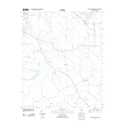 2012 Southeast Pontotoc2012 Print · USGSCovers Pontotoc, including Woodland, Zion, and other nearby areas
 - 2015 Map of Southeast Pontotoc, 2015 Print
 2015 Southeast Pontotoc2015 Print · USGSCovers Pontotoc, including Woodland, Zion, and other nearby areas
 - 2015 Map of Northeast Pontotoc, 2015 Print
 2015 Northeast Pontotoc2015 Print · USGSCovers Pontotoc, including Longview, Cherry Creek, and other nearby areas
 - 2015 Map of Southwest Pontotoc, 2015 Print
 2015 Southwest Pontotoc2015 Print · USGSCovers Pontotoc, including Algoma, Springville, and other nearby areas
 - 2015 Map of Northwest Pontotoc, 2015 Print
 2015 Northwest Pontotoc2015 Print · USGSCovers Pontotoc, including Ecru, Rocky Ford, and other nearby areas
 - 2018 Map of Southwest Pontotoc, 2018 Print
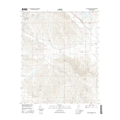
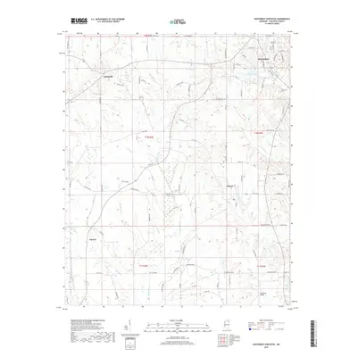 2018 Southwest Pontotoc2018 Print · USGSCovers Pontotoc, including Algoma, Springville, and other nearby areas
 - 2018 Map of Northwest Pontotoc, 2018 Print
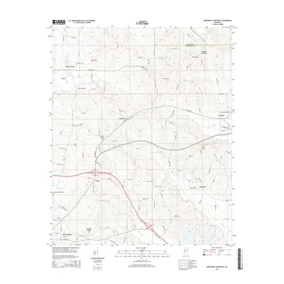
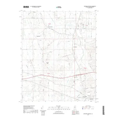 2018 Northwest Pontotoc2018 Print · USGSCovers Pontotoc, including Ecru, Rocky Ford, and other nearby areas
 - 2018 Map of Southeast Pontotoc, 2018 Print
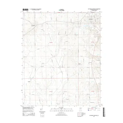
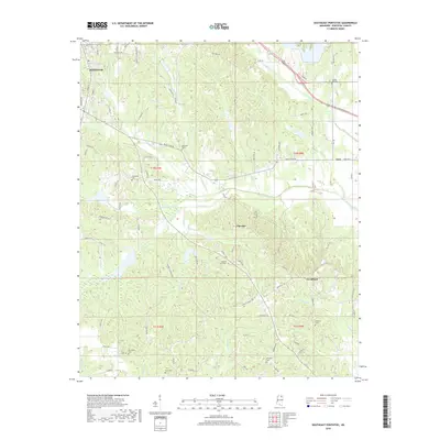 2018 Southeast Pontotoc2018 Print · USGSCovers Pontotoc, including Woodland, Zion, and other nearby areas
 - 2018 Map of Northeast Pontotoc, 2018 Print
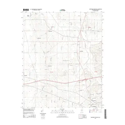
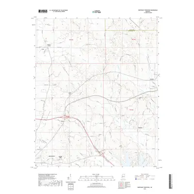 2018 Northeast Pontotoc2018 Print · USGSCovers Pontotoc, including Longview, Cherry Creek, and other nearby areas
Showing maps 1-25 of 33
Top cities near Pontotoc
- Tupelo historical maps
- New Albany historical maps
- Ecru historical maps
- Algoma historical maps
- Thaxton historical maps
- Toccopola historical maps
See more
Top neighborhoods of Pontotoc
Frequently asked questions
- What are the different types of historical maps available for Pontotoc?
- What is the oldest map of Pontotoc?
- Where can I purchase historical maps of Pontotoc for my home or office?
- Where can I download high-res historical maps of Pontotoc?
- Are there historical topographic maps available for Pontotoc?
- Is there historical aerial imagery available for Pontotoc?
- Where are historical maps of Pontotoc sourced from?