2000s (21st Century) Maps of Prentiss County, Mississippi
Explore 76 historic maps of Prentiss County from the 2000s (21st Century). These maps offer a rare glimpse into what life looked like during the 2000s — showing old roads, neighborhoods, homes, and landmarks that have changed or disappeared over time.
Whether you're researching your family's past, planning a metal detecting trip, or studying how Prentiss County's landscape evolved across the 2000s, these high-resolution maps are a powerful tool for exploring the history of this region.
- Focus on a specific era: All maps on this page are from the 2000s, giving you a focused view of this time period.
- See what’s changed: Compare century-old streets, trails, and buildings to today's modern landscape using overlays and satellite layers.
- Research with precision: Use these maps for genealogy, historical research, land use analysis, or educational projects.
- View, download, or print: Maps are fully viewable online in high resolution, and can be downloaded or printed for your own records.
Start exploring Prentiss County's history through authentic maps from the 2000s. This is your window into the past.
Prentiss County, MS maps
(76)- 2012 Map of Ratliff, 2012 Print
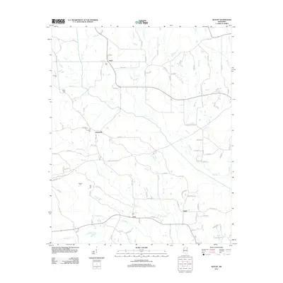 2012 Ratliff2012 Print · USGSNortheast Mississippi’s rural landscape is mapped here in the early twenty-first century, featuring the headwaters of the Tombigbee River system. Genealogists can locate several family-named burial grounds including Peterson Cem, Red Hill Cem, and Tennelue Cem.
 - 2012 Map of Paden, 2012 Print
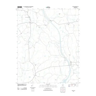 2012 Paden2012 Print · USGSTishomingo County's rural landscape is captured here in the early twenty-first century, centered on the community of Paden. Genealogists can locate family landmarks like New Lebanon Cem, Forked Oak Cem, and Belue Cem tucked among the hills and creek bottoms.
 - 2012 Map of Fulton NE, 2012 Print
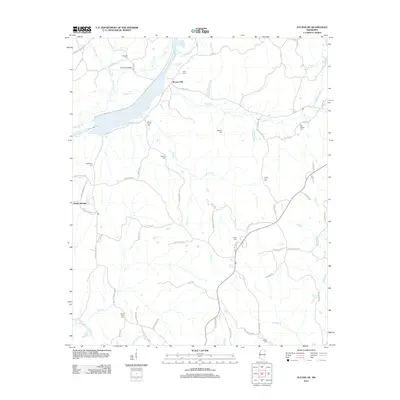 2012 Fulton NE2012 Print · USGSTishomingo County’s rural crossroads and stream valleys are captured here as they appeared in the early twenty-first century. Family history researchers can locate numerous burial sites and small settlements, including Moores Mill, Old Bethel Cem, and the Caveness Bridge.
 - 2012 Map of Kossuth South, 2012 Print
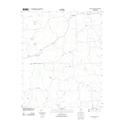 2012 Kossuth South2012 Print · USGSAlcorn County in the early twenty-first century remains a landscape of quiet rural hamlets and winding river bottoms. Genealogists and local historians can trace family-named landmarks like Crum Mountain, find rural burial sites at Union Cem, and locate crossings such as Turnpike Bridge.
 - 2012 Map of Wheeler, 2012 Print
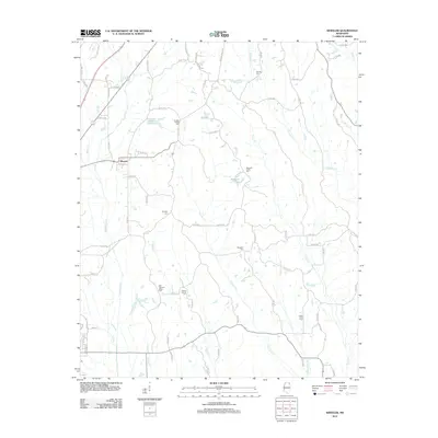 2012 Wheeler2012 Print · USGSNortheast Mississippi at the start of the twenty-first century remains a landscape of small rural settlements and ancestral burial grounds. Genealogists can locate several family-linked landmarks like Hodges Chapel Cem, Wheeler, and Meadow Creek Cem.
 - 2012 Map of Baldwyn, 2012 Print
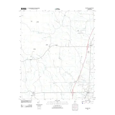 2012 Baldwyn2012 Print · USGSBaldwyn and the surrounding Lee and Prentiss County countryside are shown here in the early twenty-first century. Researchers can trace local heritage through numerous rural landmarks like Brices Crossroads National Battlefield, Carrollville Cem, and the old settlement at Geeville.
 - 2012 Map of Altitude, 2012 Print
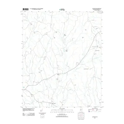 2012 Altitude2012 Print · USGSNorth Mississippi's rural Prentiss County comes into focus in this modern survey of the communities around Altitude and Hills Chapel. Genealogists can trace family heritage at numerous sites like Jones Chapel Cem, New Candler Cem, and Snowdown Cem.
 - 2012 Map of Burnsville, 2012 Print
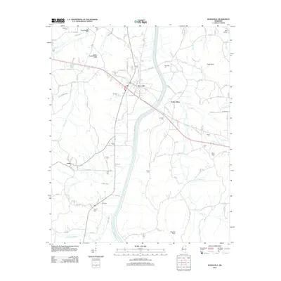 2012 Burnsville2012 Print · USGSTishomingo County at the start of the twenty-first century reveals a landscape where railroad heritage and rural genealogy intersect. Genealogists can trace family names through numerous burial sites like Opossum Trot Cem, Rowland Mills Cem, and Little Flock Cem.
 - 2012 Map of Paden SE, 2012 Print
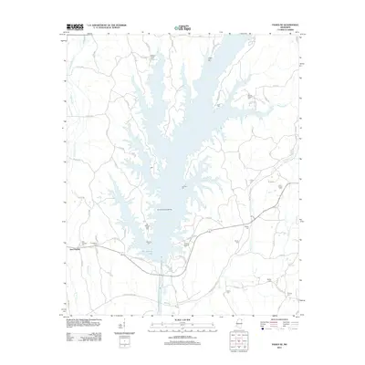 2012 Paden SE2012 Print · USGSPrentiss County in the early twenty-first century is defined by the expansive waters of Bay Springs Lake. Genealogists and local historians can trace family roots through numerous burial sites like Old Mackeys Creek Cem, Cotton Springs Cem, and East Prentiss Cem.
 - 2012 Map of Rienzi, 2012 Print
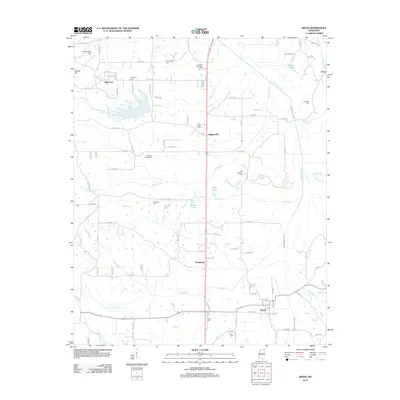 2012 Rienzi2012 Print · USGSAlcorn County's rural landscape is captured here in the early 2010s, centered on the corridor between Biggersville and Rienzi. Researchers can trace family history through numerous burial grounds like Old Danville Cem, Tuscumbia Cem, and the Dilworth Cemeteries.
 - 2012 Map of Glens, 2012 Print
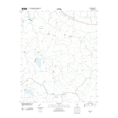 2012 Glens2012 Print · USGSAlcorn County, Mississippi, is shown here in the early twenty-first century as a landscape of rural settlements and family cemeteries. Genealogists can trace local heritage through sites like Jacinto, the Arbor Cem, and landmarks such as Bennett Ridge.
 - 2012 Map of Booneville, 2012 Print
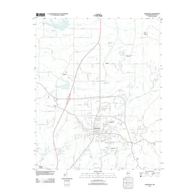 2012 Booneville2012 Print · USGSBooneville and its Prentiss County environs are captured here in the early twenty-first century as the city expanded toward the Tuscumbia River. Researchers can locate many local burial sites, from the central Booneville Cemetery to rural locations like Smith Cemetery and Gaston Cemetery.
 - 2012 Map of Jumpertown, 2012 Print
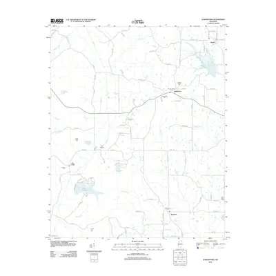 2012 Jumpertown2012 Print · USGSPrentiss County at the start of the 2010s shows a landscape deeply rooted in its rural settlements and local history. Genealogists can trace family locations near Blackland Cem, Pisgah, and the Prentiss Lookout Tower.
 - 2012 Map of Kirkville, 2012 Print
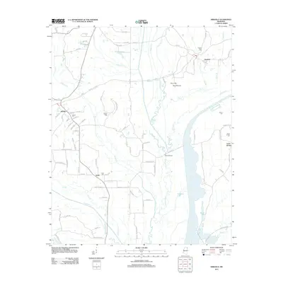 2012 Kirkville2012 Print · USGSMississippi's rural Prentiss County landscape is captured here in the early twenty-first century, centered on the ancient Pharr Mounds and the Natchez Trace Pkwy. Researchers can locate family sites at Kirkville Cem or trace the waterways of Ferguson Lake and the Tombigbee River.
 - 2012 Map of Marietta, 2012 Print
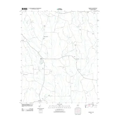 2012 Marietta2012 Print · USGSPrentiss County is shown here in the early 21st century, centered on the community of Marietta and its surrounding creek-laced countryside. Genealogists and historians can trace numerous rural burial sites including Zions Rest Cem, Massey Cem, and Smith-Howell Cem.
 - 2015 Map of Ratliff, 2015 Print
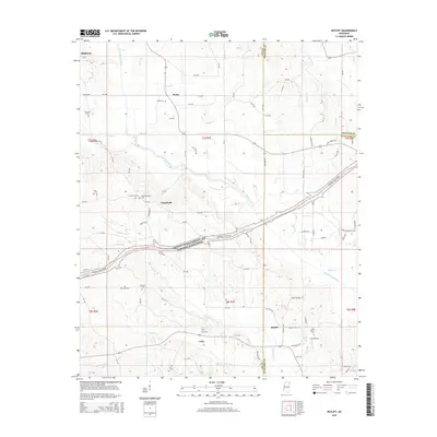 2015 Ratliff2015 Print · USGSNortheast Mississippi’s rural landscape is captured here during the mid-2010s, where Lee, Prentiss, and Itawamba counties converge. Researchers can trace historic burial sites like Old Friendship Cem or follow the path of the Natchez Trace Pkwy through Chapelville and Unity.
 - 2015 Map of Paden, 2015 Print
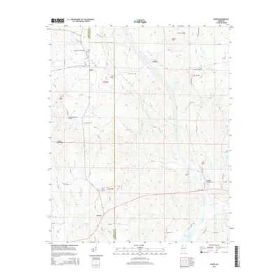 2015 Paden2015 Print · USGSNortheast Mississippi hills and creek bottoms are documented here in the mid-2010s. Genealogists can locate several family and community burial grounds, including New Lebanon Cem, South Crossroads Cem, and Forked Oak Cem.
 - 2015 Map of Glens, 2015 Print
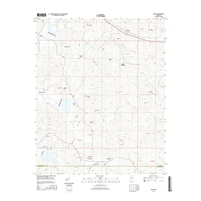 2015 Glens2015 Print · USGSNortheastern Mississippi at the Alcorn and Prentiss county line shows a landscape of ridges and family burial grounds in the early twenty-first century. Researchers can trace ancestral locations at Jacinto or Searcy Town, and find sites like Piney Grove Cem or Arbor Cem.
 - 2015 Map of Fulton NE, 2015 Print
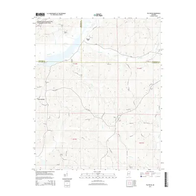 2015 Fulton NE2015 Print · USGSIn the hills where Prentiss, Tishomingo, and Itawamba counties converge, this survey captures the rural landscape of Northeast Mississippi. Genealogists can locate numerous local burying grounds including Saucer Creek Cem and Old Bethel Cem near Moores Mill.
 - 2015 Map of Rienzi, 2015 Print
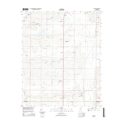 2015 Rienzi2015 Print · USGSThis North Mississippi landscape near the Alcorn and Prentiss county line reveals a dense network of rural settlements and burial grounds. Genealogists can trace family locations near Tuscumbias Grave, the Dilworth Cemeteries, and the village of Biggersville.
 - 2015 Map of Burnsville, 2015 Print
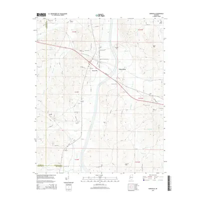 2015 Burnsville2015 Print · USGSTishomingo County at the crossroads of the twenty-first century shows a landscape where quiet rural settlements still define the map. Researchers can trace ancestral locations at Opossum Trot Cem, Leedy, and the old rail stop at Walker Siding.
 - 2015 Map of Kirkville, 2015 Print
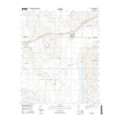 2015 Kirkville2015 Print · USGSNortheastern Mississippi at the Prentiss and Itawamba county line is defined by the historic path of the Natchez Trace Parkway. Researchers can trace old family sites and rural landmarks like the Pharr Mounds, Kirkville Cem, and the quiet waters of Ferguson Lake.
 - 2015 Map of Marietta, 2015 Print
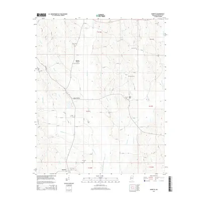 2015 Marietta2015 Print · USGSMarietta and the Prentiss County uplands are documented here in the early twenty-first century. Researchers can trace the lineage of local settlements through numerous landmarks like Blythes Chapel Cem, Hobo Station, and New Site.
 - 2015 Map of Jumpertown, 2015 Print
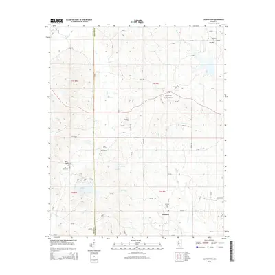 2015 Jumpertown2015 Print · USGSThe Prentiss County countryside comes into focus in this mid-2010s survey of the areas around Jumpertown and Pisgah. Researchers can trace rural church and family ties through landmarks like Pauls Chapel, Concord Cem, and the high ground of the Tippah Hills.
 - 2015 Map of Kossuth South, 2015 Print
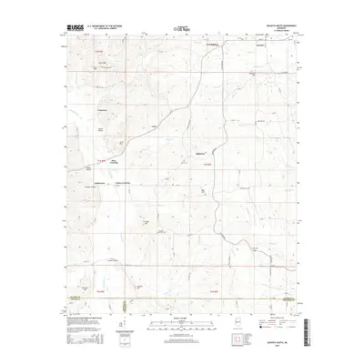 2015 Kossuth South2015 Print · USGSThe hills of Alcorn County are documented here as they appeared in recent years, showing the traditional communities south of Kossuth. Local researchers can trace family landmarks like the Crum B. Mayney Orch and historic crossings including Turnpike Bridge and Ross Crossing.
Showing maps 1-25 of 76
Top cities of Prentiss County
Frequently asked questions
- What are the different types of historical maps available for Prentiss County?
- What is the oldest map of Prentiss County?
- Where can I purchase historical maps of Prentiss County for my home or office?
- Where can I download high-res historical maps of Prentiss County?
- Are there historical topographic maps available for Prentiss County?
- Is there historical aerial imagery available for Prentiss County?
- Where are historical maps of Prentiss County sourced from?