2010s Maps of Winston County, Mississippi
Explore 51 historic maps of Winston County from the 2010s. These maps offer a rare glimpse into what life looked like during the 2010s — showing old roads, neighborhoods, homes, and landmarks that have changed or disappeared over time.
Whether you're researching your family's past, planning a metal detecting trip, or studying how Winston County's landscape evolved across the 2010s, these high-resolution maps are a powerful tool for exploring the history of this region.
- Focus on a specific era: All maps on this page are from the 2010s, giving you a focused view of this time period.
- See what’s changed: Compare century-old streets, trails, and buildings to today's modern landscape using overlays and satellite layers.
- Research with precision: Use these maps for genealogy, historical research, land use analysis, or educational projects.
- View, download, or print: Maps are fully viewable online in high resolution, and can be downloaded or printed for your own records.
Start exploring Winston County's history through authentic maps from the 2010s. This is your window into the past.
Winston County, MS maps
(51)- 2012 Map of Boon, 2012 Print
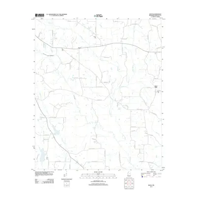 2012 Boon2012 Print · USGSWinston County, Mississippi, is shown here as a landscape of rural family settlements and winding creek bottoms. Genealogists can locate numerous local burial sites including Murphy Creek Cem, Kirk Cem, and Rocky Hill Cem.
 - 2012 Map of Fearns Springs, 2012 Print
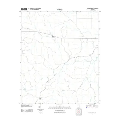 2012 Fearns Springs2012 Print · USGSWinston County is shown in this survey as a landscape of small rural settlements and creek-side cemeteries in the early 2010s. Researchers can locate numerous family burial sites such as Choctaw Cem and Hemphill Cem or trace the waters of Dancing Rabbit Cr.
 - 2012 Map of Preston, 2012 Print
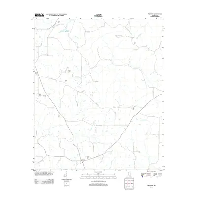 2012 Preston2012 Print · USGSEastern Mississippi's rural character is preserved here in the early twenty-first century, showing the enduring network of family homesteads and churchyards. Researchers can trace ancestral locations through sites like Pleasant Springs Church Cem and the Rosamond Family Cem.
 - 2012 Map of Barge Lake, 2012 Print
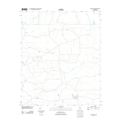 2012 Barge Lake2012 Print · USGSWinston County, Mississippi, was a landscape of timber-rich creek bottoms and quiet rural corners in the early 2010s. Researchers can locate family burial sites at Antioch Cem and Harrington Cem or trace old wood-hauling routes like Dummy Line Rd near Barge Lake.
 - 2012 Map of Vernon, 2012 Print
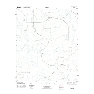 2012 Vernon2012 Print · USGSNanih Waiya and its surrounding Mississippi wetlands are captured here in the early twenty-first century. Researchers can trace ancestral connections through several local landmarks like Prince Chapel, Vernon Cemetery, and the settlement at Claytown.
 - 2012 Map of Bradley, 2012 Print
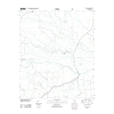 2012 Bradley2012 Print · USGSOktibbeha County at the start of the decade reveals a network of rural settlements and family burial grounds tied to the Noxubee River. Genealogists and local historians can trace family roots through sites like Morgan Chapel Cem, McClelland Cem, and the community of Craig Springs.
 - 2012 Map of Betheden, 2012 Print
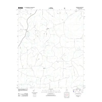 2012 Betheden2012 Print · USGSWinston County's rural landscape is captured here in the early twenty-first century, showing a network of established timberlands and small settlements. Researchers can trace family history through numerous local burial grounds like Betheden Cem and Oliver Cem near the banks of Nanih Waiya Cr.
 - 2012 Map of Bluff Lake, 2012 Print
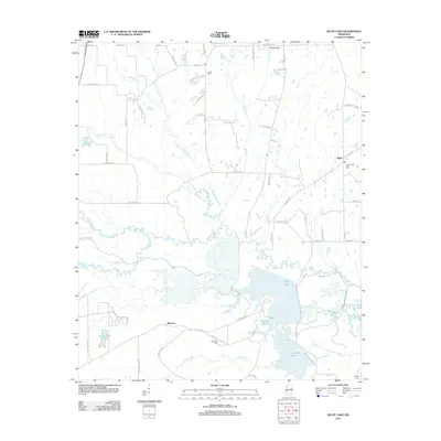 2012 Bluff Lake2012 Print · USGSEastern Mississippi's wetland and rural landscape is documented here in the early twenty-first century, centered on the Noxubee River basin. Genealogists and historians can trace local family landmarks and burial sites such as Bethel Cem, Noxubee Cem, and the community of Oktoc.
 - 2012 Map of Louisville SW, 2012 Print
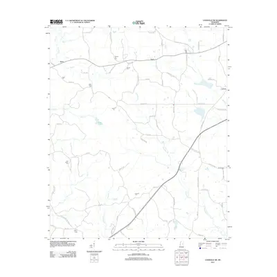 2012 Louisville SW2012 Print · USGSWinston County's rural backcountry is documented here in the early twenty-first century, showing a landscape defined by family farms and creek bottoms. Researchers can locate numerous local burial sites like White Hall Cem and Hopewell Cem or trace old property access via Sam Ingram Rd.
 - 2012 Map of Noxapater, 2012 Print
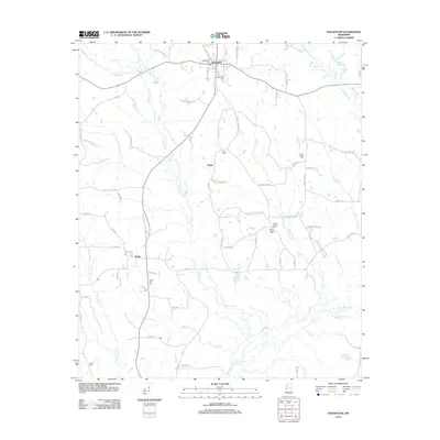 2012 Noxapater2012 Print · USGSWinston County, Mississippi, is shown here in the early twenty-first century, centered on the community of Noxapater and its surrounding rural timberlands. Genealogists and local historians can trace family locations near Stallo or locate several burial sites like Union Ridge Cem and Salem Cem.
 - 2012 Map of Ethel SE, 2012 Print
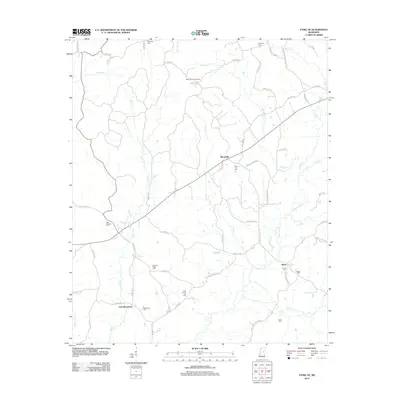 2012 Ethel SE2012 Print · USGSCentral Mississippi's rural character is preserved in this 2012 survey of the Winston County countryside. Genealogists can trace family burial sites at Rural Hill Cem and Nebo Cem or locate the McCool Lookout Tower near Hinze.
 - 2012 Map of Highpoint, 2012 Print
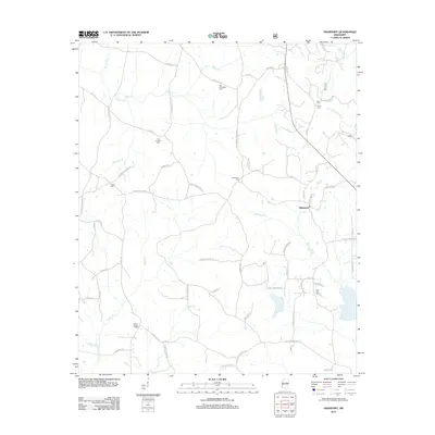 2012 Highpoint2012 Print · USGSHighpoint and the surrounding Winston County countryside are captured here in the early twenty-first century. Genealogists can trace family heritage through numerous burial sites like Old Concord Cem, Salem Cem, and New Zion Cem along the winding banks of Tallahaga Cr.
 - 2012 Map of Sturgis, 2012 Print
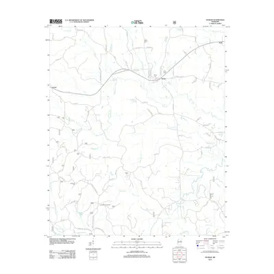 2012 Sturgis2012 Print · USGSNear the headwaters of the Noxubee River, this early twenty-first-century survey captures the rural character of Oktibbeha County. Researchers can locate several historical burial grounds including Old Sturgis Cem and Blackwood Cem, or trace the winding course of Bogue Fallah.
 - 2012 Map of Louisville South, 2012 Print
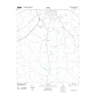 2012 Louisville South2012 Print · USGSLouisville and the rural reaches of Winston County are documented here in the early twenty-first century. Researchers can trace family sites across the countryside at Flower Ridge Cem or Johnson Cem, and locate the small communities of Center Ridge and Estes.
 - 2012 Map of Louisville North, 2012 Print
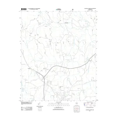 2012 Louisville North2012 Print · USGSWinston County in the early 2010s shows a landscape defined by the winding Noxubee River and the northern growth of the county seat. Researchers can trace rural family roots at Tanksley Cemetery or locate landmarks like the Winston Lookout Tower and Evergreen.
 - 2012 Map of Plattsburg, 2012 Print
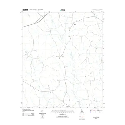 2012 Plattsburg2012 Print · USGSWinston County life centers on the rural communities of Liberty and Plattsburg during the early twenty-first century. Genealogists can trace family roots through numerous burial sites like Sand Hill Cem and Mount Talley Cem along the waters of Pinishook Cr.
 - 2012 Map of Four Corners, 2012 Print
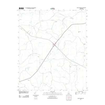 2012 Four Corners2012 Print · USGSWinston County, Mississippi, is mapped here in the early twenty-first century, showing a landscape defined by creeks and timbered hills. Genealogists and local historians can pinpoint several rural cemeteries like Rattletrap Cem and Shields Cem or locate the Mars Hill Lookout Tower.
 - 2015 Map of Vernon, 2015 Print
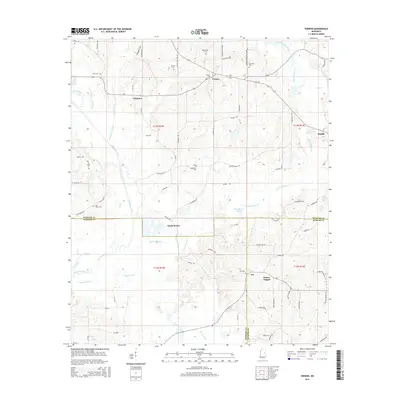 2015 Vernon2015 Print · USGSThe borderlands of Winston, Neshoba, and Kemper Counties are shown here during the early twenty-first century. Genealogists can trace family connections through numerous sites like Prince Chapel, Middleton Cem, and the rural crossroads of Nanih Waiya.
 - 2015 Map of Preston, 2015 Print
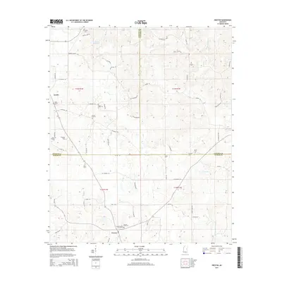 2015 Preston2015 Print · USGSThe rural borders of Winston, Noxubee, and Kemper counties are mapped here during the mid-2010s, showing a landscape shaped by timber and tradition. Genealogists can trace numerous local burial sites including Jackson Field Cem, Mount Pisgah Cem, and the Tubb Cem near Preston.
 - 2015 Map of Noxapater, 2015 Print
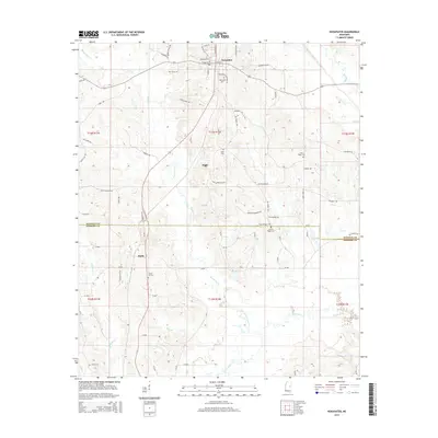 2015 Noxapater2015 Print · USGSWinston County and the Neshoba county line were dominated by small timber-belt settlements and quiet family homesteads in the mid-2010s. Researchers can locate specific burial grounds and crossroads like Mount Ary Cemetery, Stallo, and Noxapater Cemetery near the upper reaches of the Pearl River.
 - 2015 Map of Four Corners, 2015 Print
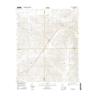 2015 Four Corners2015 Print · USGSThe rural interior of Mississippi comes into focus here at the meeting point of Attala, Winston, Leake, and Neshoba counties. Researchers can trace family roots through several local cemeteries including Ebenezer Cem, Sullivan Cem, and the oddly named Rattletrap Cem.
 - 2015 Map of Boon, 2015 Print
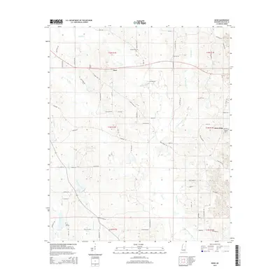 2015 Boon2015 Print · USGSWinston County settlements and community life are well-documented in this mid-2010s survey of the Mississippi interior. Researchers can locate many local burial grounds and landmarks, including Ellison Ridge Cem, Rocky Hill Cem, and the headwaters of Nanih Waiya Creek.
 - 2015 Map of Barge Lake, 2015 Print
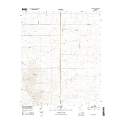 2015 Barge Lake2015 Print · USGSThe Winston and Noxubee county line area was a landscape of timber-rail corridors and rural creek bottoms during the mid-2010s. Researchers can trace family history at Antioch Cem and Sixteen Cem or locate old landmarks like Barge Lake and Barge Firetower Rd.
 - 2015 Map of Bradley, 2015 Print
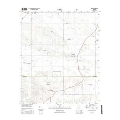 2015 Bradley2015 Print · USGSNorth-central Mississippi is defined by its deep timberlands and winding creek bottoms during this era of rural continuity. Genealogists can trace family names and historic burial sites like Morgan Chapel Cem and Pugh Cem near the Noxubee River.
 - 2015 Map of Ethel SE, 2015 Print
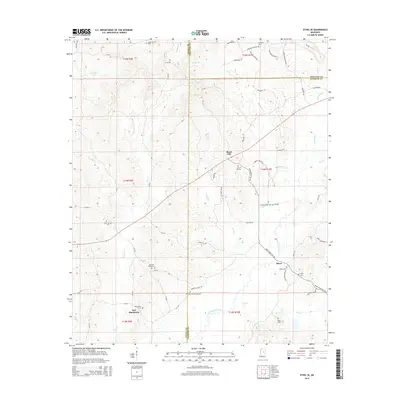 2015 Ethel SE2015 Print · USGSThe tri-county border of Attala, Choctaw, and Winston counties comes into focus in this recent survey of central Mississippi. Genealogists and local historians can locate numerous family burial sites and rural communities like Rural Hill, Hinze, and Doty Springs Cemetery.
Showing maps 1-25 of 51
Top cities of Winston County
Frequently asked questions
- What are the different types of historical maps available for Winston County?
- What is the oldest map of Winston County?
- Where can I purchase historical maps of Winston County for my home or office?
- Where can I download high-res historical maps of Winston County?
- Are there historical topographic maps available for Winston County?
- Is there historical aerial imagery available for Winston County?
- Where are historical maps of Winston County sourced from?