Old Maps of Higginsville, Missouri for Academic Research
Study the evolution of Higginsville with 27 high-resolution historic maps. Whether you're teaching, researching, or modeling changes in land use, these maps provide essential visual documentation of urban, environmental, and geographic change.
- Analyze long-term change: Track patterns in development, transportation, and natural features.
- Ideal for environmental or urban studies: Support academic projects with primary historical map data.
- Use in the classroom or lab: Educators and researchers rely on these maps to bring historical context to life.
These maps are a powerful tool for teaching, research, and visualizing how Higginsville has changed over the decades.
Higginsville, MO maps
(27)- 1885 Map of Warrensburg, 1954 Print
 1885 Warrensburg1954 Print · USGSJohnson County and the surrounding Missouri prairie are captured here during the 1880s as the railroad era transformed the region. Researchers can trace the early footprints of settlements like Warrensburg, identify historic mines at Carbon Hill, and locate old landmarks like Iron Spring and Normal school.
 - 1887 Map of Warrensburg
 1887 Warrensburg1887 Print · USGSMissouri's central plains are captured here in the mid-1880s, documenting the vital rail corridor through Warrensburg and Knob Noster. Genealogists can trace early homesteads near Carbon Hill, Chilhowee, or the Iron Spring during a period of rapid agricultural growth.
 - 1889 Map of Lexington
 1889 Lexington1889 Print · USGSLafayette and Ray Counties are captured here during the late nineteenth-century rail boom. Researchers can trace the development of river towns and rail junctions like Lexington, Lexington Junction, and the riverside landing at Miles Point.6 unique versions available
 - 1894 Map of Warrensburg
 1894 Warrensburg1894 Print · USGSJohnson County was a burgeoning rail and coal hub in the 1890s, anchored by the growth of Warrensburg. Researchers can trace old family sites and transport routes through vanished mining points like Carbon Hill and rural stops such as Cornelia and Iron Spring.5 unique versions available
 - 1917 Map of Knobnoster
 1917 Knobnoster1917 Print · USGSSettlement and education are deeply rooted in this early twentieth-century survey of Johnson County, Missouri. Genealogists can trace family school districts like Hepsidam School and Union Prairie School or locate early rail stops at Knobnoster and Montserrat.3 unique versions available
 - 1947 Map of Jefferson City, 1949 Print
 1947 Jefferson City1949 Print · USGSCentral Missouri and the northern Ozarks come into focus in this late 1940s survey of the river-and-rail landscape. Genealogists and historians can trace the growth of Jefferson City and Sedalia or locate family roots near Bagnell Dam and the Lake of the Ozarks.
 - 1951 Map of Higginsville
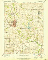 1951 Higginsville1951 Print · USGSHigginsville and Corder thrive as mid-century rail and mining centers in Lafayette County. Researchers can trace the Gulf Mobile and Ohio tracks past the Confederate Home or locate rural landmarks like Peacock Sch and Calvary Cem.
 - 1953 Map of Moberly
 1953 Moberly1953 Print · USGSMid-century north-central Missouri is documented here as a bustling intersection of river commerce and heavy rail. Researchers can trace historic family-named landmarks and transport hubs from the Missouri River corridor to the rail yards of Moberly, Chillicothe, and Macon.
 - 1954 Map of Jefferson City
 1954 Jefferson City1954 Print · USGSCentral Missouri in the early postwar years showcases a landscape defined by the winding Lake of the Ozarks and the state capital at Jefferson City. Researchers can trace the mid-century rail networks of the Missouri Pacific RR and locate rural communities like Tuscumbia, St Elizabeth, and St Anthony.2 unique versions available
 - 1954 Map of Moberly, 1969 Print
 1954 Moberly1969 Print · USGSMid-century Missouri is captured here during a period of transition for its river towns and rail hubs. Genealogists and historians can trace the paths of the Wabash railroad through Moberly or explore the riverside layout of Lexington and Brunswick.3 unique versions available
 - 1955 Map of Jefferson City, 1967 Print
 1955 Jefferson City1967 Print · USGSCentral Missouri in the mid-fifties is defined by the winding Missouri River and the expanding reach of Lake of the Ozarks. Researchers can trace the rail corridors of the Missouri Pacific or locate the early footprint of Whiteman AFB and Jefferson City.4 unique versions available
 - 1957 Map of Moberly
 1957 Moberly1957 Print · USGSNorth-central Missouri in the late nineteen-forties and fifties remains a landscape defined by its great rivers and a dense network of steam and diesel rail lines. Genealogists and historians can trace the paths of the Wabash RR and Santa Fe RR through historic junctions like Moberly, Brookfield, and Macon.
 - 1958 Map of Jefferson City
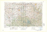 1958 Jefferson City1958 Print · USGSCentral Missouri in the late fifties shows a region transforming through the growth of Whiteman Air Force Base and the Lake of the Ozarks. Researchers can trace rail lines like the Missouri Pacific or find family roots at Enloe Cemetery and Mount Pleasant Cem.
 - 1959 Map of Jefferson City
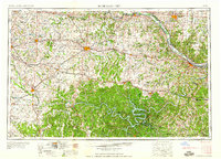 1959 Jefferson City1959 Print · USGSCentral Missouri is captured during the mid-fifties as the river economy and rail networks like the Missouri Pacific met the rise of the automobile. Local researchers can trace family landmarks and rural infrastructure from the Lake of the Ozarks up to Providence Cemetery and Knob Noster State Park.
 - 1959 Map of Higginsville, 1979 Print
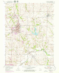 1959 Higginsville1979 Print · USGSHigginsville and Corder appear at a peak of mid-century industrial and rail activity, surrounded by the coal mines of Lafayette County. Genealogists and local historians can trace the sites of the Confederate Home, several rural schoolhouses like Beatie Sch, and family cemeteries including Page Cem.
 - 1960 Map of Moberly
 1960 Moberly1960 Print · USGSCentral Missouri comes alive in the mid-twentieth century as a bustling network of river towns and significant rail corridors. Genealogists and historians can trace the paths of the Wabash RR through Moberly or explore the riverfronts of Lexington and Brunswick.
 - 1961 Map of Knob Noster NW, 1964 Print
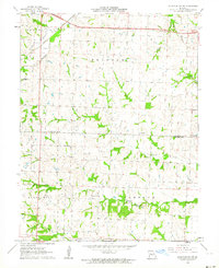 1961 Knob Noster NW1964 Print · USGSLafayette and Johnson Counties are documented in the early sixties as the rural landscape remained centered on rail-and-road farming hubs. Genealogists and historians can trace the foundations of Ernestville, locate the New Hope Cem, and follow the Missouri Pacific railroad line.2 unique versions available
 - 1982 Map of Marshall
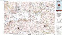 1982 Marshall1982 Print · USGSMid-Missouri river life and rail history meet in this early 1980s landscape, centered on the Missouri's winding course. Researchers can trace the historic Santa Fe Trail and explore sites like the Confederate Memorial State Park and Carrollton Mem Cemetery.
 - 1983 Map of Sedalia
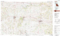 1983 Sedalia1983 Print · USGSWest Central Missouri's landscape in the early eighties shows a dense network of rail towns and riverside communities along the Blackwater River. Genealogists and historians can trace the development of Warrensburg and Sedalia near Whiteman Air Force Base and Knob Noster State Park.
 - 2011 Map of Knob Noster NW, 2011 Print
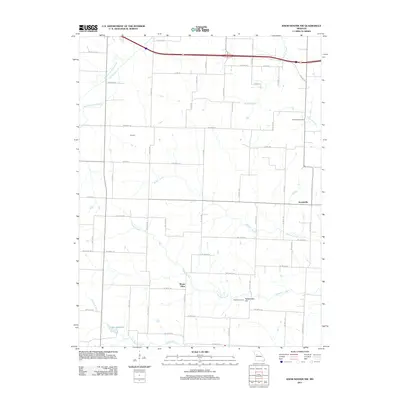 2011 Knob Noster NW2011 Print · USGSThe rural countryside near Higginsville remains deeply rooted in its agricultural heritage in the early 2010s. Genealogists and local historians can trace family locations near Ernestville, Mount Olive, and the historic Foster Cemetery.
 - 2012 Map of Higginsville, 2012 Print
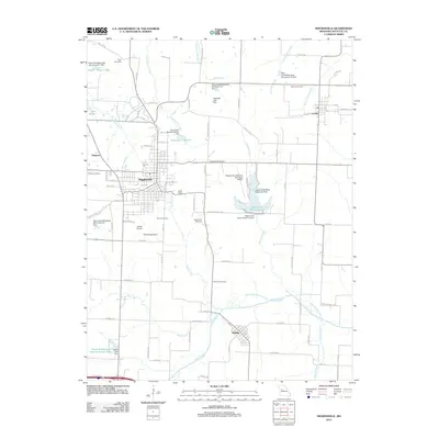 2012 Higginsville2012 Print · USGSLafayette County enters the second decade of the millennium with a landscape defined by its small-town hubs and extensive watershed management. Family historians can trace ancestral sites at Page Cemetery and Brand Cemetery, or locate old homesteads near Corder and Aullville.
 - 2014 Map of Knob Noster NW, 2014 Print
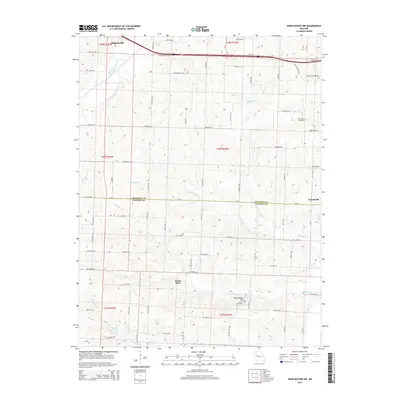 2014 Knob Noster NW2014 Print · USGSLafayette and Johnson counties are captured in the early 21st century as agricultural traditions meet modern transit corridors. Genealogists and local historians can trace family land proximity to landmarks like New Hope Cemetery, Mount Olive, and the waters of Mulkey Cr.
 - 2015 Map of Higginsville, 2015 Print
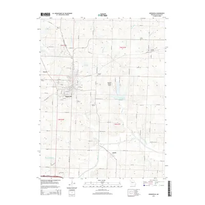 2015 Higginsville2015 Print · USGSLafayette County enters the mid-2010s with its rural heritage and municipal infrastructure in clear view. Local historians can trace the paths of the Coal Railroad through Corder or locate family plots in the Republican Cemetery and Calvary Cemetery.
 - 2017 Map of Knob Noster NW, 2017 Print
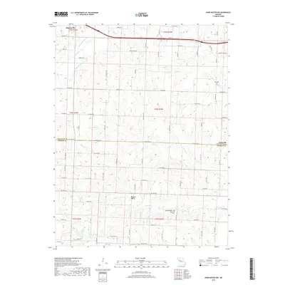 2017 Knob Noster NW2017 Print · USGSLafayette and Johnson Counties are captured here in the late twenty-teens, showing a rural Missouri landscape of family farms and creek-fed valleys. Genealogists and local historians can trace legacy sites like New Hope Cem, the community of Mount Olive, and the waters of Mulkey Cr.
 - 2017 Map of Higginsville, 2017 Print
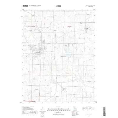 2017 Higginsville2017 Print · USGSLafayette County appears in detail during the late 2010s, centering on the regional hub of Higginsville and its surrounding rural townships. Researchers can trace local lineage through several burial sites like City Cem and Republican Cem, or explore the landscape of Frank Riekhof and William Nuelle Lake.
Showing maps 1-25 of 27
Top cities near Higginsville
- Richmond historical maps
- Odessa historical maps
- Lexington historical maps
- Concordia historical maps
- Waverly historical maps
- Hardin historical maps
See more
Frequently asked questions
- What are the different types of historical maps available for Higginsville?
- What is the oldest map of Higginsville?
- Where can I purchase historical maps of Higginsville for my home or office?
- Where can I download high-res historical maps of Higginsville?
- Are there historical topographic maps available for Higginsville?
- Is there historical aerial imagery available for Higginsville?
- Where are historical maps of Higginsville sourced from?