2000s (21st Century) Maps of Odessa, Missouri
Explore 8 historic maps of Odessa from the 2000s (21st Century). These maps offer a rare glimpse into what life looked like during the 2000s — showing old roads, neighborhoods, homes, and landmarks that have changed or disappeared over time.
Whether you're researching your family's past, planning a metal detecting trip, or studying how Odessa's landscape evolved across the 2000s, these high-resolution maps are a powerful tool for exploring the history of this region.
- Focus on a specific era: All maps on this page are from the 2000s, giving you a focused view of this time period.
- See what’s changed: Compare century-old streets, trails, and buildings to today's modern landscape using overlays and satellite layers.
- Research with precision: Use these maps for genealogy, historical research, land use analysis, or educational projects.
- View, download, or print: Maps are fully viewable online in high resolution, and can be downloaded or printed for your own records.
Start exploring Odessa's history through authentic maps from the 2000s. This is your window into the past.
Odessa, MO maps
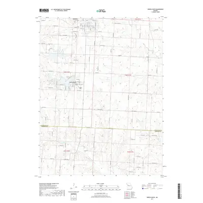
(8)- 2011 Map of Odessa South, 2011 Print
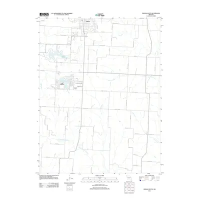 2011 Odessa South2011 Print · USGSCovers Odessa, including Lake Lafayette, Johnson County, and other nearby areas
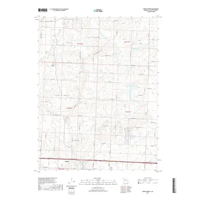
 - 2012 Map of Odessa North, 2012 Print
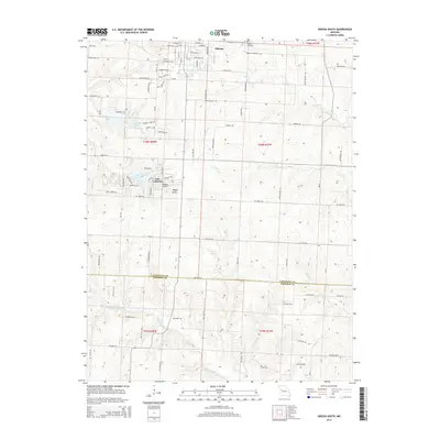
 2012 Odessa North2012 Print · USGSCovers Odessa, including Greenton, Lafayette County, and other nearby areas
 - 2014 Map of Odessa South, 2014 Print
 2014 Odessa South2014 Print · USGSCovers Odessa, including Lake Lafayette, Johnson County, and other nearby areas
 - 2015 Map of Odessa North, 2015 Print
 2015 Odessa North2015 Print · USGSCovers Odessa, including Greenton, Lafayette County, and other nearby areas
 - 2017 Map of Odessa South, 2017 Print
 2017 Odessa South2017 Print · USGSCovers Odessa, including Lake Lafayette, Johnson County, and other nearby areas
 - 2017 Map of Odessa North, 2017 Print
 2017 Odessa North2017 Print · USGSCovers Odessa, including Greenton, Lafayette County, and other nearby areas
 - 2021 Map of Odessa South, 2021 Print
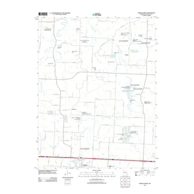
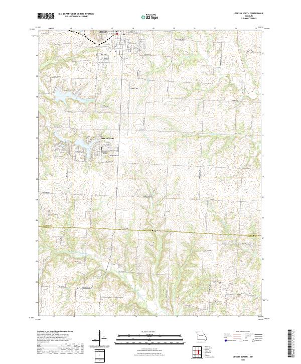 2021 Odessa South2021 Print · USGSLafayette County farmland meets the growing edges of the city in the early 2020s. Researchers can trace the layout of the Odessa Cemetery, identify local landmarks like Wagon Knob, and explore the residential development surrounding Lake Lafayette.
 - 2021 Map of Odessa North, 2021 Print
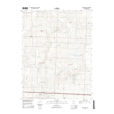
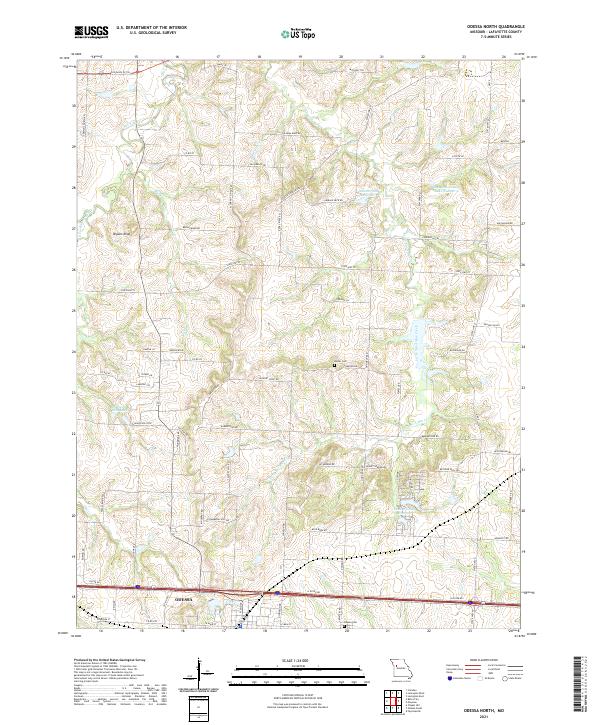 2021 Odessa North2021 Print · USGSThe northern environs of Odessa are shown here as they appeared in the early 2020s, dominated by the drainage basins of Sni-A-Bar Creek. Local historians can trace historical routes like the Old Santa Fe Trl and find family-named landmarks such as the Barker Cem and Flournoy School Rd.
End of results
Showing maps 1-8 of 8
Top cities near Odessa
- Warrensburg historical maps
- Grain Valley historical maps
- Oak Grove historical maps
- Higginsville historical maps
- Lexington historical maps
- Buckner historical maps
See more
Frequently asked questions
- What are the different types of historical maps available for Odessa?
- What is the oldest map of Odessa?
- Where can I purchase historical maps of Odessa for my home or office?
- Where can I download high-res historical maps of Odessa?
- Are there historical topographic maps available for Odessa?
- Is there historical aerial imagery available for Odessa?
- Where are historical maps of Odessa sourced from?