2000s (21st Century) Maps of Macon County, Missouri
Explore 96 historic maps of Macon County from the 2000s (21st Century). These maps offer a rare glimpse into what life looked like during the 2000s — showing old roads, neighborhoods, homes, and landmarks that have changed or disappeared over time.
Whether you're researching your family's past, planning a metal detecting trip, or studying how Macon County's landscape evolved across the 2000s, these high-resolution maps are a powerful tool for exploring the history of this region.
- Focus on a specific era: All maps on this page are from the 2000s, giving you a focused view of this time period.
- See what’s changed: Compare century-old streets, trails, and buildings to today's modern landscape using overlays and satellite layers.
- Research with precision: Use these maps for genealogy, historical research, land use analysis, or educational projects.
- View, download, or print: Maps are fully viewable online in high resolution, and can be downloaded or printed for your own records.
Start exploring Macon County's history through authentic maps from the 2000s. This is your window into the past.
Macon County, MO maps
(96)- 2012 Map of Nind, 2012 Print
 2012 Nind2012 Print · USGSCovers Macon County, including Nind, Loeffler, and other nearby areas
 - 2012 Map of La Plata, 2012 Print
 2012 La Plata2012 Print · USGSCovers Macon County, including La Plata, Gibbs, and other nearby areas
 - 2012 Map of Gifford, 2012 Print
 2012 Gifford2012 Print · USGSCovers Macon County, including Simler, Yarrow, and other nearby areas
 - 2012 Map of Locust Hill, 2012 Print
 2012 Locust Hill2012 Print · USGSCovers Macon County, including Locust Hill, Adair County, and other nearby areas
 - 2012 Map of Millard, 2012 Print
 2012 Millard2012 Print · USGSCovers Macon County, including La Plata, Millard, and other nearby areas
 - 2012 Map of College Mound, 2012 Print
 2012 College Mound2012 Print · USGSCovers Macon County, including Darksville, College Mound, and other nearby areas
 - 2012 Map of Bevier North, 2012 Print
 2012 Bevier North2012 Print · USGSCovers Macon County, including Macon, Bevier, and other nearby areas
 - 2012 Map of Duncans Bridge, 2012 Print
 2012 Duncans Bridge2012 Print · USGSCovers Macon County, including Woodville, Levick Mill, and other nearby areas
 - 2012 Map of Axtell, 2012 Print
 2012 Axtell2012 Print · USGSCovers Macon County, including Macon, Axtell, and other nearby areas
 - 2012 Map of Sue City, 2012 Print
 2012 Sue City2012 Print · USGSCovers Macon County, including Lakeland, Goodland, and other nearby areas
 - 2012 Map of Elmer, 2012 Print
 2012 Elmer2012 Print · USGSCovers Macon County, including Ethel, Elmer, and other nearby areas
 - 2012 Map of Clarence, 2012 Print
 2012 Clarence2012 Print · USGSCovers Macon County, including Clarence, Anabel, and other nearby areas
 - 2012 Map of Redman, 2012 Print
 2012 Redman2012 Print · USGSCovers Macon County, including Clarence, Redman, and other nearby areas
 - 2012 Map of New Cambria East, 2012 Print
 2012 New Cambria East2012 Print · USGSCovers Macon County, including Callao, New Cambria, and other nearby areas
 - 2012 Map of Prairie Hill, 2012 Print
 2012 Prairie Hill2012 Print · USGSCovers Macon County, including Hubbard, Prairie Hill, and other nearby areas
 - 2012 Map of Barnesville, 2012 Print
 2012 Barnesville2012 Print · USGSCovers Macon County, including Barnesville, Plainview, and other nearby areas
 - 2012 Map of New Cambria West, 2012 Print
 2012 New Cambria West2012 Print · USGSCovers Macon County, including Bucklin, New Cambria, and other nearby areas
 - 2012 Map of Atlanta, 2012 Print
 2012 Atlanta2012 Print · USGSCovers Macon County, including Love Lake, Economy, and other nearby areas
 - 2012 Map of New Boston, 2012 Print
 2012 New Boston2012 Print · USGSCovers Macon County, including New Boston, Goldsberry, and other nearby areas
 - 2012 Map of Jacksonville, 2012 Print
 2012 Jacksonville2012 Print · USGSCovers Macon County, including Cairo, Jacksonville, and other nearby areas
 - 2012 Map of Macon, 2012 Print
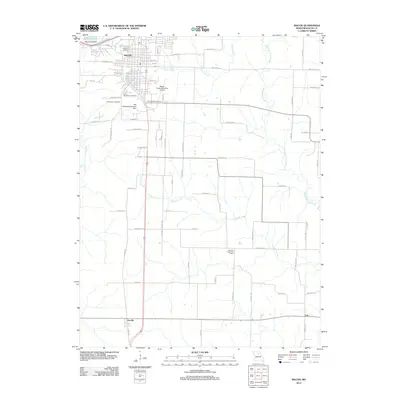 2012 Macon2012 Print · USGSCovers Macon County, including Macon, Cox, and other nearby areas
 - 2012 Map of Lagonda, 2012 Print
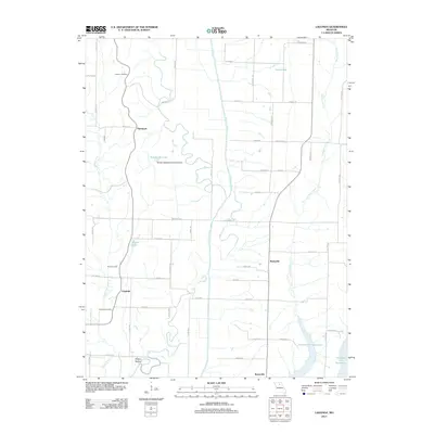 2012 Lagonda2012 Print · USGSCovers Macon County, including Barryville, Lagonda, and other nearby areas
 - 2012 Map of Bevier South, 2012 Print
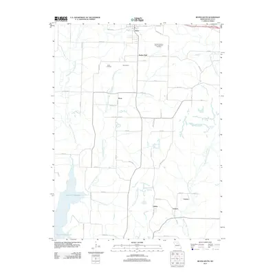 2012 Bevier South2012 Print · USGSCovers Macon County, including Macon, Bevier, and other nearby areas
 - 2012 Map of Wien, 2012 Print
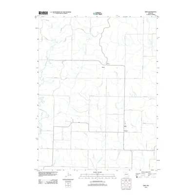 2012 Wien2012 Print · USGSCovers Macon County, including Heuer, Wien, and other nearby areas
 - 2014 Map of Lagonda, 2014 Print
 2014 Lagonda2014 Print · USGSCovers Macon County, including Barryville, Lagonda, and other nearby areas
Showing maps 1-25 of 96
Top cities of Macon County
- Macon historical maps
- La Plata historical maps
- Bevier historical maps
- Callao historical maps
- New Cambria historical maps
- Ethel historical maps
See more
Frequently asked questions
- What are the different types of historical maps available for Macon County?
- What is the oldest map of Macon County?
- Where can I purchase historical maps of Macon County for my home or office?
- Where can I download high-res historical maps of Macon County?
- Are there historical topographic maps available for Macon County?
- Is there historical aerial imagery available for Macon County?
- Where are historical maps of Macon County sourced from?