2010s Maps of Monroe County, Missouri
Explore 69 historic maps of Monroe County from the 2010s. These maps offer a rare glimpse into what life looked like during the 2010s — showing old roads, neighborhoods, homes, and landmarks that have changed or disappeared over time.
Whether you're researching your family's past, planning a metal detecting trip, or studying how Monroe County's landscape evolved across the 2010s, these high-resolution maps are a powerful tool for exploring the history of this region.
- Focus on a specific era: All maps on this page are from the 2010s, giving you a focused view of this time period.
- See what’s changed: Compare century-old streets, trails, and buildings to today's modern landscape using overlays and satellite layers.
- Research with precision: Use these maps for genealogy, historical research, land use analysis, or educational projects.
- View, download, or print: Maps are fully viewable online in high resolution, and can be downloaded or printed for your own records.
Start exploring Monroe County's history through authentic maps from the 2010s. This is your window into the past.
Monroe County, MO maps
(69)- 2012 Map of Clarence Cannon Dam, 2012 Print
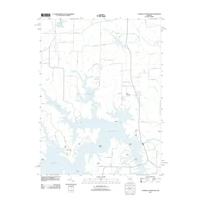 2012 Clarence Cannon Dam2012 Print · USGSMark Twain Lake and the Salt River valley are shown here in the early twenty-first century as recreational development surrounds the reservoir. Genealogists can locate Utterback Cemetery and Crigler Cemetery, or trace submerged history at Shaver Ford.
 - 2012 Map of Goss, 2012 Print
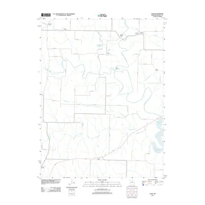 2012 Goss2012 Print · USGSMonroe County in the early twenty-first century reveals a landscape defined by the expansive Mark Twain Lake and its many winding tributaries. Genealogists can locate several family landmarks, such as Bowers Cemetery, Crutcher Cemetery, and the settlement at Goss.
 - 2012 Map of Florida, 2012 Print
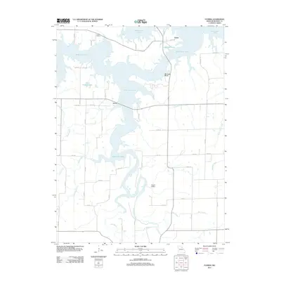 2012 Florida2012 Print · USGSMonroe County was undergoing significant hydrological changes in the early 21st century as the waters of Mark Twain Lake shaped the local geography. Researchers can find old family sites near Hawkins Cemetery, the settlement of Florida, and the heights of Buzzards Roost.
 - 2012 Map of Hutchison, 2012 Print
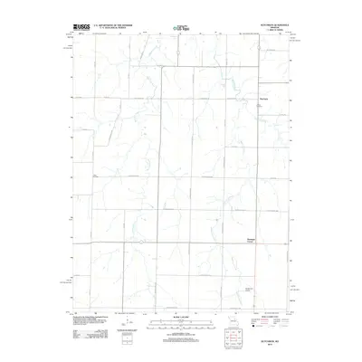 2012 Hutchison2012 Print · USGSNortheast Missouri agriculture and creek drainage systems are visible in this early 21st-century survey of the Laddonia area. Genealogists and historians can trace family locations near Corinth Cemetery, Hutchison, and Bassinger Corner.
 - 2012 Map of Santa Fe, 2012 Print
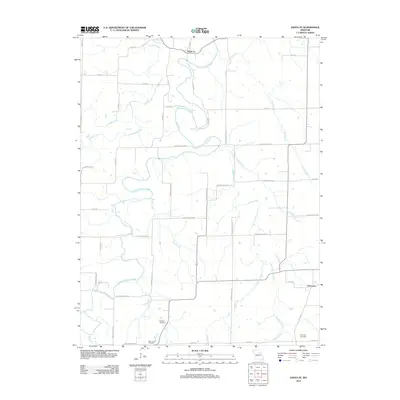 2012 Santa Fe2012 Print · USGSThe quiet agricultural lands of Audrain County are documented here in the early twenty-first century. Genealogists and local historians can locate Eubank Cemetery, Bean Creek Cemetery, and trace the paths of the South Fork Salt River and Littleby Creek.
 - 2012 Map of Monroe City, 2012 Print
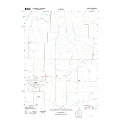 2012 Monroe City2012 Print · USGSMonroe City and its surrounding rural townships are shown here in the early twenty-first century, just as the local infrastructure was expanding. Genealogists and local historians can trace burial sites at Saint Judes Cemetery or locate the early rail-aligned settlements of Ely and Hassard.
 - 2012 Map of Lakenan, 2012 Print
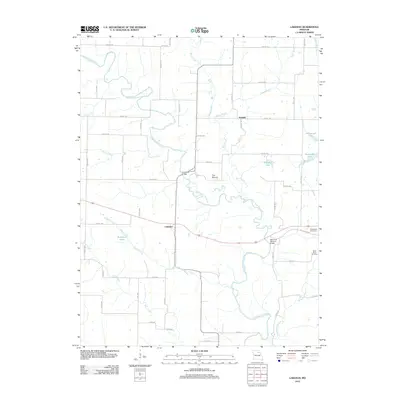 2012 Lakenan2012 Print · USGSShelby County’s agricultural heartland is documented here in the early twenty-first century, centered on the communities of Lakenan and Kendall. Local researchers can trace family landmarks and rural infrastructure, from Hunnewell Cemetery and Saint Johns Cemetery to the historic Kincheloe Bridge over the North Fork Salt River.
 - 2012 Map of Paris East, 2012 Print
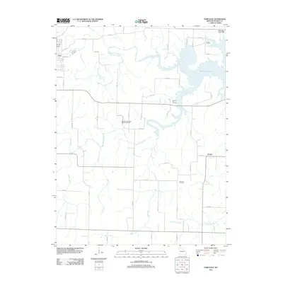 2012 Paris East2012 Print · USGSMonroe County terrain at the start of the 2010s shows the extensive reach of Mark Twain Lake into the Salt River valley. Researchers can trace rural lineages through the Scobee Cemetery, Pleasant Hill Cemetery, and the tiny settlement of Strother.
 - 2012 Map of Perry, 2012 Print
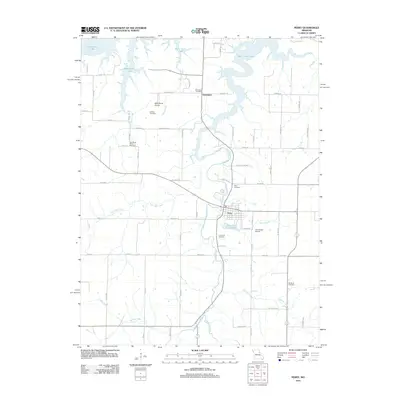 2012 Perry2012 Print · USGSPerry and its surrounding Ralls County countryside are shown here in the early twenty-first century as they interface with the waters of Mark Twain Lake. Researchers can locate several rural burial grounds, including Old Mount Prairie Cemetery and Wolf Cemetery, or trace local landmarks like Jim Gough Airport.
 - 2012 Map of Stoutsville, 2012 Print
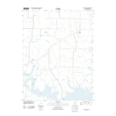 2012 Stoutsville2012 Print · USGSMonroe County in the early twenty-first century shows a landscape transformed by the waters of Mark Twain Lake. Researchers can trace local heritage at Saint Andrews Cemetery, locate the old Kitty Wheelin Ford, or explore the small settlements of Stoutsville and Clapper.
 - 2012 Map of Molino, 2012 Print
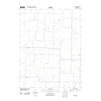 2012 Molino2012 Print · USGSAudrain County at the start of the 2010s is a landscape of winding creeks and quiet rural crossroads. Researchers can trace family history through New Hope Cemetery and Mount Zion Cemetery or locate the settlements of Molino and Hollensville.
 - 2012 Map of Hunnewell, 2012 Print
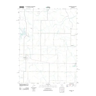 2012 Hunnewell2012 Print · USGSThe rural landscape around Hunnewell and Sharpsburg is captured here in the early twenty-first century. Genealogists and local historians can trace family land near How Cemetery or follow the waters of Indian Creek and Hunnewell Lake.
 - 2012 Map of Woodlawn, 2012 Print
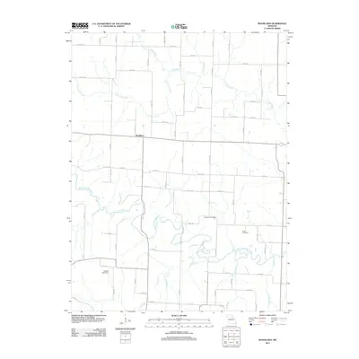 2012 Woodlawn2012 Print · USGSMonroe County's agricultural heartland is documented here during the early twenty-first century, centered on the Middle Fork Salt River. Local history researchers can pinpoint family burial sites at Atterberry Cemetery and Milner Cemetery or locate the Qualles Lake Dam.
 - 2012 Map of Duncans Bridge, 2012 Print
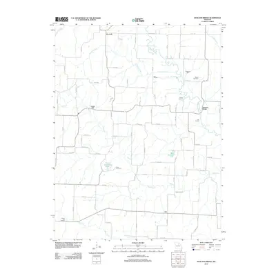 2012 Duncans Bridge2012 Print · USGSMacon County's agricultural heartland is documented here in the early 21st century, centered on the winding Middle Fork Salt River. Genealogists and local historians can locate many rural landmarks including Levick Mill, the Dean Cemetery, and the community of Woodville.
 - 2012 Map of Shelbina, 2012 Print
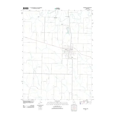 2012 Shelbina2012 Print · USGSShelbina and the surrounding Shelby County farmland are shown here in the early twenty-first century as the area remains a vital agricultural hub. Genealogists and local historians can trace family plots at Wood Cemetery and Smith Cemetery or locate the historic crossing at Salt River Bridge.
 - 2012 Map of Granville, 2012 Print
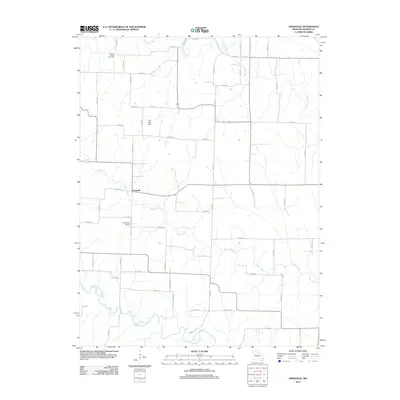 2012 Granville2012 Print · USGSGranville and the river valleys of Monroe County are captured here during the early twenty-first century. Genealogists and local historians can locate Spencer Chapel Cemetery, trace the winding Otter Creek, and see the layout of the Carl Ensor Airport.
 - 2012 Map of Clark, 2012 Print
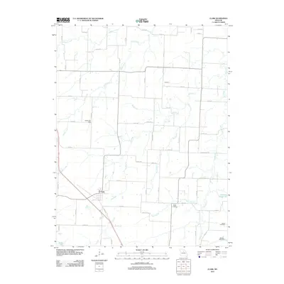 2012 Clark2012 Print · USGSAgricultural life in central Missouri is centered around Clark and the smaller community of Davenport during the early twenty-first century. Researchers can locate family landmarks like Mount Pisgah Cemetery and trace several water systems including Big Creek and Lick Fork.
 - 2012 Map of Middle Grove, 2012 Print
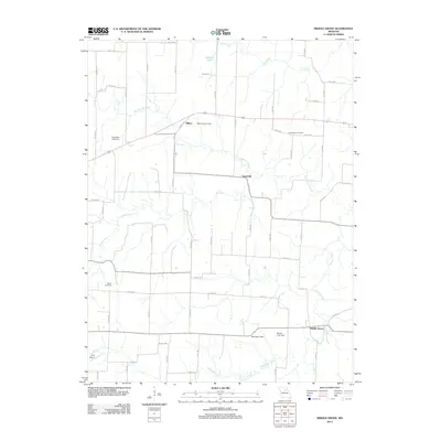 2012 Middle Grove2012 Print · USGSMonroe County settlements like Middle Grove and Evansville appear here in the early 2010s, surrounded by the waters of the Elk Fork Salt River. Genealogists and local historians can locate the Cottingham Cemetery and trace land around Johnson Lake.
 - 2012 Map of Tulip, 2012 Print
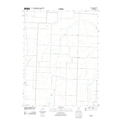 2012 Tulip2012 Print · USGSNorth of Centralia in the early twenty-first century, this Missouri landscape is defined by the crossroads at Tulip and Saling. Genealogists and local historians can trace the rural drainage of Goodwater Creek and find family-named landmarks like the Harry Freeman Dam.
 - 2012 Map of Paris West, 2012 Print
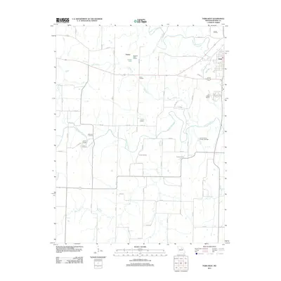 2012 Paris West2012 Print · USGSMonroe County's rural heartland is meticulously detailed in this early 21st-century survey, showing the landscape surrounding the western approach to the county seat. Family historians can trace ancestral locations through numerous burial sites like Boomer Cemetery and landmarks such as the Union Bridge and Fowkes.
 - 2012 Map of Madison, 2012 Print
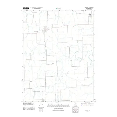 2012 Madison2012 Print · USGSMonroe County at the start of the 2010s reveals a landscape shaped by the Elk Fork Salt River and the rural communities of Madison and Holliday. Researchers can trace local lineage through sites like Sunset Hill Cemetery and Old Prairie Cemetery.
 - 2012 Map of Rowena, 2012 Print
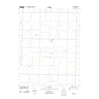 2012 Rowena2012 Print · USGSThe Missouri prairie around Rowena comes into focus in the early 2010s, showing a landscape shaped by rural industry and water management. Genealogists and local historians can trace family-named landmarks like Donaldson Lake Dam, Sudbrock Lake Dam, and Henry Lake Dam.
 - 2012 Map of Lentner, 2012 Print
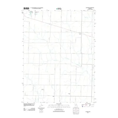 2012 Lentner2012 Print · USGSShelby County in the early 2010s reveals a structured agricultural landscape shaped by the paths of Crooked Creek and Otter Creek. Researchers can trace local landmarks like the Panhandle District, the settlement of Maud, and municipal works at New Lake.
 - 2014 Map of Clarence Cannon Dam, 2014 Print
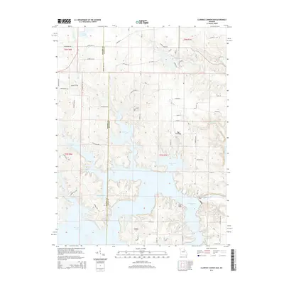 2014 Clarence Cannon Dam2014 Print · USGSThe Salt River valley in the early twenty-first century is defined by the massive Mark Twain Lake reservoir. Local historians and genealogists can trace the modern shoreline around the Clarence Cannon Dam and locate the Utterback Cemetery tucked between timbered hills.
 - 2014 Map of Clark, 2014 Print
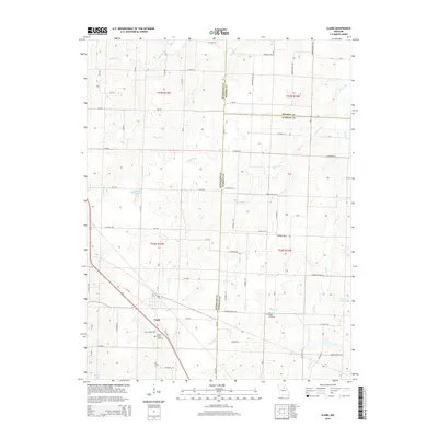 2014 Clark2014 Print · USGSNorth central Missouri farmland and the tri-county borders are captured here in the early twenty-first century. Genealogists can trace family locations near Clark and find burial sites at Chapel Grove Cemetery or the Mount Pisgah Cemetery along the local creek forks.
Showing maps 1-25 of 69
Top cities of Monroe County
- Paris historical maps
- Madison historical maps
- Holliday historical maps
- Stoutsville historical maps
- Goss historical maps
- Goss historical maps
Frequently asked questions
- What are the different types of historical maps available for Monroe County?
- What is the oldest map of Monroe County?
- Where can I purchase historical maps of Monroe County for my home or office?
- Where can I download high-res historical maps of Monroe County?
- Are there historical topographic maps available for Monroe County?
- Is there historical aerial imagery available for Monroe County?
- Where are historical maps of Monroe County sourced from?