
Historical Maps of St. Cloud, Minnesota
Journey back in time with 12 historical maps of St. Cloud, dating from 1950 to present day. Explore and discover the history of St. Cloud through detailed topographic maps, featuring cities, landmarks, and geographical changes. Dive deeper into each map with our interactive high-resolution viewer and extensive library data. Every map in our collection is also available for purchase as a framed or unframed museum-quality print for those interested interested in bringing a part of history into their home. Begin your historical adventure now!
St. Cloud, MN maps
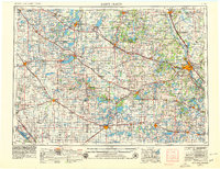
(12)- 1950 Map of St. Cloud, 1952 Print
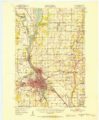 1950 St. Cloud1952 Print · USGSCovers portions of St. Cloud, including Benton County, Sherburne County, and others.
 - 1950 Map of St. Cloud, 1966 Print
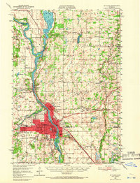 1950 St. Cloud1966 Print · USGSCovers portions of St. Cloud, including Benton County, Sherburne County, and others.
 - 1950 Map of St. Cloud, 1973 Print
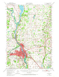 1950 St. Cloud1973 Print · USGSCovers portions of St. Cloud, including Benton County, Sherburne County, and others.
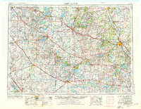
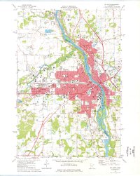
 - 1953 Map of Saint Cloud, 1968 Print
 1953 Saint Cloud1968 Print · USGSCovers portions of St. Cloud, including Stearns County, Douglas County, and others.
 - 1953 Map of Saint Cloud, 1976 Print
 1953 Saint Cloud1976 Print · USGSCovers portions of St. Cloud, including Stearns County, Douglas County, and others.
 - 1953 Map of Saint Cloud, 1979 Print
 1953 Saint Cloud1979 Print · USGSCovers portions of St. Cloud, including Stearns County, Douglas County, and others.
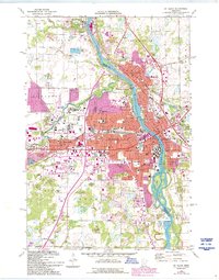
 - 1957 Map of Saint Cloud
 1957 Saint Cloud1957 Print · USGSCovers portions of St. Cloud, including Stearns County, Douglas County, and others.
 - 1958 Map of Saint Cloud
 1958 Saint Cloud1958 Print · USGSCovers portions of St. Cloud, including Stearns County, Douglas County, and others.
 - 1974 Map of St. Cloud, 1976 Print
 1974 St. Cloud1976 Print · USGSCovers portions of St. Cloud, including Benton County, Sherburne County, and others.
 - 1974 Map of St Cloud, 1993 Print
 1974 St Cloud1993 Print · USGSCovers portions of St. Cloud, including Stearns County, Benton County, and others.
Showing maps 1-10 of 12
Top cities related to St. Cloud
See more
Top counties related to St. Cloud
- Hennepin County, MN
- Ramsey County, MN
- Dakota County, MN
- Anoka County, MN
- Washington County, MN
- St. Louis County, MN
See more
Frequently asked questions
- Can I purchase a physical print of a historical map of St. Cloud?
- Why are historical maps of St. Cloud important for research and professional purposes?
- What types of historical maps are available for St. Cloud?
- What advanced features do you offer for professional use?
- How can I find a specific historical map of St. Cloud?
- How can I contribute a historical map of St. Cloud that's not in your collection?
- What is the oldest map of St. Cloud in your collection?
- How can I download a map of St. Cloud?