
Historical Maps of Wright County, Minnesota
What stories do these 100 old maps tell about Wright County's past? From 1909 to present day, these maps reveal the evolution of streets, neighborhoods, iconic landmarks, and natural features in stunning high-res detail. Whether you're a history enthusiast, genealogist, or professional in education, environmental work, or architecture, these maps are perfect for exploration, research, and discovery.
Discover Wright County's history through maps:
- Trace Wright County's growth: Explore earlier and latest maps and editions to uncover how the region changed over time.
- Examine technical details: Each map includes its creators, publishers, scale, dimensions, and full source information.
- Layer maps with modern tools & imagery: Compare historical maps to modern-day with high-resolution satellite imagery and detailed LiDAR layers.
- Sourced from trusted archives: Carefully preserved and digitized by institutions like the United Stated Geological Survey and the US Library of Congress.
- Access in any format: View and explore in high resolution, download for offline use, or order a museum-quality print for yourself or a loved one.
Begin your journey into Wright County's history with these remarkable must-see maps.
Wright County, MN maps
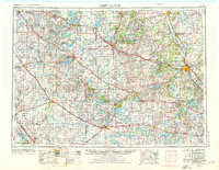
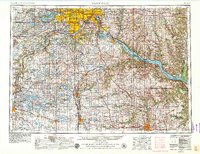
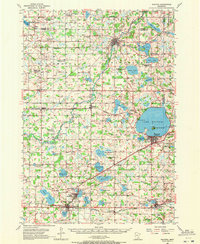
(100)- 1909 Map of Rockford
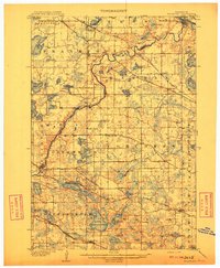 1909 Rockford1909 Print · USGSCovers Wright County, including Plymouth, Maple Grove, and other nearby areas
 - 1909 Map of Rockford
 1909 Rockford1909 Print · USGSCovers Wright County, including Plymouth, Maple Grove, and other nearby areas
 - 1909 Map of Rockford, 1932 Print
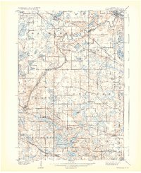 1909 Rockford1932 Print · USGSCovers Wright County, including Plymouth, Maple Grove, and other nearby areas
 - 1909 Map of Rockford, 1932 Print
 1909 Rockford1932 Print · USGSCovers Wright County, including Plymouth, Maple Grove, and other nearby areas
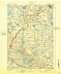
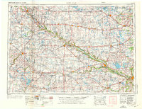
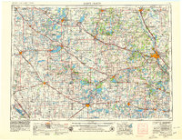
 - 1951 Map of Annandale, 1953 Print
 1951 Annandale1953 Print · USGSCovers Wright County, including St. Cloud, Saint Augusta, and other nearby areas
 - 1951 Map of Annandale, 1970 Print
 1951 Annandale1970 Print · USGSCovers Wright County, including St. Cloud, Saint Augusta, and other nearby areas
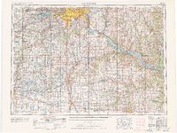
 - 1953 Map of Saint Paul, 1964 Print
 1953 Saint Paul1964 Print · USGSCovers Wright County, including Minneapolis, Saint Paul, and other nearby areas
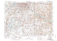
 - 1953 Map of New Ulm, 1968 Print
 1953 New Ulm1968 Print · USGSCovers Wright County, including Mankato, North Mankato, and other nearby areas
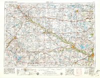
 - 1953 Map of Saint Cloud, 1968 Print
 1953 Saint Cloud1968 Print · USGSCovers Wright County, including St. Cloud, Saint Cloud, and other nearby areas
 - 1953 Map of Saint Cloud, 1976 Print
 1953 Saint Cloud1976 Print · USGSCovers Wright County, including St. Cloud, Saint Cloud, and other nearby areas
 - 1953 Map of New Ulm, 1976 Print
 1953 New Ulm1976 Print · USGSCovers Wright County, including Mankato, North Mankato, and other nearby areas
 - 1953 Map of St. Paul, 1978 Print
 1953 St. Paul1978 Print · USGSCovers Wright County, including Minneapolis, Saint Paul, and other nearby areas
 - 1953 Map of Saint Paul, 1979 Print
 1953 Saint Paul1979 Print · USGSCovers Wright County, including Minneapolis, Saint Paul, and other nearby areas
 - 1953 Map of Saint Paul, 1979 Print
 1953 Saint Paul1979 Print · USGSCovers Wright County, including Minneapolis, Saint Paul, and other nearby areas
 - 1953 Map of Saint Cloud, 1979 Print
 1953 Saint Cloud1979 Print · USGSCovers Wright County, including St. Cloud, Saint Cloud, and other nearby areas
 - 1953 Map of New Ulm, 1979 Print
 1953 New Ulm1979 Print · USGSCovers Wright County, including Mankato, North Mankato, and other nearby areas
 - 1953 Map of Stillwater, 1980 Print
 1953 Stillwater1980 Print · USGSCovers Wright County, including Minneapolis, Brooklyn Park, and other nearby areas
 - 1955 Map of Stillwater, 1965 Print
 1955 Stillwater1965 Print · USGSCovers Wright County, including Minneapolis, Brooklyn Park, and other nearby areas
 - 1957 Map of Saint Cloud
 1957 Saint Cloud1957 Print · USGSCovers Wright County, including St. Cloud, Saint Cloud, and other nearby areas
 - 1957 Map of New Ulm
 1957 New Ulm1957 Print · USGSCovers Wright County, including Mankato, North Mankato, and other nearby areas
 - 1957 Map of Waconia, 1959 Print
 1957 Waconia1959 Print · USGSCovers Wright County, including Waconia, Minnetrista, and other nearby areas
 - 1957 Map of Waconia, 1972 Print
 1957 Waconia1972 Print · USGSCovers Wright County, including Waconia, Minnetrista, and other nearby areas
 - 1958 Map of New Ulm
 1958 New Ulm1958 Print · USGSCovers Wright County, including Mankato, North Mankato, and other nearby areas
 - 1958 Map of Stillwater
 1958 Stillwater1958 Print · USGSCovers Wright County, including Minneapolis, Brooklyn Park, and other nearby areas
 - 1958 Map of Saint Cloud
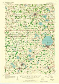
 1958 Saint Cloud1958 Print · USGSCovers Wright County, including St. Cloud, Saint Cloud, and other nearby areas
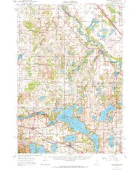
Showing maps 1-25 of 100
Top cities in Wright County
- St. Michael historical maps
- Buffalo historical maps
- Otsego historical maps
- Monticello historical maps
- Delano historical maps
- Rockford historical maps
See more
Frequently asked questions
- What are the different types of historical maps available for Wright County?
- What is the oldest map of Wright County?
- Where can I purchase historical maps of Wright County for my home or office?
- Where can I download high-res historical maps of Wright County?
- Are there historical topographic maps available for Wright County?
- Is there historical aerial imagery available for Wright County?
- Where are historical maps of Wright County sourced from?