2020s Maps of Fort Kipp District, Montana
Explore 40 historic maps of Fort Kipp District from the 2020s. These maps offer a rare glimpse into what life looked like during the 2020s — showing old roads, neighborhoods, homes, and landmarks that have changed or disappeared over time.
Whether you're researching your family's past, planning a metal detecting trip, or studying how Fort Kipp District's landscape evolved across the 2020s, these high-resolution maps are a powerful tool for exploring the history of this region.
- Focus on a specific era: All maps on this page are from the 2020s, giving you a focused view of this time period.
- See what’s changed: Compare century-old streets, trails, and buildings to today's modern landscape using overlays and satellite layers.
- Research with precision: Use these maps for genealogy, historical research, land use analysis, or educational projects.
- View, download, or print: Maps are fully viewable online in high resolution, and can be downloaded or printed for your own records.
Start exploring Fort Kipp District's history through authentic maps from the 2020s. This is your window into the past.
Fort Kipp District, MT maps
(40)- 2020 Map of Antelope, 2020 Print
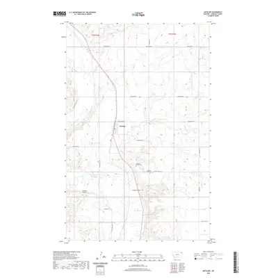 2020 Antelope2020 Print · USGSSheridan County's high plains near the Canadian border are shown here in the 2020s, centered on the community of Antelope. Genealogists and local historians can locate the Antelope Catholic Cem and trace the drainage of Big Muddy Creek and Folsom Coulee.
 - 2020 Map of Reserve, 2020 Print
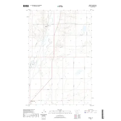 2020 Reserve2020 Print · USGSSheridan County's high plains come into focus in 2020, showing the rural landscape around the settlements of Reserve and Medicine Lake. Local history enthusiasts can trace the paths of Big Muddy Creek and find family-named routes like Whittish Hill Rd and Whiskey Rd.
 - 2020 Map of Twomile Creek, 2020 Print
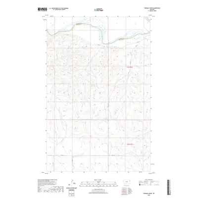 2020 Twomile Creek2020 Print · USGSNortheastern Montana's river breaks are captured here in the early twenty-first century as the Missouri River winds along the county line. Researchers can trace the path of remote drainages and rural routes like Cedar Cr, Twomile Cr, and CO RD 152.
 - 2020 Map of Rocky Point, 2020 Print
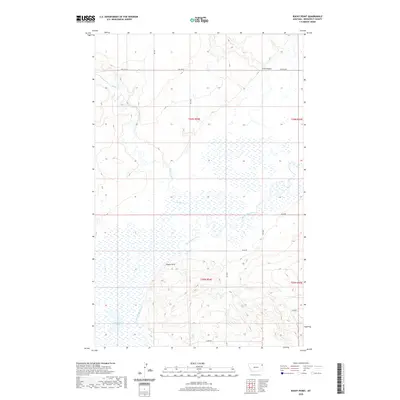 2020 Rocky Point2020 Print · USGSNortheastern Montana’s river bottomlands and wetlands are documented here in the early twenty-first century. Genealogists and researchers can trace the winding paths of Big Muddy Creek and Smoke Creek as they converge near Rocky Point.
 - 2020 Map of Kisler Butte, 2020 Print
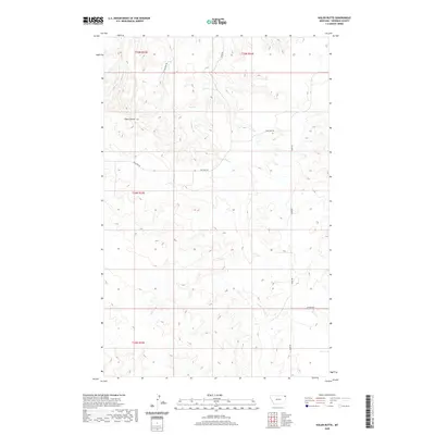 2020 Kisler Butte2020 Print · USGSSheridan County's high plains are documented here in the early twenty-first century, showing a landscape defined by prairie buttes and drainages. You can trace local road networks like Sitting Bull Rd and Welliver Rd as they navigate around Kisler Butte and Ford Cr.
 - 2020 Map of Johnson Lake, 2020 Print
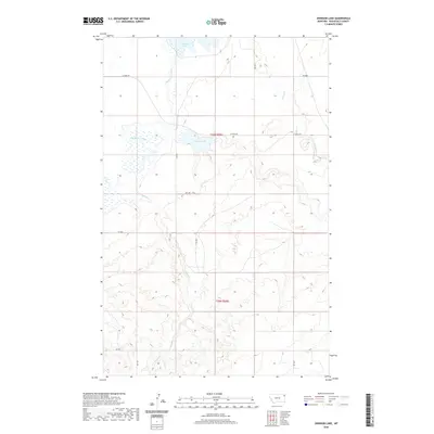 2020 Johnson Lake2020 Print · USGSNortheastern Montana ranchland and coulee country are mapped here in the early twenty-first century. Researchers can trace the drainage patterns of Big Muddy Creek and locate remote landmarks like Johnson Lake and Stab Rd.
 - 2020 Map of Frog Coulee, 2020 Print
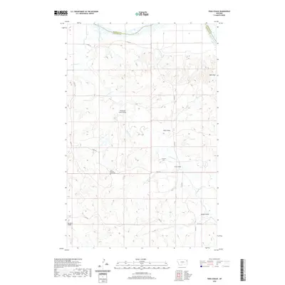 2020 Frog Coulee2020 Print · USGSEastern Montana's high plains meet the winding Missouri River in this detailed look at Roosevelt and Richland counties. Genealogists can locate Saint Bernards Church Cem and Lynd Cem among landmarks like Balls Bluff and Promised Land Coulee.
 - 2020 Map of Coyote Coulee, 2020 Print
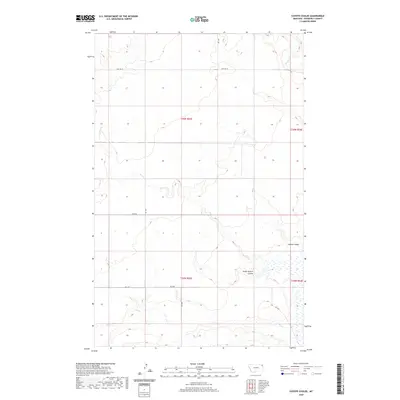 2020 Coyote Coulee2020 Print · USGSRoosevelt County's high plains are documented here in the early twenty-first century, showing the drainage of the Missouri River watershed. Researchers can trace the path of Coyote Coulee and locate early access routes such as Hwy 344 W and Rd 2048.
 - 2020 Map of Fort Kipp, 2020 Print
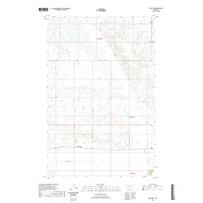 2020 Fort Kipp2020 Print · USGSThe Missouri River lowlands and the Big Muddy Creek valley are captured here in the early twenty-first century. Researchers can locate the settlements of Fort Kipp and Blair, along with the Freidens Cem and several BIA road networks.
 - 2020 Map of Flagstaff Hill, 2020 Print
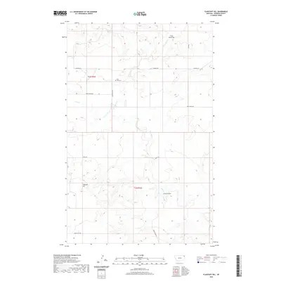 2020 Flagstaff Hill2020 Print · USGSSheridan County's high plains are documented here in the early twenty-first century, showing a landscape shaped by drainage and ranching. Genealogists and researchers can locate Rock Spring Cem and trace the paths of Burma Trl and Crazy Horse Cr.
 - 2020 Map of Dugout Creek, 2020 Print
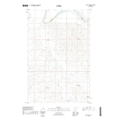 2020 Dugout Creek2020 Print · USGSNortheastern Montana's riverfront and breaks are captured here during a time of modern land management. Researchers can trace the winding course of the Missouri River and follow the intricate drainage patterns of Hardscrabble Cr and Dugout Cr.
 - 2020 Map of Smoke Creek NE, 2020 Print
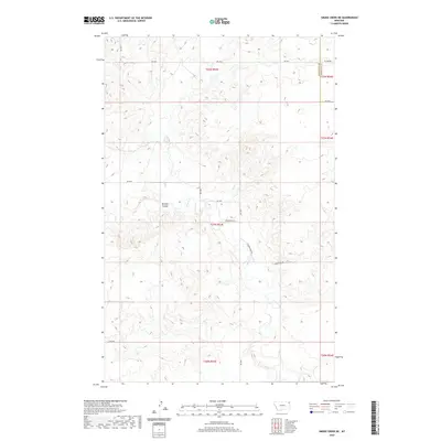 2020 Smoke Creek NE2020 Print · USGSNortheastern Montana ranchland and coulee country are mapped here in the early twenty-first century. Researchers can trace the rural road network and township boundaries near Smoke Cr, Burshia Coulee, and the historic path of Homestead Rd.
 - 2020 Map of Calais, 2020 Print
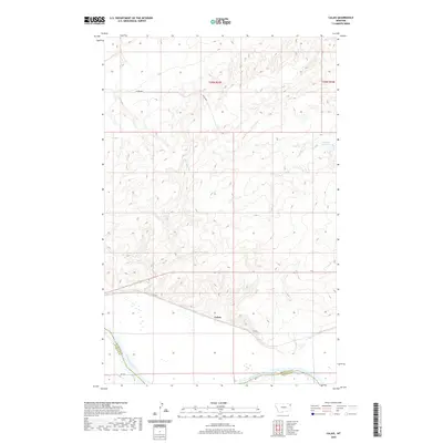 2020 Calais2020 Print · USGSNortheastern Montana near the Missouri River is captured here in the modern era. Genealogists and researchers can trace the rural settlement at Calais or locate landmarks like the Bertino Reservoir and Box Elder Cr as they appeared in Roosevelt County.
 - 2020 Map of Alkali Coulee, 2020 Print
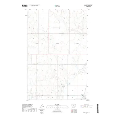 2020 Alkali Coulee2020 Print · USGSThe Sheridan County prairie comes into focus in this recent survey, centered on the settlement of Medicine Lake and its surrounding watercourses. Local historians can trace the meandering Big Muddy Creek and explore ranch-land routes like Burma Trl and Whiskey Rd.
 - 2020 Map of Homestead NW, 2020 Print
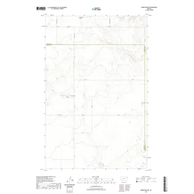 2020 Homestead NW2020 Print · USGSThe high plains of the Montana borderlands are captured here in the early twenty-first century, showing the intersection of Roosevelt and Sheridan counties. Researchers can locate family landmarks such as Eng Cem and Jacobson Cem along the grid of Homestead Rd.
 - 2020 Map of Culbertson, 2020 Print
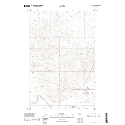 2020 Culbertson2020 Print · USGSCulbertson sits at the intersection of prairie life and the Missouri River during the early twenty-first century. Genealogists and researchers can map the town's growth and find local landmarks like Hillside Cem, Big Sky Field, and the nearby settlement of Blair.
 - 2020 Map of Soo NE, 2020 Print
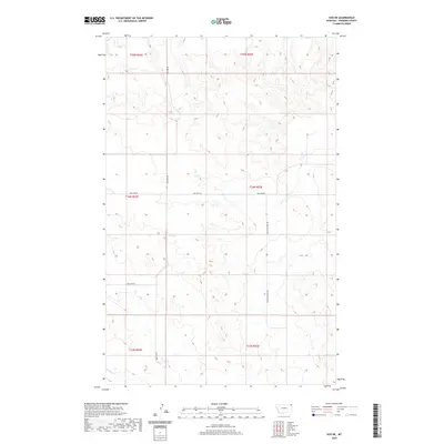 2020 Soo NE2020 Print · USGSSheridan County ranching country is documented here in the early twenty-first century, showing the remote high plains landscape and its section-line roads. Researchers can locate Thornwood Ranch or trace the riparian valley of Wolf Cr near Two Tree Rd.
 - 2020 Map of Shippe Canyon, 2020 Print
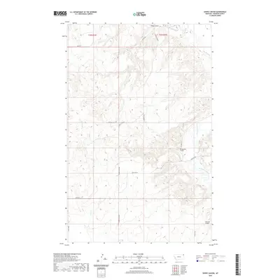 2020 Shippe Canyon2020 Print · USGSSheridan County's high plains are revealed in this modern survey of the Fort Kipp District. Genealogists and researchers can trace local routes like Shippe Canyon Rd and Tower Hill Rd as they navigate around Richardson Coulee and Otter Cr.
 - 2020 Map of Thornwood Ranch, 2020 Print
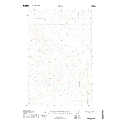 2020 Thornwood Ranch2020 Print · USGSThe high plains of the Montana borderlands are captured here in the contemporary era, showcasing a landscape of remote ranches and coulees. Genealogists and local historians can trace property boundaries and rural routes like Thornwood Rd, Burshia Coulee, and the namesake Thornwood Ranch.
 - 2020 Map of Homestead, 2020 Print
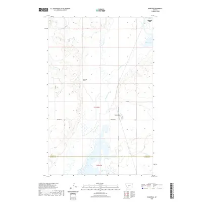 2020 Homestead2020 Print · USGSThe settlement of Homestead and the surrounding plains are captured here in the early twenty-first century as the local creek systems drain toward the Missouri River basin. Researchers can trace the layout of the townsite and the wetlands of Homestead Lake and Medicine Lake.
 - 2024 Map of Rocky Point, 2024 Print
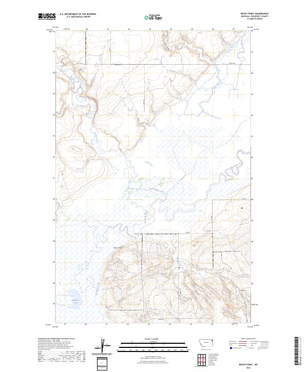 2024 Rocky Point2024 Print · USGSThe Montana plains in the early twenty-first century are defined here by the confluence of Big Muddy Creek and Smoke Creek. Researchers can trace rural road networks like Hwy 344 N and locate landmarks such as Manning Lake and Rocky Point.
 - 2024 Map of Calais, 2024 Print
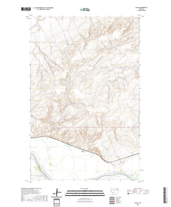 2024 Calais2024 Print · USGSThe Missouri River breaks of northeastern Montana are captured here during the 2020s, showing the intersection of river, rail, and road. Local historians can trace the topography around Calais and identify drainage patterns through Box Elder Creek and Bertino Reservoir.
 - 2024 Map of Thornwood Ranch, 2024 Print
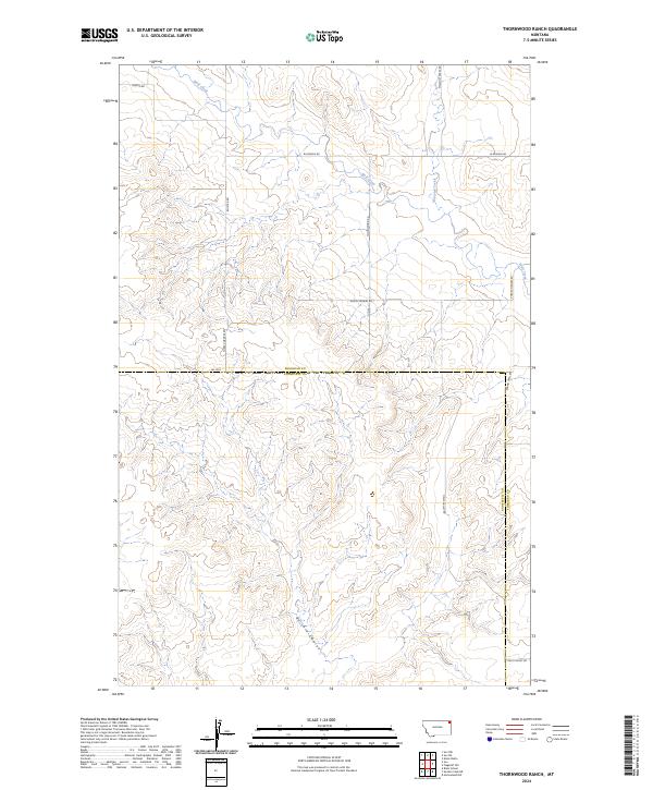 2024 Thornwood Ranch2024 Print · USGSThe ranchlands of Sheridan and Roosevelt counties are captured here in the early twenty-first century. Genealogists and local historians can trace the property boundaries and rural routes like Thornwood Rd or the path of Wolf Creek across the high plains.
 - 2024 Map of Shippe Canyon, 2024 Print
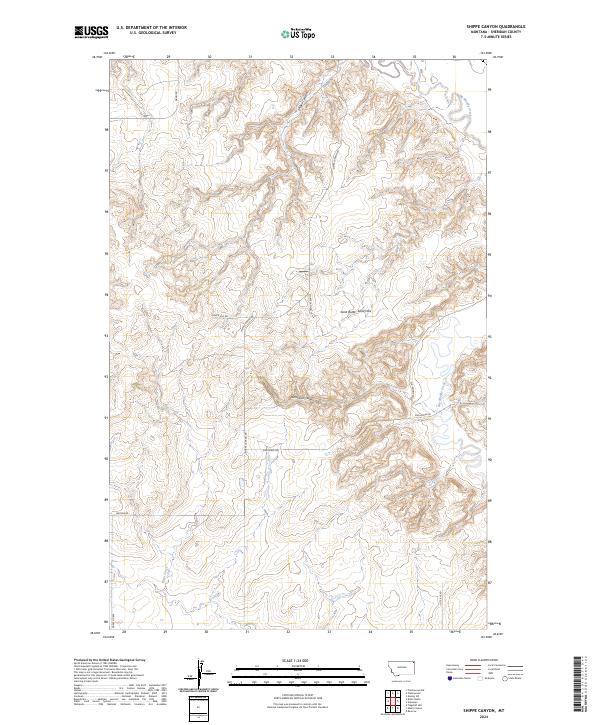 2024 Shippe Canyon2024 Print · USGSSheridan County's high plains are documented here in the early twenty-first century, showing a landscape defined by deep coulees and winding creeks. Local historians can trace the paths of Shippe Canyon Rd and Old Muddy Rd as they navigate the Sand Butte Sand Hills.
 - 2024 Map of Twomile Creek, 2024 Print
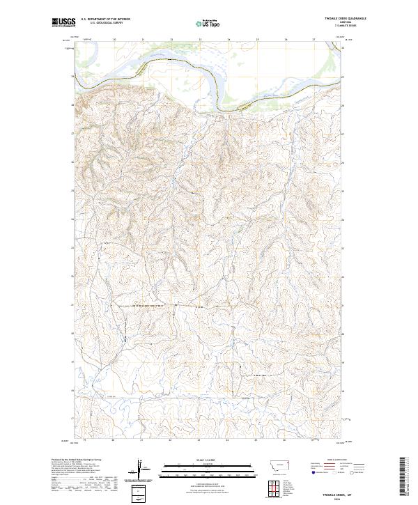 2024 Twomile Creek2024 Print · USGSRichland County, Montana, is depicted in this 2024 survey at the northern reach where it meets the Missouri River. Historians and researchers can trace the modern rural road network, including Co Rd 152, as it winds through the breaks of Twomile Creek and Cedar Creek.
Showing maps 1-25 of 40
Top cities near Fort Kipp District
- Culbertson historical maps
- Brockton District historical maps
- Medicine Lake historical maps
- Froid historical maps
Top neighborhoods of Fort Kipp District
Frequently asked questions
- What are the different types of historical maps available for Fort Kipp District?
- What is the oldest map of Fort Kipp District?
- Where can I purchase historical maps of Fort Kipp District for my home or office?
- Where can I download high-res historical maps of Fort Kipp District?
- Are there historical topographic maps available for Fort Kipp District?
- Is there historical aerial imagery available for Fort Kipp District?
- Where are historical maps of Fort Kipp District sourced from?