2000s (21st Century) Maps of Fort Kipp District, Montana
Explore 100 historic maps of Fort Kipp District from the 2000s (21st Century). These maps offer a rare glimpse into what life looked like during the 2000s — showing old roads, neighborhoods, homes, and landmarks that have changed or disappeared over time.
Whether you're researching your family's past, planning a metal detecting trip, or studying how Fort Kipp District's landscape evolved across the 2000s, these high-resolution maps are a powerful tool for exploring the history of this region.
- Focus on a specific era: All maps on this page are from the 2000s, giving you a focused view of this time period.
- See what’s changed: Compare century-old streets, trails, and buildings to today's modern landscape using overlays and satellite layers.
- Research with precision: Use these maps for genealogy, historical research, land use analysis, or educational projects.
- View, download, or print: Maps are fully viewable online in high resolution, and can be downloaded or printed for your own records.
Start exploring Fort Kipp District's history through authentic maps from the 2000s. This is your window into the past.
Fort Kipp District, MT maps
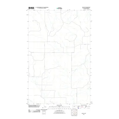
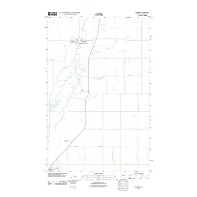
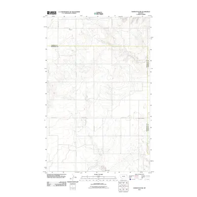
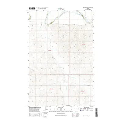
(100)- 2011 Map of Kisler Butte, 2011 Print
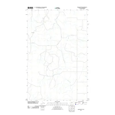 2011 Kisler Butte2011 Print · USGSCovers Fort Kipp District, including Sheridan County, United States, and other nearby areas
 - 2011 Map of Johnson Lake, 2011 Print
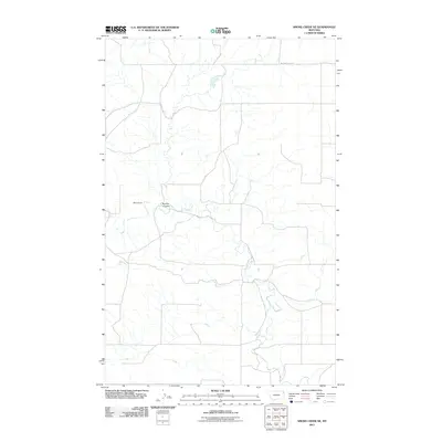
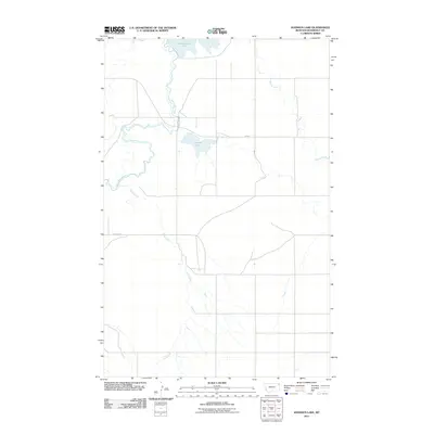 2011 Johnson Lake2011 Print · USGSCovers Fort Kipp District, including Roosevelt County, United States, and other nearby areas
 - 2011 Map of Alkali Coulee, 2011 Print
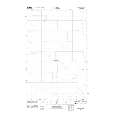
 2011 Alkali Coulee2011 Print · USGSCovers Fort Kipp District, including Medicine Lake, Sheridan County, and other nearby areas
 - 2011 Map of Twomile Creek, 2011 Print
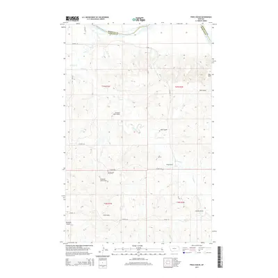
 2011 Twomile Creek2011 Print · USGSCovers Fort Kipp District, including Roosevelt County, Richland County, and other nearby areas
 - 2011 Map of Soo NE, 2011 Print
 2011 Soo NE2011 Print · USGSCovers Fort Kipp District, including Brockton District, Sheridan County, and other nearby areas
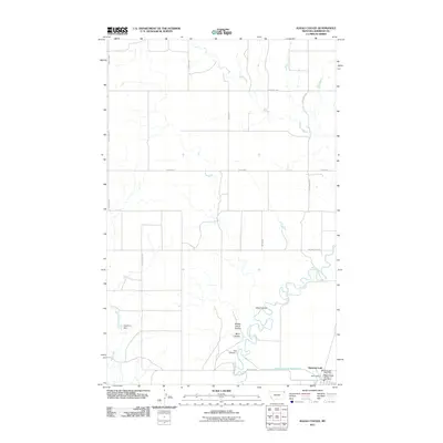
 - 2011 Map of Rocky Point, 2011 Print
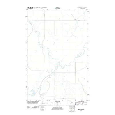 2011 Rocky Point2011 Print · USGSCovers Fort Kipp District, including Slab Crossing, Roosevelt County, and other nearby areas
 - 2011 Map of Antelope, 2011 Print
 2011 Antelope2011 Print · USGSCovers Fort Kipp District, including Antelope, Sheridan County, and other nearby areas
 - 2011 Map of Coyote Coulee, 2011 Print
 2011 Coyote Coulee2011 Print · USGSCovers Fort Kipp District, including Brockton District, Roosevelt County, and other nearby areas
 - 2011 Map of Reserve, 2011 Print
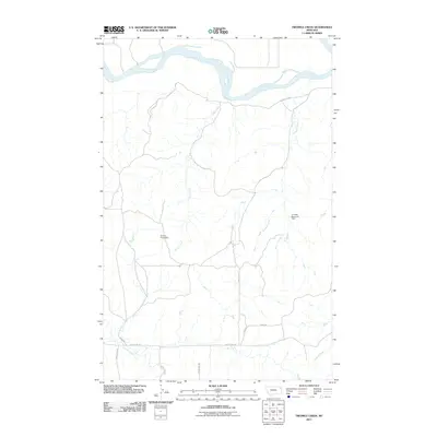
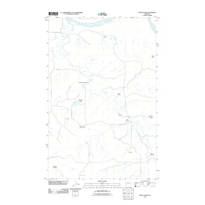
 2011 Reserve2011 Print · USGSCovers Fort Kipp District, including Medicine Lake, Reserve, and other nearby areas
 - 2011 Map of Flagstaff Hill, 2011 Print
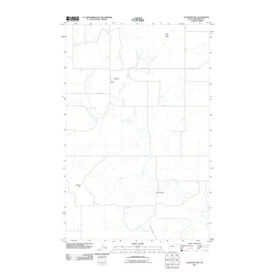 2011 Flagstaff Hill2011 Print · USGSCovers Fort Kipp District, including Sheridan County, United States, and other nearby areas
 - 2011 Map of Shippe Canyon, 2011 Print
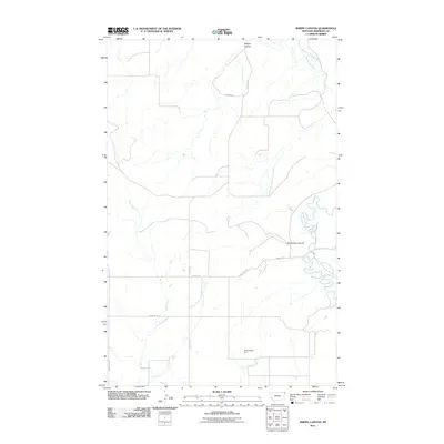 2011 Shippe Canyon2011 Print · USGSCovers Fort Kipp District, including Sheridan County, United States, and other nearby areas
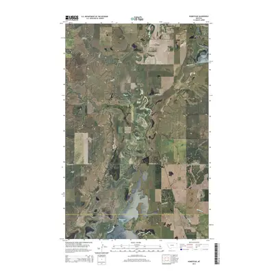
 - 2011 Map of Homestead, 2011 Print
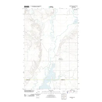 2011 Homestead2011 Print · USGSCovers Fort Kipp District, including Medicine Lake, Homestead, and other nearby areas
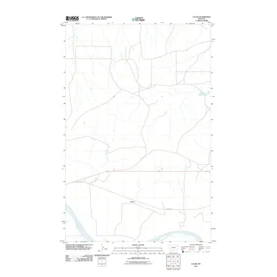
 - 2011 Map of Calais, 2011 Print
 2011 Calais2011 Print · USGSCovers Fort Kipp District, including Brockton District, Calais, and other nearby areas
 - 2011 Map of Thornwood Ranch, 2011 Print
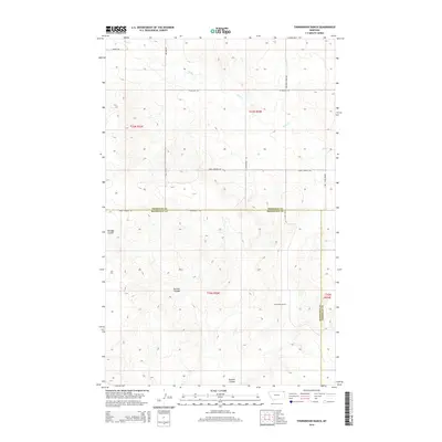
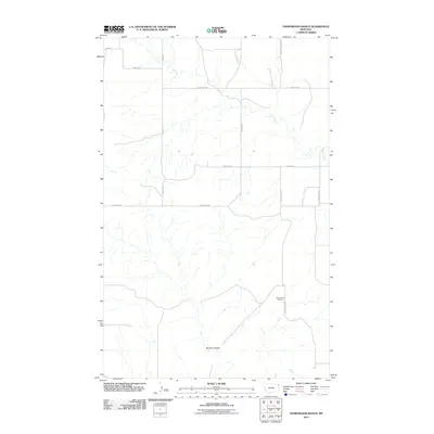 2011 Thornwood Ranch2011 Print · USGSCovers Fort Kipp District, including Brockton District, Roosevelt County, and other nearby areas
 - 2011 Map of Fort Kipp, 2011 Print
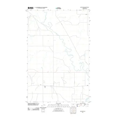 2011 Fort Kipp2011 Print · USGSCovers Fort Kipp District, including Fort Kipp, Roosevelt County, and other nearby areas
 - 2011 Map of Frog Coulee, 2011 Print
 2011 Frog Coulee2011 Print · USGSCovers Fort Kipp District, including Brockton District, Roosevelt County, and other nearby areas
 - 2011 Map of Homestead NW, 2011 Print
 2011 Homestead NW2011 Print · USGSCovers Fort Kipp District, including Roosevelt County, Sheridan County, and other nearby areas
 - 2011 Map of Smoke Creek NE, 2011 Print
 2011 Smoke Creek NE2011 Print · USGSCovers Fort Kipp District, including Brockton District, Roosevelt County, and other nearby areas
 - 2011 Map of Culbertson, 2011 Print
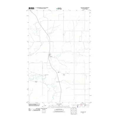
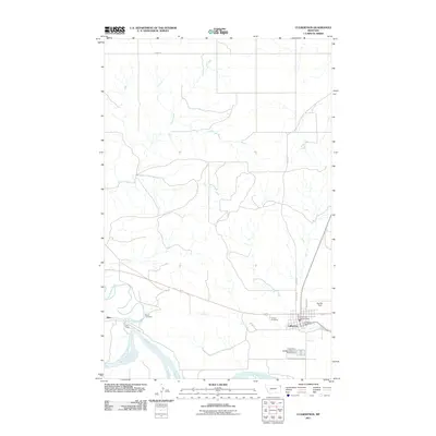 2011 Culbertson2011 Print · USGSCovers Fort Kipp District, including Culbertson, Averill, and other nearby areas
 - 2011 Map of Dugout Creek, 2011 Print
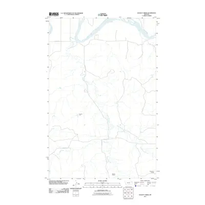 2011 Dugout Creek2011 Print · USGSCovers Fort Kipp District, including Roosevelt County, Richland County, and other nearby areas
 - 2014 Map of Dugout Creek, 2014 Print
 2014 Dugout Creek2014 Print · USGSCovers Fort Kipp District, including Roosevelt County, Richland County, and other nearby areas
 - 2014 Map of Thornwood Ranch, 2014 Print
 2014 Thornwood Ranch2014 Print · USGSCovers Fort Kipp District, including Brockton District, Roosevelt County, and other nearby areas
 - 2014 Map of Homestead, 2014 Print
 2014 Homestead2014 Print · USGSCovers Fort Kipp District, including Medicine Lake, Homestead, and other nearby areas
 - 2014 Map of Frog Coulee, 2014 Print
 2014 Frog Coulee2014 Print · USGSCovers Fort Kipp District, including Brockton District, Roosevelt County, and other nearby areas
 - 2014 Map of Soo NE, 2014 Print
 2014 Soo NE2014 Print · USGSCovers Fort Kipp District, including Brockton District, Sheridan County, and other nearby areas
Showing maps 1-25 of 100
Top cities near Fort Kipp District
- Culbertson historical maps
- Brockton District historical maps
- Medicine Lake historical maps
- Froid historical maps
Top neighborhoods of Fort Kipp District
Frequently asked questions
- What are the different types of historical maps available for Fort Kipp District?
- What is the oldest map of Fort Kipp District?
- Where can I purchase historical maps of Fort Kipp District for my home or office?
- Where can I download high-res historical maps of Fort Kipp District?
- Are there historical topographic maps available for Fort Kipp District?
- Is there historical aerial imagery available for Fort Kipp District?
- Where are historical maps of Fort Kipp District sourced from?