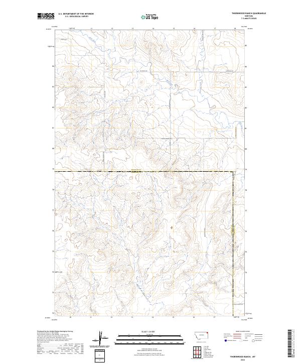
2024 Map of Thornwood Ranch
USGS Topo · Published 2024About this map
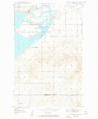
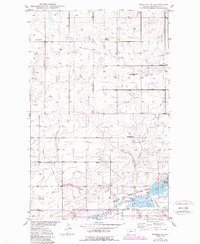
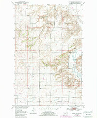
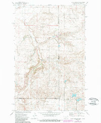
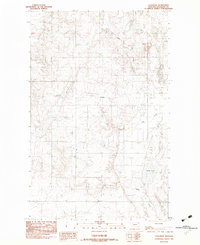
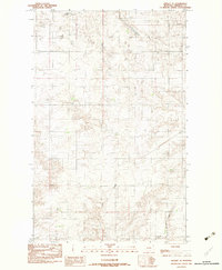
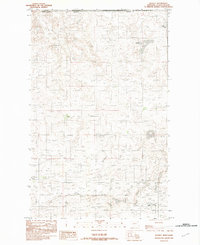
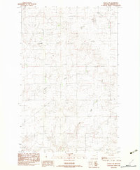
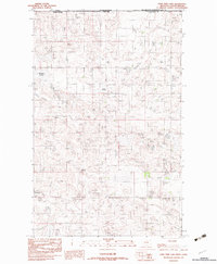
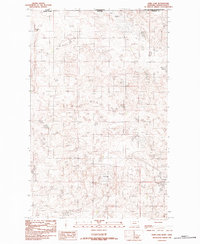
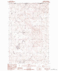
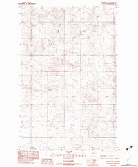
The rolling high plains of northeastern Montana are defined here by the crossing of the Sheridan Co Roosevelt Co line. This landscape, as it appeared in 2024, is etched by the drainage patterns of Wolf Creek and Malcolm Creek, which flow through the northern sections, while Burshia Coulee cuts through the south. The rural infrastructure follows a grid of section-line roads, such as W Reserve Rd and Thornwood Rd, which connect the remote ranchlands. The presence of the Burma Trail Rd in the southeastern corner highlights the historic routes that continue to serve this isolated region. The topography is dominated by subtle ridges and coulees, reflecting a traditional agricultural and ranching economy that has persisted across county boundaries for generations.
Find a feature on this map
18 named features on this map. Tap any name to fly to it.
Don’t see what you’re looking for? This feature index may not catch every label — zoom into the map to look around manually.
Map Details
Editions of this 2024 Thornwood Ranch Map
This is the sole edition of this map. No revisions or reprints were ever made.
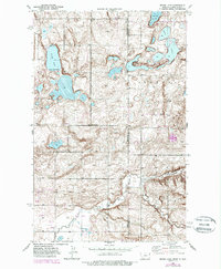
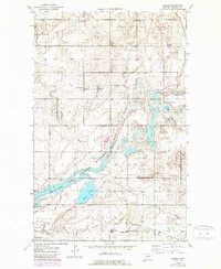
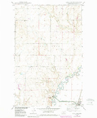
Historical Maps of Fort Kipp District Through Time
65 maps found
1946 Brush Lake
Sheridan County, MT
1946 Dagmar
Sheridan County, MT

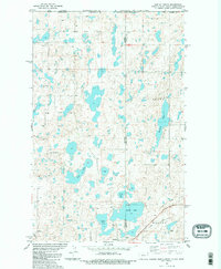
1947 Capeneys Lake
Sheridan County, MT
1948 Alkali Coulee
Sheridan County, MT

1948 Brush Lake
Sheridan County, MT
1948 Capeneys Lake
Sheridan County, MT

1948 Dagmar
Sheridan County, MT
1948 Reserve SE
Sheridan County, MT

1948 Sunnyhill School
Sheridan County, MT

1949 Alkali Coulee
Sheridan County, MT

1949 Reserve SE
Sheridan County, MT

1949 Sunnyhill School
Sheridan County, MT
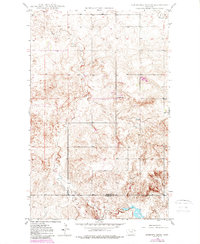
1950 Shippe Canyon
Sheridan County, MT
1974 Brush Mountain
Sheridan County, MT

1983 Archer
Sheridan County, MT
1983 Coalridge
Sheridan County, MT

1983 Daleview
Sheridan County, MT

1983 Dominek Lake
Sheridan County, MT
1983 Dooley SE
Sheridan County, MT
1983 Dooley
Sheridan County, MT
1983 Dooley SW
Sheridan County, MT

1983 Flagstaff Hill
Sheridan County, MT

1983 Kisler Butte
Sheridan County, MT
1983 Lone Tree Lake
Sheridan County, MT
1983 Park Lake
Sheridan County, MT

1983 Plentywood NW
Sheridan County, MT

1983 Plentywood SW
Sheridan County, MT
1983 Raymond
Sheridan County, MT
1983 Reserve NE
Sheridan County, MT

1983 Soo NE
Sheridan County, MT

1983 Soo NW
Sheridan County, MT
1983 Tadpole Lake
Sheridan County, MT

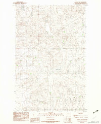
1983 Thornwood Ranch
Sheridan County, MT
1983 Westby North
Sheridan County, MT

1983 Westby South
Sheridan County, MT
1988 Sunnyhill School
Sheridan County, MT
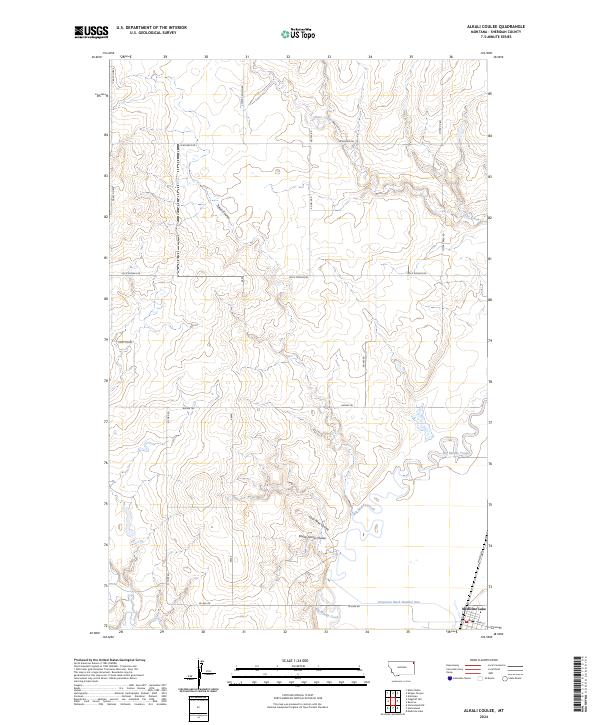
2024 Alkali Coulee
Sheridan County, MT
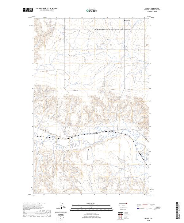
2024 Archer
Sheridan County, MT
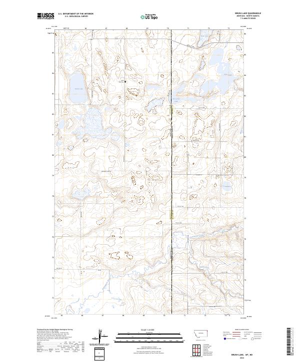
2024 Brush Lake
Sheridan County, MT
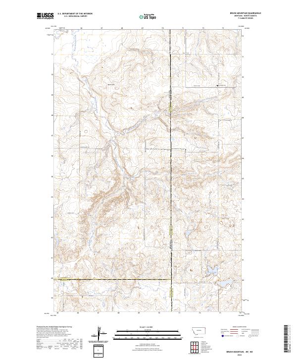
2024 Brush Mountain
Sheridan County, MT
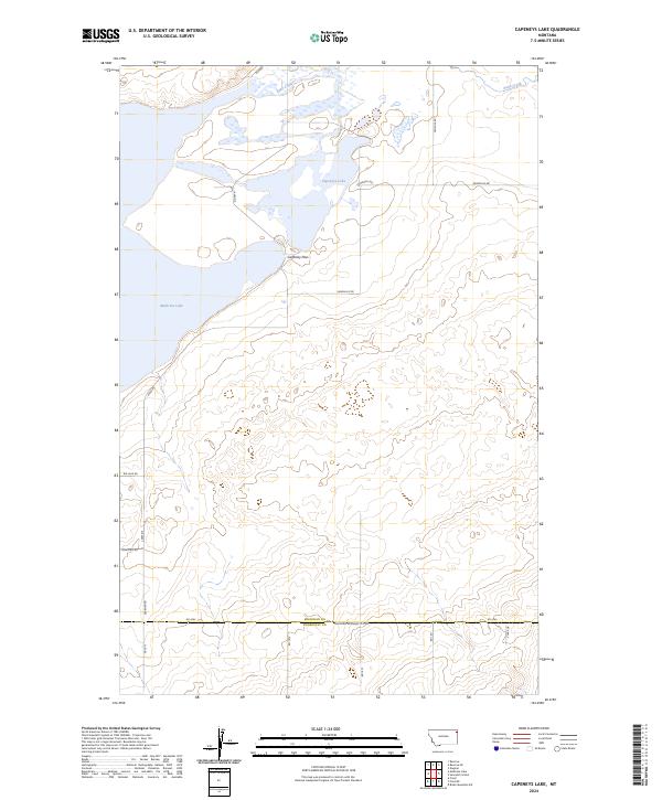
2024 Capeneys Lake
Sheridan County, MT
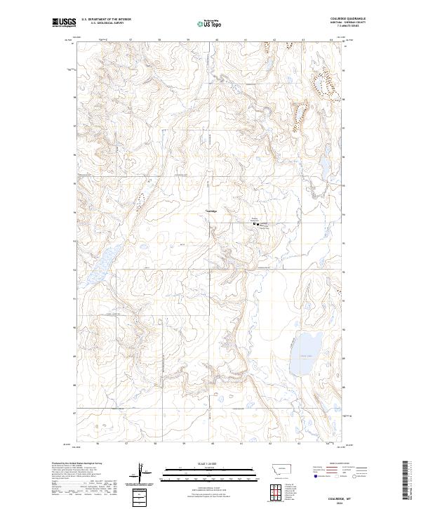
2024 Coalridge
Sheridan County, MT

2024 Dagmar
Sheridan County, MT
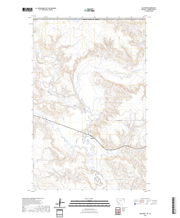
2024 Daleview
Sheridan County, MT
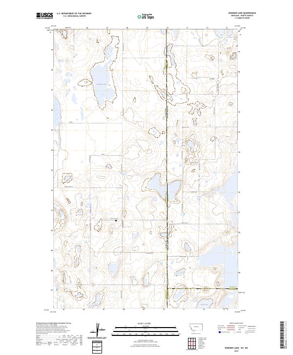
2024 Dominek Lake
Sheridan County, MT
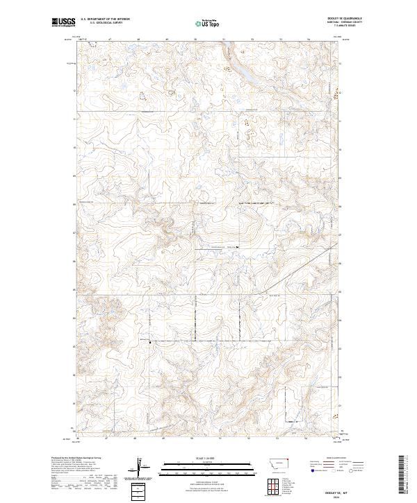
2024 Dooley SE
Sheridan County, MT
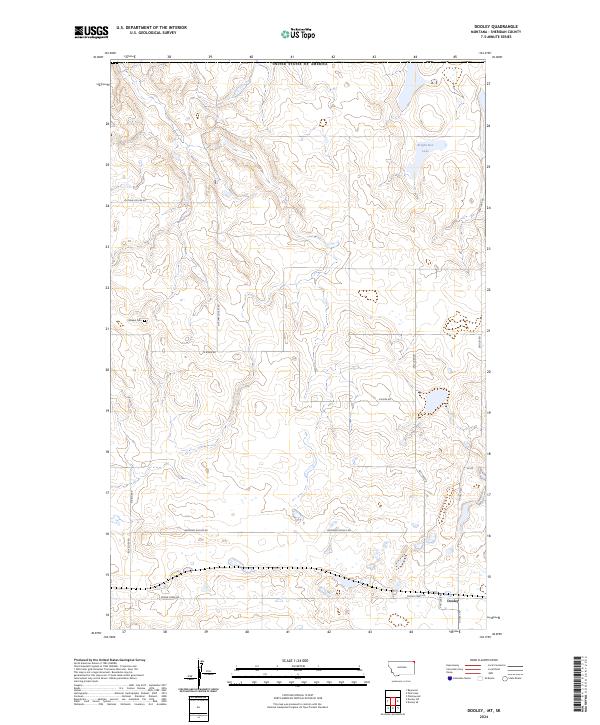
2024 Dooley
Sheridan County, MT
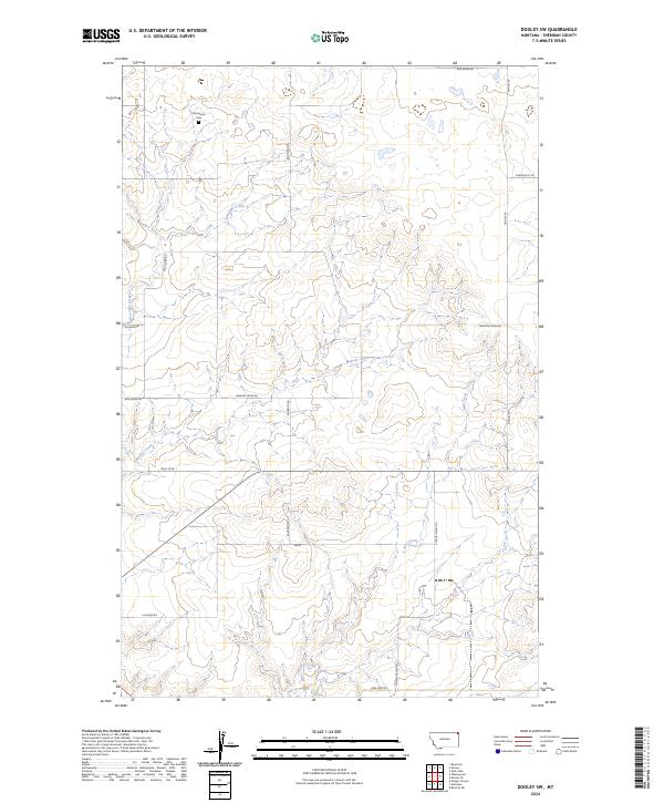
2024 Dooley SW
Sheridan County, MT
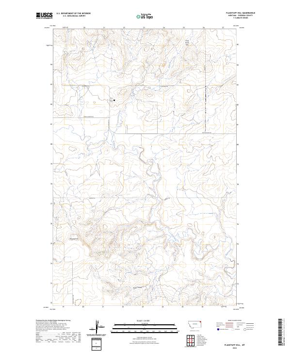
2024 Flagstaff Hill
Sheridan County, MT
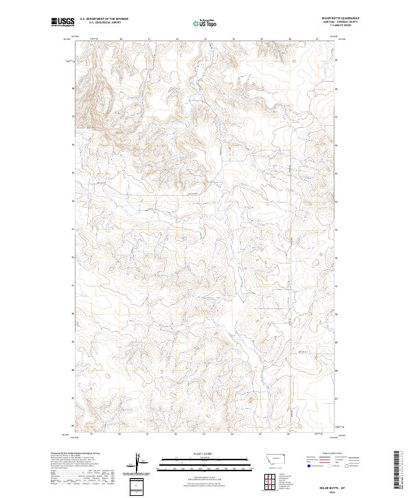
2024 Kisler Butte
Sheridan County, MT
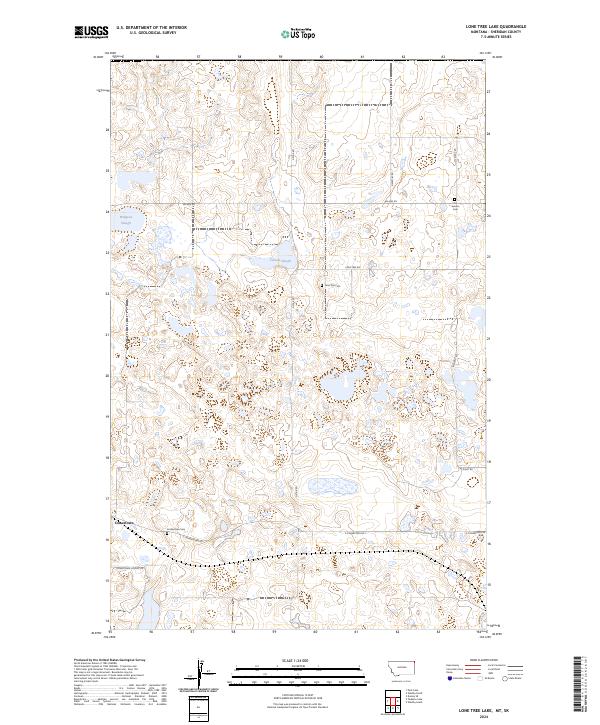
2024 Lone Tree Lake
Sheridan County, MT
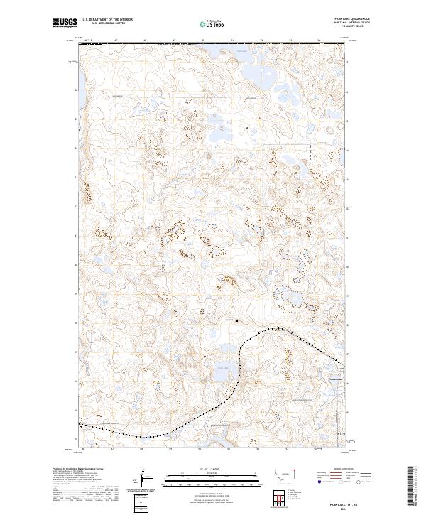
2024 Park Lake
Sheridan County, MT
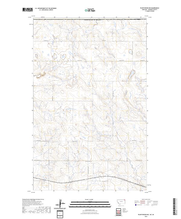
2024 Plentywood NW
Sheridan County, MT

2024 Plentywood SW
Sheridan County, MT
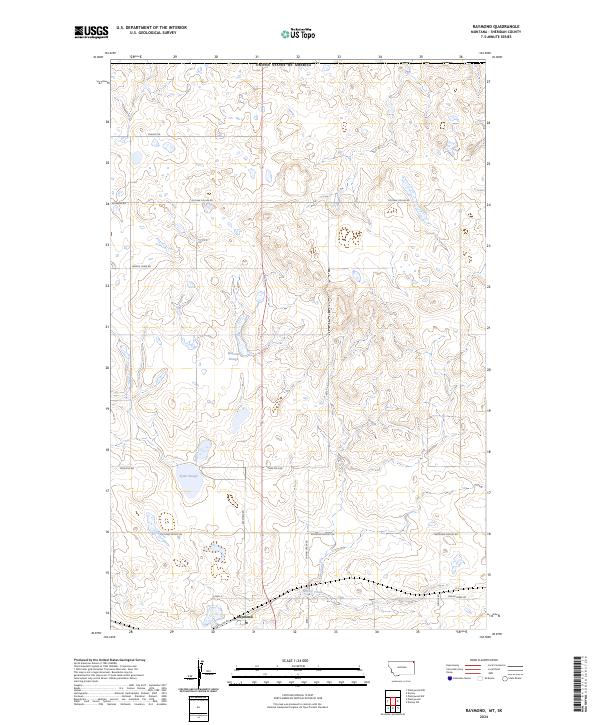
2024 Raymond
Sheridan County, MT
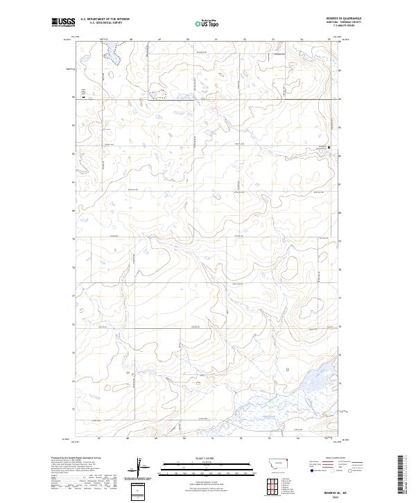
2024 Reserve NE
Sheridan County, MT
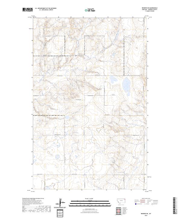
2024 Reserve SE
Sheridan County, MT
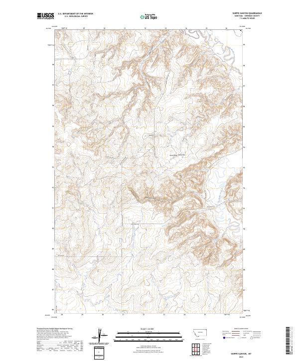
2024 Shippe Canyon
Sheridan County, MT
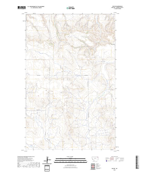
2024 Soo NE
Sheridan County, MT
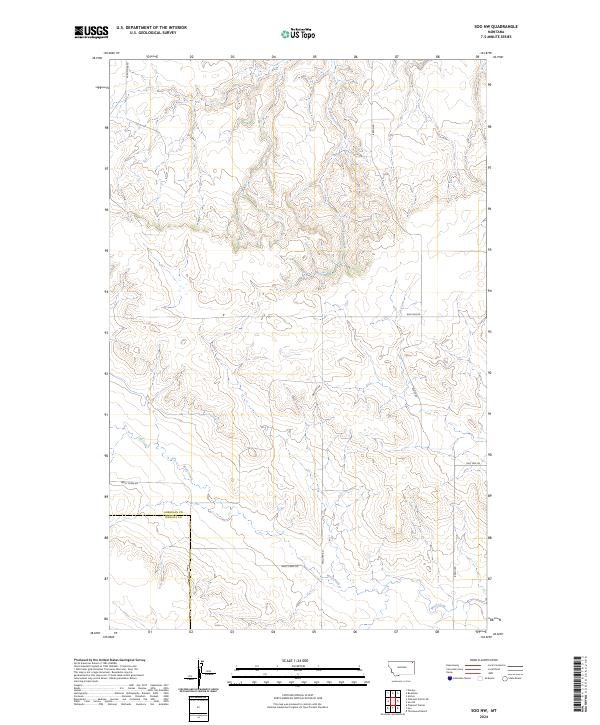
2024 Soo NW
Sheridan County, MT
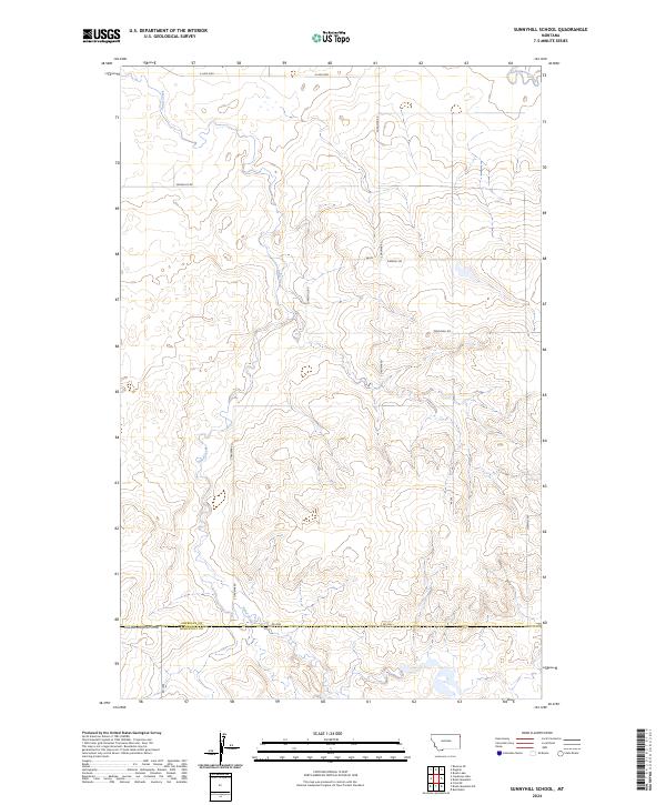
2024 Sunnyhill School
Sheridan County, MT
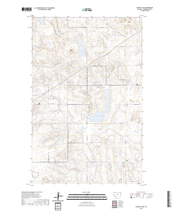
2024 Tadpole Lake
Sheridan County, MT
2024 Thornwood Ranch
Sheridan County, MT

2024 Westby North
Sheridan County, MT

2024 Westby South
Sheridan County, MT