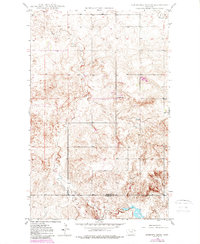
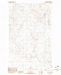
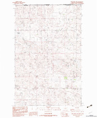
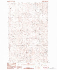
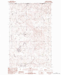
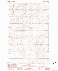
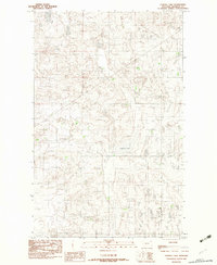
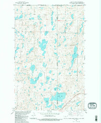
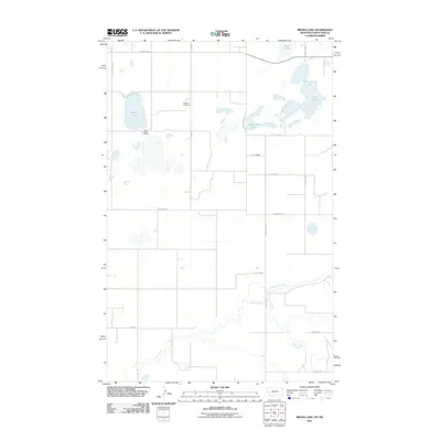
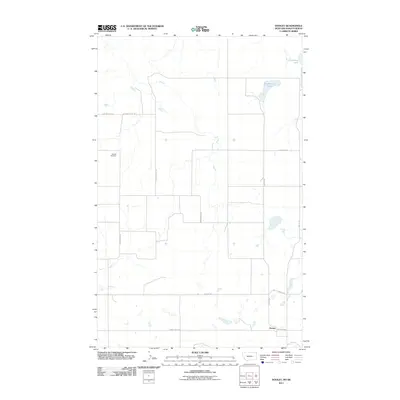
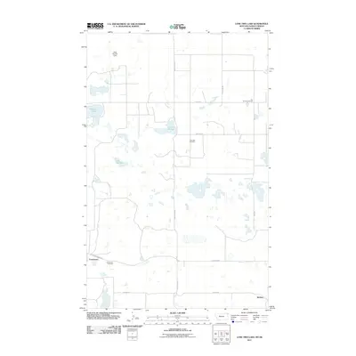
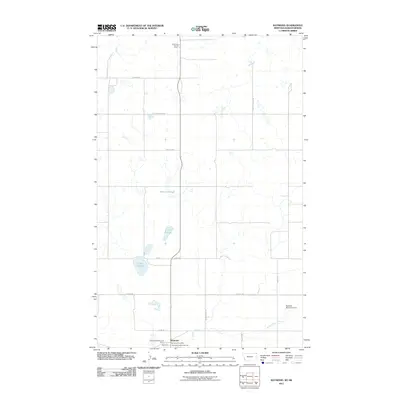
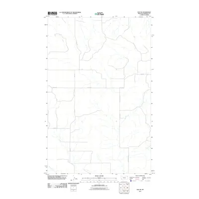
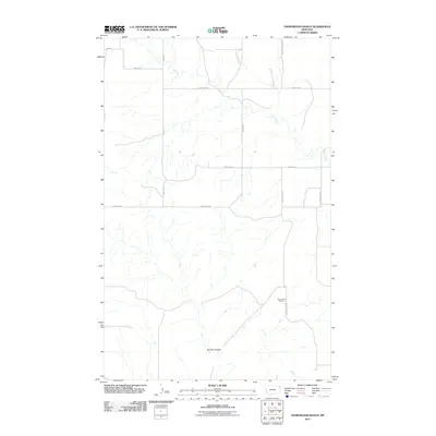
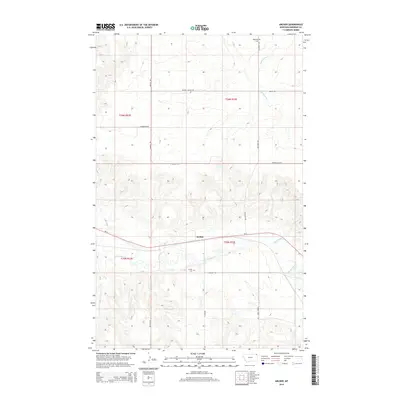
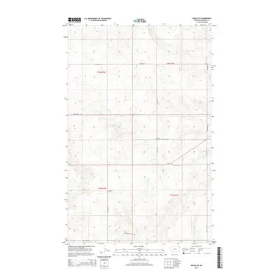
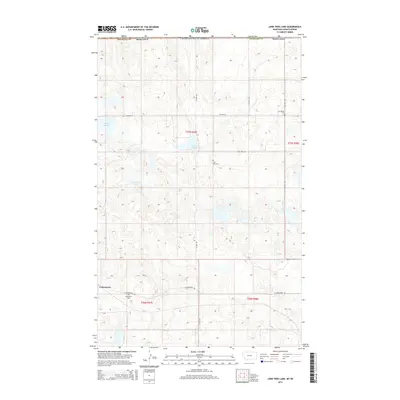
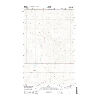
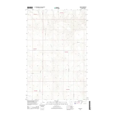
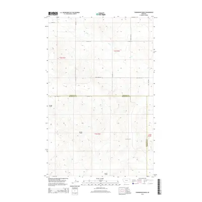
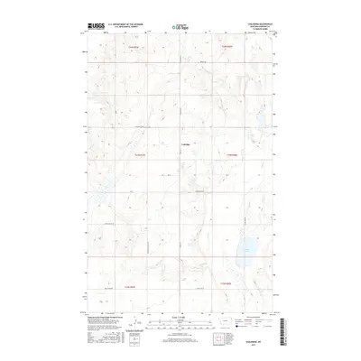
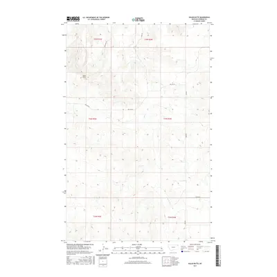
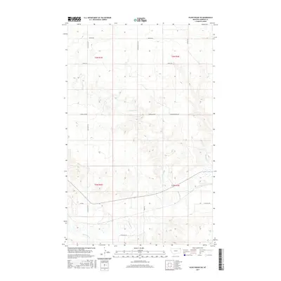
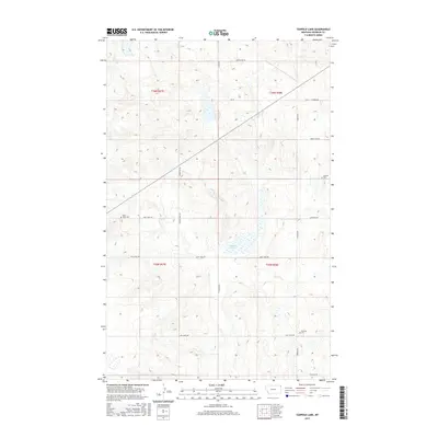
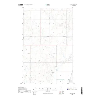
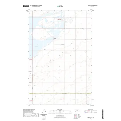
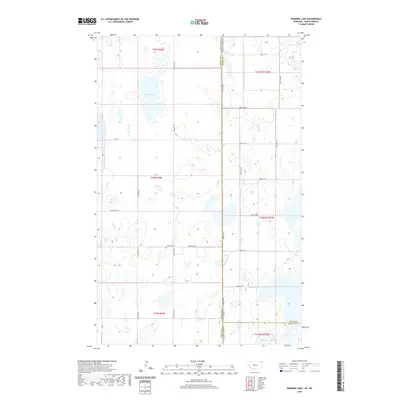
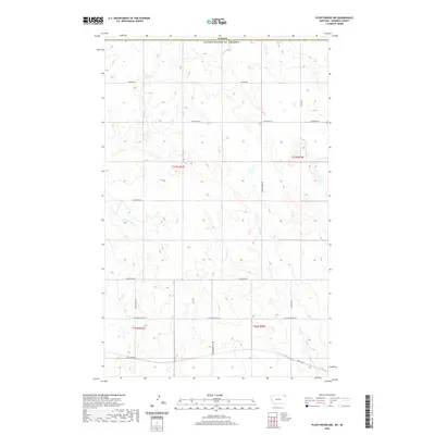
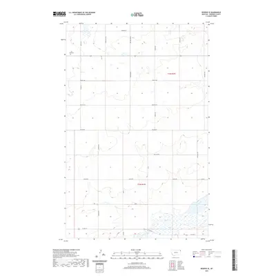
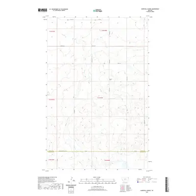
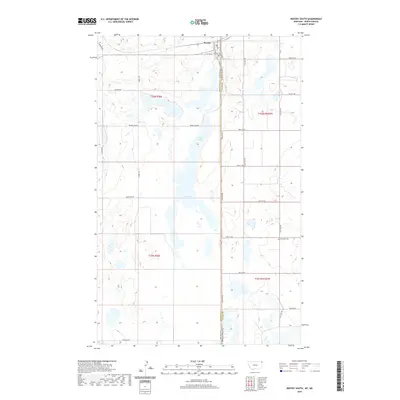
1988 Map of Sunnyhill School
USGS Topo · Published 1989About this map
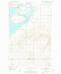
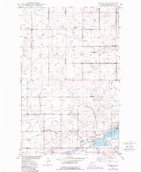
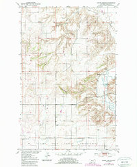
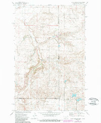
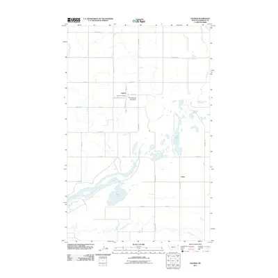
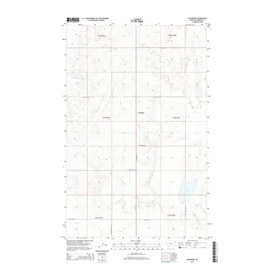
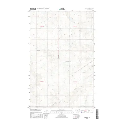
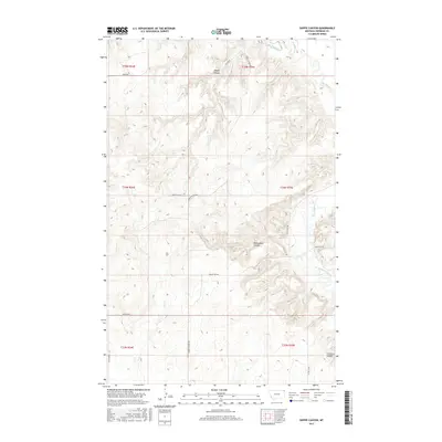
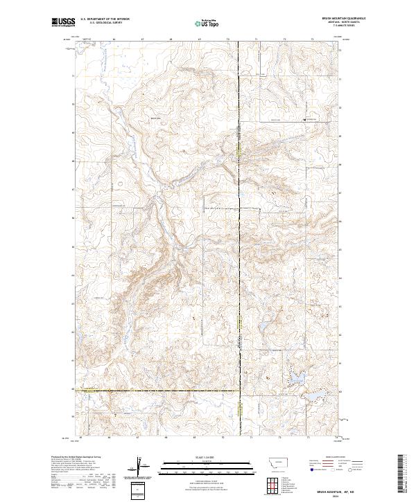
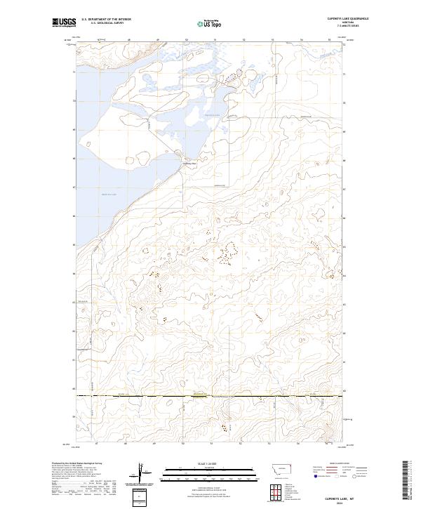
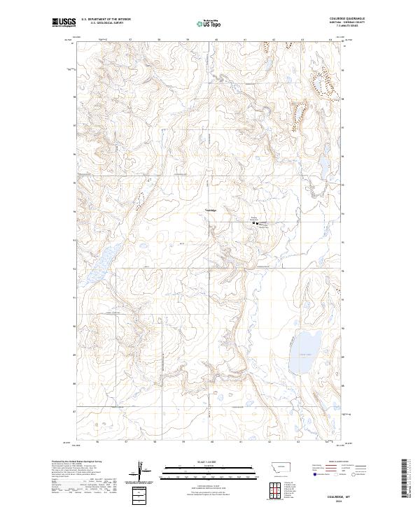
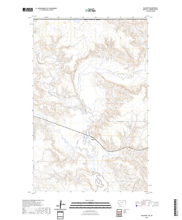
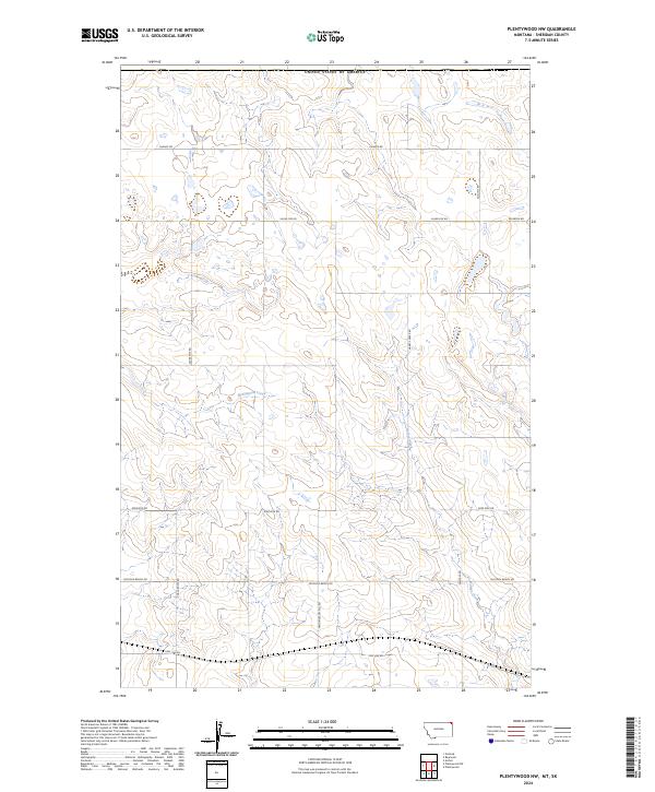
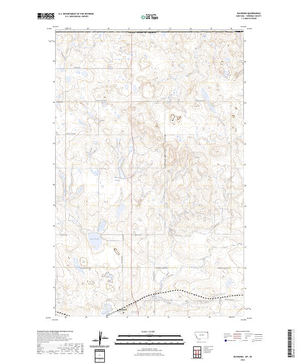
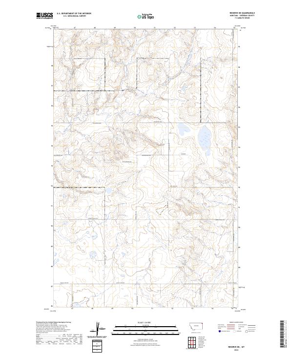
Sand Creek and Cottonwood Creek carve through the undulating terrain of this landscape along the boundary of Sheridan and Roosevelt Counties. The mapping, based on 1940s planetable methods and updated with 1980s aerial photography, reveals a sparsely populated region defined by agricultural and resource-extraction activity. Education and community life are anchored at the Sunnyhill Sch, a lonely landmark in the high plains north of the county line. Scattered evidence of industrial exploration appears in the form of several Drill Holes, while isolated Tanks suggest the infrastructure required for water management or livestock in this environment. The township and range grid lines provide a structured framework for genealogists tracing homestead boundaries or land patents within these Montana sections.
Find a feature on this map
6 named features on this map. Tap any name to fly to it.
Don’t see what you’re looking for? This feature index may not catch every label — zoom into the map to look around manually.
Map Details
Editions of this 1988 Sunnyhill School Map
This is the sole edition of this map. No revisions or reprints were ever made.
Historical Maps of Roosevelt County Through Time
181 maps found
1946 Brush Lake
Sheridan County, MT
1946 Dagmar
Sheridan County, MT

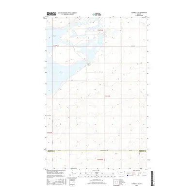
1947 Capeneys Lake
Sheridan County, MT
1948 Alkali Coulee
Sheridan County, MT

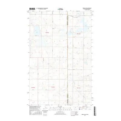
1948 Brush Lake
Sheridan County, MT
1948 Capeneys Lake
Sheridan County, MT

1948 Dagmar
Sheridan County, MT
1948 Reserve SE
Sheridan County, MT

1948 Sunnyhill School
Sheridan County, MT

1949 Alkali Coulee
Sheridan County, MT

1949 Reserve SE
Sheridan County, MT

1949 Sunnyhill School
Sheridan County, MT
1950 Shippe Canyon
Sheridan County, MT
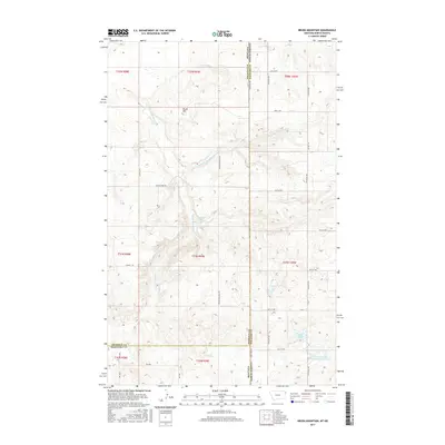
1974 Brush Mountain
Sheridan County, MT

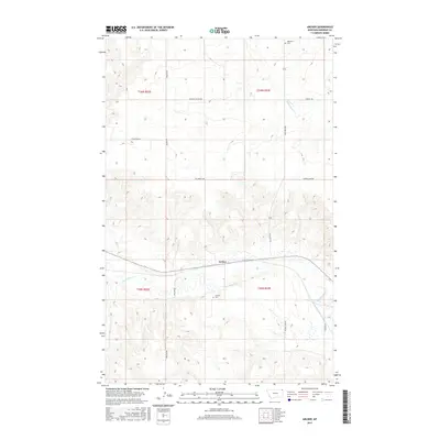
1983 Archer
Sheridan County, MT
1983 Coalridge
Sheridan County, MT

1983 Daleview
Sheridan County, MT

1983 Dominek Lake
Sheridan County, MT
1983 Dooley SE
Sheridan County, MT
1983 Dooley
Sheridan County, MT
1983 Dooley SW
Sheridan County, MT

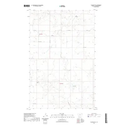
1983 Flagstaff Hill
Sheridan County, MT

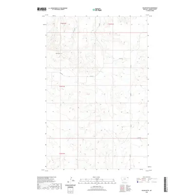
1983 Kisler Butte
Sheridan County, MT
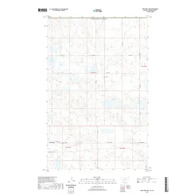
1983 Lone Tree Lake
Sheridan County, MT
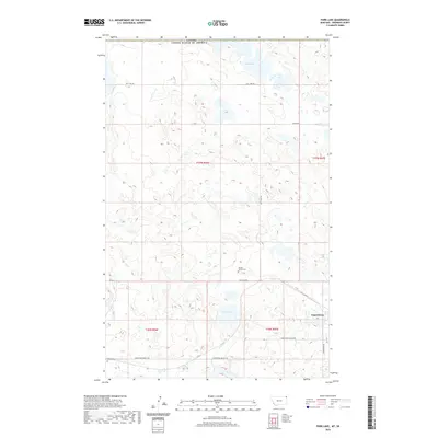
1983 Park Lake
Sheridan County, MT

1983 Plentywood NW
Sheridan County, MT

1983 Plentywood SW
Sheridan County, MT
1983 Raymond
Sheridan County, MT
1983 Reserve NE
Sheridan County, MT

1983 Soo NE
Sheridan County, MT

1983 Soo NW
Sheridan County, MT
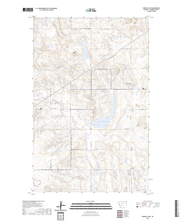
1983 Tadpole Lake
Sheridan County, MT

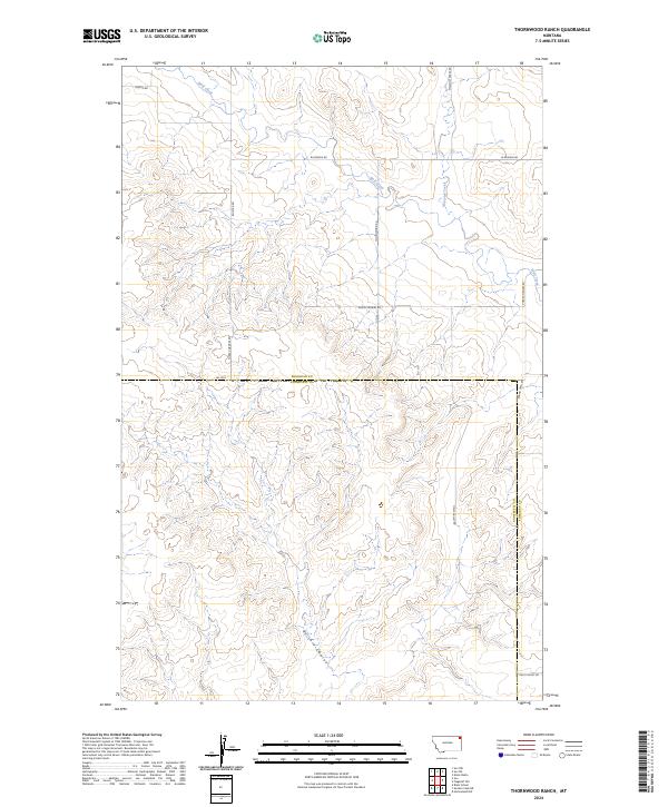
1983 Thornwood Ranch
Sheridan County, MT
1983 Westby North
Sheridan County, MT

1983 Westby South
Sheridan County, MT
1988 Sunnyhill School
Sheridan County, MT
2011 Alkali Coulee
Sheridan County, MT
2011 Archer
Sheridan County, MT
2011 Brush Lake
Sheridan County, MT
2011 Brush Mountain
Sheridan County, MT
2011 Capeneys Lake
Sheridan County, MT
2011 Coalridge
Sheridan County, MT
2011 Dagmar
Sheridan County, MT
2011 Daleview
Sheridan County, MT
2011 Dominek Lake
Sheridan County, MT
2011 Dooley SE
Sheridan County, MT
2011 Dooley
Sheridan County, MT
2011 Dooley SW
Sheridan County, MT
2011 Flagstaff Hill
Sheridan County, MT
2011 Kisler Butte
Sheridan County, MT
2011 Lone Tree Lake
Sheridan County, MT
2011 Park Lake
Sheridan County, MT
2011 Plentywood NW
Sheridan County, MT
2011 Plentywood SW
Sheridan County, MT
2011 Raymond
Sheridan County, MT
2011 Reserve NE
Sheridan County, MT
2011 Reserve SE
Sheridan County, MT
2011 Shippe Canyon
Sheridan County, MT
2011 Soo NE
Sheridan County, MT
2011 Soo NW
Sheridan County, MT
2011 Sunnyhill School
Sheridan County, MT
2011 Tadpole Lake
Sheridan County, MT
2011 Thornwood Ranch
Sheridan County, MT
2011 Westby North
Sheridan County, MT
2011 Westby South
Sheridan County, MT
2014 Alkali Coulee
Sheridan County, MT
2014 Archer
Sheridan County, MT
2014 Brush Lake
Sheridan County, MT
2014 Brush Mountain
Sheridan County, MT
2014 Capeneys Lake
Sheridan County, MT
2014 Coalridge
Sheridan County, MT
2014 Dagmar
Sheridan County, MT
2014 Daleview
Sheridan County, MT
2014 Dominek Lake
Sheridan County, MT
2014 Dooley SE
Sheridan County, MT
2014 Dooley
Sheridan County, MT
2014 Dooley SW
Sheridan County, MT
2014 Flagstaff Hill
Sheridan County, MT

2014 Kisler Butte
Sheridan County, MT
2014 Lone Tree Lake
Sheridan County, MT
2014 Park Lake
Sheridan County, MT
2014 Plentywood NW
Sheridan County, MT
2014 Plentywood SW
Sheridan County, MT
2014 Raymond
Sheridan County, MT
2014 Reserve NE
Sheridan County, MT
2014 Reserve SE
Sheridan County, MT
2014 Shippe Canyon
Sheridan County, MT
2014 Soo NE
Sheridan County, MT
2014 Soo NW
Sheridan County, MT
2014 Sunnyhill School
Sheridan County, MT
2014 Tadpole Lake
Sheridan County, MT
2014 Thornwood Ranch
Sheridan County, MT
2014 Westby North
Sheridan County, MT
2014 Westby South
Sheridan County, MT
2017 Alkali Coulee
Sheridan County, MT
2017 Archer
Sheridan County, MT
2017 Brush Lake
Sheridan County, MT
2017 Brush Mountain
Sheridan County, MT
2017 Capeneys Lake
Sheridan County, MT
2017 Coalridge
Sheridan County, MT
2017 Dagmar
Sheridan County, MT
2017 Daleview
Sheridan County, MT
2017 Dominek Lake
Sheridan County, MT
2017 Dooley SE
Sheridan County, MT
2017 Dooley
Sheridan County, MT
2017 Dooley SW
Sheridan County, MT
2017 Flagstaff Hill
Sheridan County, MT
2017 Kisler Butte
Sheridan County, MT
2017 Lone Tree Lake
Sheridan County, MT
2017 Park Lake
Sheridan County, MT
2017 Plentywood NW
Sheridan County, MT
2017 Plentywood SW
Sheridan County, MT
2017 Raymond
Sheridan County, MT
2017 Reserve NE
Sheridan County, MT
2017 Reserve SE
Sheridan County, MT
2017 Shippe Canyon
Sheridan County, MT
2017 Soo NE
Sheridan County, MT
2017 Soo NW
Sheridan County, MT
2017 Sunnyhill School
Sheridan County, MT
2017 Tadpole Lake
Sheridan County, MT
2017 Thornwood Ranch
Sheridan County, MT
2017 Westby North
Sheridan County, MT
2017 Westby South
Sheridan County, MT
2020 Alkali Coulee
Sheridan County, MT
2020 Archer
Sheridan County, MT
2020 Brush Lake
Sheridan County, MT
2020 Brush Mountain
Sheridan County, MT
2020 Capeneys Lake
Sheridan County, MT
2020 Coalridge
Sheridan County, MT
2020 Dagmar
Sheridan County, MT
2020 Daleview
Sheridan County, MT
2020 Dominek Lake
Sheridan County, MT
2020 Dooley SE
Sheridan County, MT
2020 Dooley
Sheridan County, MT
2020 Dooley SW
Sheridan County, MT
2020 Flagstaff Hill
Sheridan County, MT
2020 Kisler Butte
Sheridan County, MT
2020 Lone Tree Lake
Sheridan County, MT
2020 Park Lake
Sheridan County, MT
2020 Plentywood NW
Sheridan County, MT
2020 Plentywood SW
Sheridan County, MT
2020 Raymond
Sheridan County, MT
2020 Reserve NE
Sheridan County, MT
2020 Reserve SE
Sheridan County, MT
2020 Shippe Canyon
Sheridan County, MT
2020 Soo NE
Sheridan County, MT
2020 Soo NW
Sheridan County, MT
2020 Sunnyhill School
Sheridan County, MT
2020 Tadpole Lake
Sheridan County, MT
2020 Thornwood Ranch
Sheridan County, MT
2020 Westby North
Sheridan County, MT
2020 Westby South
Sheridan County, MT
2024 Alkali Coulee
Sheridan County, MT
2024 Archer
Sheridan County, MT
2024 Brush Lake
Sheridan County, MT
2024 Brush Mountain
Sheridan County, MT
2024 Capeneys Lake
Sheridan County, MT
2024 Coalridge
Sheridan County, MT

2024 Dagmar
Sheridan County, MT
2024 Daleview
Sheridan County, MT
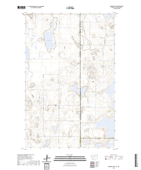
2024 Dominek Lake
Sheridan County, MT
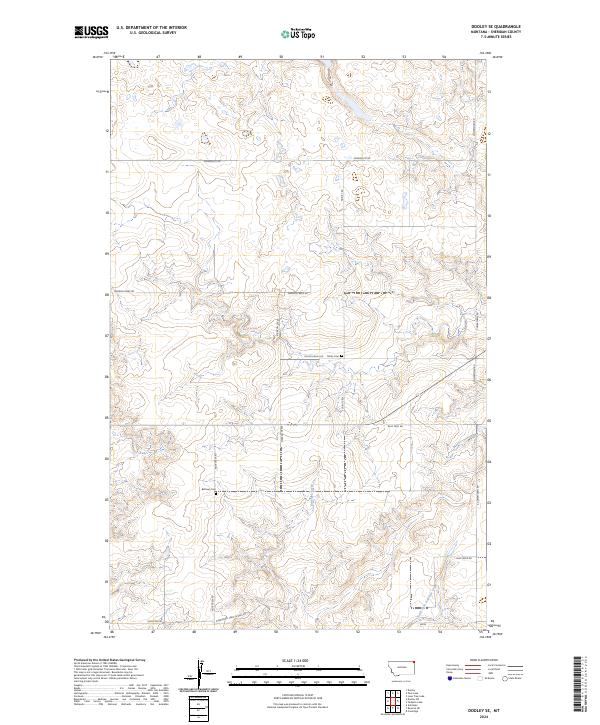
2024 Dooley SE
Sheridan County, MT
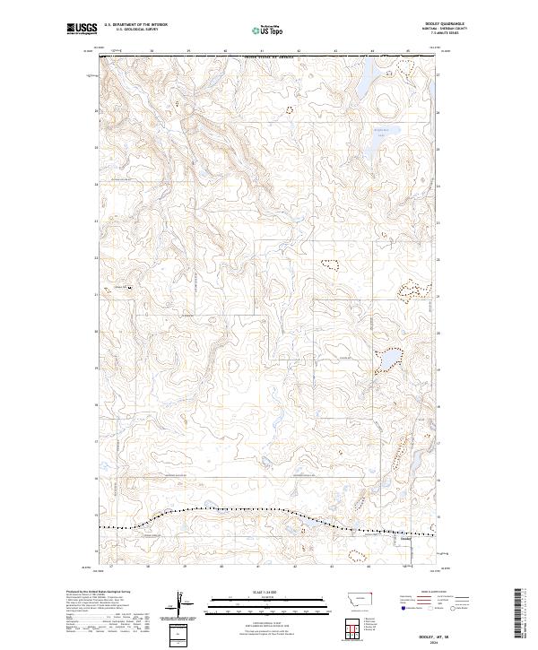
2024 Dooley
Sheridan County, MT
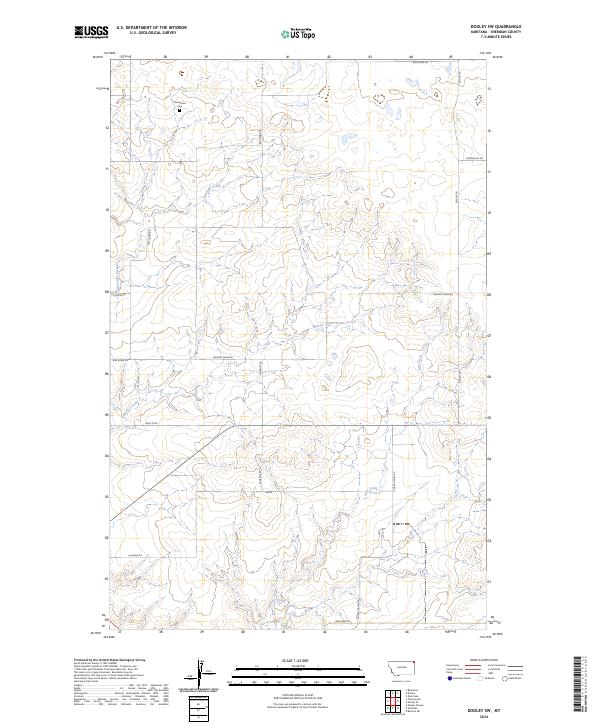
2024 Dooley SW
Sheridan County, MT
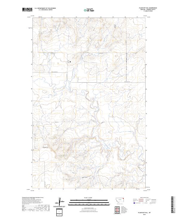
2024 Flagstaff Hill
Sheridan County, MT
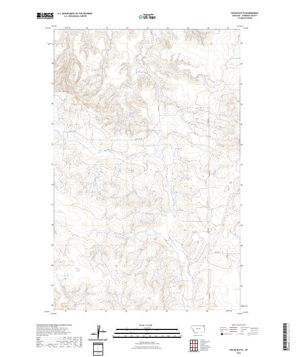
2024 Kisler Butte
Sheridan County, MT
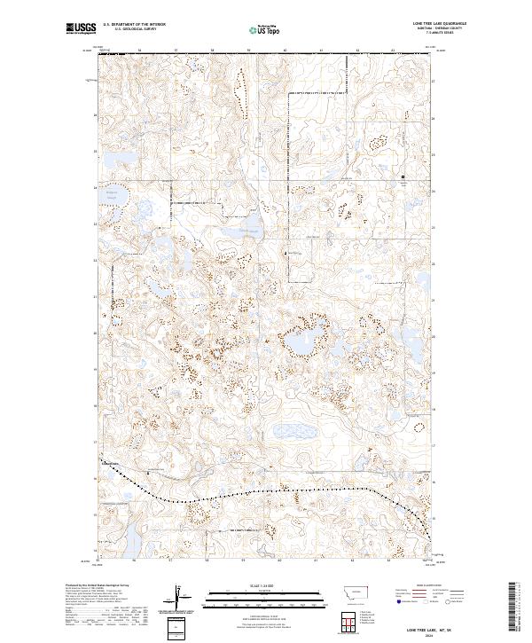
2024 Lone Tree Lake
Sheridan County, MT
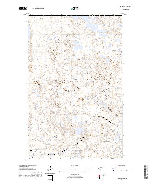
2024 Park Lake
Sheridan County, MT
2024 Plentywood NW
Sheridan County, MT

2024 Plentywood SW
Sheridan County, MT
2024 Raymond
Sheridan County, MT
2024 Reserve NE
Sheridan County, MT
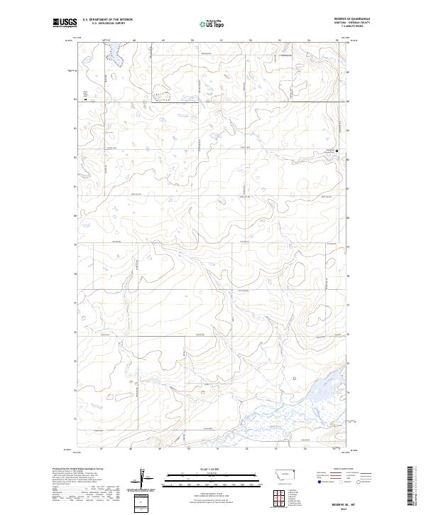
2024 Reserve SE
Sheridan County, MT
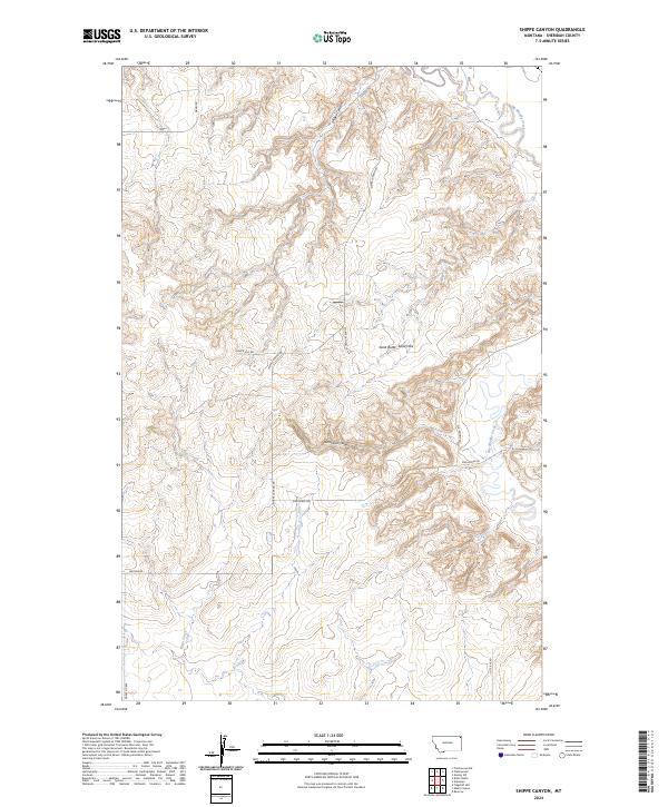
2024 Shippe Canyon
Sheridan County, MT
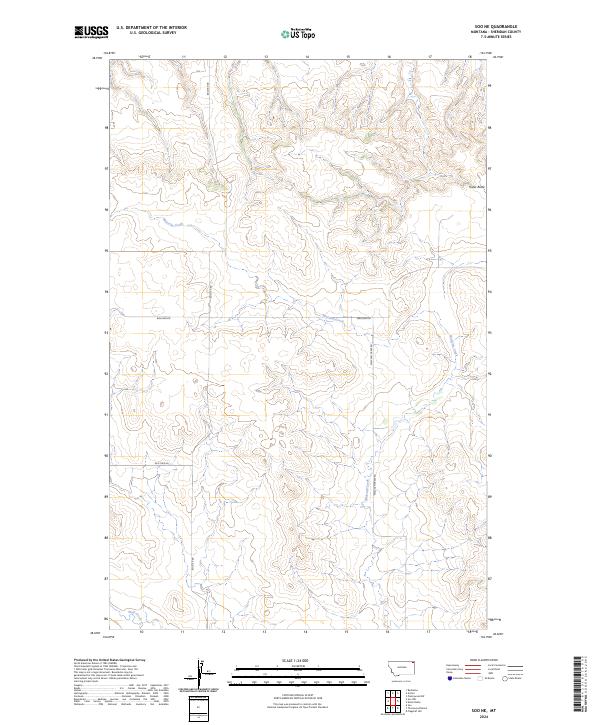
2024 Soo NE
Sheridan County, MT
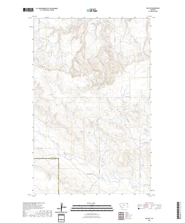
2024 Soo NW
Sheridan County, MT
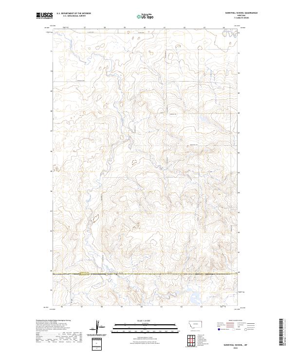
2024 Sunnyhill School
Sheridan County, MT
2024 Tadpole Lake
Sheridan County, MT
2024 Thornwood Ranch
Sheridan County, MT

2024 Westby North
Sheridan County, MT

2024 Westby South
Sheridan County, MT