Old Maps of Eureka, Montana for Academic Research
Study the evolution of Eureka with 18 high-resolution historic maps. Whether you're teaching, researching, or modeling changes in land use, these maps provide essential visual documentation of urban, environmental, and geographic change.
- Analyze long-term change: Track patterns in development, transportation, and natural features.
- Ideal for environmental or urban studies: Support academic projects with primary historical map data.
- Use in the classroom or lab: Educators and researchers rely on these maps to bring historical context to life.
These maps are a powerful tool for teaching, research, and visualizing how Eureka has changed over the decades.
Eureka, MT maps
(18)- 1957 Map of Kalispell, 1967 Print
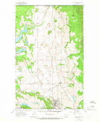
 1957 Kalispell1967 Print · USGSNorthwest Montana in the late fifties showcases a mountain landscape transitioning between wilderness and industry. Genealogists and researchers can trace the Great Northern rail corridor through Kalispell and Whitefish, or locate landmarks like the Montana Soldiers Home and Hungry Horse Reservoir.3 unique versions available
 - 1960 Map of Kalispell
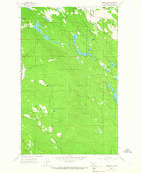
 1960 Kalispell1960 Print · USGSNorthwest Montana in the late fifties is defined by the mountain corridors of the Great Northern Railway and the vast reaches of Glacier National Park. Researchers can trace the legacy of timber and mining towns like Libby, Rexford, and Whitefish, or locate landmarks such as the Snowshoe Mine.
 - 1961 Map of Kalispell
 1961 Kalispell1961 Print · USGSNorthwestern Montana at the start of the 1960s shows a landscape of timber-driven rail towns and the sprawling wild lands of Glacier National Park. Genealogists and historians can trace the route of the Great Northern through mountain passes or locate old settlements like Fortine, Trego, and Warland.
 - 1963 Map of Eureka North, 1966 Print
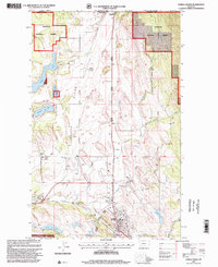
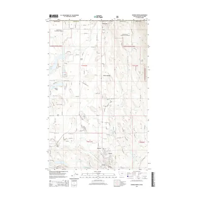
 1963 Eureka North1966 Print · USGSThe international border at Roosville and the agricultural reaches of the Tobacco Plains are captured in the early sixties. Researchers can trace the Great Northern rail line, locate the Eureka Cemetery, and find old school sites like Iowa Flats School.3 unique versions available
 - 1963 Map of Eureka South, 1966 Print
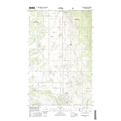
 1963 Eureka South1966 Print · USGSLincoln County’s timber and rail country is captured here in the early sixties as the Great Northern tracks follow the Tobacco River through Eureka. Researchers can trace old forest routes and landmarks like the Black Butte Lookout Tower and Thirsty Lake.3 unique versions available
 - 1979 Map of Yaak River, 1993 Print
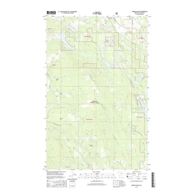
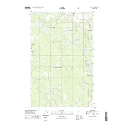
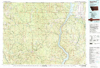 1979 Yaak River1993 Print · USGSThe Purcell and Salish Mountains define this corner of Northwest Montana in the late seventies. Researchers can trace remote fire lookouts like Lookout Tower Webb Mountain or study rail towns like Eureka and Rexford along the Burlington Northern.
 - 1997 Map of Eureka South, 2000 Print
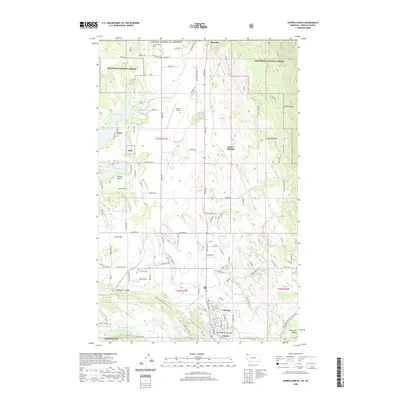
 1997 Eureka South2000 Print · USGSThe southern edge of the Eureka community and the surrounding Kootenai forestlands are documented here in the late 1990s. Local researchers can trace family landmarks and high-country vantage points like Black Butte Lookout, Virginia Hill, and the winding Tobacco River.
 - 1997 Map of Eureka North, 2000 Print
 1997 Eureka North2000 Print · USGSThe Montana borderlands near Eureka come into focus during the late 1990s, where the Tobacco River meets the Kootenai National Forest. Researchers can trace the international crossing at Roosville, locate the old Iowa Flats School, and find family names near Eureka Cem.
 - 2011 Map of Eureka South, 2011 Print
 2011 Eureka South2011 Print · USGSCovers Eureka, including Lincoln County, United States, and other nearby areas
 - 2011 Map of Eureka North, 2011 Print
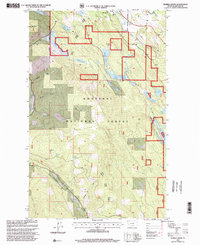
 2011 Eureka North2011 Print · USGSCovers Eureka, including Area B (Lake Koocanusa), Mountain View Mobile Home Park, and other nearby areas
 - 2014 Map of Eureka South, 2014 Print
 2014 Eureka South2014 Print · USGSCovers Eureka, including Lincoln County, United States, and other nearby areas
 - 2014 Map of Eureka North, 2014 Print
 2014 Eureka North2014 Print · USGSCovers Eureka, including Area B (Lake Koocanusa), Mountain View Mobile Home Park, and other nearby areas
 - 2017 Map of Eureka South, 2017 Print
 2017 Eureka South2017 Print · USGSCovers Eureka, including Lincoln County, United States, and other nearby areas
 - 2017 Map of Eureka North, 2017 Print
 2017 Eureka North2017 Print · USGSCovers Eureka, including Area B (Lake Koocanusa), Mountain View Mobile Home Park, and other nearby areas
 - 2020 Map of Eureka North, 2020 Print
 2020 Eureka North2020 Print · USGSCovers Eureka, including Area B (Lake Koocanusa), Mountain View Mobile Home Park, and other nearby areas
 - 2020 Map of Eureka South, 2020 Print
 2020 Eureka South2020 Print · USGSCovers Eureka, including Lincoln County, United States, and other nearby areas
 - 2024 Map of Eureka South, 2024 Print
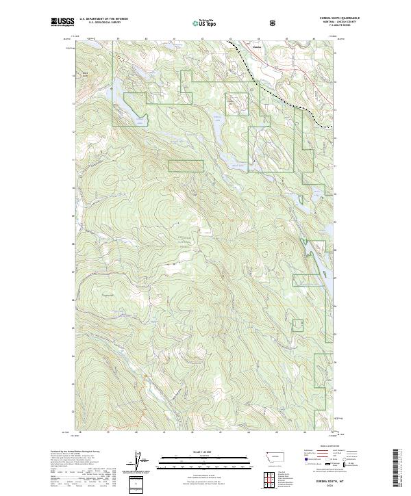 2024 Eureka South2024 Print · USGSLincoln County’s high country near Eureka is documented here during the 2020s, showing a land of alpine lakes and national forest trails. Researchers can trace historic access routes like Lydia Pinkham Trl or locate landmarks such as Eureka Hill and Tepee Lake.
 - 2024 Map of Eureka North, 2024 Print
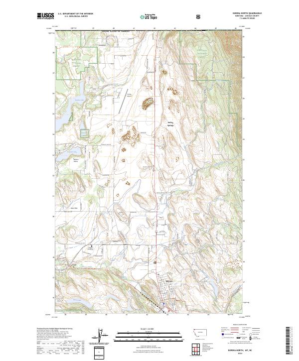 2024 Eureka North2024 Print · USGSThe Tobacco Plains of Lincoln County are mapped here in the modern era, showing the intersection of forest lands and valley settlements. Researchers can locate the Tobacco Valley Cem and trace the paths of Ksanka Creek and the Tobacco River.
End of results
Showing maps 1-18 of 18
Top cities near Eureka
Frequently asked questions
- What are the different types of historical maps available for Eureka?
- What is the oldest map of Eureka?
- Where can I purchase historical maps of Eureka for my home or office?
- Where can I download high-res historical maps of Eureka?
- Are there historical topographic maps available for Eureka?
- Is there historical aerial imagery available for Eureka?
- Where are historical maps of Eureka sourced from?