2020s Maps of Yellowstone County, Montana
Explore 152 historic maps of Yellowstone County from the 2020s. These maps offer a rare glimpse into what life looked like during the 2020s — showing old roads, neighborhoods, homes, and landmarks that have changed or disappeared over time.
Whether you're researching your family's past, planning a metal detecting trip, or studying how Yellowstone County's landscape evolved across the 2020s, these high-resolution maps are a powerful tool for exploring the history of this region.
- Focus on a specific era: All maps on this page are from the 2020s, giving you a focused view of this time period.
- See what’s changed: Compare century-old streets, trails, and buildings to today's modern landscape using overlays and satellite layers.
- Research with precision: Use these maps for genealogy, historical research, land use analysis, or educational projects.
- View, download, or print: Maps are fully viewable online in high resolution, and can be downloaded or printed for your own records.
Start exploring Yellowstone County's history through authentic maps from the 2020s. This is your window into the past.
Yellowstone County, MT maps
(152)- 2020 Map of Devils Kitchen, 2020 Print
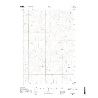 2020 Devils Kitchen2020 Print · USGSYellowstone and Treasure Counties are shown here in the 2020s, a landscape defined by ranching infrastructure and complex topography. Local historians can trace the drainages of Rough Coulee and Sand Coulee or locate water sources like Horton Reservoir.
 - 2020 Map of Waco, 2020 Print
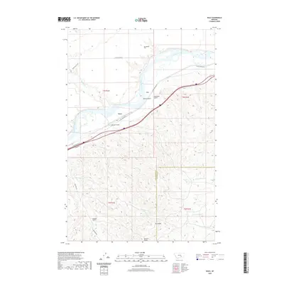 2020 Waco2020 Print · USGSWaco and the surrounding Yellowstone River valley are captured here in the early twenty-first century as the landscape transitions from river flats to high ridges. Local historians can trace the geography of the area through named features like Waco, Sevenmile Flat, and the rugged terrain of Sawmill Coulee.
 - 2020 Map of Bighorn, 2020 Print
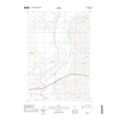 2020 Bighorn2020 Print · USGSBighorn and the surrounding river bottoms are captured here as they appeared in 2020 at the meeting of two major Montana waterways. Researchers can trace the irrigation history of Pease Bottom or locate family landmarks near Guys Bluffs and Government Island.
 - 2020 Map of Big Marys Island, 2020 Print
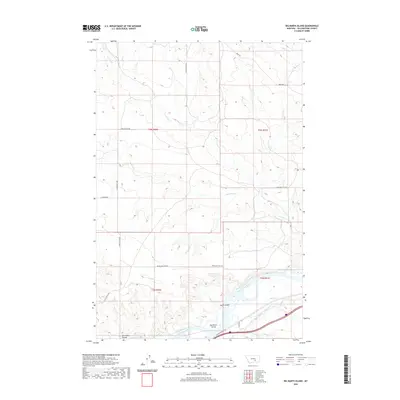 2020 Big Marys Island2020 Print · USGSThe Yellowstone River valley and the irrigation networks of south-central Montana are captured here in the early twenty-first century. Genealogists and researchers can trace the landscape from Big Marys Island across the dry gulches of Cow Gulch and Lost Cabin Coulee.
 - 2020 Map of Bull Mountain, 2020 Print
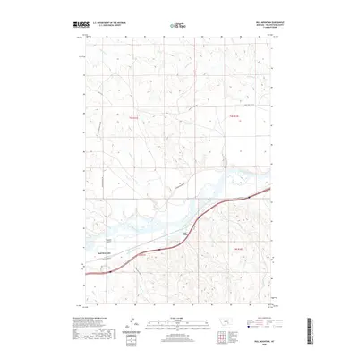 2020 Bull Mountain2020 Print · USGSThe Yellowstone River valley and the settlement of Bull Mountain are captured here in the early twenty-first century. Researchers can trace the path of the Huntley Main Canal and locate rural landmarks like Randalls Island and Rough Coulee.
 - 2020 Map of Mission Creek, 2020 Print
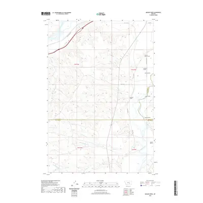 2020 Mission Creek2020 Print · USGSThe confluence of the Bighorn and Yellowstone rivers comes into focus in this recent survey. Researchers can trace land patterns across Mission Bottom and locate features like the Victory Ditch and Fighting Spring Coulee.
 - 2020 Map of Coal Bank Creek, 2020 Print
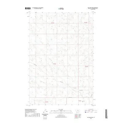 2020 Coal Bank Creek2020 Print · USGSYellowstone County's rural drainage systems are mapped here during the early twenty-first century, showing the area's natural landmarks. You can trace the path of Coal Bank Cr through the hills and locate the broad expanse of Sevenmile Flat near Seven Mile Flat Rd.
 - 2020 Map of Mexican Buttes, 2020 Print
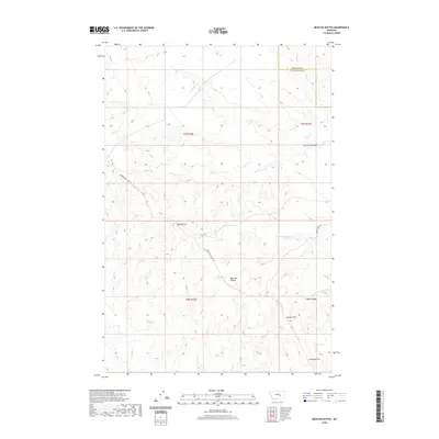 2020 Mexican Buttes2020 Print · USGSThe high plains of the Yellowstone-Treasure county border are documented here in the early twenty-first century. Researchers can trace the path of Musselshell Trail Rd as it passes notable landmarks like Mexican Buttes and Twin Buttes.
 - 2020 Map of Bull Mountain NW, 2020 Print
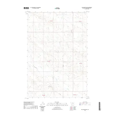 2020 Bull Mountain NW2020 Print · USGSYellowstone County in the contemporary era remains a landscape of high ridges and deep creek drainages. Researchers can locate the Castle Butte Cem and trace rural routes like Castle Butte Rd and Ridge Rd across this part of the Bull Mountains.
 - 2020 Map of Mailbox Hill, 2020 Print
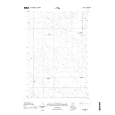 2020 Mailbox Hill2020 Print · USGSYellowstone County in the modern era remains a landscape of wide-open spaces and historic cattle routes. Genealogists and historians can trace the paths of Musselshell Trail Rd and Melstone Rd near landmarks like Mail Box Hill.
 - 2020 Map of Marsh Coulee, 2020 Print
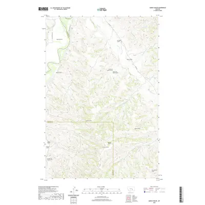 2020 Marsh Coulee2020 Print · USGSBig Sky Country ranching and river geography are on full display at the intersection of Yellowstone, Big Horn, and Treasure counties. Genealogists and historians can trace family-named landmarks across the breaks, from Mission Bottom to Joe Black Coulee and Eckman Coulee.
 - 2020 Map of Weed Creek West, 2020 Print
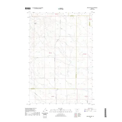 2020 Weed Creek West2020 Print · USGSYellowstone County ranching country is documented here in the early twenty-first century, showing the remote intersection of three Montana counties. Researchers can locate the Cabin Creek Cem and natural water sources like Lemonade Spring or Rock Spring.
 - 2020 Map of Custer, 2020 Print
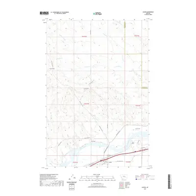 2020 Custer2020 Print · USGSCuster and the surrounding river breaks are mapped here in the modern era, showing the intersection of the Yellowstone Valley and the rugged high plains. Trace the paths of the Musselshell Trail Rd and Pease Bottom Rd or locate the Bighorn Tunnel.
 - 2020 Map of Mud Butte, 2020 Print
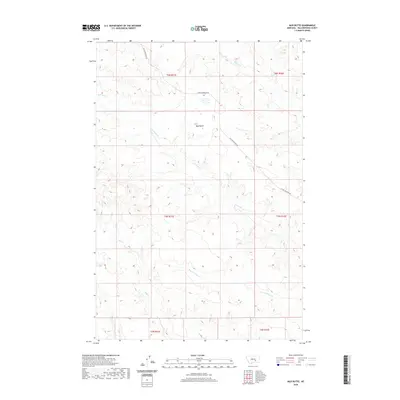 2020 Mud Butte2020 Print · USGSYellowstone County's open rangeland is captured here in the early twenty-first century, showing a landscape defined by seasonal watercourses and remote ranching access. Local researchers can trace the course of Antelope Cr past the high point of Mud Butte or follow the route of Custer Pineview Rd.
 - 2020 Map of Chandler Spring, 2020 Print
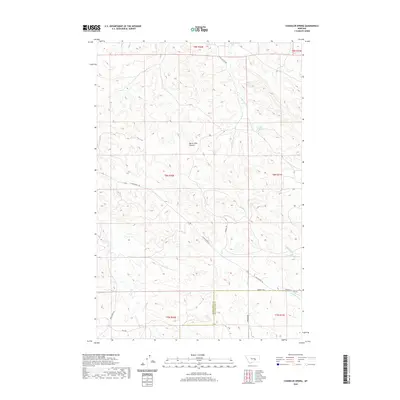 2020 Chandler Spring2020 Print · USGSThe high plains of the Musselshell and Yellowstone county line are documented here in the early twenty-first century. Researchers can trace the path of Burnt Shed Coulee and locate landmarks like Chandler Spring and S Musselshell Rd.
 - 2020 Map of Pine View, 2020 Print
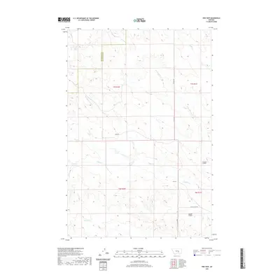 2020 Pine View2020 Print · USGSYellowstone County in the twenty-first century remains a place of deep coulees and seasonal creeks. Researchers can trace the path of Buffalo Cr through the township and locate small local landmarks like Pine View and Donalds Coulee.
 - 2020 Map of Badbaby Coulee, 2020 Print
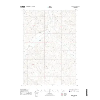 2020 Badbaby Coulee2020 Print · USGSYellowstone County in the modern era remains defined by its complex drainage systems and rural service roads. Researchers can trace the paths of Pryor Cr and identify family-named landmarks like Smitty Coulee and Cashen Coulee.
 - 2020 Map of Woody Mountain NW, 2020 Print
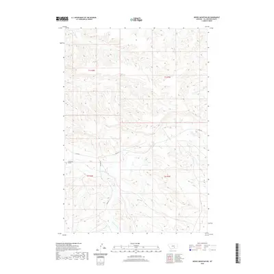 2020 Woody Mountain NW2020 Print · USGSYellowstone County in 2020 maintains its rural character through an intricate network of coulees and seasonal creek beds. Genealogists and researchers can trace local land access via Hardin Rd and the drainage of Broken Leg Cr or Alkali Cr.
 - 2020 Map of Nibbe, 2020 Print
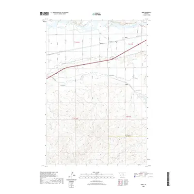 2020 Nibbe2020 Print · USGSThe Yellowstone River valley is captured here in the early twenty-first century, showcasing its vital irrigation and transport corridors. Genealogists and researchers can trace the small hubs of Nibbe, Newton, and Mann along the path of Old Hwy 312.
 - 2020 Map of Chilkoot Coulee, 2020 Print
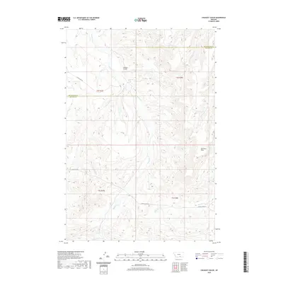 2020 Chilkoot Coulee2020 Print · USGSThe borderlands of Yellowstone and Big Horn counties are captured here in the early 2000s, showcasing a landscape of high ridges and deep coulees. Genealogists and researchers can trace the remote paths of Pryor-St Xavier Rd and find the headwaters of Beauvais Cr and Chilkoot Coulee.
 - 2020 Map of Laurel, 2020 Print
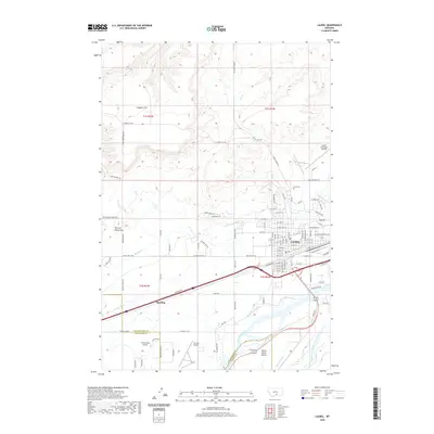 2020 Laurel2020 Print · USGSLaurel and the river valleys of Yellowstone County are captured in this recent survey during a period of sustained growth. Researchers can trace the town's expansion toward Spurling and identify local landmarks like the Laurel Cem and the extensive Big Ditch irrigation system.
 - 2020 Map of Lemon Ranch, 2020 Print
 2020 Lemon Ranch2020 Print · USGSThe ranchlands of Yellowstone and Big Horn counties are captured here in the early twenty-first century. Researchers can trace the drainages of Deadmans Coulee and Wagon Box Coulee or locate Lemon Ranch along the ridge-and-valley terrain.
 - 2020 Map of Soda Springs NW, 2020 Print
 2020 Soda Springs NW2020 Print · USGSBillings and the high Yellowstone County coulees are documented in 2020 at a point of steady suburban expansion. Trace the modern street grids of Billings as they meet older ranch roads and landmarks like Big Coulee and the Freight Trl.
 - 2020 Map of Bear Coulee, 2020 Print
 2020 Bear Coulee2020 Print · USGSBig Horn and Yellowstone counties meet among these high ridges and deep coulees in the years following the millennium. Genealogists and historians can trace the paths of the Pryor-St Xavier Rd and remote drainages like Beauvais Cr and Buster Cr.
 - 2020 Map of Billings West, 2020 Print
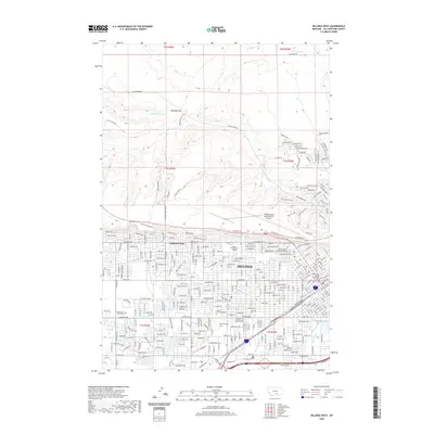 2020 Billings West2020 Print · USGSBillings and its western suburbs are shown at a period of significant modern expansion beneath the towering Rimrocks cliffs. Researchers can trace the layout of MSU Billings and find family records at Mountview Cem or Calvary Cem.
Showing maps 1-25 of 152
Top cities of Yellowstone County
Frequently asked questions
- What are the different types of historical maps available for Yellowstone County?
- What is the oldest map of Yellowstone County?
- Where can I purchase historical maps of Yellowstone County for my home or office?
- Where can I download high-res historical maps of Yellowstone County?
- Are there historical topographic maps available for Yellowstone County?
- Is there historical aerial imagery available for Yellowstone County?
- Where are historical maps of Yellowstone County sourced from?