2010s Maps of Yellowstone County, Montana
Explore 225 historic maps of Yellowstone County from the 2010s. These maps offer a rare glimpse into what life looked like during the 2010s — showing old roads, neighborhoods, homes, and landmarks that have changed or disappeared over time.
Whether you're researching your family's past, planning a metal detecting trip, or studying how Yellowstone County's landscape evolved across the 2010s, these high-resolution maps are a powerful tool for exploring the history of this region.
- Focus on a specific era: All maps on this page are from the 2010s, giving you a focused view of this time period.
- See what’s changed: Compare century-old streets, trails, and buildings to today's modern landscape using overlays and satellite layers.
- Research with precision: Use these maps for genealogy, historical research, land use analysis, or educational projects.
- View, download, or print: Maps are fully viewable online in high resolution, and can be downloaded or printed for your own records.
Start exploring Yellowstone County's history through authentic maps from the 2010s. This is your window into the past.
Yellowstone County, MT maps
(225)- 2011 Map of Soda Springs NW, 2011 Print
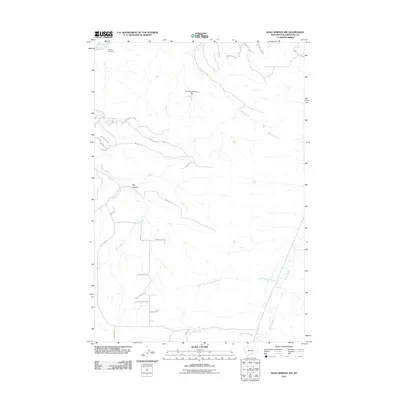 2011 Soda Springs NW2011 Print · USGSThe rural expanses south of Billings come into focus in the early 2010s, showing a landscape of ranching roads and river bends. Genealogists and land researchers can trace property access via Heyu Cow Ranch Rd or locate landmarks like the Billings Racetrack and Big Coulee.
 - 2011 Map of Rimrock, 2011 Print
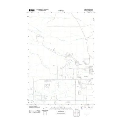 2011 Rimrock2011 Print · USGSBillings and its western fringes are shown at a period of steady growth during the early twenty-first century. Genealogists and local historians can trace the transition from rural landmarks like Stewart Ranch and Iran Spring to newer suburban developments near Rimrock.
 - 2011 Map of Hickson Ranch, 2011 Print
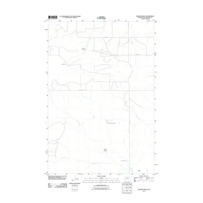 2011 Hickson Ranch2011 Print · USGSYellowstone County ranching country is shown here in the early twenty-first century, centered on large landholdings and essential water infrastructure. Researchers can trace local homesteads like Hickson Ranch and Mackey Ranch alongside Dover D Dam Number 1.
 - 2011 Map of Vale Creek Ranch, 2011 Print
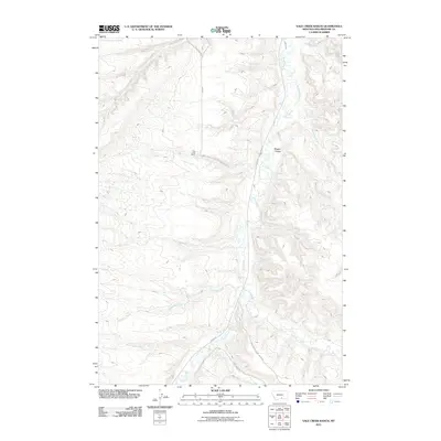 2011 Vale Creek Ranch2011 Print · USGSYellowstone County ranching country comes into focus in this early 21st-century survey of the Pryor Creek drainage. Genealogists and local historians can trace family land and rural routes near Vale Creek Ranch, Magpie Coulee, and Pryor Creek.
 - 2011 Map of Acton, 2011 Print
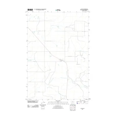 2011 Acton2011 Print · USGSYellowstone County ranching and rail infrastructure are detailed here during the early twenty-first century. Genealogists and local historians can trace family-named routes and landmarks like Hickson Ranch, Mammen Trl, and Buffalo Springs Rd.
 - 2011 Map of Mossmain SW, 2011 Print
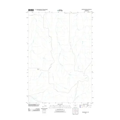 2011 Mossmain SW2011 Print · USGSYellowstone County's rural landscape is shown here in the early twenty-first century, featuring the intersection of energy production and natural drainages. Researchers can locate the Mosser Dome Oil Field and trace watercourses like Davis Creek and Duck Creek.
 - 2011 Map of Billings West, 2011 Print
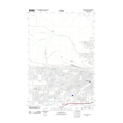 2011 Billings West2011 Print · USGSBillings at the start of the decade shows a sprawling urban landscape meeting the high sandstone bluffs of the Rimrocks. Researchers can trace old irrigation systems like Grey Eagle Ditch and find historical burial sites such as Beth Aaron Cemetery.
 - 2011 Map of Soda Springs, 2011 Print
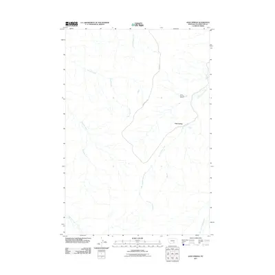 2011 Soda Springs2011 Print · USGSYellowstone County in the early twenty-first century reveals a landscape shaped by the Crow Reservation's infrastructure and the winding drainages of the Pryor Creek system. Researchers can trace local water management and access routes via Crow Number 83 Dam, Soda Springs, and the Indian Service Rd.
 - 2011 Map of Deep Creek, 2011 Print
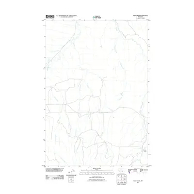 2011 Deep Creek2011 Print · USGSYellowstone County at the start of the decade reveals a landscape defined by ranch roads and the complex drainages of the Pryor Creek basin. Local historians can trace the paths of Pryor Rd and find the location of the Gc Lande Number 1 Dam.
 - 2011 Map of Indian Arrow, 2011 Print
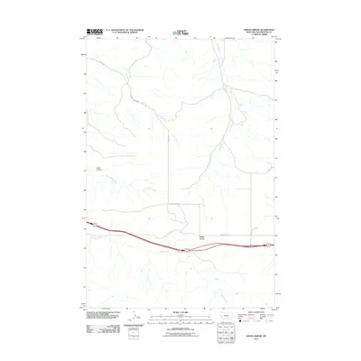 2011 Indian Arrow2011 Print · USGSYellowstone County, Montana, is shown here in the early twenty-first century, where the local economy still aligns with the rugged drainage of the high plains. Researchers can trace the paths of Arrow Creek and Girl Creek, or locate the site of Indian Arrow along the major interstate corridor.
 - 2011 Map of Gails Coulee, 2011 Print
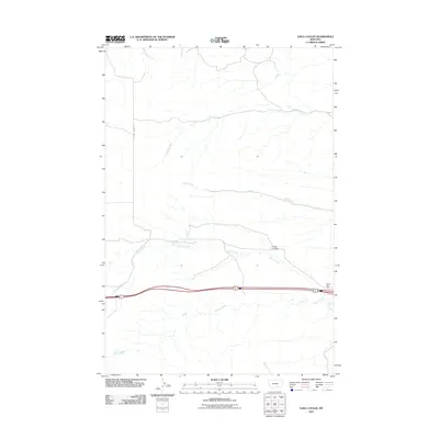 2011 Gails Coulee2011 Print · USGSYellowstone County's open plains are captured here in the early twenty-first century, showing the intersection of vital watercourses and modern transit. Trace the paths of Tenmile Creek and Alkali Creek or locate the namesake Gails Coulee north of the highway.
 - 2011 Map of Pryor NW, 2011 Print
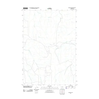 2011 Pryor NW2011 Print · USGSYellowstone County at the start of the 2010s reveals a quiet landscape of high-plains drainages and rural routes. Researchers can trace the paths of Wolf Creek, Plum Creek, and Macheta Creek as they cross Pryor Rd and Edgar Rd.
 - 2011 Map of Stratford Hill, 2011 Print
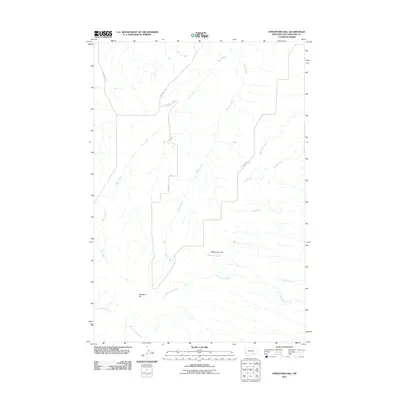 2011 Stratford Hill2011 Print · USGSYellowstone County's rural landscape is captured here in the early twenty-first century, showing a region defined by its high ridges and many winding creeks. Researchers can trace land patterns along Blue Creek or locate landmarks like Stratford Hill and McCormick Hill.
 - 2011 Map of Badbaby Coulee, 2011 Print
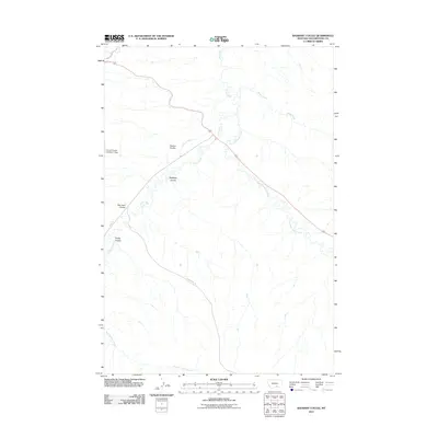 2011 Badbaby Coulee2011 Print · USGSYellowstone County in the early 2010s reveals a high-plains landscape defined by water rights and named coulees. Researchers can trace land use through the Coburn Ditch and locate family-named landmarks like Sue Jane Coulee and Smitty Coulee.
 - 2011 Map of Pryor, 2011 Print
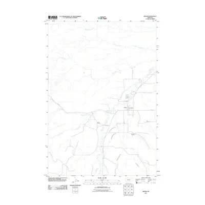 2011 Pryor2011 Print · USGSBig Horn County life centers on the town of Pryor in this early twenty-first-century survey of the Crow Reservation. Local researchers can trace the intricate irrigation network of the Pryor Ditch Number One or locate family sites at Big Day Cemetery and Singgood Cemetery.
 - 2011 Map of Molt, 2011 Print
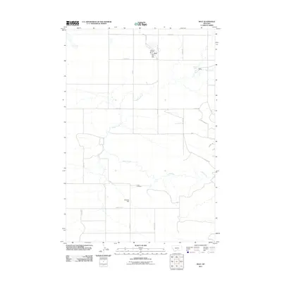 2011 Molt2011 Print · USGSMolt and the surrounding Stillwater County ranchlands are captured here in the early twenty-first century. Genealogists and local researchers can locate family landmarks such as the Luckey Homestead, the Lazy K T Ranch, and the Coombs Flat area.
 - 2011 Map of Woody Mountain SE, 2011 Print
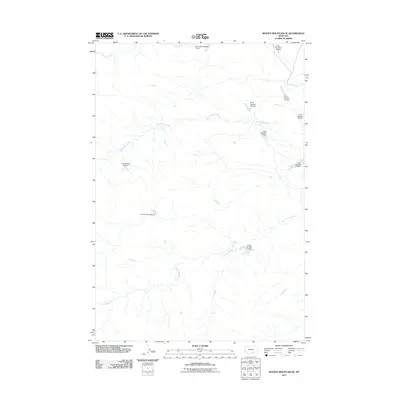 2011 Woody Mountain SE2011 Print · USGSYellowstone County's rural drainage systems are captured here during the early 2010s, showing an extensive network of water management projects. Researchers can trace the placement of numerous landmarks like Crow Number 19 Dam, Big Woody Creek, and Fly Creek.
 - 2011 Map of Rock Spring, 2011 Print
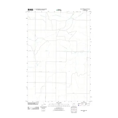 2011 Rock Spring2011 Print · USGSYellowstone County ranchlands are captured here in the early twenty-first century, showing the local creek system and rural road network. Researchers can trace historic paths like Pleasant Valley Trl and Buffalo Trail Rd alongside water sources at Rock Spring and Mud Spring.
 - 2011 Map of Laurel, 2011 Print
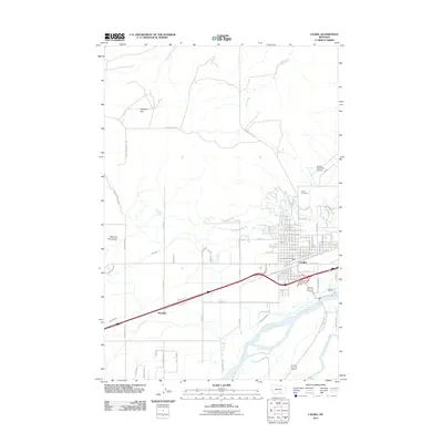 2011 Laurel2011 Print · USGSThe rail-and-river corridor of Laurel, Montana, is captured here in the early 21st century at the meeting of the Yellowstone and Clarks Fork. Trace the industrial footprint of the BNSF Railway and locate local landmarks like the Laurel Cemetery or Spurling.
 - 2011 Map of Chilkoot Coulee, 2011 Print
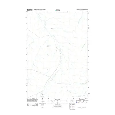 2011 Chilkoot Coulee2011 Print · USGSYellowstone County's open landscape is documented here in the early 2000s, showing the vital relationship between water management and ranching. Genealogists and local historians can trace family landmarks like the Schaak Ranch and irrigation features like Crow Number 12 Dam.
 - 2011 Map of North Telegraph Creek, 2011 Print
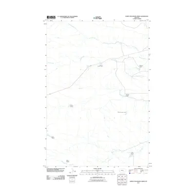 2011 North Telegraph Creek2011 Print · USGSYellowstone County's rural ranching landscape is captured in the early twenty-first century, showing a complex network of upland water management. Researchers can trace family-named water works like the McFerran Number 1 Dam or locate the headwaters of North Telegraph Creek.
 - 2011 Map of Two Pine School, 2011 Print
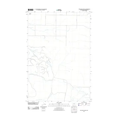 2011 Two Pine School2011 Print · USGSYellowstone County lands are shown in this decade-old survey as they transitioned from large agricultural tracts to residential lanes. Researchers can trace land development along Buffalo Trail Rd or locate rural landmarks like F Downs Number 1 Dam and Canyon Creek.
 - 2011 Map of Nibbe, 2011 Print
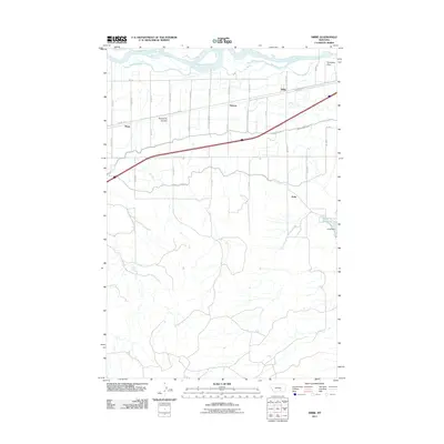 2011 Nibbe2011 Print · USGSThe Yellowstone River valley is captured here at the start of the 2010s, showcasing the intricate irrigation network of the Montana plains. Researchers can trace the development of rural settlements like Nibbe, the prominent Pompeys Pillar, and the essential Huntley Main Canal.
 - 2011 Map of Cottonwood Creek, 2011 Print
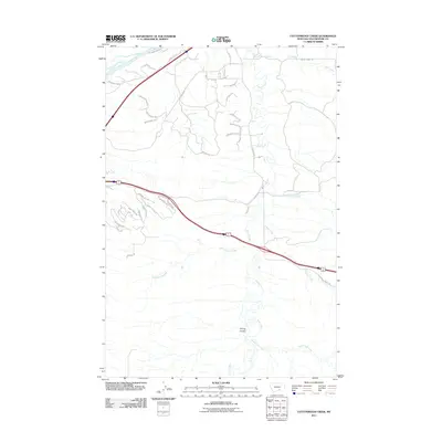 2011 Cottonwood Creek2011 Print · USGSYellowstone County at the start of the 2010s shows a landscape of river valleys and residential growth south of the Yellowstone River. Genealogists and local historians can trace new developments along Yellowstone Trl and follow the natural drainage of Spring Coulee and Pryor Creek.
 - 2011 Map of Yegen, 2011 Print
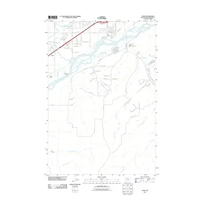 2011 Yegen2011 Print · USGSThe Yellowstone River valley southwest of Billings is captured here during a period of modern expansion and deep-rooted homesteading. Researchers can trace land use from the Ross Homestead and Holy Cross Cemetery to the drainage of Brockway Coulee.
Showing maps 1-25 of 225
Top cities of Yellowstone County
Frequently asked questions
- What are the different types of historical maps available for Yellowstone County?
- What is the oldest map of Yellowstone County?
- Where can I purchase historical maps of Yellowstone County for my home or office?
- Where can I download high-res historical maps of Yellowstone County?
- Are there historical topographic maps available for Yellowstone County?
- Is there historical aerial imagery available for Yellowstone County?
- Where are historical maps of Yellowstone County sourced from?