2010s Maps of Kearney County, Nebraska
Explore 60 historic maps of Kearney County from the 2010s. These maps offer a rare glimpse into what life looked like during the 2010s — showing old roads, neighborhoods, homes, and landmarks that have changed or disappeared over time.
Whether you're researching your family's past, planning a metal detecting trip, or studying how Kearney County's landscape evolved across the 2010s, these high-resolution maps are a powerful tool for exploring the history of this region.
- Focus on a specific era: All maps on this page are from the 2010s, giving you a focused view of this time period.
- See what’s changed: Compare century-old streets, trails, and buildings to today's modern landscape using overlays and satellite layers.
- Research with precision: Use these maps for genealogy, historical research, land use analysis, or educational projects.
- View, download, or print: Maps are fully viewable online in high resolution, and can be downloaded or printed for your own records.
Start exploring Kearney County's history through authentic maps from the 2010s. This is your window into the past.
Kearney County, NE maps
(60)- 2011 Map of Kearney SE, 2011 Print
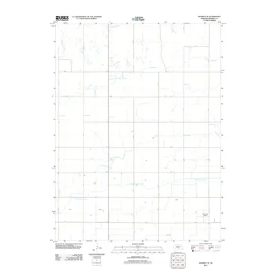 2011 Kearney SE2011 Print · USGSKearney County is shown in the early twenty-first century as a landscape defined by industrial agriculture and irrigation. Genealogists and local historians can trace the gridded rural road network and identify landmarks like Cavanaugh Airport and the Phelps County Canal.
 - 2011 Map of Axtell East, 2011 Print
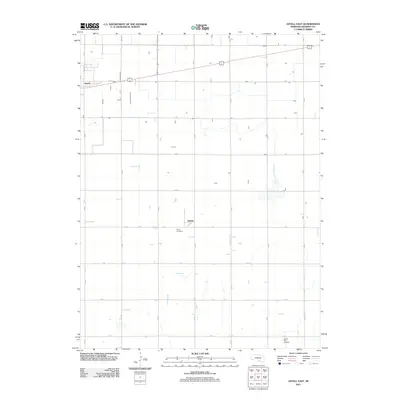 2011 Axtell East2011 Print · USGSKearney County agricultural lands are captured here in the early twenty-first century, showing the rigid grid of section-line roads. Genealogists can trace family footprints at Keene Cemetery or Garden Plain Cemetery and the crossroads of Keene.
 - 2011 Map of Axtell West, 2011 Print
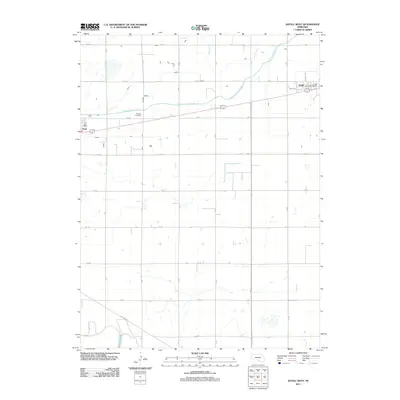 2011 Axtell West2011 Print · USGSKearney County's agricultural grid is captured here during the early twenty-first century as irrigation and transport define the local economy. Researchers can locate the Fridhem Cemetery and trace the paths of the Phelps County Canal near the settlements of Axtell and Funk.
 - 2011 Map of Hildreth, 2011 Print
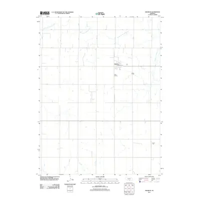 2011 Hildreth2011 Print · USGSHildreth and its surrounding Franklin County farmlands are captured here in the early twenty-first century as a well-ordered agricultural community. Genealogists and local historians can locate Saint Peters Cemetery, Hildreth Cemetery, and the Hildreth Post Office.
 - 2011 Map of Kearney SW, 2011 Print
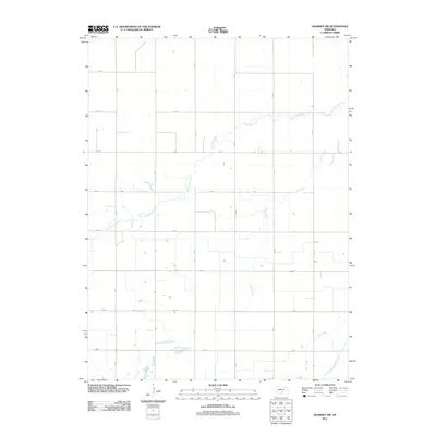 2011 Kearney SW2011 Print · USGSAgricultural patterns in Kearney County are captured here just after the turn of the millennium, showing a landscape defined by irrigation and section-line roads. Trace the path of the Phelps County Canal and the natural drainage of North Dry Creek and Lost Creek.
 - 2011 Map of Wilcox, 2011 Print
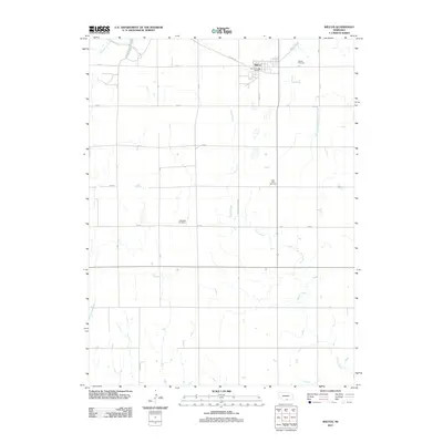 2011 Wilcox2011 Print · USGSWilcox and the surrounding Nebraska plains are captured here in the early twenty-first century as a well-ordered agricultural landscape. Genealogists can locate several local burying grounds, such as Saint Johns Cemetery and Freewater Cemetery, along the rural 725 Rd corridors.
 - 2011 Map of Alfalfa Center, 2011 Print
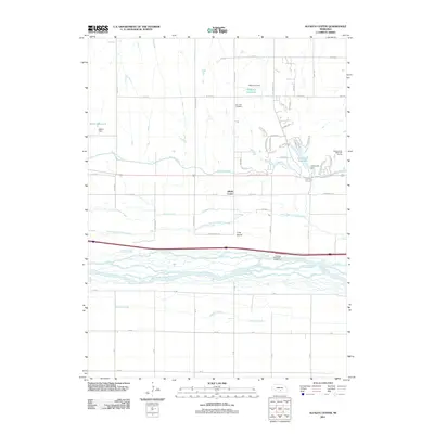 2011 Alfalfa Center2011 Print · USGSThe braided channels of the Platte River valley dominate this Nebraska landscape in the early twenty-first century. Researchers can trace the path of the Kearney Canal and locate local landmarks like Dove Hill Cemetery or the community of Alfalfa Center.
 - 2011 Map of Kearney, 2011 Print
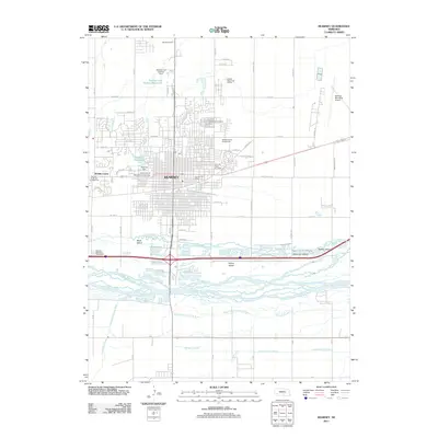 2011 Kearney2011 Print · USGSKearney and its riverfront islands are captured in detail during this recent era of Nebraska's development. Local researchers can trace the city's growth around the University of Nebraska at Kearney or locate landmarks like the Kearney Drive-In Theater and Buffalo County Fairgrounds.
 - 2011 Map of Denman, 2011 Print
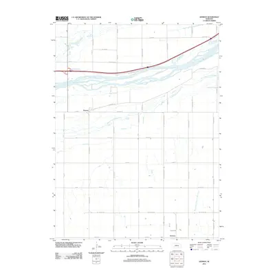 2011 Denman2011 Print · USGSThe Platte River valley in central Nebraska is captured here in the early 2010s, showcasing the braided channels and rural townships. Trace the lands around Kenesaw and Denman or follow the paths of Dry Creek and the West Branch Thirtytwo Mile Creek.
 - 2011 Map of Upland SE, 2011 Print
 2011 Upland SE2011 Print · USGSKearney County, Nebraska, is seen here at the start of the 2010s, showing a landscape shaped by agricultural grid roads and the Little Blue River. Genealogists and local historians can locate Osco Cemetery and Trinity Cemetery, as well as the Nelson Reservoir and Sindt Airport.
 - 2011 Map of Heartwell, 2011 Print
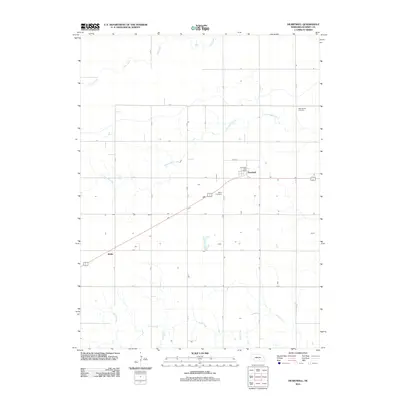 2011 Heartwell2011 Print · USGSSettled on the Nebraska plains during the early twenty-first century, this area of Kearney County maintains its deep agricultural roots. Genealogists and local historians can trace family plots near Holy Family Cemetery or locate the quiet crossroads of Koller and Brennen.
 - 2011 Map of Holstein, 2011 Print
 2011 Holstein2011 Print · USGSThe Nebraska plains around Holstein are presented here in the early twenty-first century, showcasing a landscape deeply rooted in its agricultural and transit heritage. Researchers can locate family sites and pioneer history at the Morseville Cemetery or Logan Cemetery.
 - 2011 Map of Minden South, 2011 Print
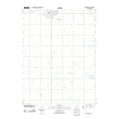 2011 Minden South2011 Print · USGSMinden and the surrounding Kearney County plains are captured here in the early twenty-first century as the landscape remains defined by agricultural grids. Genealogists and local historians can locate the Minden Prairie Cemetery, Free Mission Cemetery, and the controlled waters of Hubert Reservoir.
 - 2011 Map of Norman, 2011 Print
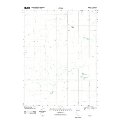 2011 Norman2011 Print · USGSThe village of Norman and its surrounding Kearney County farmland are captured here in the early 21st century. Researchers can trace local heritage at Norman Cemetery and May Cemetery or locate family-named landmarks like Petersen Reservoir and Hieb Reservoir.
 - 2011 Map of Newark, 2011 Print
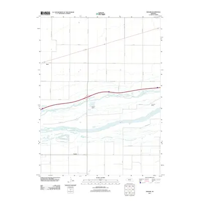 2011 Newark2011 Print · USGSThe braided Platte River valley comes into sharp focus during the early twenty-first century, showcasing a landscape defined by water and grid-lines. Genealogists and local historians can trace the areas surrounding Newark, Killgore Island, and Whisky Slough.
 - 2011 Map of Kenesaw, 2011 Print
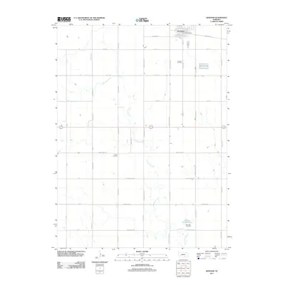 2011 Kenesaw2011 Print · USGSAgricultural life in central Nebraska remains anchored by the town of Kenesaw and its surrounding farmstead network in the early twenty-first century. Genealogists and local historians can locate Shiloh Cemetery, Kenesaw Cemetery, and landmarks like Shurigar Brothers Lake.
 - 2011 Map of Gibbon South, 2011 Print
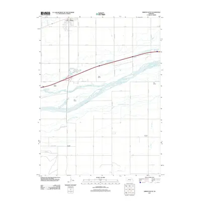 2011 Gibbon South2011 Print · USGSThe braided channels of the Platte River south of Gibbon are captured here in the early twenty-first century. Genealogists and local historians can trace family locations near Lowell, locate the Saint Paul Cemetery, or follow the banks of Wood River.
 - 2011 Map of Upland, 2011 Print
 2011 Upland2011 Print · USGSThe village of Upland and its surrounding Franklin County farmsteads are documented here in the early twenty-first century. Genealogists and local historians can locate the Upland Cemetery and trace water features like the Olson Reservoir and Little Blue River.
 - 2011 Map of Campbell, 2011 Print
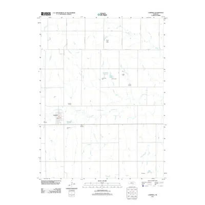 2011 Campbell2011 Print · USGSThe village of Campbell is documented here as it appeared in the early 21st century, centered in a landscape of river-fed agriculture. Genealogists and local historians can locate Saint Ann Cemetery, Harmony Cemetery, and the rural RS AG - Land Airport.
 - 2011 Map of Minden North, 2011 Print
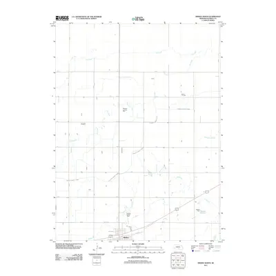 2011 Minden North2011 Print · USGSThe Kearney County prairie north of Minden is documented here in the early twenty-first century as a landscape of grid-line roads and vital water infrastructure. Genealogists and local historians can locate Liberty Cemetery, White Hill Cemetery, and the notable Pioneer Village Field.
 - 2014 Map of Newark, 2014 Print
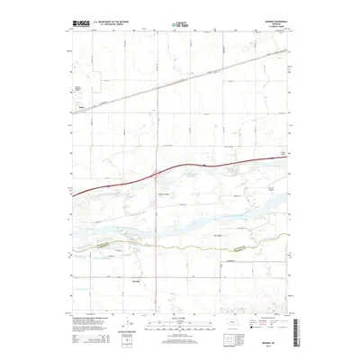 2014 Newark2014 Print · USGSThe braided channels of the Platte River split the landscape between Buffalo and Kearney counties in this early twenty-first-century survey. Genealogists and local historians can trace the rural communities of Newark and Buda or locate Killgore Island and Fort Far Island.
 - 2014 Map of Upland, 2014 Print
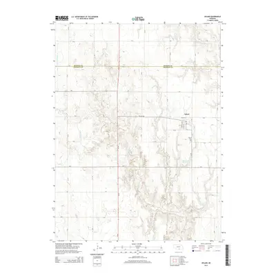 2014 Upland2014 Print · USGSUpland and the northern border of Franklin County are captured in this mid-2010s survey of the Nebraska plains. Genealogists and local historians can trace the town’s layout and find family landmarks like the Upland Cem or waterways like the Little Blue River.
 - 2014 Map of Denman, 2014 Print
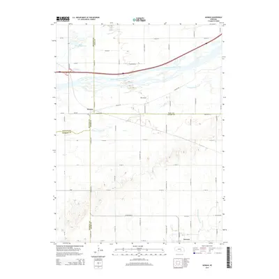 2014 Denman2014 Print · USGSAgricultural life in south-central Nebraska meets the braided Platte River in this early twenty-first-century survey. Genealogists can trace property lines near the village of Kenesaw or locate the rural crossroads at Denman near the many channels of Elm Island.
 - 2014 Map of Gibbon South, 2014 Print
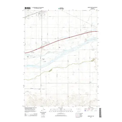 2014 Gibbon South2014 Print · USGSThe braided channels of the Platte River define this section of the Buffalo and Kearney county line during the early twenty-first century. Researchers can locate the Saint Paul Cemetery and trace the complex shorelines of Fort Farm and Clark Island.
 - 2014 Map of Upland SE, 2014 Print
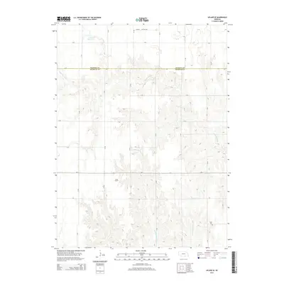 2014 Upland SE2014 Print · USGSThe Kearney and Franklin county borderlands are captured here in the early twenty-first century, showing a deeply etched prairie landscape. Genealogists and local historians can locate Osco Cem, Trinity Cem, and the small-scale aviation of Sindt Airport.
Showing maps 1-25 of 60
Top cities of Kearney County
- Minden historical maps
- Axtell historical maps
- Wilcox historical maps
- Newark historical maps
- Lowell historical maps
- Heartwell historical maps
See more
Frequently asked questions
- What are the different types of historical maps available for Kearney County?
- What is the oldest map of Kearney County?
- Where can I purchase historical maps of Kearney County for my home or office?
- Where can I download high-res historical maps of Kearney County?
- Are there historical topographic maps available for Kearney County?
- Is there historical aerial imagery available for Kearney County?
- Where are historical maps of Kearney County sourced from?