2020s Maps of Douglas County, Nevada
Explore 24 historic maps of Douglas County from the 2020s. These maps offer a rare glimpse into what life looked like during the 2020s — showing old roads, neighborhoods, homes, and landmarks that have changed or disappeared over time.
Whether you're researching your family's past, planning a metal detecting trip, or studying how Douglas County's landscape evolved across the 2020s, these high-resolution maps are a powerful tool for exploring the history of this region.
- Focus on a specific era: All maps on this page are from the 2020s, giving you a focused view of this time period.
- See what’s changed: Compare century-old streets, trails, and buildings to today's modern landscape using overlays and satellite layers.
- Research with precision: Use these maps for genealogy, historical research, land use analysis, or educational projects.
- View, download, or print: Maps are fully viewable online in high resolution, and can be downloaded or printed for your own records.
Start exploring Douglas County's history through authentic maps from the 2020s. This is your window into the past.
Douglas County, NV maps
(24)- 2021 Map of Artesia Lake, 2021 Print
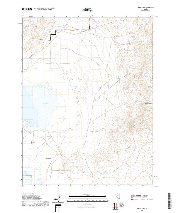 2021 Artesia Lake2021 Print · USGSLyon County and the high desert of western Nevada are captured in this recent survey. Researchers can trace land use patterns around Artesia Lake and locate landmarks like Delphi Springs and Nordyke Pass.
 - 2021 Map of Pine Nut Valley, 2021 Print
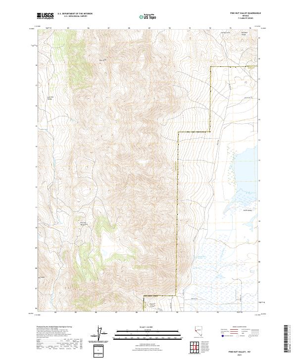 2021 Pine Nut Valley2021 Print · USGSThe Douglas and Lyon county line divides this high-country landscape during the early twenty-first century. Researchers can trace the path of the Simpson Trl and locate vital water sources like Nevada Hot Springs and Iron Spring.
 - 2021 Map of Carters Station, 2021 Print
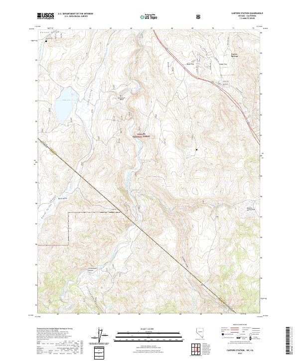 2021 Carters Station2021 Print · USGSDouglas County's eastern slopes come alive in this recent survey, showing the transition from the Carson Valley floor to the high forest. Researchers can locate the Washoe Cem and trace seasonal water sources like Hot Springs or the Falke and Tillman Ditch.
 - 2021 Map of McTarnahan Hill, 2021 Print
 2021 McTarnahan Hill2021 Print · USGSDouglas County and Carson City meet at the edge of the Carson Valley in this recent survey of Nevada's high desert landscape. Researchers can trace the modern residential growth of Johnson Lane and locate geological landmarks like Saratoga Hot Spring and McTarnahan Hill.
 - 2021 Map of Mineral Peak, 2021 Print
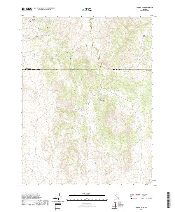 2021 Mineral Peak2021 Print · USGSHigh-desert ridges and hidden water sources define this Douglas County terrain as it appeared in recent years. Researchers can trace the rugged access along Sunrise Pass Rd to find specific landmarks like Mineral Peak, Erastra Spring, and Sullivan Canyon.
 - 2021 Map of Lincoln Flat, 2021 Print
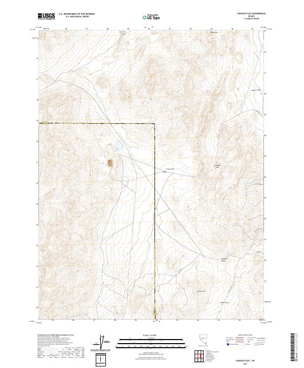 2021 Lincoln Flat2021 Print · USGSLyon and Douglas counties meet here in the rugged Nevada interior during the early 2020s. Researchers can trace historic transit routes through the Singatse Range via Gallagher Pass and Mason Pass Rd, or locate the rural margins of Mason Valley.
 - 2021 Map of Desert Creek Ranch, 2021 Print
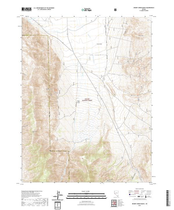 2021 Desert Creek Ranch2021 Print · USGSLyon and Douglas County ranch lands and high desert ranges are documented here in the early twenty-first century. Researchers can trace irrigation networks like the Saroni Canal, remote landing strips at Desert Creek Airport, and old routes like the Jackpot Mine Trl.
 - 2021 Map of Oreana Peak, 2021 Print
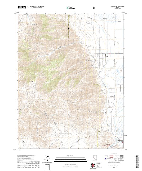 2021 Oreana Peak2021 Print · USGSThe Smith Valley and Wellington areas of Nevada are captured here as they appeared in 2021, showing the transition from desert floor to the high Pine Nut Mountains. Genealogists and researchers can trace local water rights via the Colony Ditch, locate family landmarks near Farias Wheel Airport, or explore the reaches of Hoye Canyon.
 - 2021 Map of Gardnerville, 2021 Print
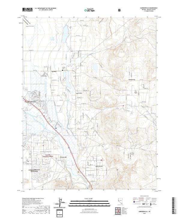 2021 Gardnerville2021 Print · USGSThe Douglas County high desert and Carson Valley are revealed here during a period of modern residential and agricultural expansion. Researchers can trace irrigation networks like the Allerman Canal and locate local landmarks such as Dresslerville and the Minden-Tahoe Airport.
 - 2021 Map of Topaz Lake, 2021 Print
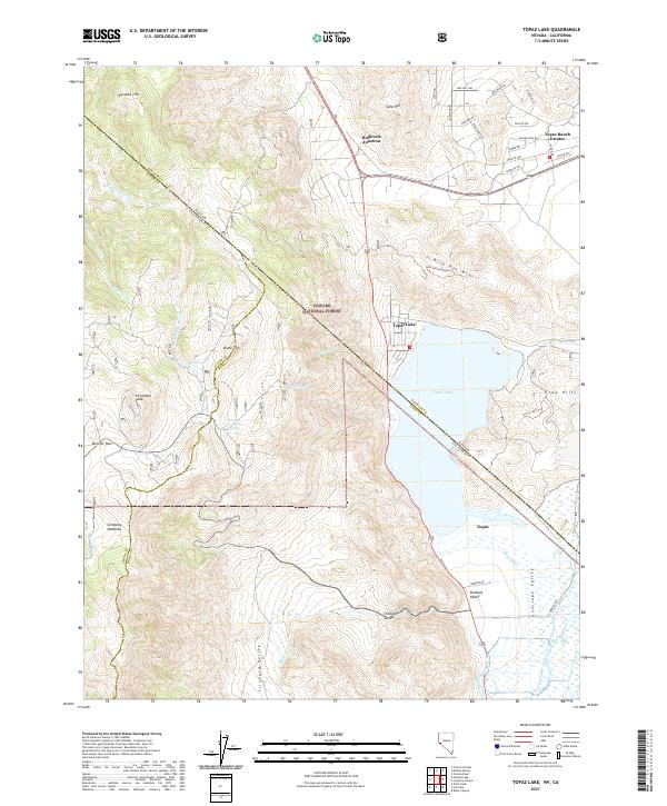 2021 Topaz Lake2021 Print · USGSThe high desert and alpine borderlands of the Nevada-California line come into focus in this recent survey. Local historians can trace the water systems of Topaz Lake and irrigation features like Swager Ditch alongside peaks such as Leviathan Peak.
 - 2021 Map of Mount Siegel, 2021 Print
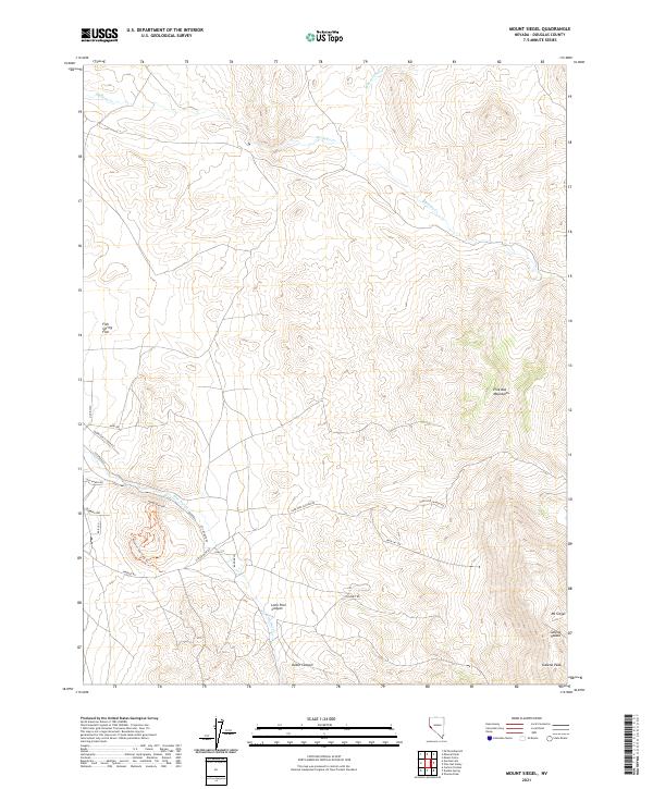 2021 Mount Siegel2021 Print · USGSThe high peaks of the Nevada desert are surveyed here in the early twenty-first century as the high-elevation ridges transition into open flats. Researchers can trace the rugged access roads leading to Mt Siegel and Galena Peak, or explore the rural network near Fish Spring Flat and the Pinyon Loop Trails Trl.
 - 2021 Map of Desert Creek Peak, 2021 Print
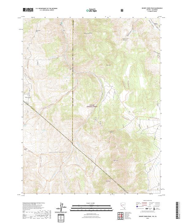 2021 Desert Creek Peak2021 Print · USGSThe high desert mountains along the Nevada and California border are mapped here in the early twenty-first century. Researchers can trace historic access paths like the Rickey Mine Route Trl and Coyote Creek Trl through the Sweetwater Mountains.
 - 2021 Map of Double Spring, 2021 Print
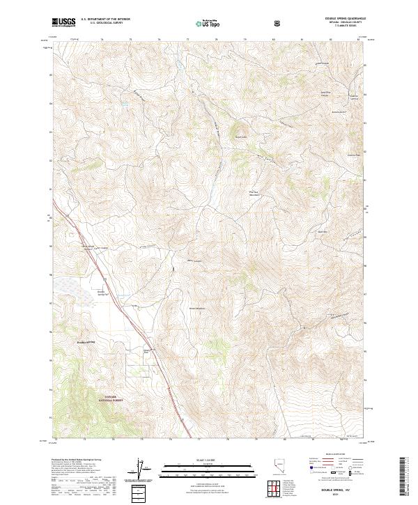 2021 Double Spring2021 Print · USGSHigh desert canyons and mountain peaks define this Douglas County landscape during the early twenty-first century. Researchers can trace the layout of Double Spring, locate isolated water sources like Buffalo Spring, and map the rugged terrain of the Pine Nut Mountains.
 - 2021 Map of Risue Canyon, 2021 Print
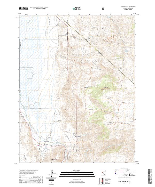 2021 Risue Canyon2021 Print · USGSThe Nevada-California borderlands are captured here in the early twenty-first century as they rise from the Antelope Valley into the Sweetwater Mountains. Researchers can trace the complex irrigation of Walker via the Highline Ditch or follow remote routes like Rickey Trl to Indian Spring.
 - 2021 Map of Minden, 2021 Print
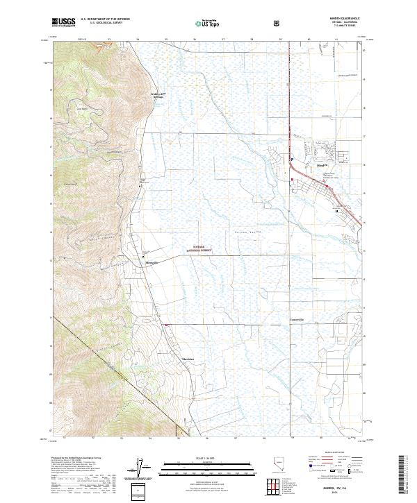 2021 Minden2021 Print · USGSThe Carson Valley is shown in great detail during the early 2020s, where high sierra peaks meet a vast network of irrigation ditches and sloughs. Genealogists and local historians can locate early burial sites like the Captain George Donner Cem and old settlements at Sheridan and Walleys Hot Springs.
 - 2021 Map of Long Dry Canyon, 2021 Print
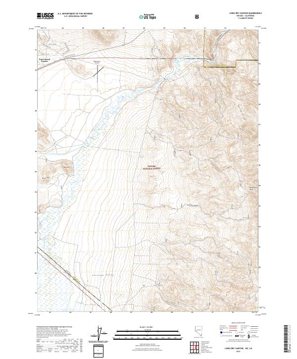 2021 Long Dry Canyon2021 Print · USGSDouglas County and the Nevada-California borderlands are documented here during the early twenty-first century as the high desert valley meets the mountains. Researchers can trace local water rights along the West Walker River and locate the Topaz Ranch Airport and Wellington Hills.
 - 2021 Map of Genoa, 2021 Print
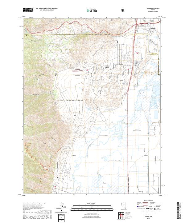 2021 Genoa2021 Print · USGSGenoa and the Carson Valley are captured in this modern survey during a period of ongoing suburban growth and conservation. Genealogists and historians can locate the historic Genoa Cem, trace the waters of Hobo Hot Springs, and explore the canyon drainages of Jacks Valley.
 - 2021 Map of Mount Como, 2021 Print
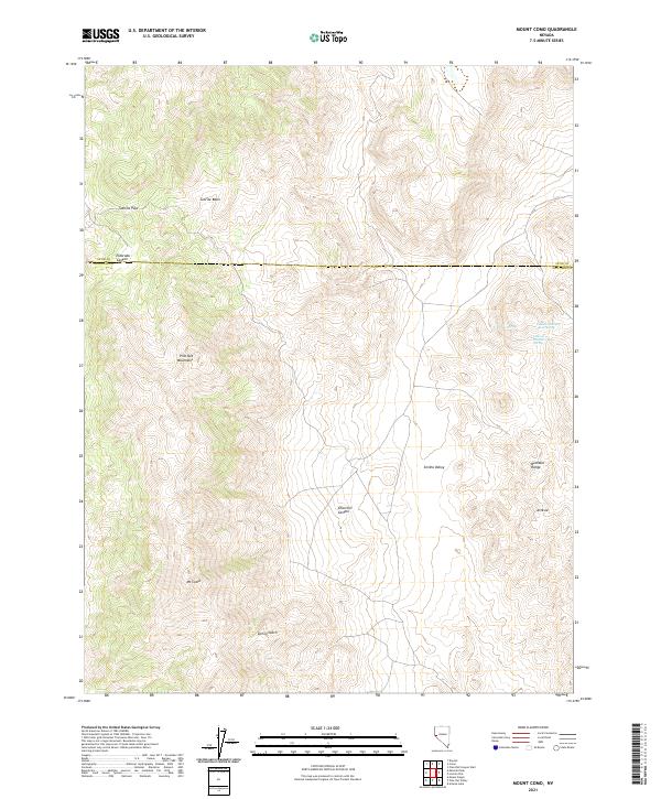 2021 Mount Como2021 Print · USGSThe high desert terrain of the Pine Nut Mountains is captured here in the early twenty-first century, showing the transition from peaks to valley floors. Researchers can trace the water sources essential to this region, from Willow Spring to the Fulstone Number Three Spring.
 - 2021 Map of Glenbrook, 2021 Print
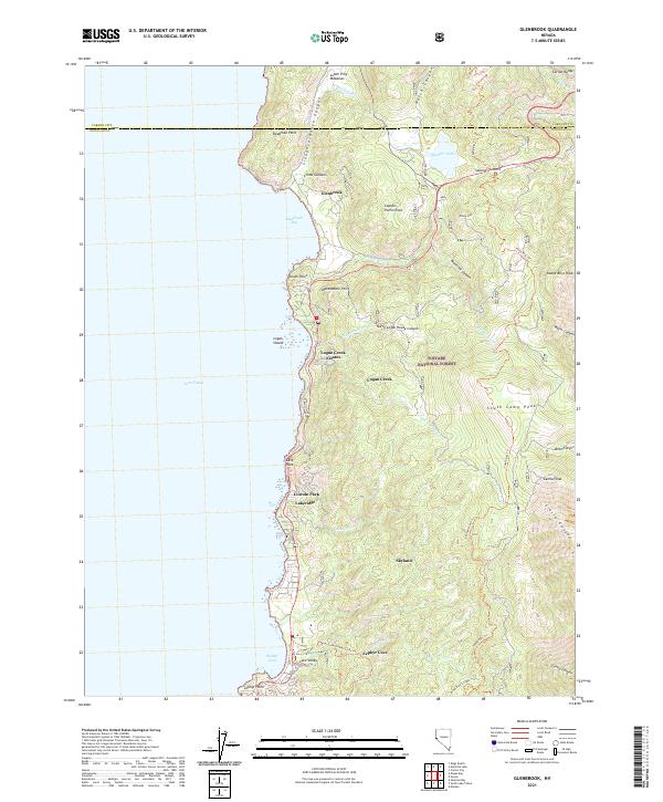 2021 Glenbrook2021 Print · USGSLake Tahoe's eastern shoreline in Douglas County comes into focus in this contemporary survey of the Sierra Nevada foothills. Researchers can trace the residential development of Logan Creek Estates and Skyland, or locate historic landmarks like Cave Rock and the Tahoe Rim Trl.
 - 2021 Map of Heenan Lake, 2021 Print
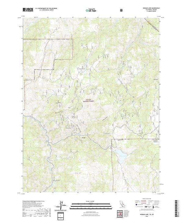 2021 Heenan Lake2021 Print · USGSHigh in the Sierra Nevada during the 2020s, this area shows a landscape of mountain flats and remote canyon watercourses. Researchers can locate specific sites like the settlement at Loope or explore high-country landmarks including Mogul Peak and Heenan Lake.
 - 2021 Map of Woodfords, 2021 Print
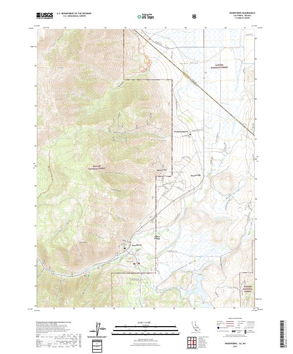 2021 Woodfords2021 Print · USGSThe eastern Sierra foothills and Carson Valley come alive in this survey. Genealogists and historians can trace family burial sites at Old Woodfords Cem and Washoe Cem or locate early settlements like Fredericksburg and Paynesville.
 - 2021 Map of Emerald Bay, 2021 Print
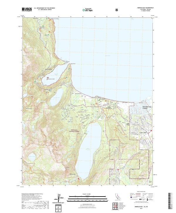 2021 Emerald Bay2021 Print · USGSThe Lake Tahoe shoreline and the Eldorado National Forest appear in fine detail during the early 2020s. Researchers can trace the development of Tahoe Keys and identify historic recreation spots like Camp Richardson and Glen Alpine Spring.
 - 2021 Map of South Lake Tahoe, 2021 Print
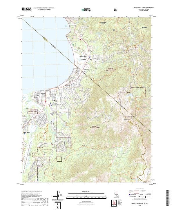 2021 South Lake Tahoe2021 Print · USGSThe high Sierras meet the developed shoreline of the South Shore in the 2020s, showing a landscape defined by tourism and wilderness. Researchers can trace the boundaries of Stateline and Bijou Park, find Happy Homestead Cem, or explore the trails around Monument Peak.
 - 2021 Map of Meeks Bay, 2021 Print
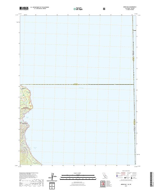 2021 Meeks Bay2021 Print · USGSThe western shores of Lake Tahoe are documented here in the early 2020s, showing the intersection of forest and settlement. Trace the lakefront enclaves of Tahoma, Meeks Bay, and Paradise Flat along the path of Emerald Bay Road.
End of results
Showing maps 1-24 of 24
Top cities of Douglas County
- Gardnerville Ranchos historical maps
- Johnson Lane historical maps
- Indian Hills historical maps
- Minden historical maps
- Kingsbury historical maps
- Topaz Ranch Estates historical maps
See more
Frequently asked questions
- What are the different types of historical maps available for Douglas County?
- What is the oldest map of Douglas County?
- Where can I purchase historical maps of Douglas County for my home or office?
- Where can I download high-res historical maps of Douglas County?
- Are there historical topographic maps available for Douglas County?
- Is there historical aerial imagery available for Douglas County?
- Where are historical maps of Douglas County sourced from?