Old Maps of White Sands, New Mexico for Hiking & Exploration
Hike through history with 30 historic maps of White Sands. Explore old trails, ghost towns, and forgotten backroads — perfect for outdoor adventurers and local explorers.
- Rediscover forgotten places: Map out old mining camps, roads, and footpaths that no longer exist on modern maps.
- Layer with modern tools: Combine with LiDAR or satellite views to plan hikes through historical terrain.
- Made for exploration: Popular among hikers, overlanders, and local history lovers.
Use these maps to find adventure and explore the hidden past of White Sands.
White Sands, NM maps
(30)- 1891 Map of Las Cruces
 1891 Las Cruces1891 Print · USGSThe Mesilla Valley and Organ Mountains are shown here during the late territorial era, when the railroad was transforming the region. Genealogists and historians can trace early settlements like Mesilla, Fort Selden, and the mining hub at Organ City.
 - 1893 Map of Las Cruces
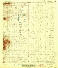
 1893 Las Cruces1893 Print · USGSSettlements along the Rio Grande flourished in the 1890s as the railroad arrived in Doña Ana County. Genealogists can trace family roots in Mesilla, Las Cruces, and Santa Tomaz, or locate the historic site of Fort Selden.4 unique versions available
 - 1941 Map of Organ Peak, 1961 Print
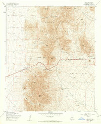
 1941 Organ Peak1961 Print · USGSDona Ana County was a land of high desert peaks and isolated ranching outposts in the early 1940s. Genealogists and historians can locate family-named landmarks like the Will F. Isaacs Ranch and Beasley Ranch, or trace the grounds of New Mexico State College.2 unique versions available
 - 1943 Map of Parker Lake
 1943 Parker Lake1943 Print · USGSThe Tularosa Valley and San Andres Mountains appear here in the early 1940s, revealing a landscape defined by desert ranching and essential water sources. Genealogists and researchers can trace the locations of the Hat Ranch, Globe Spring Ranch, and numerous historic water features like Parker Well.2 unique versions available
 - 1943 Map of Organ Peak
 1943 Organ Peak1943 Print · USGSDona Ana County is captured here in the early 1940s, showing the intersection of high desert ranching and the growth of the state college. Genealogists and historians can locate family holdings like Beasley Ranch, the settlement of Organ, and the Modoc Mine.2 unique versions available
 - 1948 Map of Davies Tank
 1948 Davies Tank1948 Print · USGSThe high desert of Doña Ana County appears here just after the war, showing the early infrastructure of the Fort Bliss Military Reservation. You can trace ranching history at Globe Spring Ranch or locate aviation landmarks like Condron Air Field.
 - 1952 Map of Parker Lake
 1952 Parker Lake1952 Print · USGSIn the mid-century New Mexico desert, military expansion and ranching heritage intersect within the Tularosa Basin. Researchers can trace early water management at Parker Lake and Old Bennett Tank or locate the historic Hall Ranch and White Sands settlement.
 - 1955 Map of Organ, 1962 Print
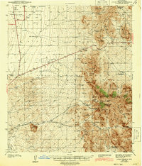
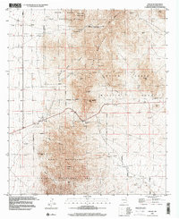
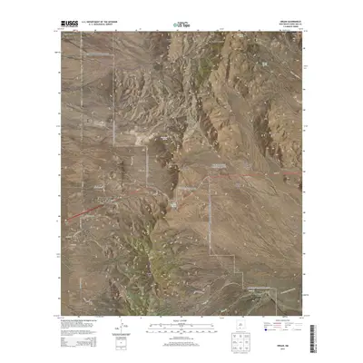
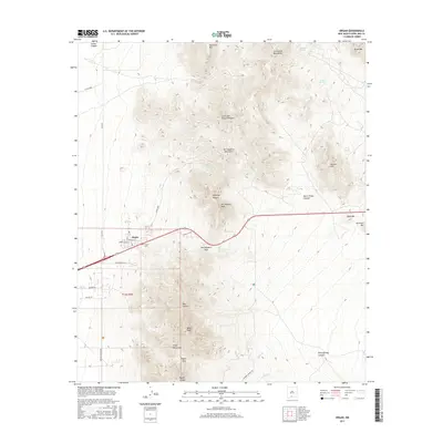
 1955 Organ1962 Print · USGSThe high desert landscape near Organ in the mid-fifties reveals a critical era of mining activity and military expansion. Genealogists and researchers can locate the Cem near Organ, or trace historic mining operations at the Empire Zinc Mine and Hilltop Mine.4 unique versions available
 - 1955 Map of Davies Tank, 1962 Print
 1955 Davies Tank1962 Print · USGSDona Ana County was a focal point of military expansion in the mid-fifties, dominated by defense reservations and arid basin landscapes. Researchers can trace the boundaries of the White Sands Proving Ground and locate desert landmarks like Condron Air Force Auxiliary Field or Davies Tank.3 unique versions available
 - 1955 Map of White Sands, 1962 Print
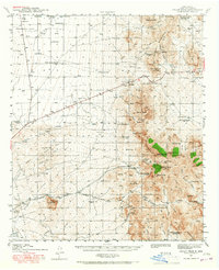
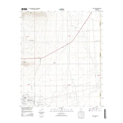
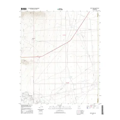
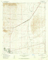 1955 White Sands1962 Print · USGSWhite Sands at the height of the mid-century Cold War reveals a landscape dedicated to military testing and desert survival. Researchers can trace the development of the White Sands Proving Ground and locate landmarks like Parker Station, the Bonney Spring Mine, and the unique Landing Strip in Road.2 unique versions available
 - 1955 Map of Las Cruces, 1963 Print
 1955 Las Cruces1963 Print · USGSSouthern New Mexico comes into focus during the mid-fifties, showing the growth of Las Cruces alongside major military and scientific installations. Genealogists and historians can trace the Southern Pacific tracks through small rail towns like Cambray and Afton, or locate family sites near Hatch and Deming.3 unique versions available
 - 1956 Map of Parker Lake
 1956 Parker Lake1956 Print · USGSThe Doña Ana desert comes alive in the mid-1950s as military infrastructure expanded across the foothills of Buck Mountain. Trace the early development of White Sands and remote sites like Hall Ranch or the Bonney Spring Mine.
 - 1958 Map of Las Cruces
 1958 Las Cruces1958 Print · USGSSouthern New Mexico in the late fifties was a landscape of rapid scientific and military growth centered on the Rio Grande. Local historians can trace the development of Las Cruces, the campus of New Mexico A and M College, and remote rail sidings like Aden Siding.
 - 1982 Map of Las Cruces
 1982 Las Cruces1982 Print · USGSThe Rio Grande valley and the Organ Mountains define this 1980s portrait of southern New Mexico's ranching and military landscape. Trace historic land divisions like the Brazito Grant alongside landmarks such as Santo Tomas and the Silver King Mine.
 - 1996 Map of Organ, 2002 Print
 1996 Organ2002 Print · USGSIn the New Mexico desert during the 1990s, this area shows the intersection of historic mining and modern aerospace research. Trace the legacy of old claims like the Silver King Mine and Empire Zinc Mine near the settlement of Organ.
 - 2010 Map of White Sands, 2010 Print
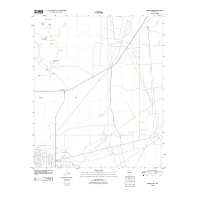 2010 White Sands2010 Print · USGSCovers White Sands, including Doña Ana County, Otero County, and other nearby areas
 - 2010 Map of Organ, 2010 Print
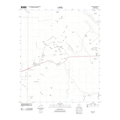 2010 Organ2010 Print · USGSCovers White Sands, including Organ, San Augustin Pass, and other nearby areas
 - 2010 Map of Davies Tank, 2010 Print
 2010 Davies Tank2010 Print · USGSCovers White Sands, including Doña Ana County, Otero County, and other nearby areas
 - 2013 Map of Organ, 2013 Print
 2013 Organ2013 Print · USGSCovers White Sands, including Organ, San Augustin Pass, and other nearby areas
 - 2013 Map of White Sands, 2013 Print
 2013 White Sands2013 Print · USGSCovers White Sands, including Doña Ana County, Otero County, and other nearby areas
 - 2013 Map of Davies Tank, 2013 Print
 2013 Davies Tank2013 Print · USGSCovers White Sands, including Doña Ana County, Otero County, and other nearby areas
 - 2017 Map of White Sands, 2017 Print
 2017 White Sands2017 Print · USGSCovers White Sands, including Doña Ana County, Otero County, and other nearby areas
 - 2017 Map of Organ, 2017 Print
 2017 Organ2017 Print · USGSCovers White Sands, including Organ, San Augustin Pass, and other nearby areas
 - 2017 Map of Davies Tank, 2017 Print
 2017 Davies Tank2017 Print · USGSCovers White Sands, including Doña Ana County, Otero County, and other nearby areas
 - 2020 Map of Davies Tank, 2020 Print
 2020 Davies Tank2020 Print · USGSCovers White Sands, including Doña Ana County, Otero County, and other nearby areas
Showing maps 1-25 of 30
Top cities near White Sands
Frequently asked questions
- What are the different types of historical maps available for White Sands?
- What is the oldest map of White Sands?
- Where can I purchase historical maps of White Sands for my home or office?
- Where can I download high-res historical maps of White Sands?
- Are there historical topographic maps available for White Sands?
- Is there historical aerial imagery available for White Sands?
- Where are historical maps of White Sands sourced from?