2000s (21st Century) Maps of Eddy County, New Mexico
Explore 398 historic maps of Eddy County from the 2000s (21st Century). These maps offer a rare glimpse into what life looked like during the 2000s — showing old roads, neighborhoods, homes, and landmarks that have changed or disappeared over time.
Whether you're researching your family's past, planning a metal detecting trip, or studying how Eddy County's landscape evolved across the 2000s, these high-resolution maps are a powerful tool for exploring the history of this region.
- Focus on a specific era: All maps on this page are from the 2000s, giving you a focused view of this time period.
- See what’s changed: Compare century-old streets, trails, and buildings to today's modern landscape using overlays and satellite layers.
- Research with precision: Use these maps for genealogy, historical research, land use analysis, or educational projects.
- View, download, or print: Maps are fully viewable online in high resolution, and can be downloaded or printed for your own records.
Start exploring Eddy County's history through authentic maps from the 2000s. This is your window into the past.
Eddy County, NM maps
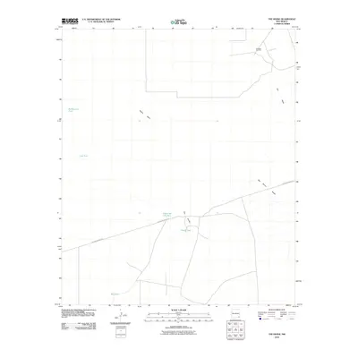
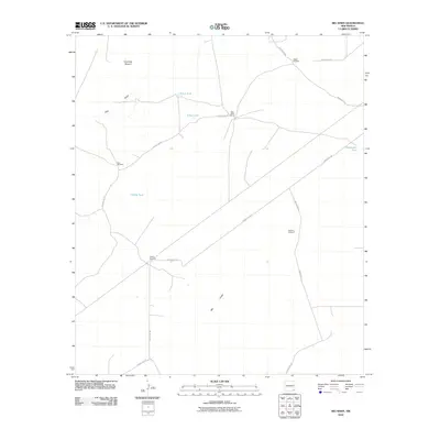
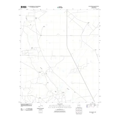
(398)- 2001 Map of Texas Hill, 2003 Print
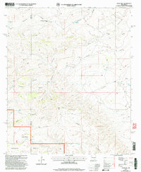 2001 Texas Hill2003 Print · USGSThe ranching and forest lands of Eddy County are captured here just after the turn of the millennium. Local history researchers can trace water sources and ranch sites like Armstrong and Armstrong Ranch, Box Shack Well, and Texas Hill Camp.
 - 2001 Map of Red Bluff Draw, 2003 Print
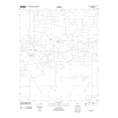
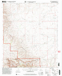 2001 Red Bluff Draw2003 Print · USGSThe high desert of New Mexico’s Eddy County is mapped here at the start of the millennium, showing a landscape defined by water and ranching. Researchers can locate named sites like the H Bar Y Ranch, trace the winding Last Chance Canyon, and find remote outposts such as Four Wells.
 - 2001 Map of Pickett Hill, 2003 Print
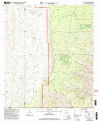
 2001 Pickett Hill2003 Print · USGSEddy and Otero Counties are captured here at the start of the new millennium, showing a landscape defined by ranching and national forest management. Researchers can locate remote water infrastructure and historic corrals like Middleton Well Storage Tank Corral, Thayer Well, and the Pickett Hill Communication Facility.
 - 2001 Map of El Paso Gap, 2003 Print
 2001 El Paso Gap2003 Print · USGSThe rugged New Mexico-Texas borderlands are mapped here at the turn of the millennium as federal forest and park lands meet at The Rim. Genealogists and historians can trace desert ranching life through Hughes Ranch, the Cem, and the El Paso Gap Ch.
 - 2001 Map of Gunsight Canyon, 2003 Print
 2001 Gunsight Canyon2003 Print · USGSThe high Chihuahuan desert borderlands are captured here at the start of the millennium, where ranching history meets protected wilderness. You can trace early water sources and backcountry routes like the Old Hepler Ranch, Agua Dulce Seep, and the Stairway Trail.
 - 2001 Map of Ares Peak, 2003 Print
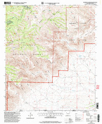
 2001 Ares Peak2003 Print · USGSEddy County ranching lands and National Forest territory are captured here at the turn of the millennium. Local history researchers can trace the water infrastructure and peaks that defined this landscape, from National Ranch and Ares Peak to the various watering sites like Montgomery Tank.
 - 2001 Map of Serpentine Bends, 2003 Print
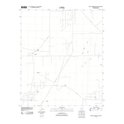
 2001 Serpentine Bends2003 Print · USGSEddy County’s high-desert canyons and national park lands are documented here at the turn of the millennium. Researchers can trace remote ranching outposts like X Bar Ranch and essential water sources such as Lechuguilla Spring and Dark Canyon Well.
 - 2001 Map of Queen, 2003 Print
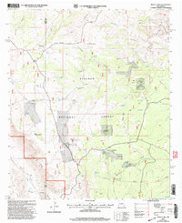
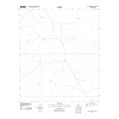
 2001 Queen2003 Print · USGSHigh-desert canyonlands in Eddy County were undergoing updated forest management at the turn of the century. Genealogists and historians can trace the settlement at Queen, the Queen Cem, and remote landmarks like Putman Cabin and Sitting Bull Falls.
 - 2010 Map of Tower Hill South, 2010 Print
 2010 Tower Hill South2010 Print · USGSCovers Eddy County, including United States, New Mexico, and other nearby areas
 - 2010 Map of Hackberry Lake, 2010 Print
 2010 Hackberry Lake2010 Print · USGSCovers Eddy County, including United States, New Mexico, and other nearby areas
 - 2010 Map of Livingston Ridge, 2010 Print
 2010 Livingston Ridge2010 Print · USGSCovers Eddy County, including United States, New Mexico, and other nearby areas
 - 2010 Map of The Divide, 2010 Print
 2010 The Divide2010 Print · USGSCovers Eddy County, including Lea County, United States, and other nearby areas
 - 2010 Map of Williams Sink, 2010 Print
 2010 Williams Sink2010 Print · USGSCovers Eddy County, including Lea County, United States, and other nearby areas
 - 2010 Map of Tower Hill North, 2010 Print
 2010 Tower Hill North2010 Print · USGSCovers Eddy County, including United States, New Mexico, and other nearby areas
 - 2010 Map of Maljamar, 2010 Print
 2010 Maljamar2010 Print · USGSCovers Eddy County, including Maljamar, Lea County, and other nearby areas
 - 2010 Map of Big Sinks, 2010 Print
 2010 Big Sinks2010 Print · USGSCovers Eddy County, including United States, New Mexico, and other nearby areas
 - 2010 Map of Laguna Gatuna, 2010 Print
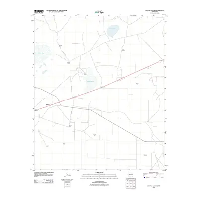 2010 Laguna Gatuna2010 Print · USGSCovers Eddy County, including Halfway, Lea County, and other nearby areas
 - 2010 Map of Henshaw Tank, 2010 Print
 2010 Henshaw Tank2010 Print · USGSCovers Eddy County, including Chaves County, United States, and other nearby areas
 - 2010 Map of Bootleg Ridge, 2010 Print
 2010 Bootleg Ridge2010 Print · USGSCovers Eddy County, including Lea County, United States, and other nearby areas
 - 2010 Map of Phantom Banks, 2010 Print
 2010 Phantom Banks2010 Print · USGSCovers Eddy County, including Loving County, United States, and other nearby areas
 - 2010 Map of Maljamar NE, 2010 Print
 2010 Maljamar NE2010 Print · USGSCovers Eddy County, including Lea County, Chaves County, and other nearby areas
 - 2010 Map of Loco Hills, 2010 Print
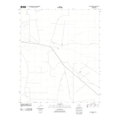
 2010 Loco Hills2010 Print · USGSCovers Eddy County, including Loco Hills, United States, and other nearby areas
 - 2010 Map of Paduca Breaks West, 2010 Print
 2010 Paduca Breaks West2010 Print · USGSCovers Eddy County, including Ross Place, Lea County, and other nearby areas
 - 2010 Map of Ross Ranch, 2010 Print
 2010 Ross Ranch2010 Print · USGSCovers Eddy County, including Reeves County, Loving County, and other nearby areas
 - 2010 Map of Los Medanos, 2010 Print
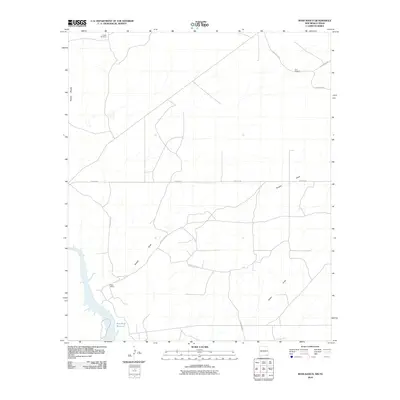
 2010 Los Medanos2010 Print · USGSCovers Eddy County, including United States, New Mexico, and other nearby areas
Showing maps 1-25 of 398
Top cities of Eddy County
- Carlsbad historical maps
- Artesia historical maps
- Loving historical maps
- Hope historical maps
- Whites City historical maps
Frequently asked questions
- What are the different types of historical maps available for Eddy County?
- What is the oldest map of Eddy County?
- Where can I purchase historical maps of Eddy County for my home or office?
- Where can I download high-res historical maps of Eddy County?
- Are there historical topographic maps available for Eddy County?
- Is there historical aerial imagery available for Eddy County?
- Where are historical maps of Eddy County sourced from?