2010s Maps of Eddy County, New Mexico
Explore 235 historic maps of Eddy County from the 2010s. These maps offer a rare glimpse into what life looked like during the 2010s — showing old roads, neighborhoods, homes, and landmarks that have changed or disappeared over time.
Whether you're researching your family's past, planning a metal detecting trip, or studying how Eddy County's landscape evolved across the 2010s, these high-resolution maps are a powerful tool for exploring the history of this region.
- Focus on a specific era: All maps on this page are from the 2010s, giving you a focused view of this time period.
- See what’s changed: Compare century-old streets, trails, and buildings to today's modern landscape using overlays and satellite layers.
- Research with precision: Use these maps for genealogy, historical research, land use analysis, or educational projects.
- View, download, or print: Maps are fully viewable online in high resolution, and can be downloaded or printed for your own records.
Start exploring Eddy County's history through authentic maps from the 2010s. This is your window into the past.
Eddy County, NM maps
(235)- 2010 Map of Tower Hill South, 2010 Print
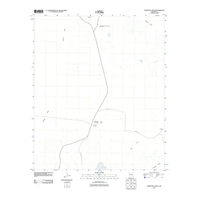 2010 Tower Hill South2010 Print · USGSEddy County mining and ranching operations are documented here in the early twenty-first century. Researchers can trace the layout of the Mississippi Chemical Corporation Potash Mine and old travel routes like the Cimarron Trl.
 - 2010 Map of Hackberry Lake, 2010 Print
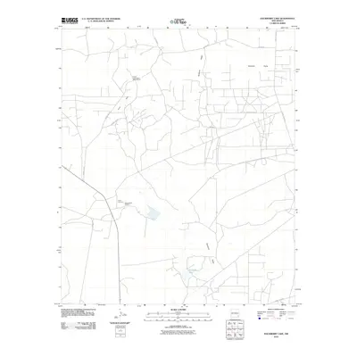 2010 Hackberry Lake2010 Print · USGSSoutheast New Mexico's potash mining corridor is documented here during a period of active industrial operation. Researchers can trace the layout of the Amax Potash Refinery, the Duval Corporation Wills-Weaver site, and the terrain of Nimenim Ridge.
 - 2010 Map of Livingston Ridge, 2010 Print
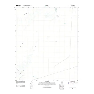 2010 Livingston Ridge2010 Print · USGSEddy County, New Mexico, is shown here as a landscape of industrial logistics and desert ranching during the early 2000s. Researchers can trace infrastructure along Wipp Rd or locate isolated water sources like Hill Tank and Noye Tank.
 - 2010 Map of The Divide, 2010 Print
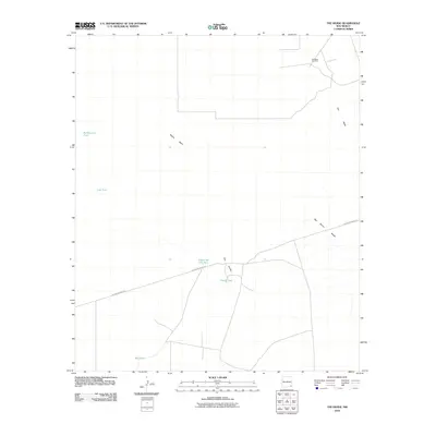 2010 The Divide2010 Print · USGSLea County's desert ranching and energy landscape is recorded here in the early twenty-first century. Researchers can trace the infrastructure of the Permian Basin from the Hat Mesa Gas Field to livestock water sources like Under the Hill Tank and Divide Tank.
 - 2010 Map of Williams Sink, 2010 Print
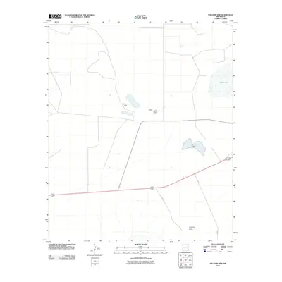 2010 Williams Sink2010 Print · USGSLea County's industrial potash corridor is captured in the early twenty-first century, showing the intersection of mining and specialized infrastructure. Researchers can trace the layout of the National Potash Mine and the Hobbs Potash Facility Refinery near Laguna Plata.
 - 2010 Map of Tower Hill North, 2010 Print
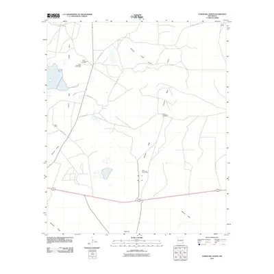 2010 Tower Hill North2010 Print · USGSThe potash-rich basins of Eddy County are captured here in the early 2000s, showcasing a landscape of high-desert mining and isolated ranching outposts. Researchers can locate the expansive Potash Company of America Mine or trace the remote reaches of Lusk Ranch and Maroon Cliffs.
 - 2010 Map of Maljamar, 2010 Print
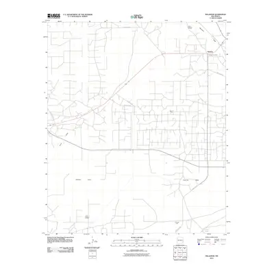 2010 Maljamar2010 Print · USGSIn the heart of the New Mexico oil patch during the early twenty-first century, this map shows a landscape defined by industrial energy production. Genealogists and historians can trace the roads around Maljamar or locate specific sites like the Baish Oil Field and the Maljamar Post Office.
 - 2010 Map of Big Sinks, 2010 Print
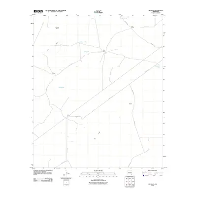 2010 Big Sinks2010 Print · USGSEddy County ranching country is captured here during the early twenty-first century, showing the essential water infrastructure of the high desert. Researchers can locate remote outposts like Twin Wells Ranch and trace the network of landmarks including Eagles Windmill and Big Sinks.
 - 2010 Map of Laguna Gatuna, 2010 Print
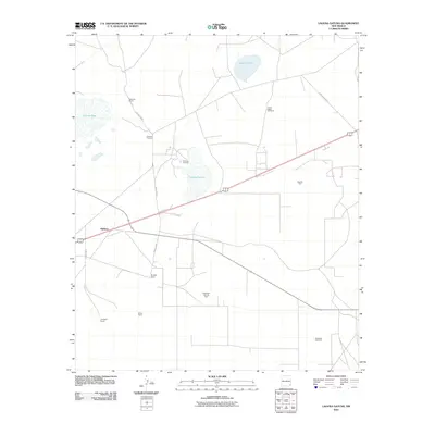 2010 Laguna Gatuna2010 Print · USGSLea County's high desert landscape appears here during a period of active ranching and energy production. Researchers can trace family-run operations like Campbell Ranch and Bingham Ranch or locate industrial sites such as the Salt Lake Oil Field.
 - 2010 Map of Henshaw Tank, 2010 Print
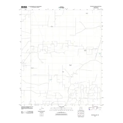 2010 Henshaw Tank2010 Print · USGSChaves County's energy landscape is captured here in the early twenty-first century as oil production shaped the high desert. Trace the industrial footprint of the Cedar Point Oil Field and the vital water locations of Henshaw Tank and Bogle Tank.
 - 2010 Map of Bootleg Ridge, 2010 Print
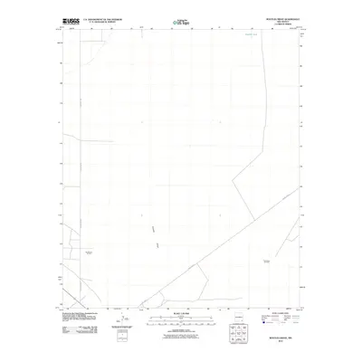 2010 Bootleg Ridge2010 Print · USGSLea County's high desert landscape is shown here in the early twenty-first century, dominated by the energy industry and isolated ranching infrastructure. Trace the reach of the Sand Dunes Oil Field and Triste Draw Oil Field along the desert tracks of County Rd-31.
 - 2010 Map of Phantom Banks, 2010 Print
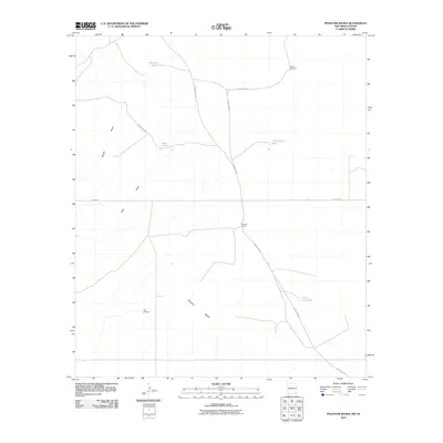 2010 Phantom Banks2010 Print · USGSEddy County, New Mexico, and the Texas borderlands are captured here in the early twenty-first century as a landscape of remote ranching and essential water infrastructure. Trace the locations of isolated landmarks like Steeple Ranch and essential windmills such as Target Windmill and Gyp Windmill.
 - 2010 Map of Maljamar NE, 2010 Print
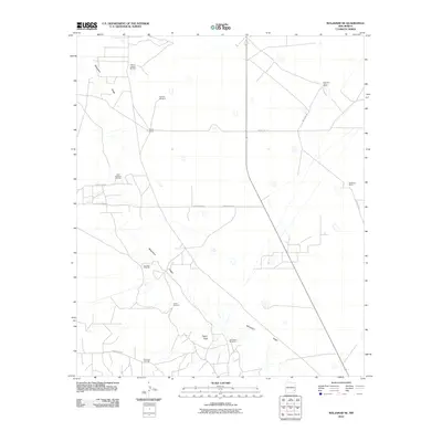 2010 Maljamar NE2010 Print · USGSLea County's high desert landscape is documented here during the early twenty-first century, showing a region shaped by energy and cattle. Researchers can trace historical property lines and infrastructure through Bond Ranch, Taylor Peak, and the South Caprock Oil Field.
 - 2010 Map of Loco Hills, 2010 Print
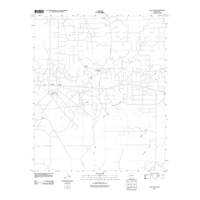 2010 Loco Hills2010 Print · USGSThe oil-rich Permian Basin comes into sharp focus during this era of intensive extraction in Eddy County. Researchers can trace industrial sites like the Greyburg Jackson Oil Field alongside local landmarks like Booker Camp and the Loco Hills Post Office.
 - 2010 Map of Paduca Breaks West, 2010 Print
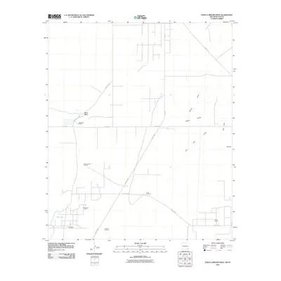 2010 Paduca Breaks West2010 Print · USGSEddy County, New Mexico, at the turn of the millennium shows a landscape defined by ranching outposts and active oil fields. Researchers can locate remote landmarks like Battle-axe Ranch, Ross Place, and the namesake Paduca Breaks.
 - 2010 Map of Ross Ranch, 2010 Print
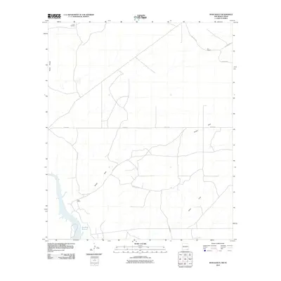 2010 Ross Ranch2010 Print · USGSEddy County ranchlands are documented here in the early twenty-first century as they border the Texas line. Local researchers can trace old ranching infrastructure and drainage features like Ross Ranch, Pickett Windmill, and Brushy Draw.
 - 2010 Map of Los Medanos, 2010 Print
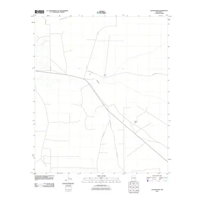 2010 Los Medanos2010 Print · USGSThe arid ranchlands of Eddy County appear in the early 21st century as a landscape of isolated outposts and industrial corridors. Researchers can trace the intersection of ranching and potash mining via James Ranch, the Hecla-Day Potash Lease, and Wipp Rd.
 - 2010 Map of Paduca Breaks NW, 2010 Print
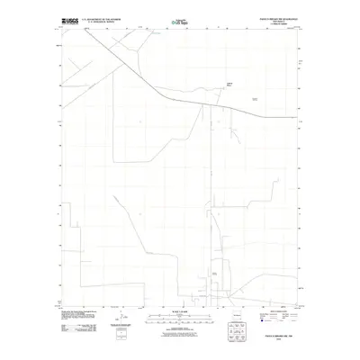 2010 Paduca Breaks NW2010 Print · USGSLea County's high desert landscape is shown during a period of sustained energy production in the early twenty-first century. Researchers can trace the industrial footprint of the Double X Oil Field and Paduca Oil Field alongside remote outposts like Cotton Place.
 - 2010 Map of Remuda Basin, 2010 Print
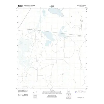 2010 Remuda Basin2010 Print · USGSSoutheastern New Mexico's potash mining country is revealed here at the start of the decade, showing the industrial roads and geological basins of Eddy County. Researchers can locate the Duval Mine and Nash Draw Mine situated near the prominent Livingston Ridge.
 - 2010 Map of Greenwood Lake, 2010 Print
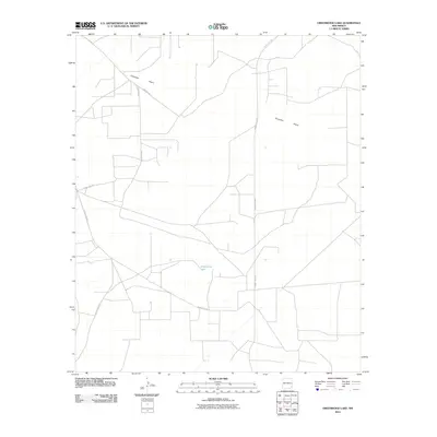 2010 Greenwood Lake2010 Print · USGSThe high desert of Lea County in the early twenty-first century is defined by the vast Querecho Plains and remote water basins. Trace the rural road network connecting Greenwood Lake to routes like Westall Rd and County Rd 249.
 - 2010 Map of Pierce Canyon, 2010 Print
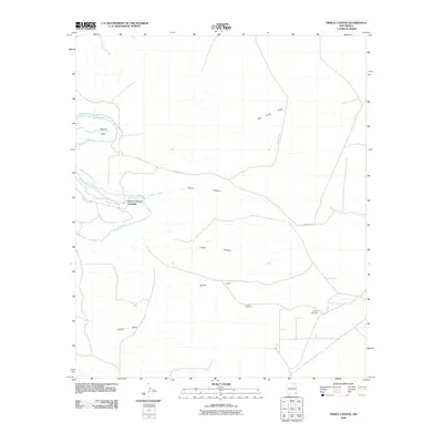 2010 Pierce Canyon2010 Print · USGSThe Pecos River valley south of Carlsbad appears here in the early twenty-first century, showing a landscape shaped by water and ranching. You can trace the path of the Livingston Canal and locate remote landmarks like Pierce Canyon Crossing or the Tomcat Windmill.
 - 2010 Map of Lake McMillan North, 2010 Print
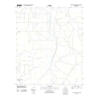 2010 Lake McMillan North2010 Print · USGSSoutheast New Mexico in the early twenty-first century reveals a landscape defined by the Pecos River and rural ranching life. Genealogists and historians can locate the Old Lakewood Cemetery, the Lakewood Post Office, and family landmarks like the Lewis Ranch.
 - 2010 Map of Dayton, 2010 Print
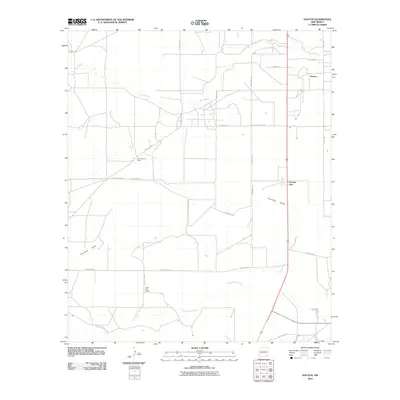 2010 Dayton2010 Print · USGSEddy County ranching country and the community of Dayton are captured here in the early 2000s. Researchers can trace historic property boundaries and rural lifeways through landmarks like One Hundred Ranch, Frontier Post, and the winding Rio Peñasco.
 - 2010 Map of Diamond Mound, 2010 Print
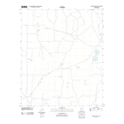 2010 Diamond Mound2010 Print · USGSChaves County ranchlands are documented here during the early twenty-first century, showing a remote landscape of desert basins and mesas. Researchers can trace land use at Merritt Ranch or locate ephemeral water sources like Henderson Lake and Cave Lake.
 - 2010 Map of Holt Tank, 2010 Print
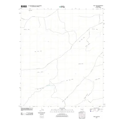 2010 Holt Tank2010 Print · USGSSoutheast New Mexico at the start of the decade reveals a landscape shaped by water and ranching. Genealogists and researchers can trace local routes like Russell Gap Rd and Armstrong Rd or locate landmarks such as Holt Tank and Bullis Canyon.
Showing maps 1-25 of 235
Top cities of Eddy County
- Carlsbad historical maps
- Artesia historical maps
- Loving historical maps
- Hope historical maps
- Whites City historical maps
Frequently asked questions
- What are the different types of historical maps available for Eddy County?
- What is the oldest map of Eddy County?
- Where can I purchase historical maps of Eddy County for my home or office?
- Where can I download high-res historical maps of Eddy County?
- Are there historical topographic maps available for Eddy County?
- Is there historical aerial imagery available for Eddy County?
- Where are historical maps of Eddy County sourced from?