2020s Maps of Eddy County, New Mexico
Explore 155 historic maps of Eddy County from the 2020s. These maps offer a rare glimpse into what life looked like during the 2020s — showing old roads, neighborhoods, homes, and landmarks that have changed or disappeared over time.
Whether you're researching your family's past, planning a metal detecting trip, or studying how Eddy County's landscape evolved across the 2020s, these high-resolution maps are a powerful tool for exploring the history of this region.
- Focus on a specific era: All maps on this page are from the 2020s, giving you a focused view of this time period.
- See what’s changed: Compare century-old streets, trails, and buildings to today's modern landscape using overlays and satellite layers.
- Research with precision: Use these maps for genealogy, historical research, land use analysis, or educational projects.
- View, download, or print: Maps are fully viewable online in high resolution, and can be downloaded or printed for your own records.
Start exploring Eddy County's history through authentic maps from the 2020s. This is your window into the past.
Eddy County, NM maps
(155)- 2020 Map of Tower Hill North, 2020 Print
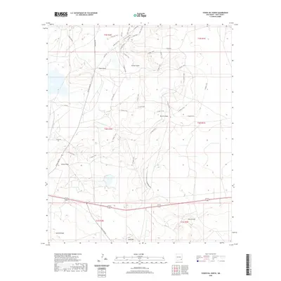 2020 Tower Hill North2020 Print · USGSEddy County’s industrial and recreational landscape is captured here in the early twenty-first century, showing the intersection of mining infrastructure and arid terrain. Researchers can trace the path of Potash Mines Rd or explore landforms like Maroon Cliffs and Gatuna Canyon.
 - 2020 Map of Henshaw Tank, 2020 Print
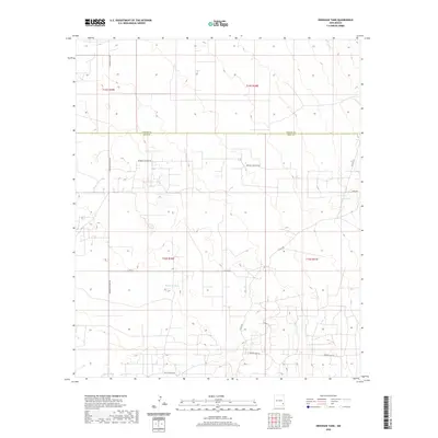 2020 Henshaw Tank2020 Print · USGSThe ranching country of the Chaves and Eddy county border is shown here as it appeared in 2020. Local researchers can trace family-named routes and water sources like Booger Langton Rd, Goat Ropers Rd, and Henshaw Tank.
 - 2020 Map of The Divide, 2020 Print
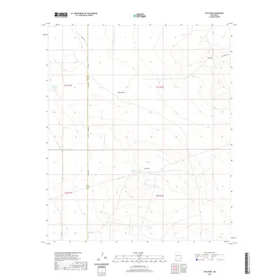 2020 The Divide2020 Print · USGSLea County's high desert landscape is recorded here in the early twenty-first century, showing the critical water infrastructure of the region. Researchers can trace the placement of vital livestock water sources like Rockbottom Tank and Lost Tank near the prominent ridge of The Divide.
 - 2020 Map of Dayton, 2020 Print
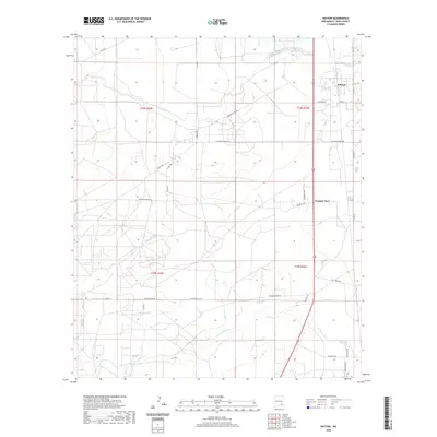 2020 Dayton2020 Print · USGSDayton and the surrounding Eddy County ranch lands are documented here in the early twenty-first century. Researchers can trace local property access and water rights along the Rio Peñasco or identify family holdings near Frontier Post and Kincaid Ranch Rd.
 - 2020 Map of Loco Hills, 2020 Print
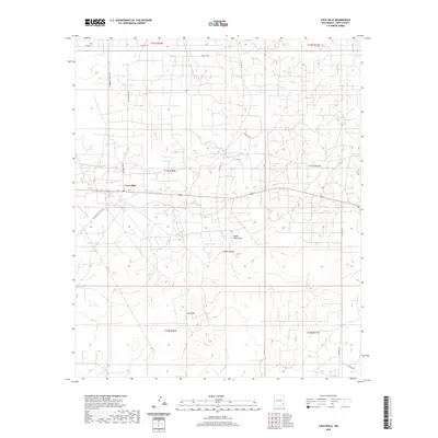 2020 Loco Hills2020 Print · USGSLoco Hills and the surrounding Eddy County oil fields are captured here in the early twenty-first century. Researchers can trace the intersection of ranching and energy roads like Goat Ropers Rd and Skelly Rd near the waters of Cedar Lake.
 - 2020 Map of Basin Well, 2020 Print
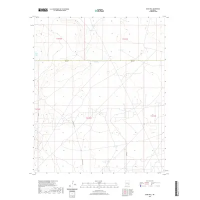 2020 Basin Well2020 Print · USGSThe Chaves and Eddy county line area comes into focus in this recent survey of the New Mexico high desert. Researchers can locate remote water sources and catchments like Nakee Ishee Lake, Double Wells Tank, and the winding Barnaval Draw.
 - 2020 Map of Spring Lake, 2020 Print
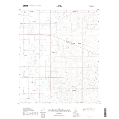 2020 Spring Lake2020 Print · USGSThe eastern outskirts of Artesia and the Pecos River valley are captured here in the early twenty-first century. Researchers can trace the local landscape from Spring Lake and Riverside to the seasonal drainage of Dog Canyon Draw and Tumbleweed Draw.
 - 2020 Map of Otis, 2020 Print
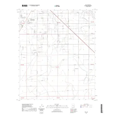 2020 Otis2020 Print · USGSThe outskirts of Carlsbad and the community of Otis are captured here in the early twenty-first century as suburban growth meets desert agriculture. Researchers can trace land tracts and local landmarks along the Pecos River, Southern Canal, and Old Cavern Hwy.
 - 2020 Map of Texas Hill, 2020 Print
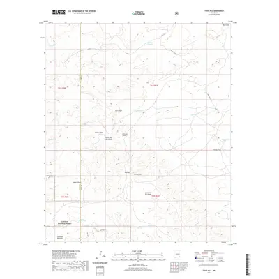 2020 Texas Hill2020 Print · USGSThe high desert landscape of the New Mexico borderlands is captured here in the years following the millennium. Genealogists and land researchers can locate cattle tanks and remote waterholes like Segrest Waterhole and Acrey Lake near the Guadalupe Mountains.
 - 2020 Map of Artesia NE, 2020 Print
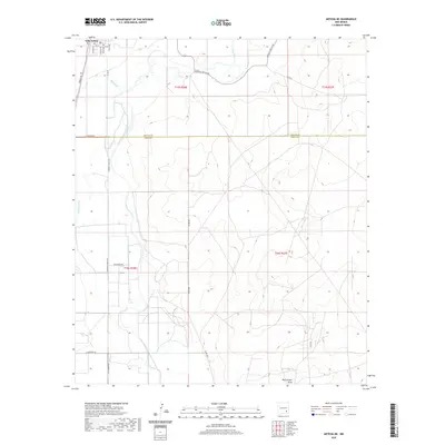 2020 Artesia NE2020 Print · USGSThe town of Lake Arthur and the Pecos Valley are captured here in the early twenty-first century. Researchers can trace the river's course and the rural road network including Buffalo Valley Rd and Lawrence Ranch Rd across the Chaves and Eddy county line.
 - 2020 Map of Hope NE, 2020 Print
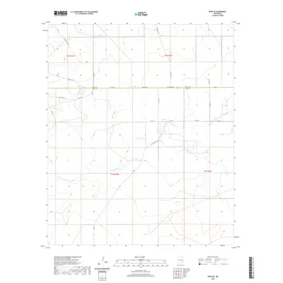 2020 Hope NE2020 Print · USGSSoutheastern New Mexico’s ranching country is captured here as the new decade began, showing the convergence of the forks of Cottonwood Creek. Researchers can trace land divisions and local routes like W Bittersweet Rd, Indianapolis Rd, and Ogallalla Rd.
 - 2020 Map of Red Lake SE, 2020 Print
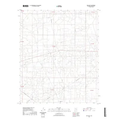 2020 Red Lake SE2020 Print · USGSEddy County’s high desert landscape is shown here in the modern era, crisscrossed by a dense network of ranch and energy roads. Researchers can trace historical routes and local access ways like Hagerman Cutoff Rd, Cowtown Rd, and Bear Grass Draw.
 - 2020 Map of Livingston Ridge, 2020 Print
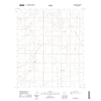 2020 Livingston Ridge2020 Print · USGSEddy County’s high desert landscape is shown here in the 2020s, a region defined by its unique geology and industrial importance. Researchers can trace the path of Doe Wipp Acc through the Nash Draw or locate livestock watering points like New Tank.
 - 2020 Map of Malaga, 2020 Print
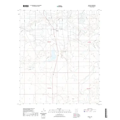 2020 Malaga2020 Print · USGSThe community of Malaga is captured here in the early twenty-first century, centered between the desert draws and the winding Pecos River. Genealogists and researchers can locate Lookout Cem and trace the complex irrigation of Harroun Ditch and Willow Lake.
 - 2020 Map of Paduca Breaks NW, 2020 Print
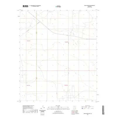 2020 Paduca Breaks NW2020 Print · USGSSoutheast New Mexico at the edge of the Llano Estacado shows a landscape organized by section lines and remote ranch roads. Researchers can trace the sparse rural infrastructure along the county line, from Jack Tank to the junctions of Buck Johnson Rd and Orla Rd.
 - 2020 Map of Angel Draw, 2020 Print
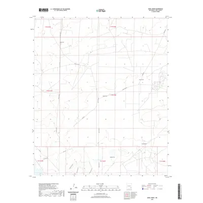 2020 Angel Draw2020 Print · USGSEddy County ranching lands and desert basins are mapped here as they appeared in 2020. Local researchers can trace the paths of Angel Ranch Rd and Illinois Camp Rd through landmarks like Indian Hill and the basin of Alkali Lake.
 - 2020 Map of Greenwood Lake, 2020 Print
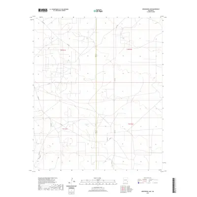 2020 Greenwood Lake2020 Print · USGSThe high desert of Southeast New Mexico is captured here in the years following the modern oil boom. Researchers can trace land divisions and desert access routes like Shugart Rd, Lusk Rd, and the area around Greenwood Lake.
 - 2020 Map of Jumping Spring, 2020 Print
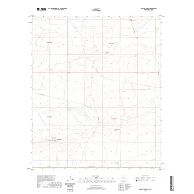 2020 Jumping Spring2020 Print · USGSEddy County, New Mexico, is mapped here in the modern era, showing a high desert landscape defined by essential water sources. Genealogists and local historians can trace named landmarks such as Washington Spring, Ben Slaughter Spring, and the winding Owl Draw.
 - 2020 Map of Pierce Canyon, 2020 Print
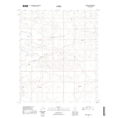 2020 Pierce Canyon2020 Print · USGSEddy County’s river valley and desert draws are captured here in the contemporary era, highlighting the vital role of water in the New Mexico landscape. Researchers can trace the path of the Pecos River and historic irrigation routes like the Harroun Canal and Livingston Canal.
 - 2020 Map of Indian Flats, 2020 Print
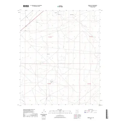 2020 Indian Flats2020 Print · USGSEddy County, New Mexico, is depicted in the modern era as a landscape of arid flats and essential infrastructure. Researchers can trace the path of Old Indian Draw and locate local landmarks such as Sand Point and Quahada Ridge.
 - 2020 Map of Ross Ranch, 2020 Print
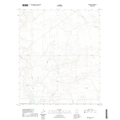 2020 Ross Ranch2020 Print · USGSEddy County ranch lands and energy corridors are captured in this modern survey of the New Mexico borderlands. Researchers can trace land use patterns and utility infrastructure via Ross Ranch, Brushy Draw, and Pipeline Rd.
 - 2020 Map of Red Bluff, 2020 Print
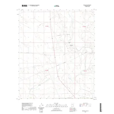 2020 Red Bluff2020 Print · USGSSoutheast New Mexico in the modern era continues to be defined by its major water arteries and remote ranching outposts. Researchers can trace the paths of the Pecos River and Delaware River alongside local landmarks like Red Bluff and Mule Tank.
 - 2020 Map of Bootleg Ridge, 2020 Print
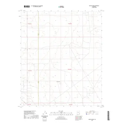 2020 Bootleg Ridge2020 Print · USGSSoutheastern New Mexico's high desert landscape is documented here just as modern infrastructure reached this corner of the state. Researchers can trace the Eddy Co and Lea Co border across the terrain, identifying landmarks like Bootleg Ridge and Hayfield Tank.
 - 2020 Map of Sixteenmile Draw East, 2020 Print
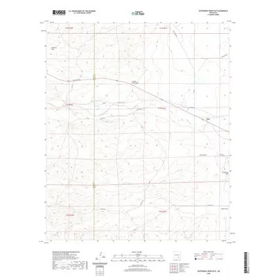 2020 Sixteenmile Draw East2020 Print · USGSThe village of Hope and the surrounding rangelands along the Chaves-Eddy county line are captured in this contemporary study. Researchers can trace rural cemetery locations such as Hope West Cem and named desert drainages like Catclaw Draw.
 - 2020 Map of Remuda Basin, 2020 Print
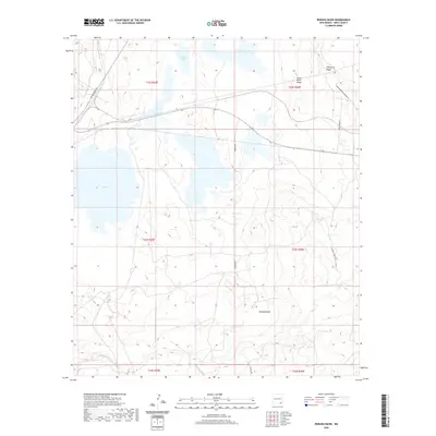 2020 Remuda Basin2020 Print · USGSEddy County ranching and mining lands are captured here in the early twenty-first century, showing a landscape defined by desert basins and industrial access. Researchers can trace the routes of Potash Mines Rd and Mobley Ranch Rd past landmarks like Salt Lake.
Showing maps 1-25 of 155
Top cities of Eddy County
- Carlsbad historical maps
- Artesia historical maps
- Loving historical maps
- Hope historical maps
- Whites City historical maps
Frequently asked questions
- What are the different types of historical maps available for Eddy County?
- What is the oldest map of Eddy County?
- Where can I purchase historical maps of Eddy County for my home or office?
- Where can I download high-res historical maps of Eddy County?
- Are there historical topographic maps available for Eddy County?
- Is there historical aerial imagery available for Eddy County?
- Where are historical maps of Eddy County sourced from?