2020s Maps of Valencia County, New Mexico
Explore 58 historic maps of Valencia County from the 2020s. These maps offer a rare glimpse into what life looked like during the 2020s — showing old roads, neighborhoods, homes, and landmarks that have changed or disappeared over time.
Whether you're researching your family's past, planning a metal detecting trip, or studying how Valencia County's landscape evolved across the 2020s, these high-resolution maps are a powerful tool for exploring the history of this region.
- Focus on a specific era: All maps on this page are from the 2020s, giving you a focused view of this time period.
- See what’s changed: Compare century-old streets, trails, and buildings to today's modern landscape using overlays and satellite layers.
- Research with precision: Use these maps for genealogy, historical research, land use analysis, or educational projects.
- View, download, or print: Maps are fully viewable online in high resolution, and can be downloaded or printed for your own records.
Start exploring Valencia County's history through authentic maps from the 2020s. This is your window into the past.
Valencia County, NM maps
(58)- 2020 Map of Mount Washington, 2020 Print
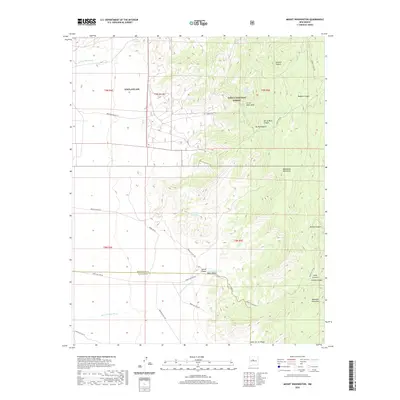 2020 Mount Washington2020 Print · USGSHigh desert peaks and restricted military grounds meet south of Albuquerque in this modern survey. Researchers can trace land boundaries at Kirtland Afb or locate remote landmarks like Sol se Mete Spring and the summit of Mt Washington.
 - 2020 Map of Tome NE, 2020 Print
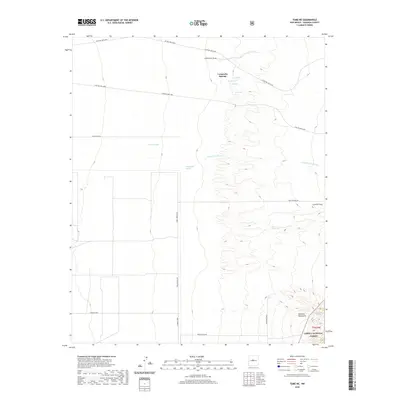 2020 Tome NE2020 Print · USGSValencia County at the turn of the decade is shown here as a landscape of desert springs and upland forest edges. Researchers can trace the drainage patterns of Arroyo del Cuervo and locate isolated water sources such as Los Ojuelos and Bessendo Spring.
 - 2020 Map of Belen, 2020 Print
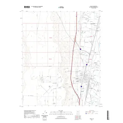 2020 Belen2020 Print · USGSThe Rio Grande valley near Belen comes into sharp focus in the early twenty-first century, showing a landscape defined by riverside settlements and desert mesas. Family historians can trace local roots through Our Lady of Belen Memorial Gardens Cem or explore the footprints of Los Trujillos and Sausal.
 - 2020 Map of Tome SE, 2020 Print
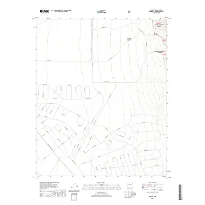 2020 Tome SE2020 Print · USGSValencia County at the start of the 2020s shows a unique juxtaposition of modern residential planning and protected wilderness. Researchers can trace the development of vast road loops like Guadal Loop as they push toward the Cibola National Forest and the Manzano Mountains.
 - 2020 Map of Capilla Peak, 2020 Print
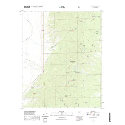 2020 Capilla Peak2020 Print · USGSThe Manzano Mountains are shown in detail during this recent period of forest management and backcountry access. Hikers and historians can trace the steep ridgeline along Manzano Crest, identifying remote water sources like Whisky Spring and Ojo Chiquito.
 - 2020 Map of Belen NW, 2020 Print
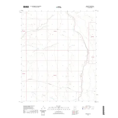 2020 Belen NW2020 Print · USGSThe high desert terrain of Valencia County in the late twenty-teens is defined here by the winding Rio Puerco and its complex drainage networks. Researchers can trace the path of Marble Quarry Rd or locate catchments like Metate Reservoir and Guzman Reservoir.
 - 2020 Map of Dalies, 2020 Print
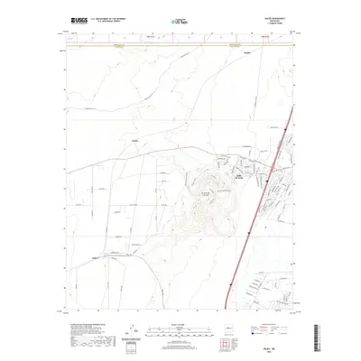 2020 Dalies2020 Print · USGSLos Lunas and the surrounding desert landscape are captured here as residential growth meets the rugged volcanic slopes of El Cerro De Los Lunas. Researchers can trace the development of modern neighborhoods like Huning Ranch Dr alongside older outposts like Dalies and Paquita.
 - 2020 Map of Manzano Peak, 2020 Print
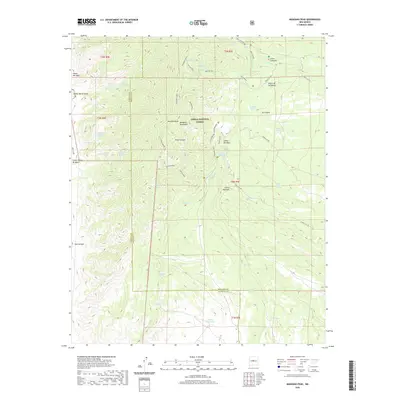 2020 Manzano Peak2020 Print · USGSThe Manzano Mountains of Torrance and Valencia Counties are shown here in the 2020s, a landscape defined by high ridges and vital springs. Researchers can trace historic access routes like Kayser Mill and locate water sources such as Rattlesnake Spring and Ojo Barreras.
 - 2020 Map of Becker, 2020 Print
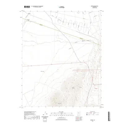 2020 Becker2020 Print · USGSBecker and the surrounding high desert terrain are captured here in the contemporary era, showing where modern residential grids meet the wild Los Pinos Mountains. Map collectors and locals can trace the paths of Abo Arroyo, locate Blue Spring, and find the remote Burris Ranch Number 1 Airport.
 - 2020 Map of Veguita, 2020 Print
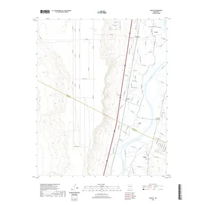 2020 Veguita2020 Print · USGSThe Rio Grande valley south of Belen comes into focus in this recent study of the New Mexico heartland. Researchers can trace family-named routes and local landmarks from Jarales down to Veguita, including the Veguita Cem and Bosque.
 - 2020 Map of Isleta, 2020 Print
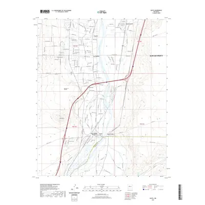 2020 Isleta2020 Print · USGSSouth of Albuquerque in the early 2020s, the Rio Grande valley maintains its deep cultural roots through the lands of Isleta Pueblo. Genealogists and historians can trace cemetery locations including Isleta Cem and Los Padillas Cem alongside the historic Isleta Village Proper.
 - 2020 Map of Hubbell Spring, 2020 Print
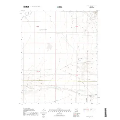 2020 Hubbell Spring2020 Print · USGSAlbuquerque’s southeastern limits meet the desert landscape in the 2020s, showing the intersection of urban growth and tribal lands. Researchers can trace historical water sources like Hubbell Spring and Ojo de la Cabra along the Hells Canyon Wash.
 - 2020 Map of Black Butte, 2020 Print
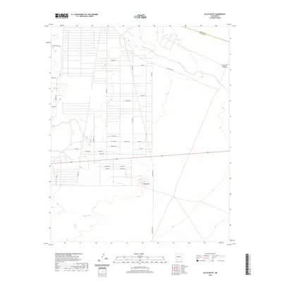 2020 Black Butte2020 Print · USGSSocorro County at the start of the 2020s shows a unique intersection of high-desert terrain and extensive residential street planning. Genealogists and local historians can trace family-named routes like Carlos Martinez Rd and Chavez Rd near the landmark Black Butte.
 - 2020 Map of Tome, 2020 Print
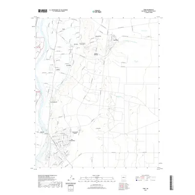 2020 Tome2020 Print · USGSValencia County communities east of the river are captured here during a period of modern expansion. Genealogists and local researchers can trace family lands near Tome, identify the Tome Cem, or explore the growth of Rio Communities and Adelino.
 - 2020 Map of Rio Puerco, 2020 Print
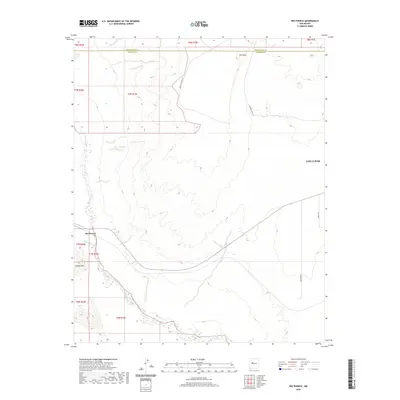 2020 Rio Puerco2020 Print · USGSThe high desert west of the Rio Grande comes into focus in this contemporary survey of the Valencia County plateau. Researchers can trace the winding course of the Rio Puerco and identify landmarks like Cat Mesa, Hidden Mtn, and Indian Svc Rte 610.
 - 2020 Map of Belen SW, 2020 Print
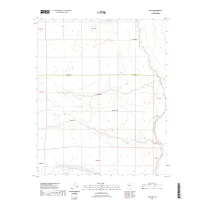 2020 Belen SW2020 Print · USGSValencia and Socorro counties meet in this arid landscape as it appeared in recent years. Researchers can trace the winding course of the Rio Puerco and locate topographical features like Montano Flats and Arroyo Comanche.
 - 2020 Map of Los Lunas SE, 2020 Print
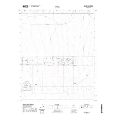 2020 Los Lunas SE2020 Print · USGSThe high desert of Valencia County comes into focus in the years following the millennium, centered on the growing residential grid of Meadow Lake. Researchers can trace local development through street names like El Cerro Mission Blvd and locate landmarks like the Manzano Mountain Air Ranch.
 - 2020 Map of Scholle, 2020 Print
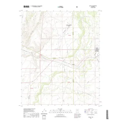 2020 Scholle2020 Print · USGSScholle and the surrounding canyons come into focus in this recent survey of the New Mexico high desert. Researchers can trace the boundaries of the Salinas Pueblo Missions National Monument and locate water sources like Saladito Springs and Spencer Spring.
 - 2020 Map of Casa Colorada, 2020 Print
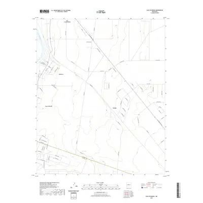 2020 Casa Colorada2020 Print · USGSThe Middle Rio Grande Valley in the 2020s shows a unique blend of river-bottom geography and high-desert expansion. Trace the growth of Rio Communities and Madrone alongside landmarks like the Rio Grande and the Abo Arroyo.
 - 2020 Map of Bosque Peak, 2020 Print
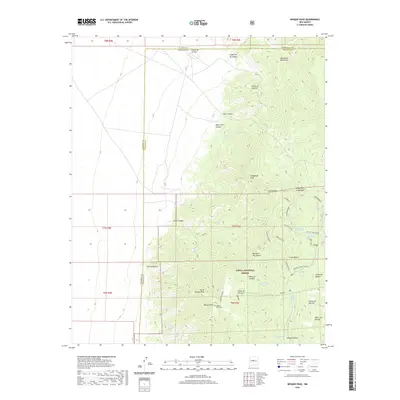 2020 Bosque Peak2020 Print · USGSThe high desert ridgelines where the Manzanita and Manzano Mountains meet are captured here in the contemporary era. Researchers can trace historic backcountry routes like the Albuquerque Trail and locate the remote Bosque Peak Cem.
 - 2020 Map of Mesas Mojinas, 2020 Print
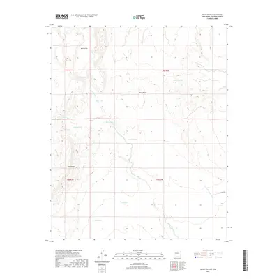 2020 Mesas Mojinas2020 Print · USGSValencia County is depicted here in the early twenty-first century as a landscape of high mesas and critical water catchments. Genealogists and historians can trace the paths of Arroyo Comanche and locate named landmarks like Gurule Tank and Mesa Aparejo.
 - 2020 Map of Comanche Ranch, 2020 Print
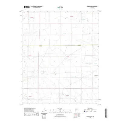 2020 Comanche Ranch2020 Print · USGSValencia and Socorro counties at the start of the 2020s remain a landscape of deep-rooted ranching traditions and arid-land management. Researchers can trace the layout of high-desert grazing lands through family-named sites like Comanche Ranch and crucial water sources such as Coyote Spring and Monte Largo Tank.
 - 2020 Map of Los Lunas, 2020 Print
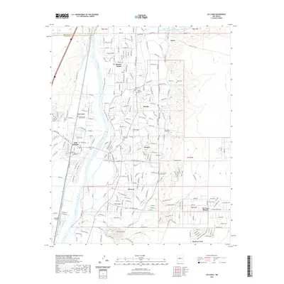 2020 Los Lunas2020 Print · USGSThe valley of the Rio Grande south of Albuquerque appears here in the twenty-first century, showing the evolved landscape of its riverfront communities. Researchers can locate many local landmarks like the Valencia County Courthouse and historical sites such as Peralta Cem and El Cerro Tome.
 - 2020 Map of Mesa Sarca, 2020 Print
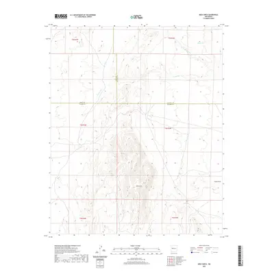 2020 Mesa Sarca2020 Print · USGSValencia County and the surrounding tri-county border lands are captured in this modern survey of the high-desert plateau. Researchers can trace the drainage of Arroyo Pato and locate isolated water features like Ojo Saladito and Rock Tank.
 - 2020 Map of South Garcia, 2020 Print
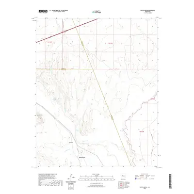 2020 South Garcia2020 Print · USGSThe high desert south of the Laguna and Canoncito areas comes to life in this modern topographic study of the New Mexico landscape. Researchers can trace the drainage of the Rio San Jose and locate remote features like El Ojo Escondido and Black Mesa.
Showing maps 1-25 of 58
Top cities of Valencia County
- Los Lunas historical maps
- Belen historical maps
- Rio Communities historical maps
- Bosque Farms historical maps
- Peralta historical maps
Frequently asked questions
- What are the different types of historical maps available for Valencia County?
- What is the oldest map of Valencia County?
- Where can I purchase historical maps of Valencia County for my home or office?
- Where can I download high-res historical maps of Valencia County?
- Are there historical topographic maps available for Valencia County?
- Is there historical aerial imagery available for Valencia County?
- Where are historical maps of Valencia County sourced from?