2010s Maps of Valencia County, New Mexico
Explore 87 historic maps of Valencia County from the 2010s. These maps offer a rare glimpse into what life looked like during the 2010s — showing old roads, neighborhoods, homes, and landmarks that have changed or disappeared over time.
Whether you're researching your family's past, planning a metal detecting trip, or studying how Valencia County's landscape evolved across the 2010s, these high-resolution maps are a powerful tool for exploring the history of this region.
- Focus on a specific era: All maps on this page are from the 2010s, giving you a focused view of this time period.
- See what’s changed: Compare century-old streets, trails, and buildings to today's modern landscape using overlays and satellite layers.
- Research with precision: Use these maps for genealogy, historical research, land use analysis, or educational projects.
- View, download, or print: Maps are fully viewable online in high resolution, and can be downloaded or printed for your own records.
Start exploring Valencia County's history through authentic maps from the 2010s. This is your window into the past.
Valencia County, NM maps
(87)- 2010 Map of Mesa Gallina, 2010 Print
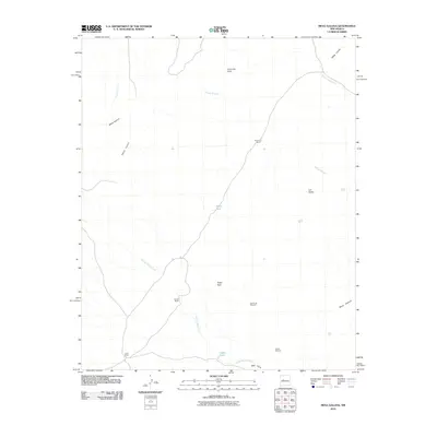 2010 Mesa Gallina2010 Print · USGSValencia County at the start of the twenty-first century reveals a high-desert terrain shaped by cattle ranching and seasonal waterways. Genealogists and historians can locate family-named sites like Yriart Ranch, Romero Ranch, and the remote Dead Cow Windmill.
 - 2010 Map of Correo, 2010 Print
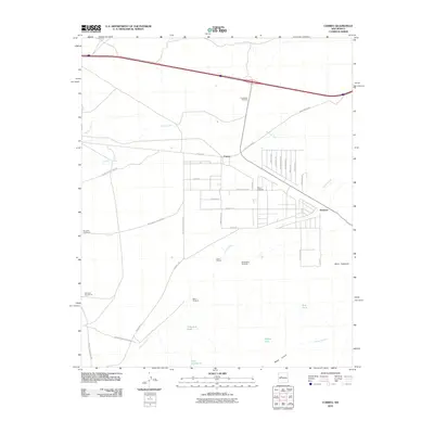 2010 Correo2010 Print · USGSThe high desert of Valencia County comes into focus in the early 2000s, where historic transportation routes meet traditional ranching lands. Researchers can trace the path of Old US 66 through Correo and locate family-named landmarks like Tranquilino Windmill and the Lower T X Ranch.
 - 2010 Map of Mesas Mojinas, 2010 Print
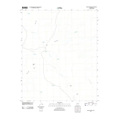 2010 Mesas Mojinas2010 Print · USGSValencia County at the start of the 21st century reveals a sparse landscape of high mesas and cattle-ranching infrastructure. Researchers can locate remote industrial sites like the All American Marble Claims and trace livestock water sources from Frost Ranch to Gurule Tank.
 - 2010 Map of Comanche Ranch, 2010 Print
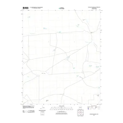 2010 Comanche Ranch2010 Print · USGSValencia County ranch lands are captured here in the early twenty-first century, showing the intricate water management of the high desert. Researchers can trace historic ranching infrastructure through features like Comanche Ranch, Coyote Spring, and Loco Retention Dam.
 - 2010 Map of Mesa Sarca, 2010 Print
 2010 Mesa Sarca2010 Print · USGSValencia County at the turn of the decade reveals a high-desert ranching landscape shaped by water and wide-open mesas. Researchers can trace remote operations like Saladito Ranch and drainage systems including Arroyo Pato and Coyote Draw.
 - 2010 Map of South Garcia, 2010 Print
 2010 South Garcia2010 Print · USGSValencia County at the turn of the decade reveals a landscape where traditional water sources meet tribal routes. Trace the pathways between South Garcia, the high slopes of Black Mesa, and vital water points like Dipping Vat Spring and El Ojo Escondido.
 - 2010 Map of Rio Puerco, 2010 Print
 2010 Rio Puerco2010 Print · USGSThe Rio Puerco valley in Valencia County remains a landscape defined by its seasonal waterways and high-desert mesas in the early 2000s. Genealogists and local researchers can trace the roads around Rio Puerco, including Quintana Rd and the routes near Hidden Mountain.
 - 2010 Map of Tome, 2010 Print
 2010 Tome2010 Print · USGSValencia County at the turn of the decade shows a riverside landscape defined by centuries-old irrigation and modern growth. Genealogists and historians can trace the foundations of Tome and Adelino or locate the Comanche Springs Archaeological District.
 - 2010 Map of Belen, 2010 Print
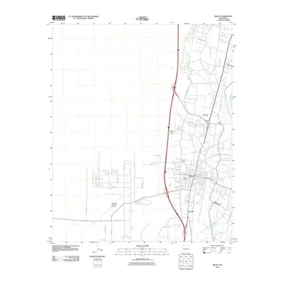 2010 Belen2010 Print · USGSBelen and the Rio Grande valley are seen here during a period of sustained growth in the early twenty-first century. Genealogists can trace family names and sites across Bacaville, Los Chavez, and the grounds of Our Lady of Belen Cemetery.
 - 2010 Map of Veguita, 2010 Print
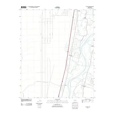 2010 Veguita2010 Print · USGSThe Rio Grande valley south of Belen is captured in the early 2000s, showcasing a landscape defined by traditional settlements and extensive irrigation. Genealogists and local historians can locate the Veguita Cemetery and trace community hubs like the Jarales Post Office and Sabinal Siding.
 - 2010 Map of Los Lunas SE, 2010 Print
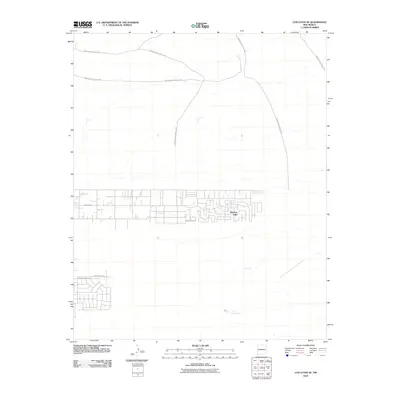 2010 Los Lunas SE2010 Print · USGSValencia County at the start of the decade reveals a growing desert community defined by residential expansion and historic transit routes. Trace the early layout of Meadow Lake and the essential water locations at Maes Spring and Carrizo Spring.
 - 2010 Map of Dalies, 2010 Print
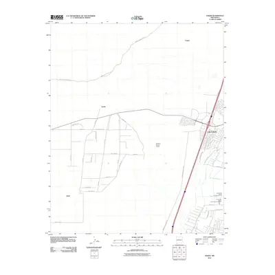 2010 Dalies2010 Print · USGSValencia County at the turn of the decade shows the intersection of suburban growth and institutional land use west of the Rio Grande. Researchers can trace local irrigation networks like the New Belen Ditch and historic junctions at Dalies and Sandia.
 - 2010 Map of Belen NW, 2010 Print
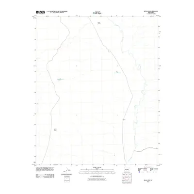 2010 Belen NW2010 Print · USGSValencia County at the start of the twenty-first century shows a landscape shaped by ranching and the winding path of the Rio Puerco. Local researchers can trace old ranching markers and water sources like Pueblo Windmill and Metate Reservoir.
 - 2010 Map of Black Butte, 2010 Print
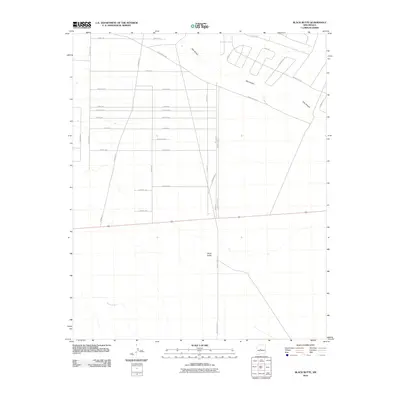 2010 Black Butte2010 Print · USGSIn the Socorro County desert during the early 2000s, new residential grids began to meet old watercourses. Trace the development of local roads like San Lorenzo Rd and Echo Cir near the prominent landmark of Black Butte.
 - 2010 Map of Los Lunas, 2010 Print
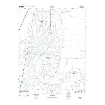 2010 Los Lunas2010 Print · USGSThe Rio Grande valley in the early 2000s remains a vital patchwork of traditional irrigation and modern infrastructure. Genealogists and historians can trace community roots through the Chical Indian School, the Pottery Mound, and numerous historic burial grounds like the Sangre de Cristo Cemetery.
 - 2010 Map of White Ridge, 2010 Print
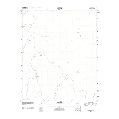 2010 White Ridge2010 Print · USGSValencia County ranchlands are documented here at the start of the twenty-first century, showing a landscape shaped by water and wind. Researchers can trace the layout of the T X Ranch, the location of the Sunset Mine, and numerous named landmarks like White Ridge.
 - 2010 Map of South Garcia SE, 2010 Print
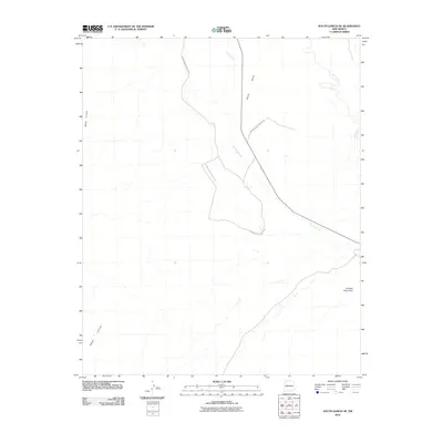 2010 South Garcia SE2010 Print · USGSBernalillo County's high-desert terrain is captured in this modern survey, focusing on the prominent landforms west of the Rio Puerco. Researchers can trace the path of Indian Service Route 548 past landmarks like Black Mesa and Hidden Mountain.
 - 2010 Map of Isleta, 2010 Print
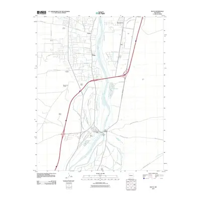 2010 Isleta2010 Print · USGSThe Rio Grande valley south of Albuquerque is documented here in the early twenty-first century as a land of ancient pueblos and modern infrastructure. Researchers can trace historic family sites and irrigation networks near Isleta Pueblo, Chical Indian School, and Isleta Cemetery.
 - 2010 Map of Hubbell Spring, 2010 Print
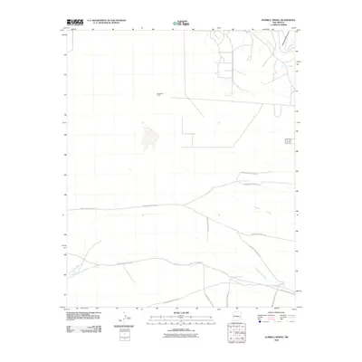 2010 Hubbell Spring2010 Print · USGSThe high desert south of Albuquerque appears in the early twenty-first century as a landscape of mountain foothills and critical water sources. Trace the legacy of territorial ranching and transit via McCormick Ranch, Hubbell Spring, and Indian Service Route 60.
 - 2010 Map of Becker, 2010 Print
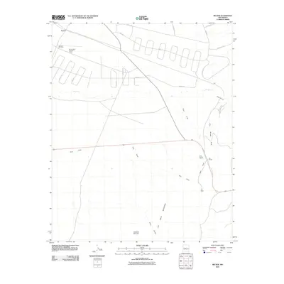 2010 Becker2010 Print · USGSCentral New Mexico ranchlands and mountains are captured here in the early twenty-first century. Researchers can trace land use from West and Pyle Ranch to the industrial Blue Springs Quarry near the foot of the Los Pinos Mountains.
 - 2010 Map of Belen SW, 2010 Print
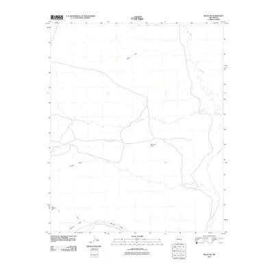 2010 Belen SW2010 Print · USGSValencia County in the early twenty-first century is captured here through its network of desert washes and high plateaus. Researchers can trace the winding Rio Puerco and identify rural infrastructure like the Loco Retention Dam and Montano Flats.
 - 2010 Map of Casa Colorada, 2010 Print
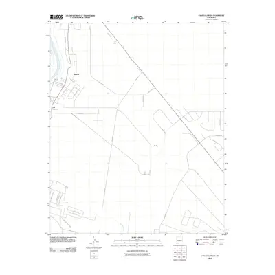 2010 Casa Colorada2010 Print · USGSValencia County at the turn of the millennium shows the intersection of traditional river life and modern expansion. Genealogists and local historians can trace the growth of Casa Colorada and Madrone near the Rio Grande and the Abo Arroyo.
 - 2011 Map of Scholle, 2011 Print
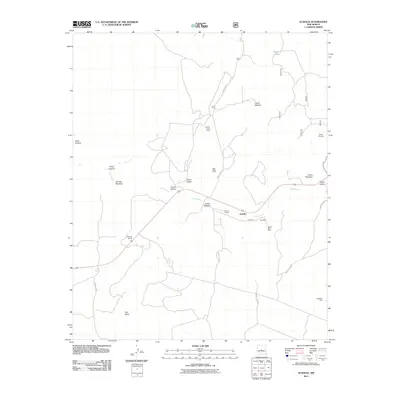 2011 Scholle2011 Print · USGSScholle and the surrounding Torrance County canyonlands appear here in the early twenty-first century, showing a landscape defined by mining and rail history. Local researchers can trace the old Scholle Siding, locate remote prospects like the Jack Rabbit Claim, and find water landmarks such as Dripping Spring.
 - 2011 Map of Bosque Peak, 2011 Print
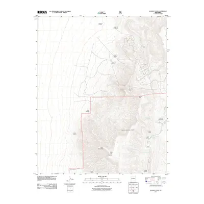 2011 Bosque Peak2011 Print · USGSThe Manzano Mountains come into sharp focus in this 2011 survey of the high desert and forested peaks near the Valencia county line. Hikers and historians can trace routes to the Bosque Peak Cemetery, Mosca Peak, and the seasonal Fourth of July Campground.
 - 2011 Map of Manzano Peak, 2011 Print
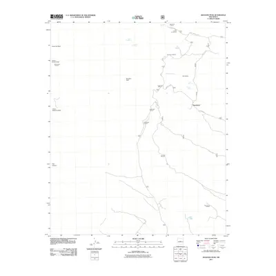 2011 Manzano Peak2011 Print · USGSThe Manzano Mountains are captured here in the early 2000s, showcasing a network of remote trailheads and vital high-desert water sources. Hikers and historians can trace routes from Kayser Mill Trailhead past Thunderbird to named springs like Cieneguita Spring.
Showing maps 1-25 of 87
Top cities of Valencia County
- Los Lunas historical maps
- Belen historical maps
- Rio Communities historical maps
- Bosque Farms historical maps
- Peralta historical maps
Frequently asked questions
- What are the different types of historical maps available for Valencia County?
- What is the oldest map of Valencia County?
- Where can I purchase historical maps of Valencia County for my home or office?
- Where can I download high-res historical maps of Valencia County?
- Are there historical topographic maps available for Valencia County?
- Is there historical aerial imagery available for Valencia County?
- Where are historical maps of Valencia County sourced from?