2000s (21st Century) Maps of Keene, New York
Explore 45 historic maps of Keene from the 2000s (21st Century). These maps offer a rare glimpse into what life looked like during the 2000s — showing old roads, neighborhoods, homes, and landmarks that have changed or disappeared over time.
Whether you're researching your family's past, planning a metal detecting trip, or studying how Keene's landscape evolved across the 2000s, these high-resolution maps are a powerful tool for exploring the history of this region.
- Focus on a specific era: All maps on this page are from the 2000s, giving you a focused view of this time period.
- See what’s changed: Compare century-old streets, trails, and buildings to today's modern landscape using overlays and satellite layers.
- Research with precision: Use these maps for genealogy, historical research, land use analysis, or educational projects.
- View, download, or print: Maps are fully viewable online in high resolution, and can be downloaded or printed for your own records.
Start exploring Keene's history through authentic maps from the 2000s. This is your window into the past.
Keene, NY maps
(45)- 2010 Map of Underwood, 2010 Print
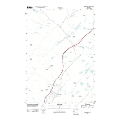 2010 Underwood2010 Print · USGSThe Adirondack wilderness in the early twenty-first century is captured here as a landscape of interconnected rivers and high summits. Researchers and hikers can trace the paths of the Dix Wilderness Trl, locate the North Hudson Cemetery, and survey the drainages around Makomis Mountain.
 - 2010 Map of Keene Valley, 2010 Print
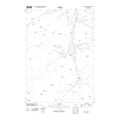 2010 Keene Valley2010 Print · USGSThe Adirondack high peaks and the Ausable River valley are captured in detail during the early 2000s. Researchers can locate family heritage sites like Norton Cemetery and Estes Cemetery or trace the routes of State Hwy 73 SCN and Stagecoach Rd.
 - 2010 Map of Dix Mountain, 2010 Print
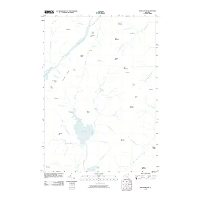 2010 Dix Mountain2010 Print · USGSThe Adirondack High Peaks are captured here during the first decade of the 2000s, centered on the waters of Elk Lake. Hikers and historians can trace the passes and landmarks of the range, from Wagon Wheel Landing to the summit of Dix Mountain.
 - 2010 Map of Mount Marcy, 2010 Print
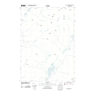 2010 Mount Marcy2010 Print · USGSAdirondack high peaks terrain comes into focus in this modern survey, detailing the remote watershed at the heart of the park. Hikers and historians can trace the paths around Mount Marcy and Lake Colden, or locate points like Marcy Landing and Four Corners.
 - 2010 Map of North Elba, 2010 Print
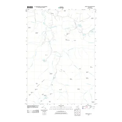 2010 North Elba2010 Print · USGSThe High Peaks wilderness near North Elba is shown at the start of the decade, providing a clear look at the region’s topography and modern infrastructure. You can trace established back-country routes past Marcy Dam to Algonquin Peak or locate landmarks like the Olympic Bobsled Run.
 - 2010 Map of Lake Placid, 2010 Print
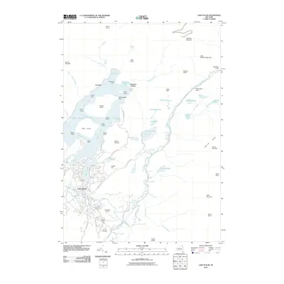 2010 Lake Placid2010 Print · USGSThe village of Lake Placid and its surrounding peaks are shown in the years following the millennial games. Researchers can trace the layout of the Olympic Arena, locate the North Elba Cemetery, and follow the West Branch Ausable River through Wilmington Notch.
 - 2010 Map of Keene, 2010 Print
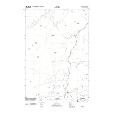 2010 Keene2010 Print · USGSUpper Jay and Keene sit within the high Adirondack peaks as they appeared a few years ago. Researchers can trace local lineage at Mountain View Cemetery or follow the river courses to landmarks like The Flume Fall and Clifford Falls.
 - 2010 Map of Jay Mountain, 2010 Print
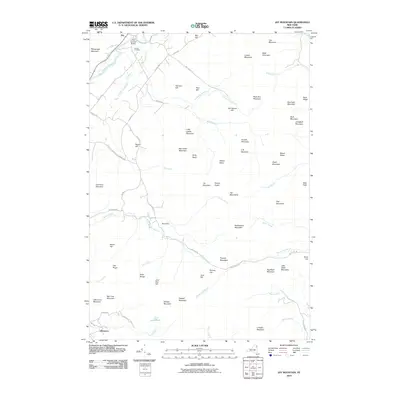 2010 Jay Mountain2010 Print · USGSThe Adirondacks at the start of the 2010s are defined here by high peaks and the river valley settlements of Jay and Glenmore. Trace local history at the Jay Covered Bridge or follow the waters of the East Branch Ausable River past Central Cemetery.
 - 2011 Map of Rocky Peak Ridge, 2011 Print
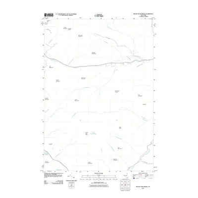 2011 Rocky Peak Ridge2011 Print · USGSAdirondack Park peaks and wilderness waterways are the focus of this 2011 survey of the High Peaks region. Genealogists and hikers can trace historical routes like Old Military Rd and locate landmarks such as Marie Louise Pond or Conners Notch.
 - 2013 Map of Keene, 2013 Print
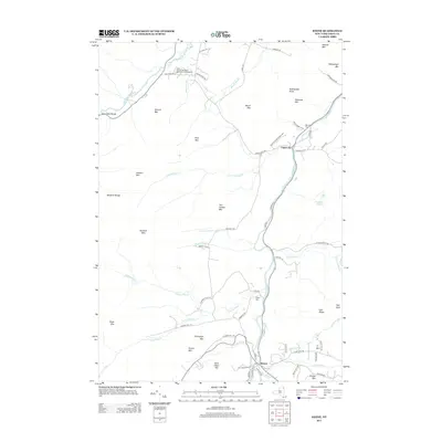 2013 Keene2013 Print · USGSThe Adirondack settlements of Upper Jay and Keene are captured in the early 2010s as they follow the forks of the Ausable River. Researchers can trace local lineage through Ingalls Cem or locate landmarks like High Falls Gorge and The Flume Fall.
 - 2013 Map of Dix Mountain, 2013 Print
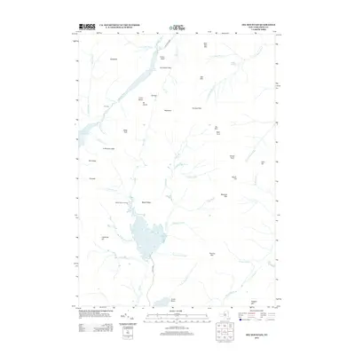 2013 Dix Mountain2013 Print · USGSThe High Peaks of Essex County are documented in the early 2010s, showcasing a network of summits and glacial lakes. Researchers can trace historic access points like Wagon Wheel Landing, the portage at The Carry, and landmarks including Rainbow Falls.
 - 2013 Map of Lake Placid, 2013 Print
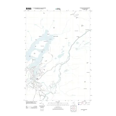 2013 Lake Placid2013 Print · USGSLake Placid and the High Peaks region are documented here in the early twenty-first century, showing the legacy of Olympic athletics and Adirondack history. Researchers can trace the layout of the village near Mirror Lake and find landmarks like the Olympic Ski Jump and N Elba Cem.
 - 2013 Map of Mount Marcy, 2013 Print
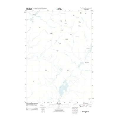 2013 Mount Marcy2013 Print · USGSThe high peaks of the Adirondacks are captured in detail during the early 2010s, showing a landscape of alpine summits and remote waters. Researchers can trace the drainage of the Opalescent River and locate landmarks like Mt Marcy, Four Corners, and Boreas Ponds.
 - 2013 Map of Jay Mountain, 2013 Print
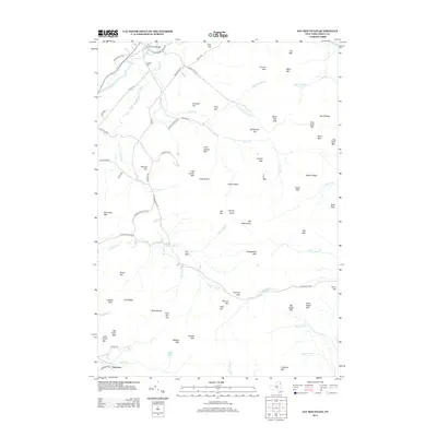 2013 Jay Mountain2013 Print · USGSEssex County's high peaks and river valleys are captured here in the early twenty-first century. Researchers can trace landforms and local landmarks like the Jay Covered Bridge, Central Cem, and the remote waters of Lost Pond.
 - 2013 Map of Underwood, 2013 Print
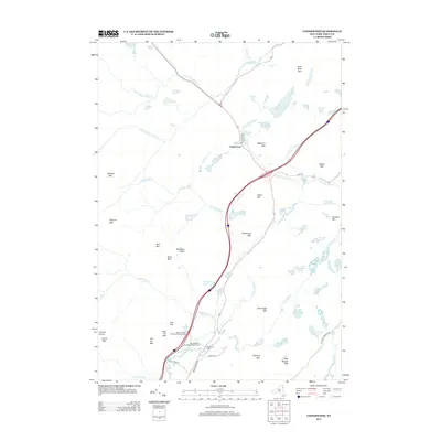 2013 Underwood2013 Print · USGSIn the Adirondack wilderness during the early twenty-first century, this map documents the peaks and valleys surrounding the Underwood settlement. Local researchers can locate the N Hudson Cem and trace the paths of the Schroon River and Boquet River.
 - 2013 Map of North Elba, 2013 Print
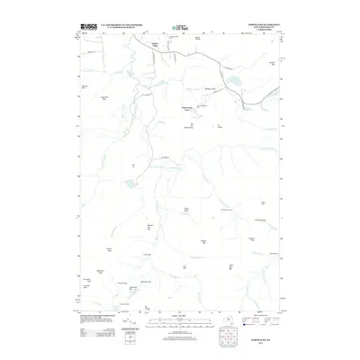 2013 North Elba2013 Print · USGSNorth Elba and the surrounding High Peaks region are documented here during the early twenty-first century, showcasing a unique blend of Olympic-grade sports venues and remote wilderness. Outdoor historians can trace the paths to Heart Lake, locate remote sites like Klondike Dam Camp, and see the layout of the Olympic Bobsled Run.
 - 2013 Map of Keene Valley, 2013 Print
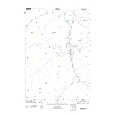 2013 Keene Valley2013 Print · USGSThe Adirondack High Peaks region surrounds Keene Valley in this detailed 2013 survey. Researchers can trace the riverfront development of Saint Huberts, locate the Marcy Field Airport, or find family names at Shaw Cem and Holt Cem.
 - 2013 Map of Rocky Peak Ridge, 2013 Print
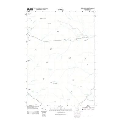 2013 Rocky Peak Ridge2013 Print · USGSThe high summits of the eastern Adirondacks come into focus in this 2013 survey of the Essex County wilderness. Outdoor historians and researchers can trace the drainages of the Boquet River and locate landmarks like Split Rock Falls, Giant Mtn, and Marie Louise Pond.
 - 2016 Map of Rocky Peak Ridge, 2016 Print
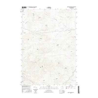 2016 Rocky Peak Ridge2016 Print · USGSThe Adirondack High Peaks come alive in this 2010s survey of the central Essex County wilderness. Hikers and local historians can trace the paths to Giant Mountain and Rocky Peak Ridge, or locate landmarks like Split Rock Falls and Marie Louise Pond.
 - 2016 Map of Keene, 2016 Print
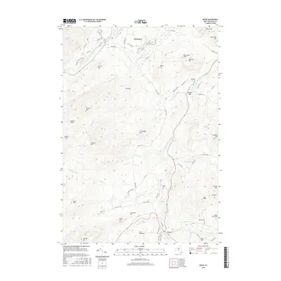 2016 Keene2016 Print · USGSUpper Jay and Wilmington are shown here in the heart of the mountains during the mid-2010s. Researchers can locate family sites at Mountain View Cem, trace the forks of the West Branch Ausable River, and identify landmarks like The Flume Fall.
 - 2016 Map of Mount Marcy, 2016 Print
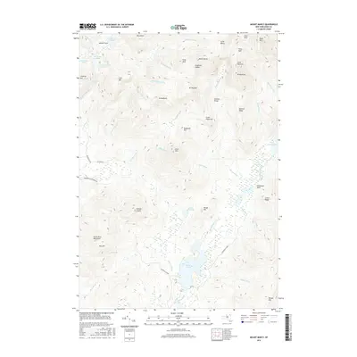 2016 Mount Marcy2016 Print · USGSThe High Peaks of the Adirondacks are documented here in detail during the early twenty-first century. Researchers can trace the steep topography between Mount Marcy and Lake Colden or locate remote features like Panther Gorge.
 - 2016 Map of Keene Valley, 2016 Print
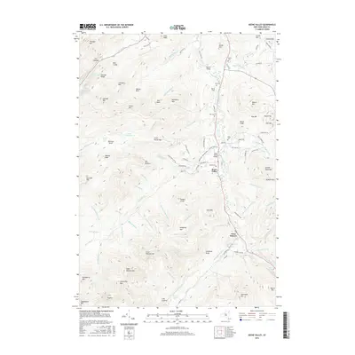 2016 Keene Valley2016 Print · USGSThe High Peaks region comes into focus during the mid-2010s, showing the intersection of deep-rooted valley settlements and the surrounding wilderness. Researchers can trace land use through the numerous local graveyards like Holt Cem, landmarks like Johns Brook Bridge, and the vast trail network including Porter Mountain Trl.
 - 2016 Map of Underwood, 2016 Print
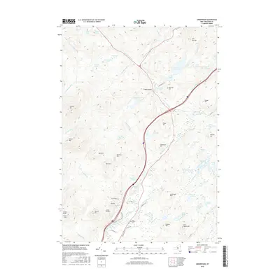 2016 Underwood2016 Print · USGSThe Adirondack high country near Underwood was a land of rivers and ridges during the early twenty-first century. Genealogists and hikers can trace the North Hudson Cem and the routes of the Dix Wilderness Trl along the Schroon River.
 - 2016 Map of North Elba, 2016 Print
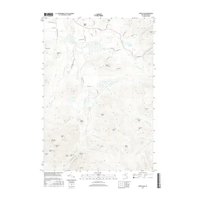 2016 North Elba2016 Print · USGSHigh peaks and winter sports heritage define this Essex County landscape during the mid-2010s. Hikers and historians can trace routes around Heart Lake, the slopes of Mt Van Hoevenberg, and the summits of the MacIntyre Mountains.
 - 2016 Map of Jay Mountain, 2016 Print
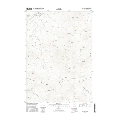 2016 Jay Mountain2016 Print · USGSThe Adirondack High Peaks region comes into focus during the mid-2010s, centered on the river valley and rugged interior ridges. Genealogists and hikers can trace landmarks like the Jay Covered Bridge, Central Cem, and the remote heights of Jay Mountain.
Showing maps 1-25 of 45
Top cities near Keene
- North Elba historical maps
- Moriah historical maps
- Jay historical maps
- Chesterfield historical maps
- Lake Placid historical maps
- Crown Point historical maps
See more
Top neighborhoods of Keene
Frequently asked questions
- What are the different types of historical maps available for Keene?
- What is the oldest map of Keene?
- Where can I purchase historical maps of Keene for my home or office?
- Where can I download high-res historical maps of Keene?
- Are there historical topographic maps available for Keene?
- Is there historical aerial imagery available for Keene?
- Where are historical maps of Keene sourced from?