2000s (21st Century) Maps of Ohio, New York
Explore 60 historic maps of Ohio from the 2000s (21st Century). These maps offer a rare glimpse into what life looked like during the 2000s — showing old roads, neighborhoods, homes, and landmarks that have changed or disappeared over time.
Whether you're researching your family's past, planning a metal detecting trip, or studying how Ohio's landscape evolved across the 2000s, these high-resolution maps are a powerful tool for exploring the history of this region.
- Focus on a specific era: All maps on this page are from the 2000s, giving you a focused view of this time period.
- See what’s changed: Compare century-old streets, trails, and buildings to today's modern landscape using overlays and satellite layers.
- Research with precision: Use these maps for genealogy, historical research, land use analysis, or educational projects.
- View, download, or print: Maps are fully viewable online in high resolution, and can be downloaded or printed for your own records.
Start exploring Ohio's history through authentic maps from the 2000s. This is your window into the past.
Ohio, NY maps
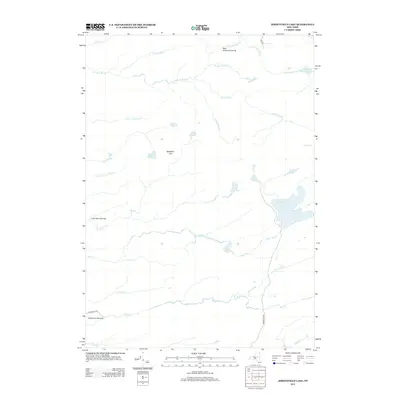
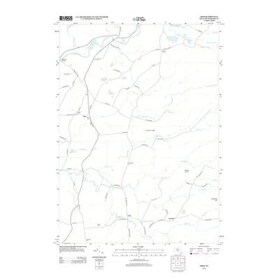
(60)- 2010 Map of North Wilmurt, 2010 Print
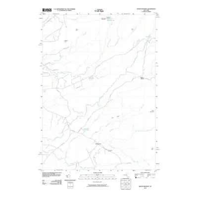 2010 North Wilmurt2010 Print · USGSCovers Ohio, including Russia, Remsen, and other nearby areas
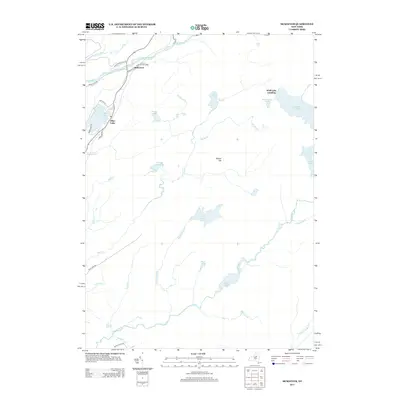
 - 2010 Map of McKeever, 2010 Print
 2010 McKeever2010 Print · USGSCovers Ohio, including Webb, Forestport, and other nearby areas
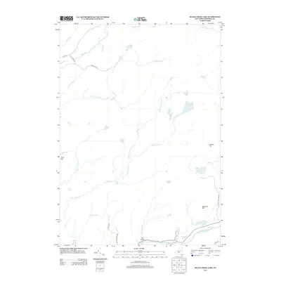
 - 2010 Map of Black Creek Lake, 2010 Print
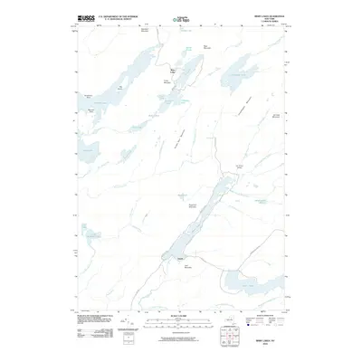
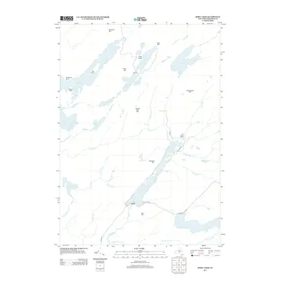
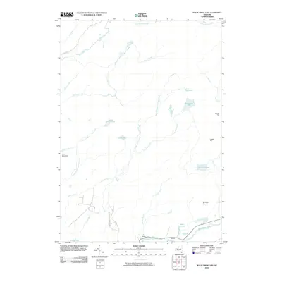 2010 Black Creek Lake2010 Print · USGSCovers Ohio, including Herkimer County, United States, and other nearby areas
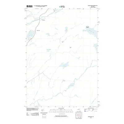
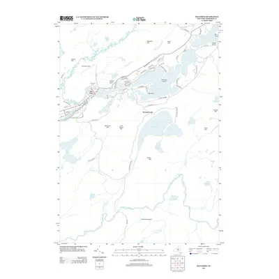
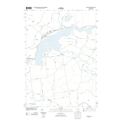
 - 2010 Map of Ohio, 2010 Print
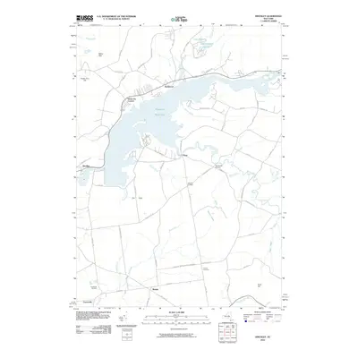
 2010 Ohio2010 Print · USGSCovers Ohio, including Salisbury, Norway, and other nearby areas
 - 2010 Map of Honnedaga Lake, 2010 Print
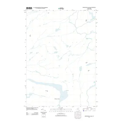
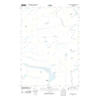 2010 Honnedaga Lake2010 Print · USGSCovers Ohio, including Morehouse, Herkimer Landing, and other nearby areas
 - 2010 Map of Limekiln Lake, 2010 Print
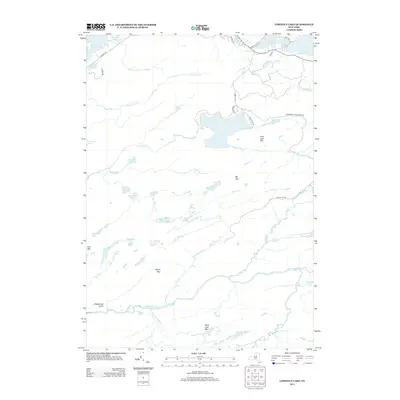
 2010 Limekiln Lake2010 Print · USGSCovers Ohio, including Webb, Inlet, and other nearby areas
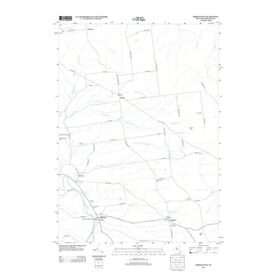
 - 2010 Map of Middleville, 2010 Print
 2010 Middleville2010 Print · USGSCovers Ohio, including Russia, Newport, and other nearby areas
 - 2010 Map of Jerseyfield Lake, 2010 Print
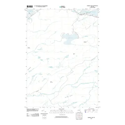
 2010 Jerseyfield Lake2010 Print · USGSCovers Ohio, including Salisbury, Morehouse, and other nearby areas
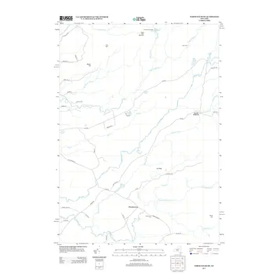
 - 2010 Map of Bisby Lakes, 2010 Print
 2010 Bisby Lakes2010 Print · USGSCovers Ohio, including Webb, Atwell, and other nearby areas
 - 2010 Map of Old Forge, 2010 Print
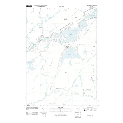 2010 Old Forge2010 Print · USGSCovers Ohio, including Webb, Old Forge, and other nearby areas
 - 2010 Map of Hinckley, 2010 Print
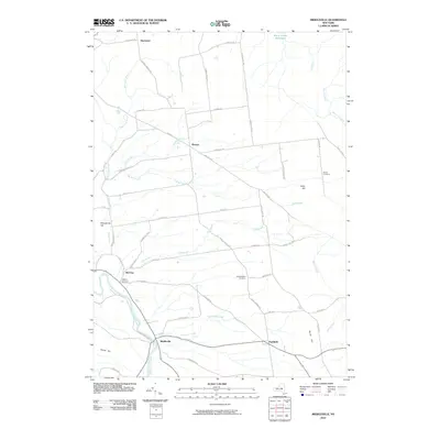
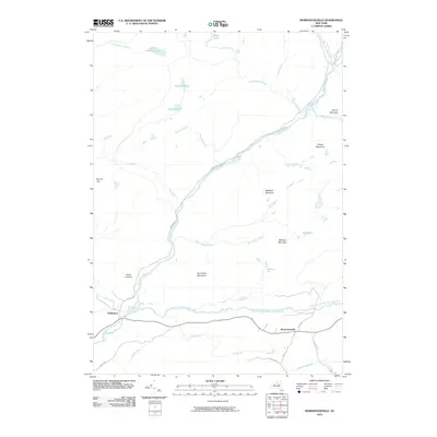
 2010 Hinckley2010 Print · USGSCovers Ohio, including Trenton, Russia, and other nearby areas
 - 2010 Map of Morehouseville, 2010 Print
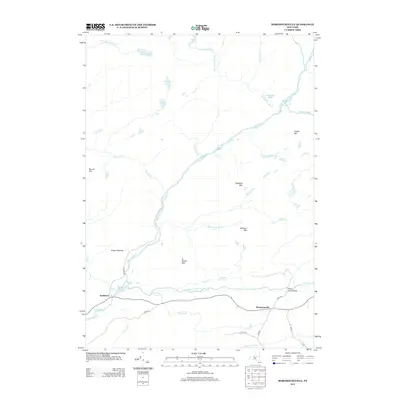
 2010 Morehouseville2010 Print · USGSCovers Ohio, including Morehouse, Morehouseville, and other nearby areas
 - 2013 Map of Bisby Lakes, 2013 Print
 2013 Bisby Lakes2013 Print · USGSCovers Ohio, including Webb, Atwell, and other nearby areas
 - 2013 Map of Morehouseville, 2013 Print
 2013 Morehouseville2013 Print · USGSCovers Ohio, including Morehouse, Morehouseville, and other nearby areas
 - 2013 Map of Honnedaga Lake, 2013 Print
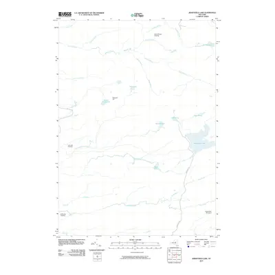
 2013 Honnedaga Lake2013 Print · USGSCovers Ohio, including Morehouse, Herkimer Landing, and other nearby areas
 - 2013 Map of Limekiln Lake, 2013 Print
 2013 Limekiln Lake2013 Print · USGSCovers Ohio, including Webb, Inlet, and other nearby areas
 - 2013 Map of Jerseyfield Lake, 2013 Print
 2013 Jerseyfield Lake2013 Print · USGSCovers Ohio, including Salisbury, Morehouse, and other nearby areas
 - 2013 Map of Old Forge, 2013 Print
 2013 Old Forge2013 Print · USGSCovers Ohio, including Webb, Old Forge, and other nearby areas
 - 2013 Map of Black Creek Lake, 2013 Print
 2013 Black Creek Lake2013 Print · USGSCovers Ohio, including Herkimer County, United States, and other nearby areas
 - 2013 Map of Middleville, 2013 Print
 2013 Middleville2013 Print · USGSCovers Ohio, including Russia, Newport, and other nearby areas
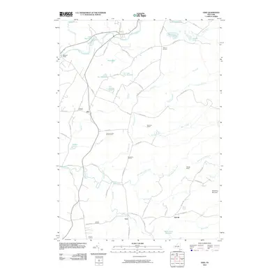
 - 2013 Map of Ohio, 2013 Print
 2013 Ohio2013 Print · USGSCovers Ohio, including Salisbury, Norway, and other nearby areas
 - 2013 Map of McKeever, 2013 Print
 2013 McKeever2013 Print · USGSCovers Ohio, including Webb, Forestport, and other nearby areas
 - 2013 Map of Hinckley, 2013 Print
 2013 Hinckley2013 Print · USGSCovers Ohio, including Trenton, Russia, and other nearby areas
 - 2013 Map of North Wilmurt, 2013 Print
 2013 North Wilmurt2013 Print · USGSCovers Ohio, including Russia, Remsen, and other nearby areas
 - 2016 Map of North Wilmurt, 2016 Print
 2016 North Wilmurt2016 Print · USGSCovers Ohio, including Russia, Remsen, and other nearby areas
Showing maps 1-25 of 60
Top cities near Ohio
- Trenton historical maps
- Russia historical maps
- Salisbury historical maps
- Webb historical maps
- Remsen historical maps
- Forestport historical maps
See more
Top neighborhoods of Ohio
- Gray historical maps
- Bull Hill historical maps
- Nobleboro historical maps
- North Wilmurt historical maps
- Atwell historical maps
- Herkimer Landing historical maps
Frequently asked questions
- What are the different types of historical maps available for Ohio?
- What is the oldest map of Ohio?
- Where can I purchase historical maps of Ohio for my home or office?
- Where can I download high-res historical maps of Ohio?
- Are there historical topographic maps available for Ohio?
- Is there historical aerial imagery available for Ohio?
- Where are historical maps of Ohio sourced from?