2000s (21st Century) Maps of Niagara County, New York
Explore 94 historic maps of Niagara County from the 2000s (21st Century). These maps offer a rare glimpse into what life looked like during the 2000s — showing old roads, neighborhoods, homes, and landmarks that have changed or disappeared over time.
Whether you're researching your family's past, planning a metal detecting trip, or studying how Niagara County's landscape evolved across the 2000s, these high-resolution maps are a powerful tool for exploring the history of this region.
- Focus on a specific era: All maps on this page are from the 2000s, giving you a focused view of this time period.
- See what’s changed: Compare century-old streets, trails, and buildings to today's modern landscape using overlays and satellite layers.
- Research with precision: Use these maps for genealogy, historical research, land use analysis, or educational projects.
- View, download, or print: Maps are fully viewable online in high resolution, and can be downloaded or printed for your own records.
Start exploring Niagara County's history through authentic maps from the 2000s. This is your window into the past.
Niagara County, NY maps
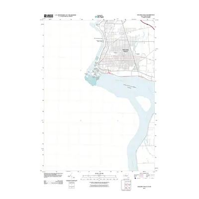
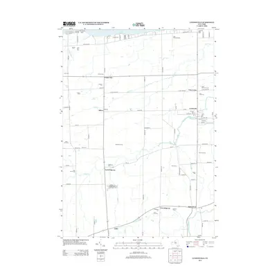
(94)- 2010 Map of Newfane, 2010 Print
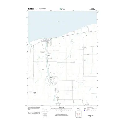 2010 Newfane2010 Print · USGSCovers Niagara County, including Newfane, Hartland, and other nearby areas
 - 2010 Map of Ransomville, 2010 Print
 2010 Ransomville2010 Print · USGSCovers Niagara County, including Wheatfield, Lewiston, and other nearby areas
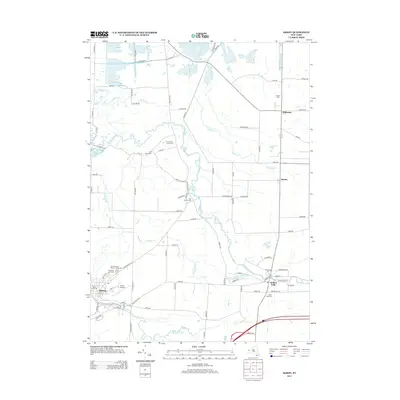
 - 2010 Map of Akron, 2010 Print
 2010 Akron2010 Print · USGSCovers Niagara County, including Newstead, Royalton, and other nearby areas
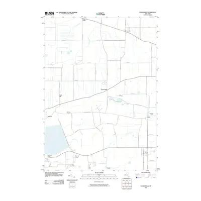
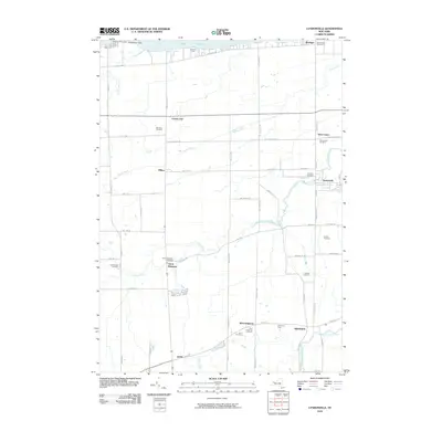
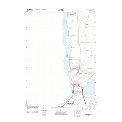
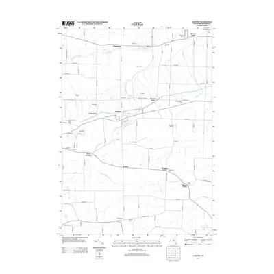
 - 2010 Map of Cambria, 2010 Print
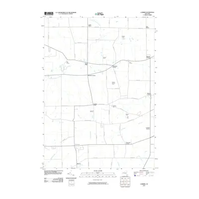 2010 Cambria2010 Print · USGSCovers Niagara County, including Lockport, Wheatfield, and other nearby areas
 - 2010 Map of Wolcottsville, 2010 Print
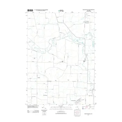
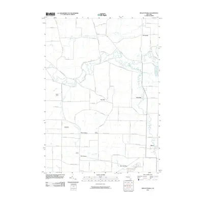 2010 Wolcottsville2010 Print · USGSCovers Niagara County, including Clarence, Lockport, and other nearby areas
 - 2010 Map of Gasport, 2010 Print
 2010 Gasport2010 Print · USGSCovers Niagara County, including Lockport, Royalton, and other nearby areas
 - 2010 Map of Lyndonville, 2010 Print
 2010 Lyndonville2010 Print · USGSCovers Niagara County, including Ridgeway, Hartland, and other nearby areas
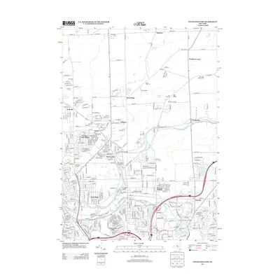
 - 2010 Map of Lockport, 2010 Print
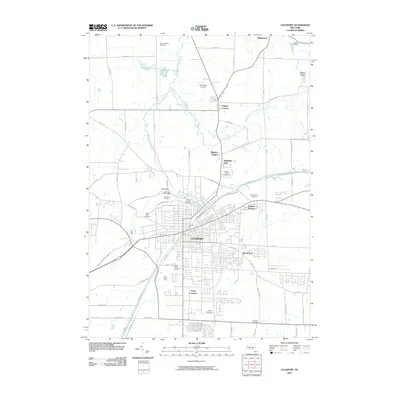 2010 Lockport2010 Print · USGSCovers Niagara County, including Lockport, Lockport, and other nearby areas
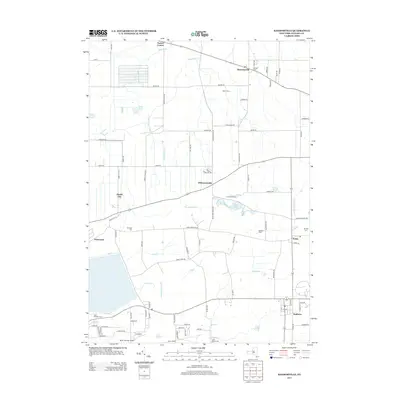
 - 2010 Map of Clarence Center, 2010 Print
 2010 Clarence Center2010 Print · USGSCovers Niagara County, including Amherst, Clarence, and other nearby areas
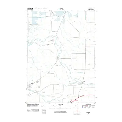
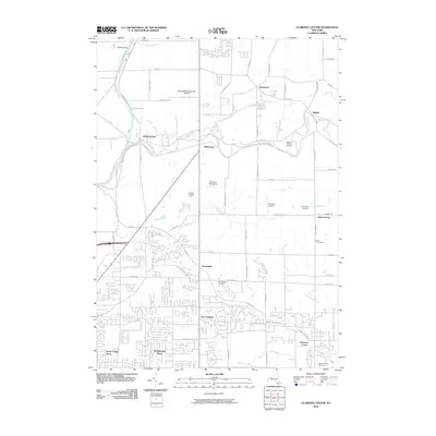
 - 2010 Map of Barker, 2010 Print
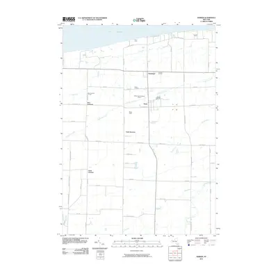 2010 Barker2010 Print · USGSCovers Niagara County, including Hartland, Somerset, and other nearby areas
 - 2010 Map of Tonawanda West, 2010 Print
 2010 Tonawanda West2010 Print · USGSCovers Niagara County, including Niagara Falls, Tonawanda, and other nearby areas
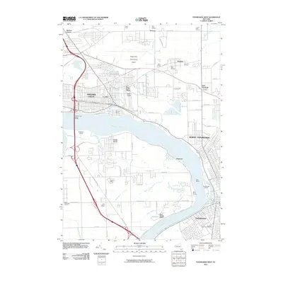
 - 2010 Map of Medina, 2010 Print
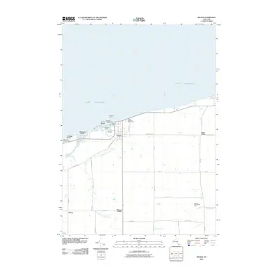
 2010 Medina2010 Print · USGSCovers Niagara County, including Royalton, Ridgeway, and other nearby areas
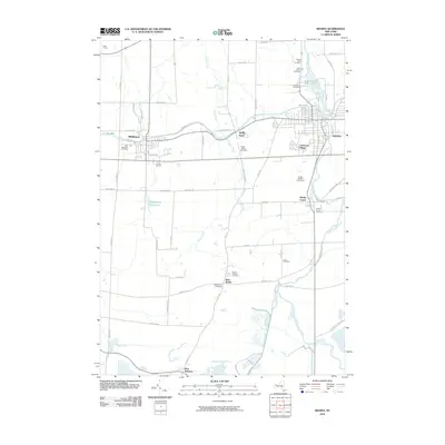
 - 2010 Map of Sixmile Creek, 2010 Print
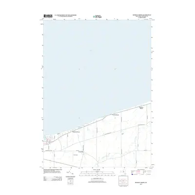
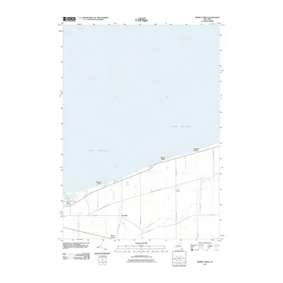 2010 Sixmile Creek2010 Print · USGSCovers Niagara County, including Porter, Wilson, and other nearby areas
 - 2010 Map of Wilson, 2010 Print
 2010 Wilson2010 Print · USGSCovers Niagara County, including Newfane, Wilson, and other nearby areas
 - 2010 Map of Tonawanda East, 2010 Print
 2010 Tonawanda East2010 Print · USGSCovers Niagara County, including Amherst, Tonawanda, and other nearby areas
 - 2011 Map of Lewiston, 2011 Print
 2011 Lewiston2011 Print · USGSCovers Niagara County, including Niagara Falls, Niagara Falls, and other nearby areas
 - 2011 Map of Niagara Falls, 2011 Print
 2011 Niagara Falls2011 Print · USGSCovers Niagara County, including Niagara Falls, Niagara Falls, and other nearby areas
 - 2012 Map of Fort Niagara, 2012 Print
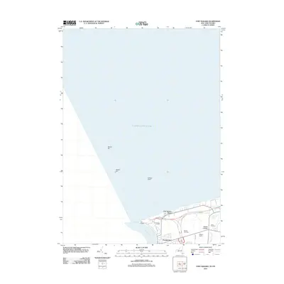 2012 Fort Niagara2012 Print · USGSCovers Niagara County, including Niagara-on-the-Lake, Porter, and other nearby areas
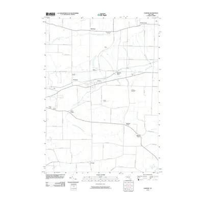
 - 2013 Map of Gasport, 2013 Print
 2013 Gasport2013 Print · USGSCovers Niagara County, including Lockport, Royalton, and other nearby areas
 - 2013 Map of Ransomville, 2013 Print
 2013 Ransomville2013 Print · USGSCovers Niagara County, including Wheatfield, Lewiston, and other nearby areas
 - 2013 Map of Lyndonville, 2013 Print
 2013 Lyndonville2013 Print · USGSCovers Niagara County, including Ridgeway, Hartland, and other nearby areas
 - 2013 Map of Sixmile Creek, 2013 Print
 2013 Sixmile Creek2013 Print · USGSCovers Niagara County, including Porter, Wilson, and other nearby areas
 - 2013 Map of Wolcottsville, 2013 Print
 2013 Wolcottsville2013 Print · USGSCovers Niagara County, including Clarence, Lockport, and other nearby areas
 - 2013 Map of Tonawanda East, 2013 Print
 2013 Tonawanda East2013 Print · USGSCovers Niagara County, including Amherst, Tonawanda, and other nearby areas
 - 2013 Map of Akron, 2013 Print
 2013 Akron2013 Print · USGSCovers Niagara County, including Newstead, Royalton, and other nearby areas
Showing maps 1-25 of 94
Top cities of Niagara County
- Niagara Falls historical maps
- North Tonawanda historical maps
- Lockport historical maps
- Lockport historical maps
- Wheatfield historical maps
- Lewiston historical maps
See more
Frequently asked questions
- What are the different types of historical maps available for Niagara County?
- What is the oldest map of Niagara County?
- Where can I purchase historical maps of Niagara County for my home or office?
- Where can I download high-res historical maps of Niagara County?
- Are there historical topographic maps available for Niagara County?
- Is there historical aerial imagery available for Niagara County?
- Where are historical maps of Niagara County sourced from?