1940s Maps of Niagara County, New York
Explore 12 historic maps of Niagara County from the 1940s. These maps offer a rare glimpse into what life looked like during the 1940s — showing old roads, neighborhoods, homes, and landmarks that have changed or disappeared over time.
Whether you're researching your family's past, planning a metal detecting trip, or studying how Niagara County's landscape evolved across the 1940s, these high-resolution maps are a powerful tool for exploring the history of this region.
- Focus on a specific era: All maps on this page are from the 1940s, giving you a focused view of this time period.
- See what’s changed: Compare century-old streets, trails, and buildings to today's modern landscape using overlays and satellite layers.
- Research with precision: Use these maps for genealogy, historical research, land use analysis, or educational projects.
- View, download, or print: Maps are fully viewable online in high resolution, and can be downloaded or printed for your own records.
Start exploring Niagara County's history through authentic maps from the 1940s. This is your window into the past.
Niagara County, NY maps
(12)- 1948 Map of Tonawanda, 1953 Print
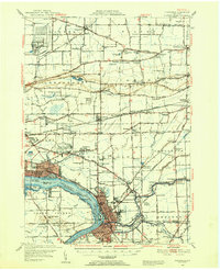 1948 Tonawanda1953 Print · USGSNiagara and Erie counties are shown here just after the war, where the Niagara River meets the historic Erie Canal. Genealogists and local historians can trace the early layout of North Tonawanda or locate family sites at Molyneaux Corners and Colonial Village.3 unique versions available
 - 1948 Map of Lockport, 1953 Print
 1948 Lockport1953 Print · USGSNiagara and Erie Counties are shown here during the late forties, when the canal and rail lines still anchored the regional economy. Researchers can locate numerous numbered rural schoolhouses and vanished stops like Hodgeville Sta or Akron Junction.3 unique versions available
 - 1948 Map of Wilson, 1956 Print
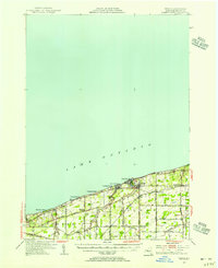 1948 Wilson1956 Print · USGSNiagara County's Lake Ontario shoreline comes alive in the late 1940s, showcasing a network of summer beach colonies and inland farming hamlets. Trace family roots at Greenwood Cem, locate the old School No 8, or follow the New York Central tracks through Wilson.2 unique versions available
 - 1948 Map of Olcott, 1956 Print
 1948 Olcott1956 Print · USGSNiagara County's lakefront and orchard country are captured here in the late 1940s as industry and agriculture moved by rail. Trace the New York Central line through Newfane or locate family roots at St Johns Ch, Corwin Cem, and various numbered schoolhouses.
 - 1948 Map of Tonawanda West, 1958 Print
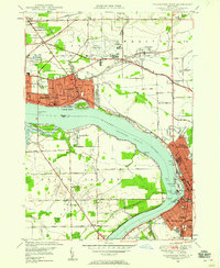 1948 Tonawanda West1958 Print · USGSThe industrial and riverfront character of the Niagara frontier is on full display during the postwar era. Genealogists and historians can trace rail networks like the New York Central RR and locate local landmarks such as Bishop Duffy High Sch or the Holy Ghost Cem (Church).2 unique versions available
 - 1949 Map of Wilson
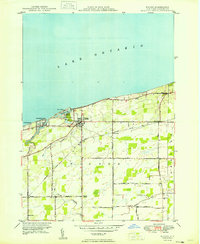 1949 Wilson1949 Print · USGSThe Niagara County shoreline was a mix of quiet summer colonies and agricultural hamlets in the years following the war. Researchers can trace family roots through landmarks like Tuscarora Cem, St Peters Ch, and the rail stops along the New York Central.
 - 1949 Map of Cambria
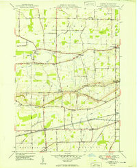 1949 Cambria1949 Print · USGSNiagara County's rural landscape is captured here in the late 1940s, highlighting the dramatic transition of the escarpment and the rail-fed agriculture of the era. Genealogists and historians can trace several named crossroads and early district schools, from Molyneaux Corners to School No 9 and the historic St Andrews Sch.
 - 1949 Map of Barker
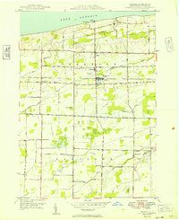 1949 Barker1949 Print · USGSNiagara County's Lake Ontario shoreline in the late 1940s is defined by productive orchards and small rail-centered villages. Genealogists and historians can trace the foundations of local life through landmarks like Quaker Road Ch, the Trade School Airport, and School No 11.
 - 1949 Map of Sixmile Creek
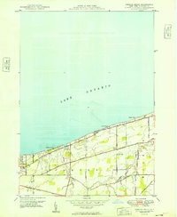 1949 Sixmile Creek1949 Print · USGSThe Lake Ontario shoreline in Niagara County remained a mix of quiet fruit orchards and summer beaches in the years following World War II. Genealogists and local historians can trace the rural landscape through Filmore Chapel Cem, family-named tracts like Harrison Grove, and old routes like Braley Road.
 - 1949 Map of Niagara Falls
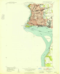 1949 Niagara Falls1949 Print · USGSNiagara Falls at the close of the 1940s showcases a dense urban grid and international border long before modern redevelopment. Genealogists can trace family neighborhoods through sites like Oakwood Cem and Gaskill High Sch.
 - 1949 Map of Akron, 1965 Print
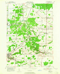 1949 Akron1965 Print · USGSWestern New York at mid-century reveals a landscape shaped by indigenous heritage and rural development. Genealogists and historians can trace family-named roads and old rail stops like Basom and Pembroke Sta, or locate sites like the Council House and Evergreen Cem.
 - 1949 Map of Medina, 1970 Print
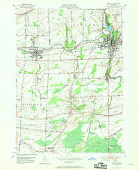 1949 Medina1970 Print · USGSThe Erie Canal and New York Central railroad define this late 1940s landscape between Middleport and Medina. Researchers can trace rural life through landmarks like School No 15, the Site of Neuter Fort, and Boxwood Cem.
End of results
Showing maps 1-12 of 12
Top cities of Niagara County
- Niagara Falls historical maps
- North Tonawanda historical maps
- Lockport historical maps
- Lockport historical maps
- Wheatfield historical maps
- Lewiston historical maps
See more
Frequently asked questions
- What are the different types of historical maps available for Niagara County?
- What is the oldest map of Niagara County?
- Where can I purchase historical maps of Niagara County for my home or office?
- Where can I download high-res historical maps of Niagara County?
- Are there historical topographic maps available for Niagara County?
- Is there historical aerial imagery available for Niagara County?
- Where are historical maps of Niagara County sourced from?